Whatever goes up must come down, right?
The plan
Drive back to San Diego via SR 89, U.S.60, and depending on time – either via Box Canyon Road / SR 86/ SR 78, or SR 78 via Glamis and I-8. Total distance: 375 miles, all on pavement.
The reality
We wake up near 7 am to some snow/sleet on our trucks and camping gear. It is pretty chilly - the raising sun barely melts the snow on the camping table by 8, and ... the water re-freezes by 9.
Richard leaves our diminished convoy and heads back to Southern California on pavement; now we're down to five trucks.
It is pretty windy; we have our breakfast, pack up the camping gear for good, and head out West on Schnebly Hill Road.
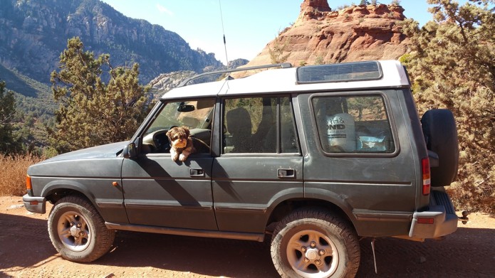
The road is awesome. For a long time we don't see a single vehicle - and only at the most-scenic spot the Pink Jeep Tours catch up with us. It is too cold to stay out without long pants and heavy jacket, and it feels bizarre and foreign to drive with the windows rolled up and heater - on.
Half-way downhill, we meet a couple trying to navigate the rocky ledges in a late-model Honda Pilot; the trucklet spins its front left and rear tires in soft dirt, facing a three-inch-tall ledge. We manage to talk the vehicle occupants into turning back - which was a challenge in itself. The story repeats a couple of miles later, with a company of a brand new rental Ford Expedition and Dodge Journey. It is amazing what we take for granted in old Land Rovers!
We air up at the small parking lot near the end of Schnebly Hill Road, and finally hit the road home - briefly stopping at the Bell Rock viewpoint. We have 470 miles to cover; the wind comes from North-West and strenghtens. Gabriel's Range Rover's small engine valiantly fights against large tires and the wind - Peter falls the victim of peer pressure of the tractor-trailers impatiently passing our convoy and leaves us in our wake somewhere near Phoenix. Down to four vehicles, we make our way to Gila Bend, have a windy and dusty lunch, and fight on towards California.
Eddie correctly predicts the sandstorm after Yuma - and for a while we drive in about a hundred-foot visibility. The sand clears up near El Centro, and soon after Gabriel has to contend with a relentless climb from near-sea-level in Anza-Borrego desert up towards a 4140-foot Tecate divide.
Last split - Eddie follows Gabriel to SR 67, Nikolay and me stay on Interstate 8...
By the nightfall, we all are safely home - if a little dizzy from noise and dehydration.
Tally for the day: 11 miles on dirt and 470 miles on pavement - more than a hundred miles more than planned. Just as we are finally in the groove, the trip is over...
Photos from the Day 4:
Peter Matusov and Nikolay Matusov
.jpg)


.jpg)