Duck, North Carolina, September 1999
|
Duck, North Carolina, September 1999 |
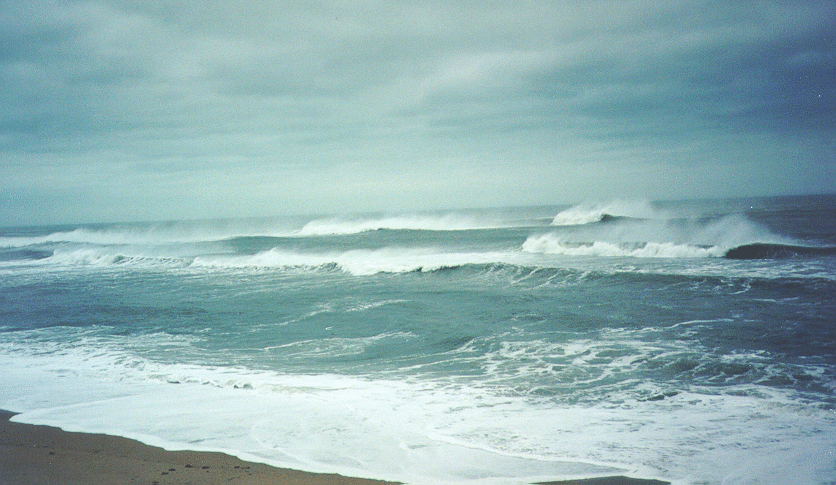
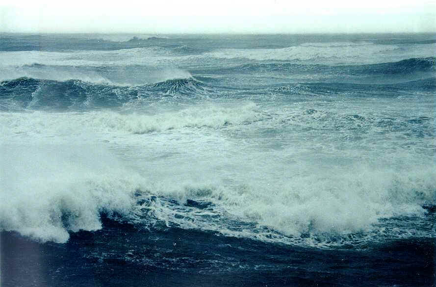
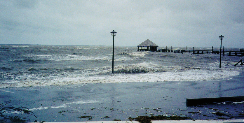
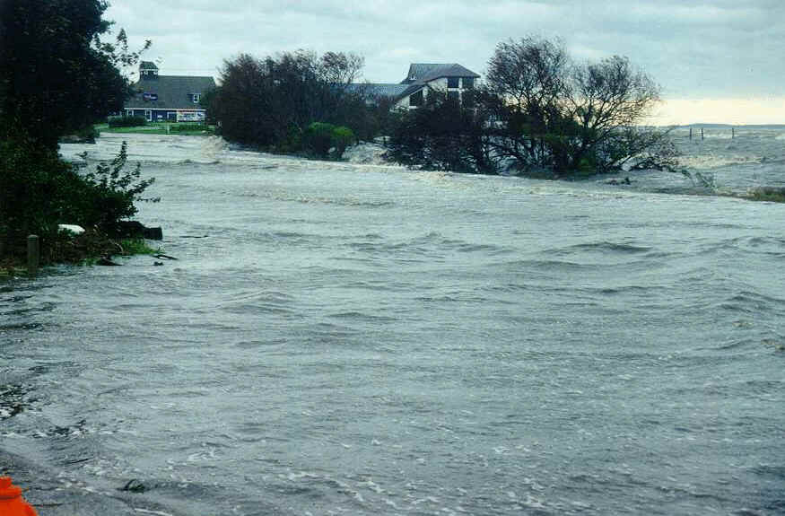
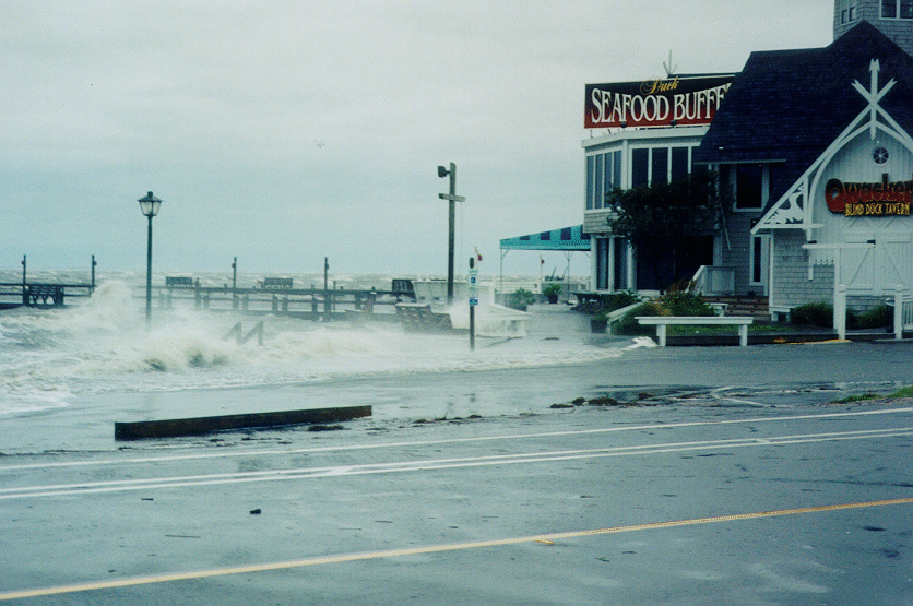
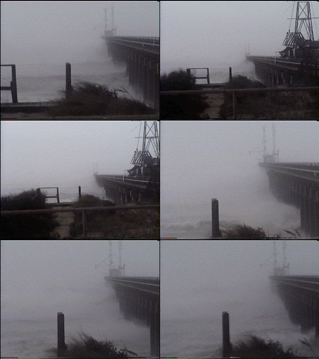
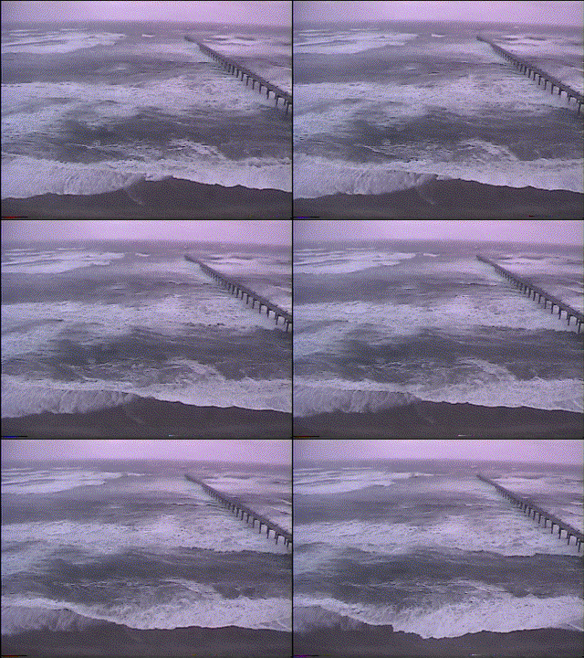
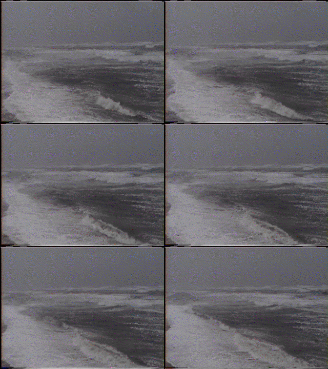
| Here's a collection of photos taken during and after hurricane Floyd
at Duck, North Carolina. This storm was categorized a 500-year event in
weather history of North Carolina; most of the damage was caused by flooding
which did not bring much harm Barrier Islands. The eye of the hurricane
passed West of the Sound, not too far though. By that time, wind anemometer
at Army Corps of Engineers Field
Research Facility at Duck recorded sustained winds about 35-40 m/s
(78-90 mph, or 70-80 kts) and maximum gust of 47 m/s (104 mph, or 94 kts),
long way down from the hurricane's Category 4 rating just a few hours before.
The mandatory evacuation was in order for Barrier Islands, but by the time
the hurricane was close it looked like there will be more danger on the
roads, jammed with cars in pouring rain, than in the drier and calmer conditions
on the islands. We didn't brave sitting out the storm in our wooden rental
house (we saw no damage whatsoever to any residential buildings, a credit
for local building code), but retired into the safety of concrete walls
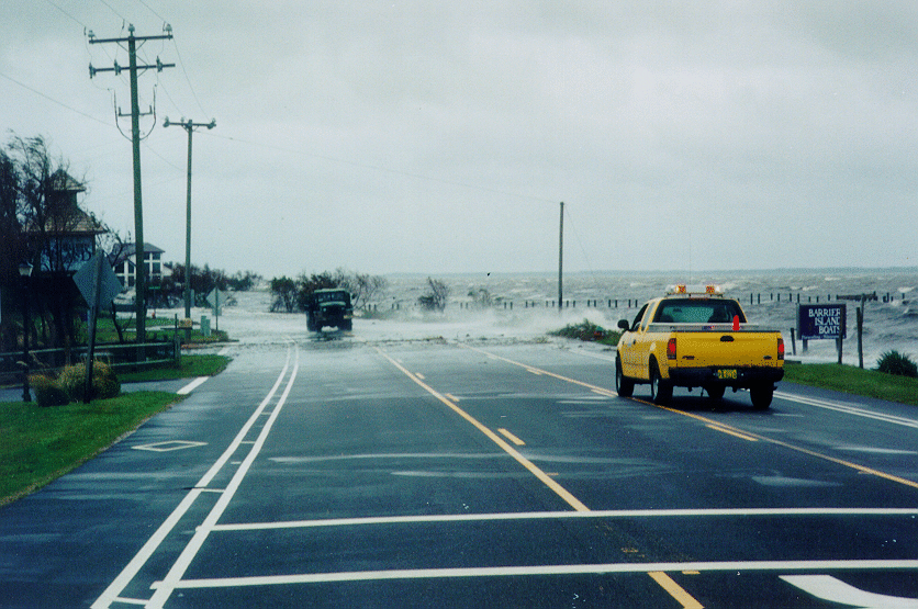
of the FRF building. Power was out for several hours, and the only road
going up the island was under three - four feet of water. Besides shelter,
FRF offered us hot coffee and a network link to the outside world, so we
could receive all our junk email together with a few useful messages and
reminders of late and lost paperwork :-) Our free email account providers
- Netscape and Hotmail - competed fiercely for being the slowest; but,
that was our only day when we had nowhere to rush - gotta be something
good about the hurricane.
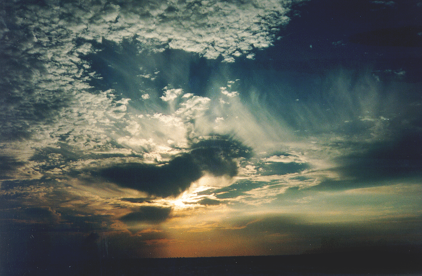
Click on the pictures to view the full-resolution images (take into account ~300kB image file size). Two pictures in the second column were taken by Mike Ritter.
|
There will be more pictures and possibly video clips from this event,
as films get developed, pictures scanned, and video fed into computers
- stay tuned!
|
|
|
|
|
|
|