by Peter Matusov
Before the trip: I can use my chance to skip Interstate 15, spend a night in Palmdale, and wake up in the morning for the trip to
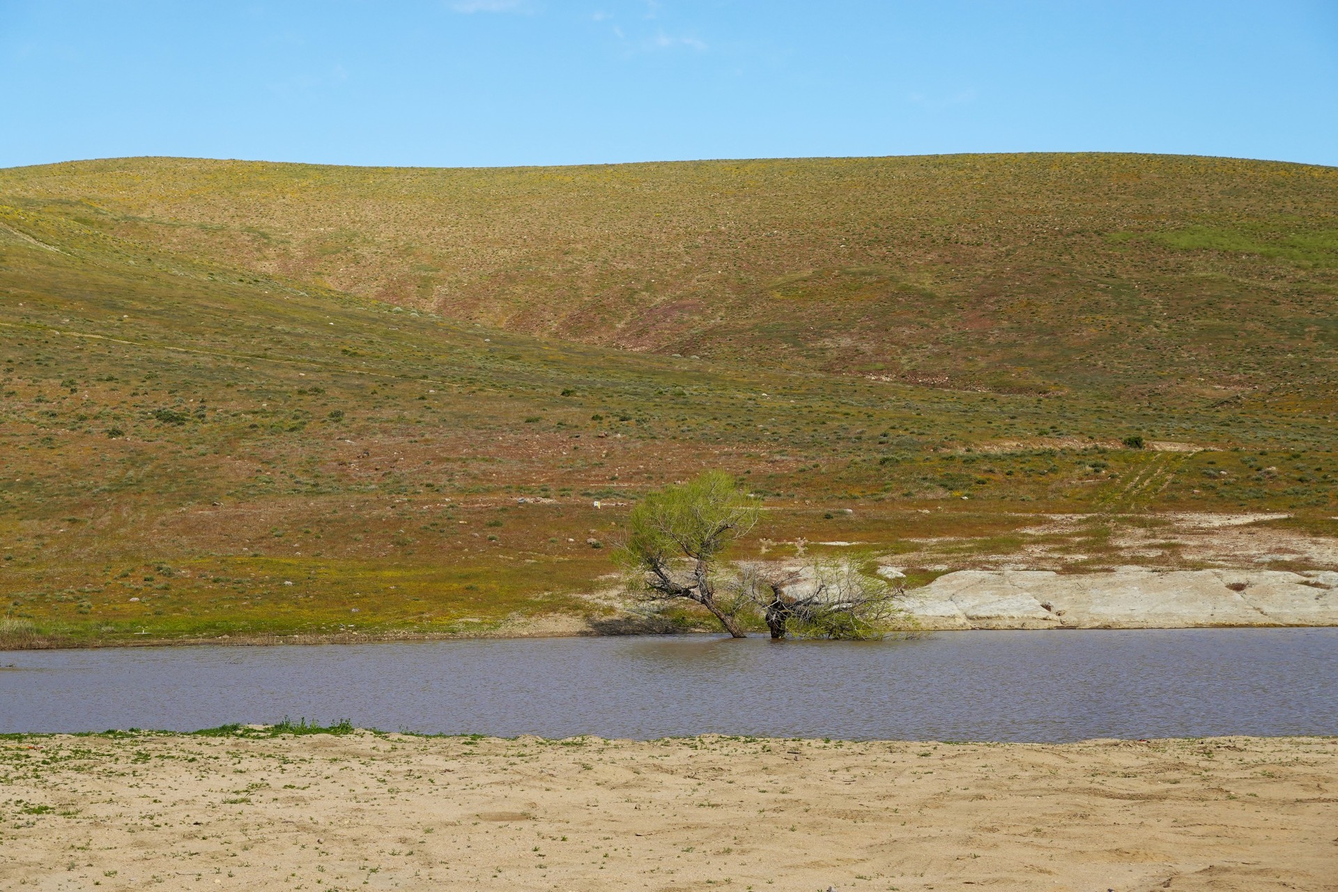
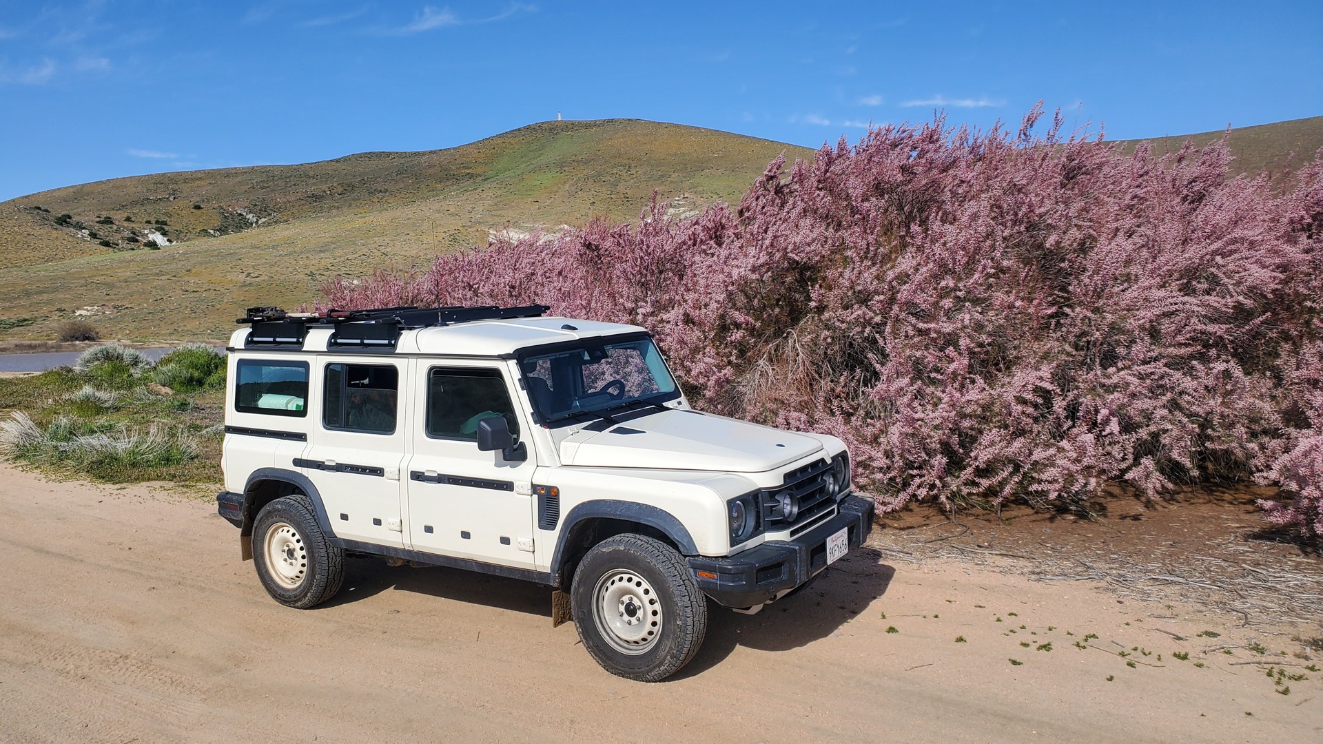
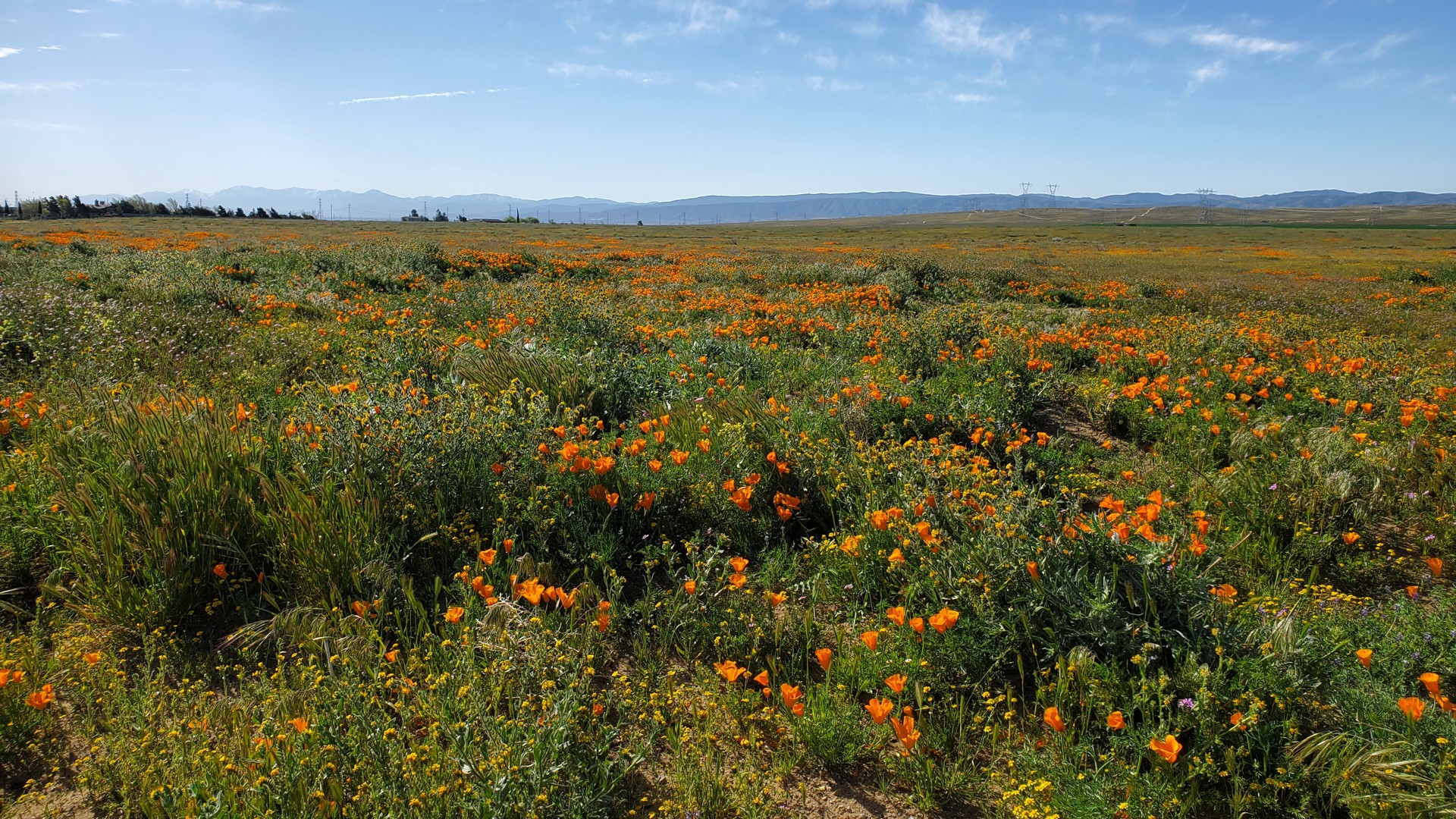
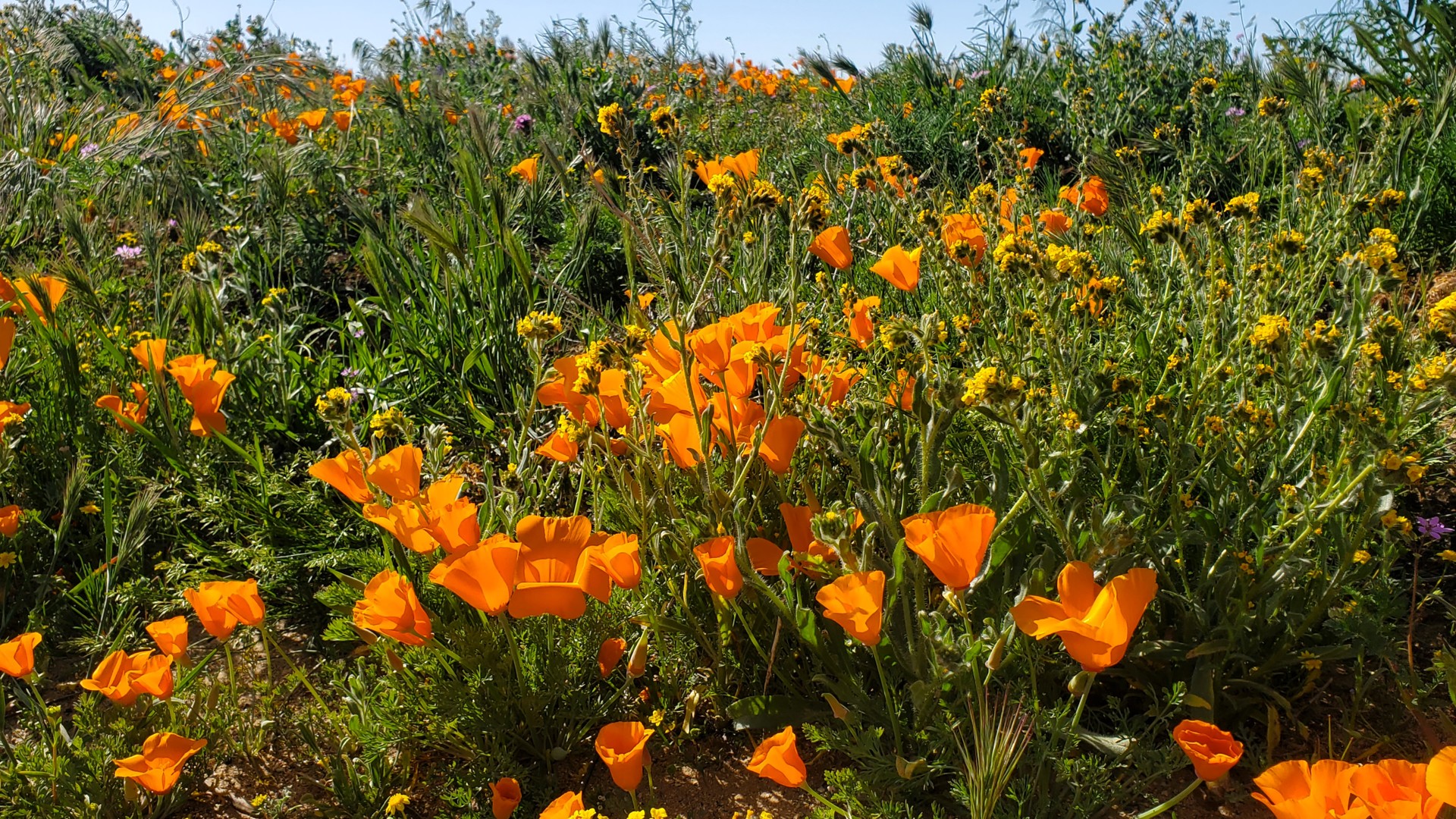
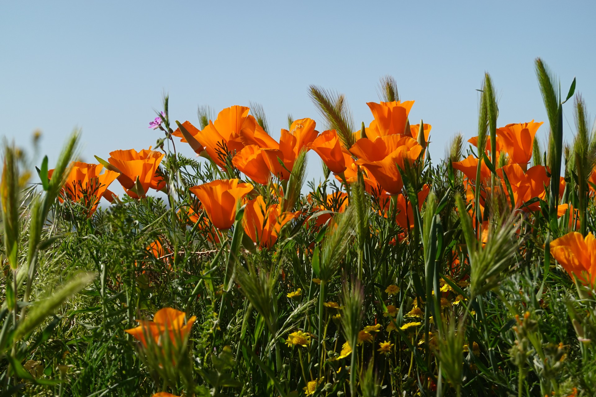
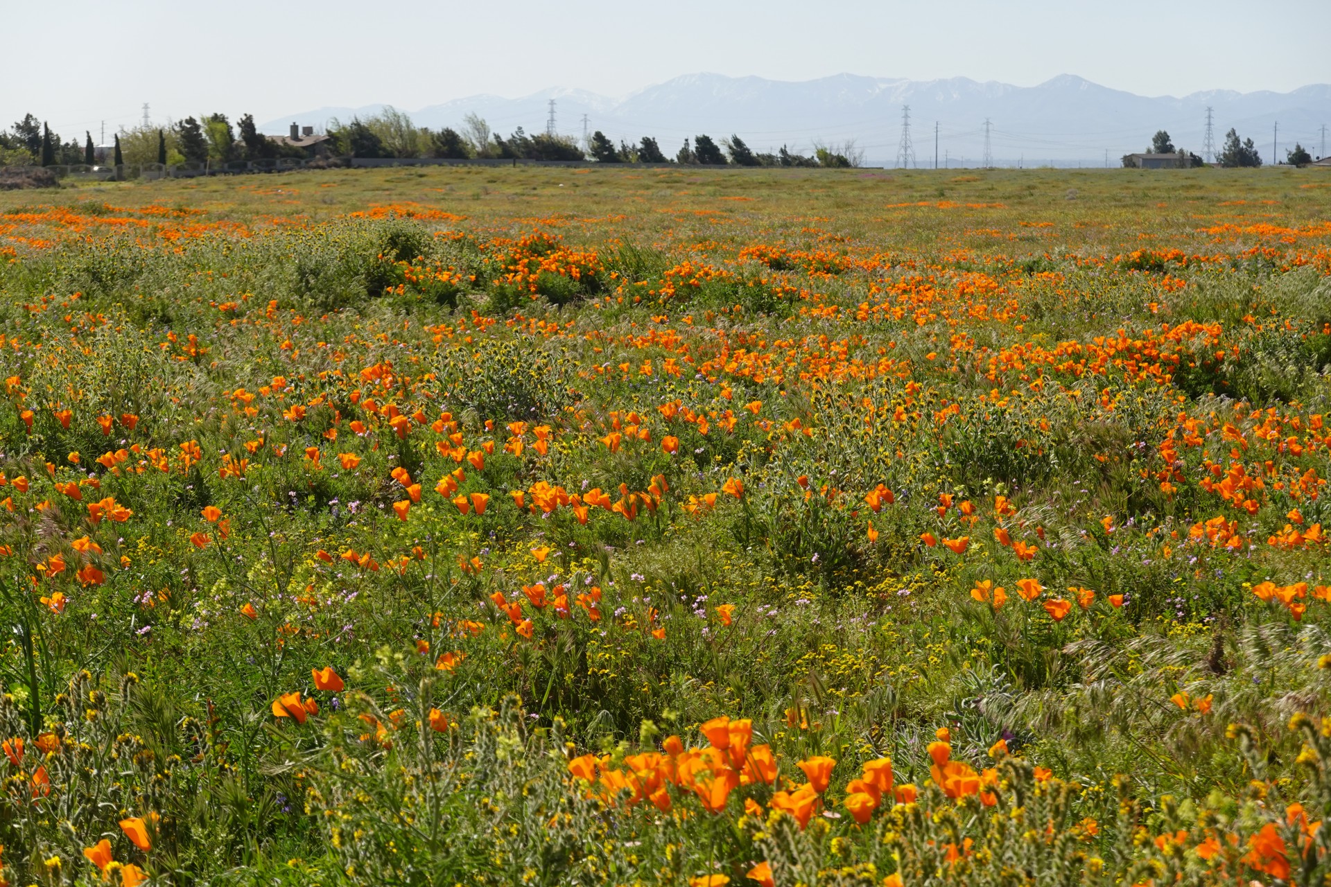
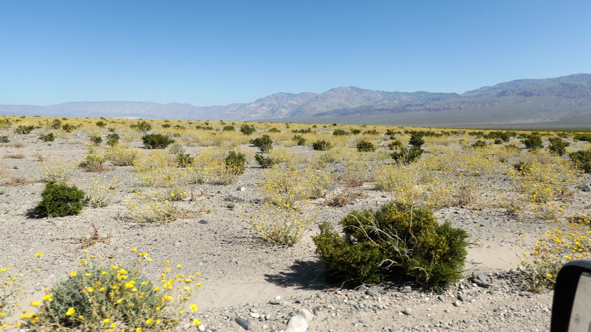
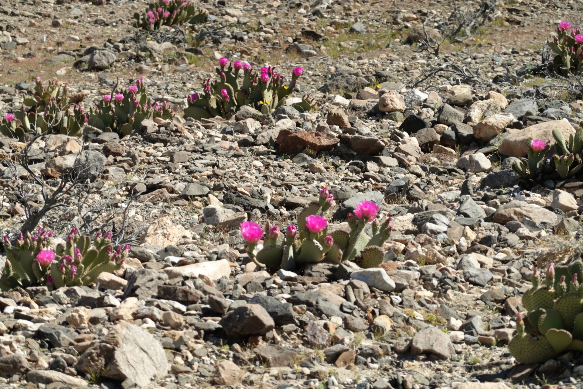
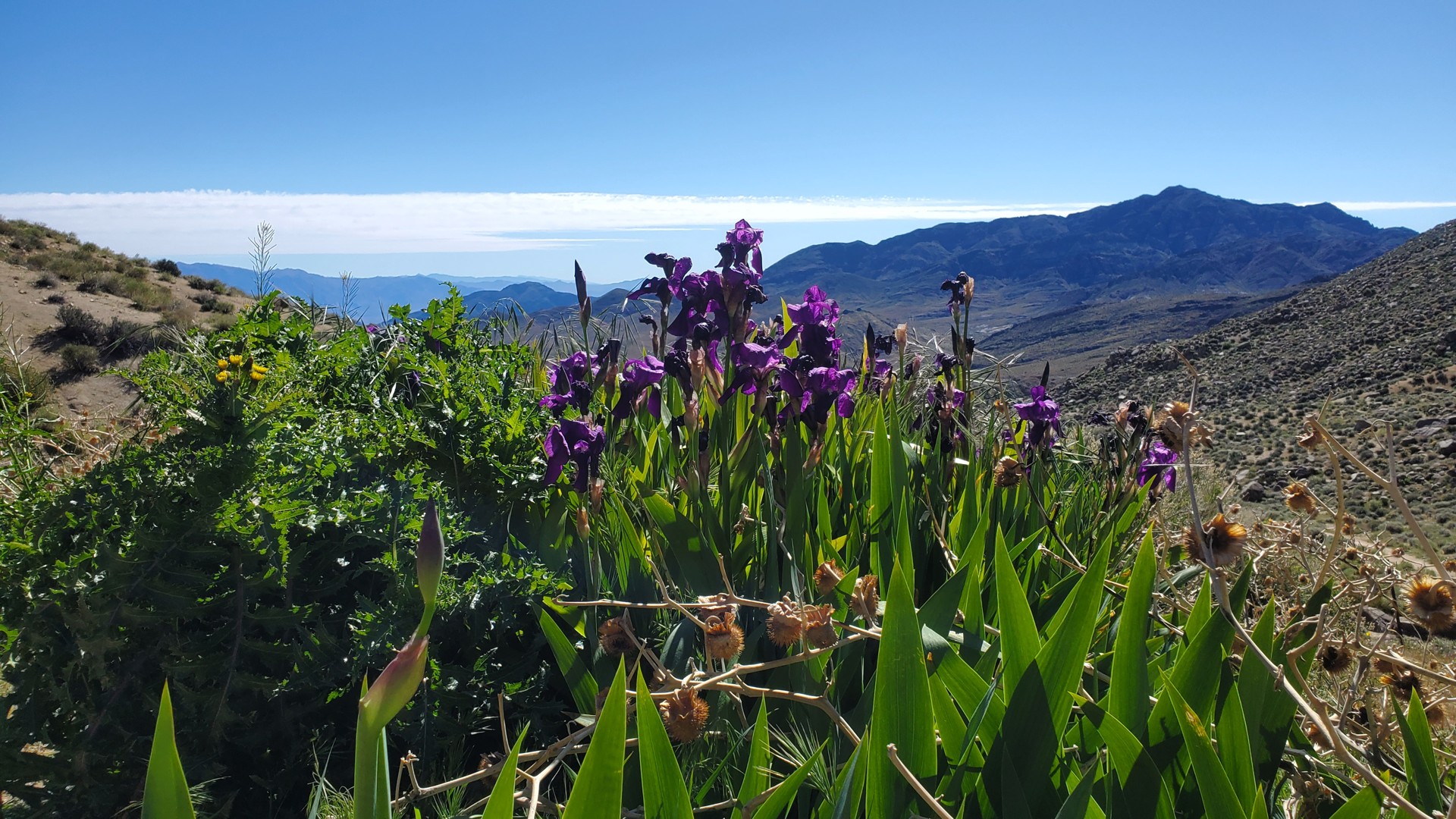
Antelope Valley Poppy Fields
The California poppies aren't in full swing yet, but it was worth stopping by. I have a couple of hours left before our
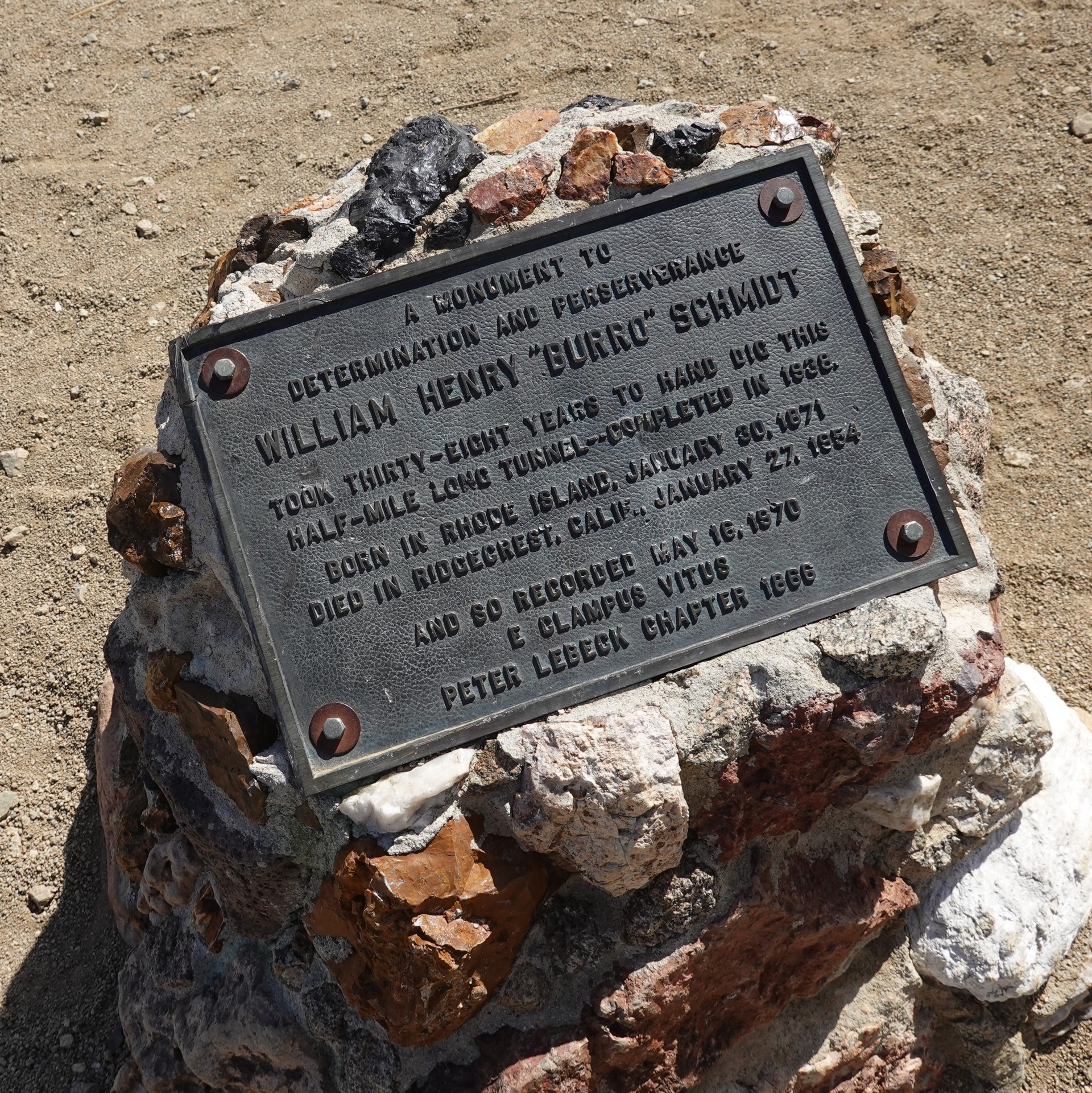
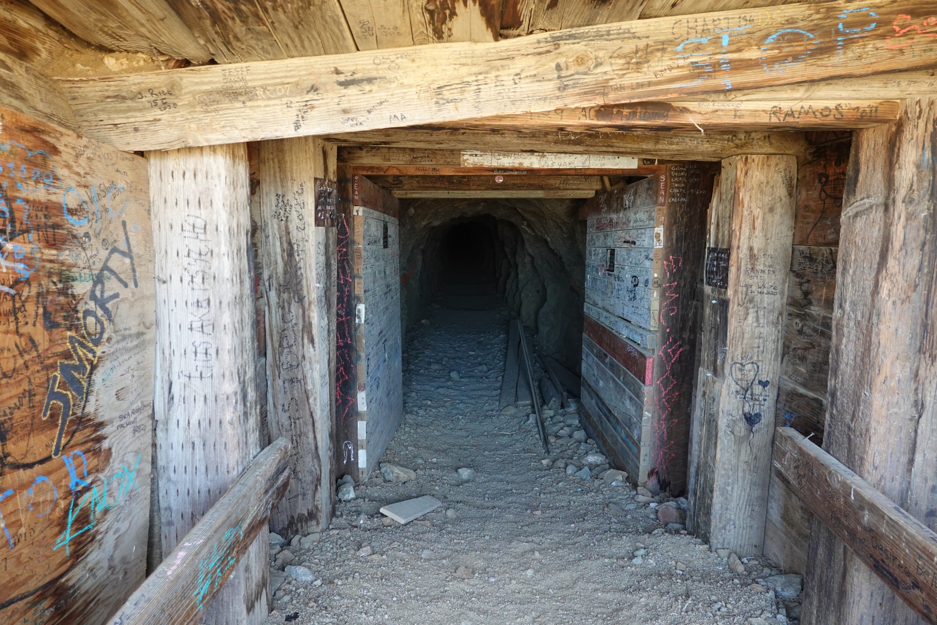
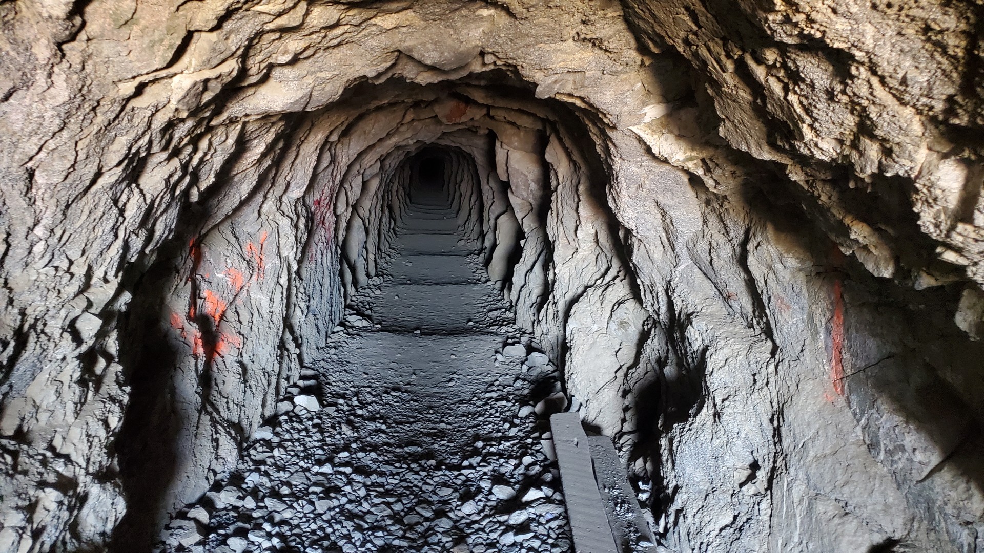
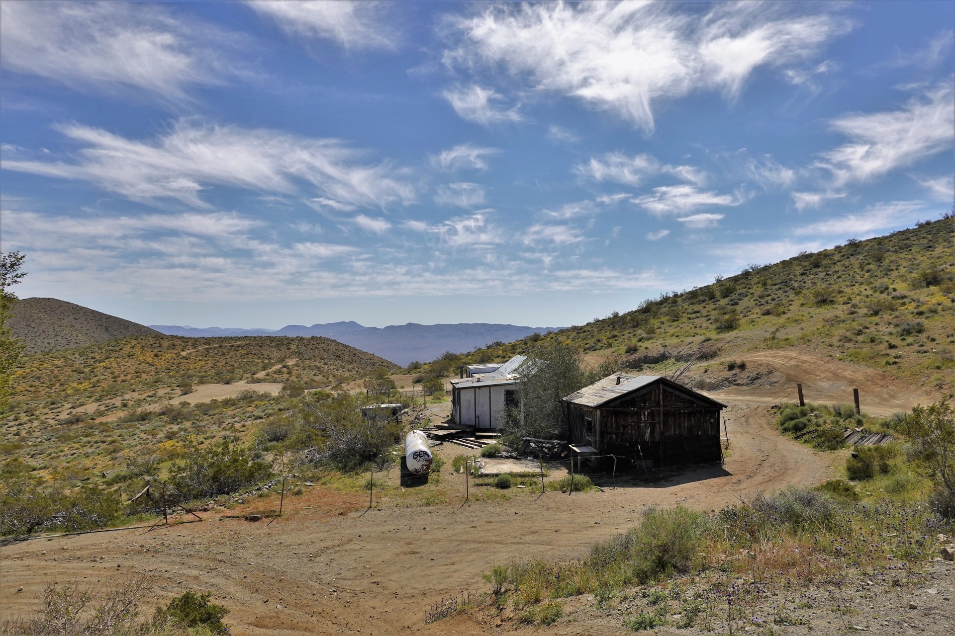
noon reunion in Randsburg, so I decide to chance a side trip to Burro Schmidt Tunnel.
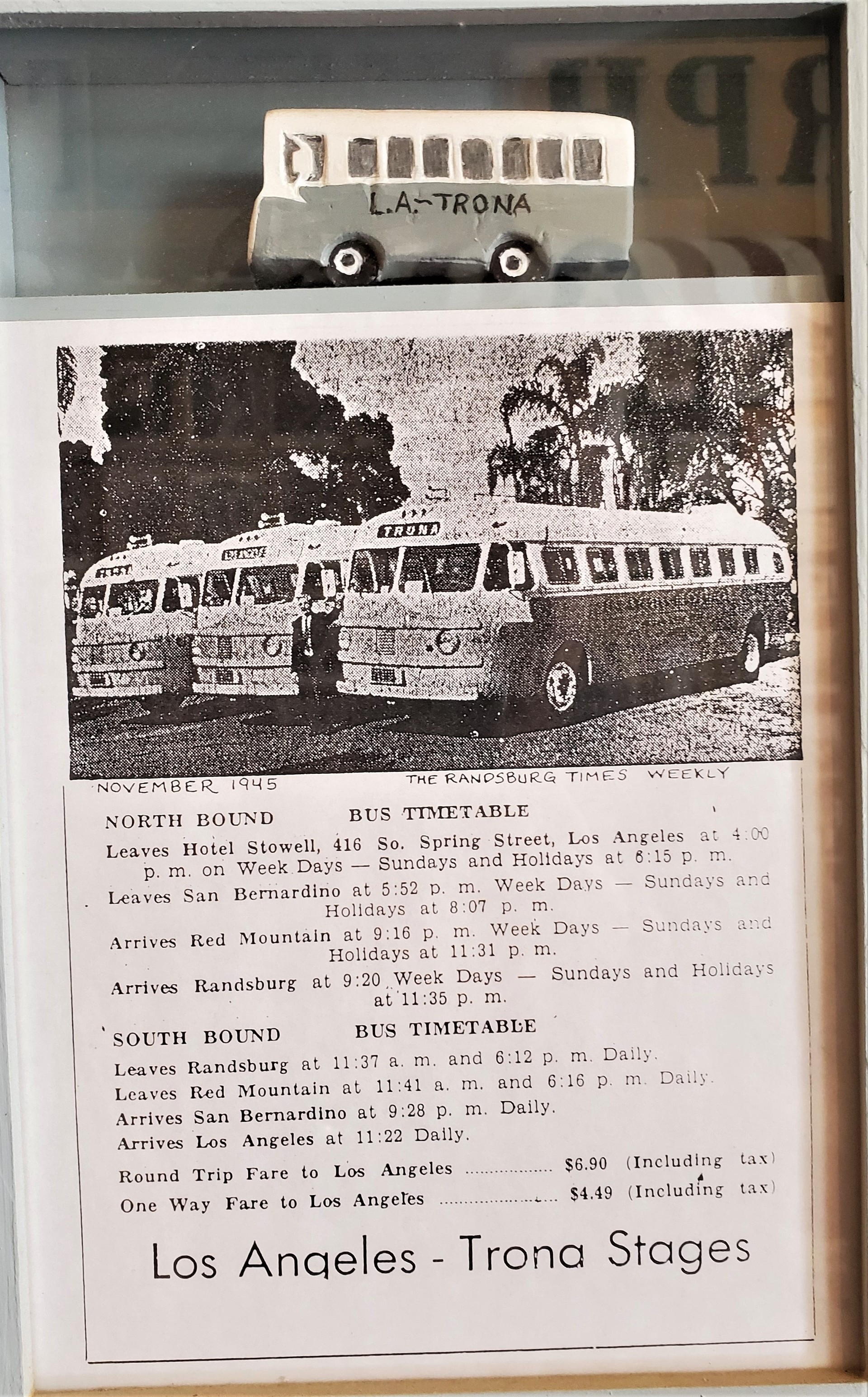
Mojave Desert: Burro Schmidt Tunnel and Randsburg
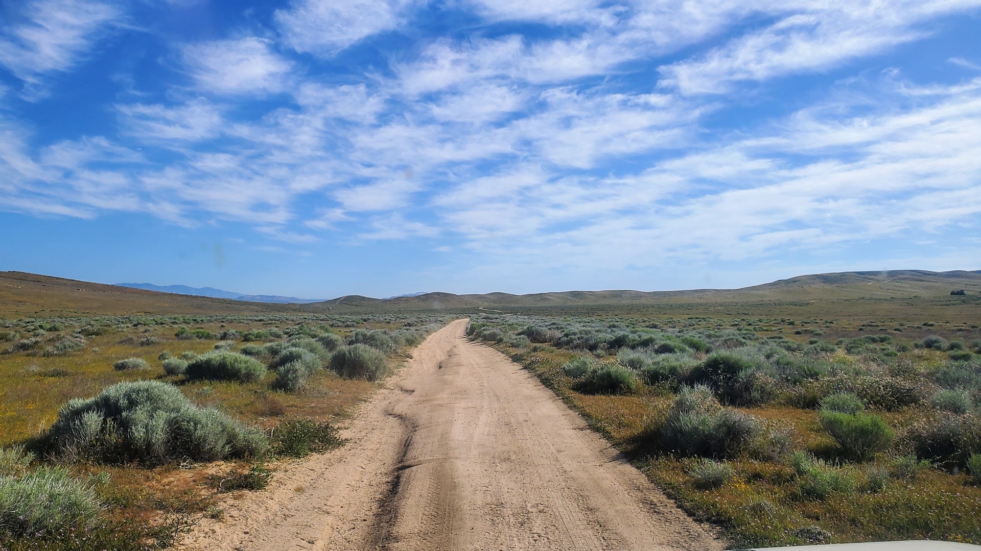
The Tunnel and cabin site are about 7.5 miles from Redrock-Randsburg road; Google says it takes 25 minutes to get there from pavement.
I am very determined to beat that time - but only manage 23 minutes on the way back.
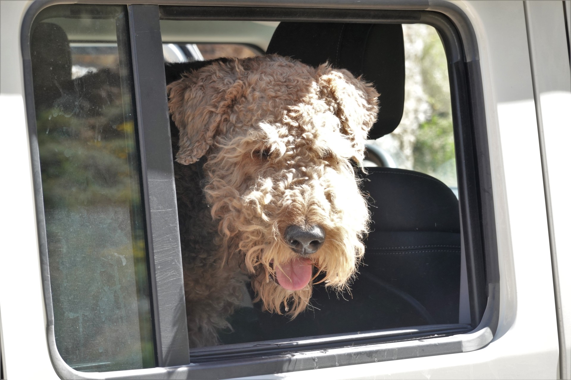
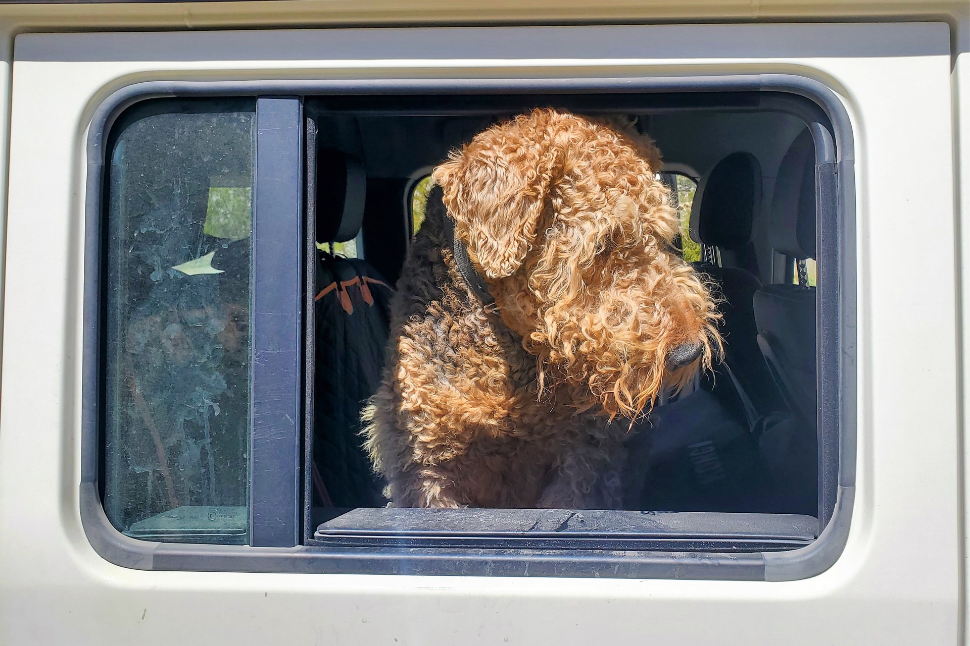
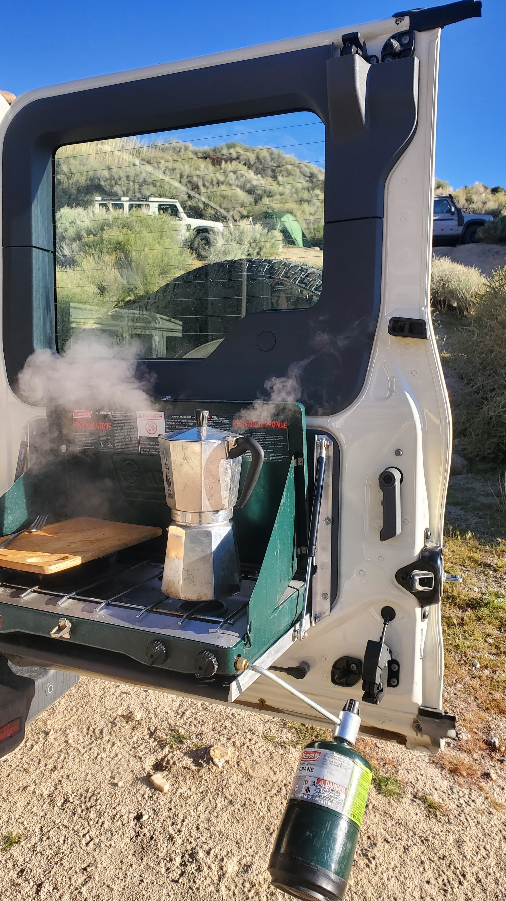
I wish I had time to walk through more of Burro Schmidt's 38-year-long toll, but Jules the Airedale is anxious to get going - and I don't
have much time left to make it to our meeting spot.
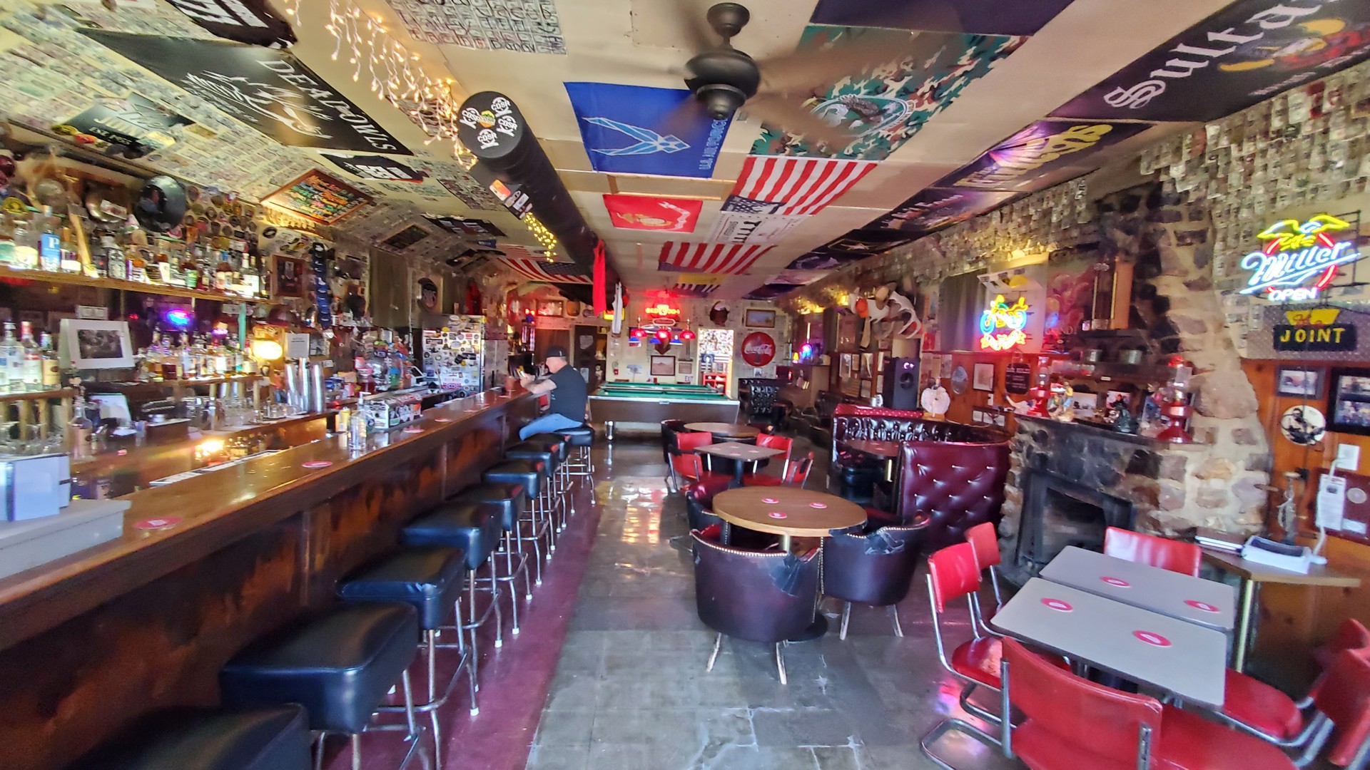
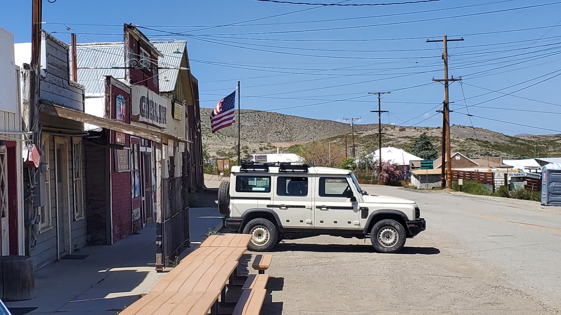
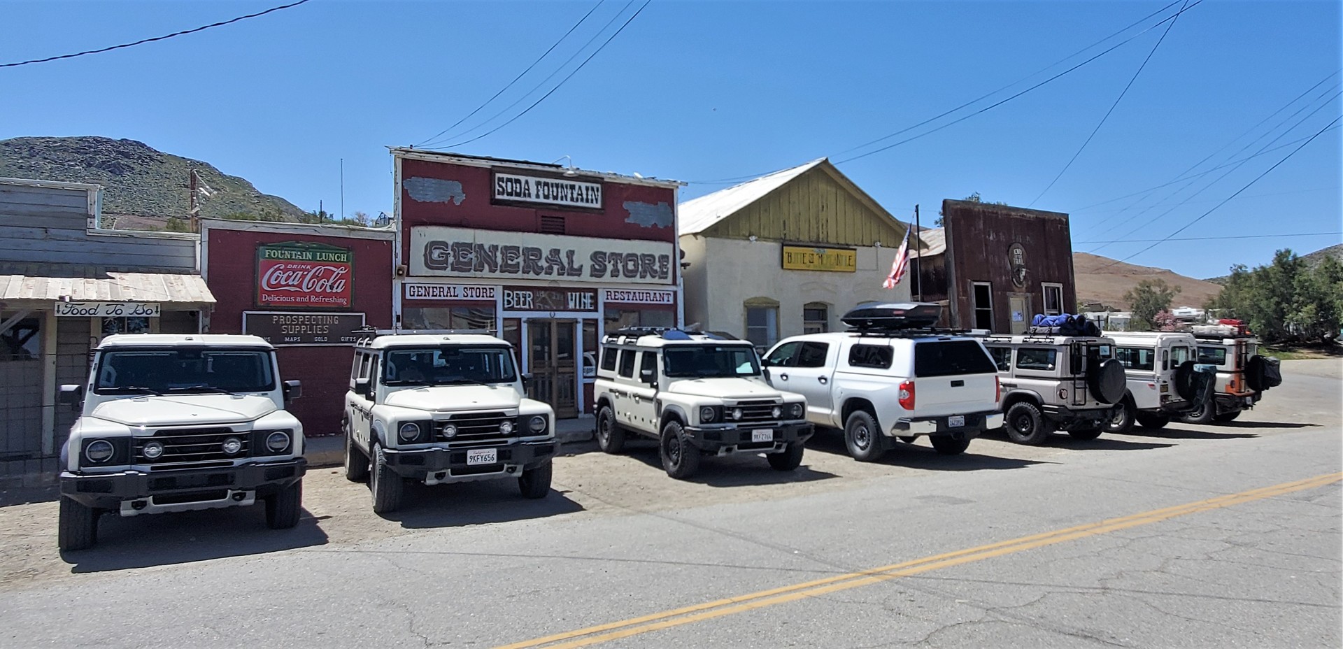
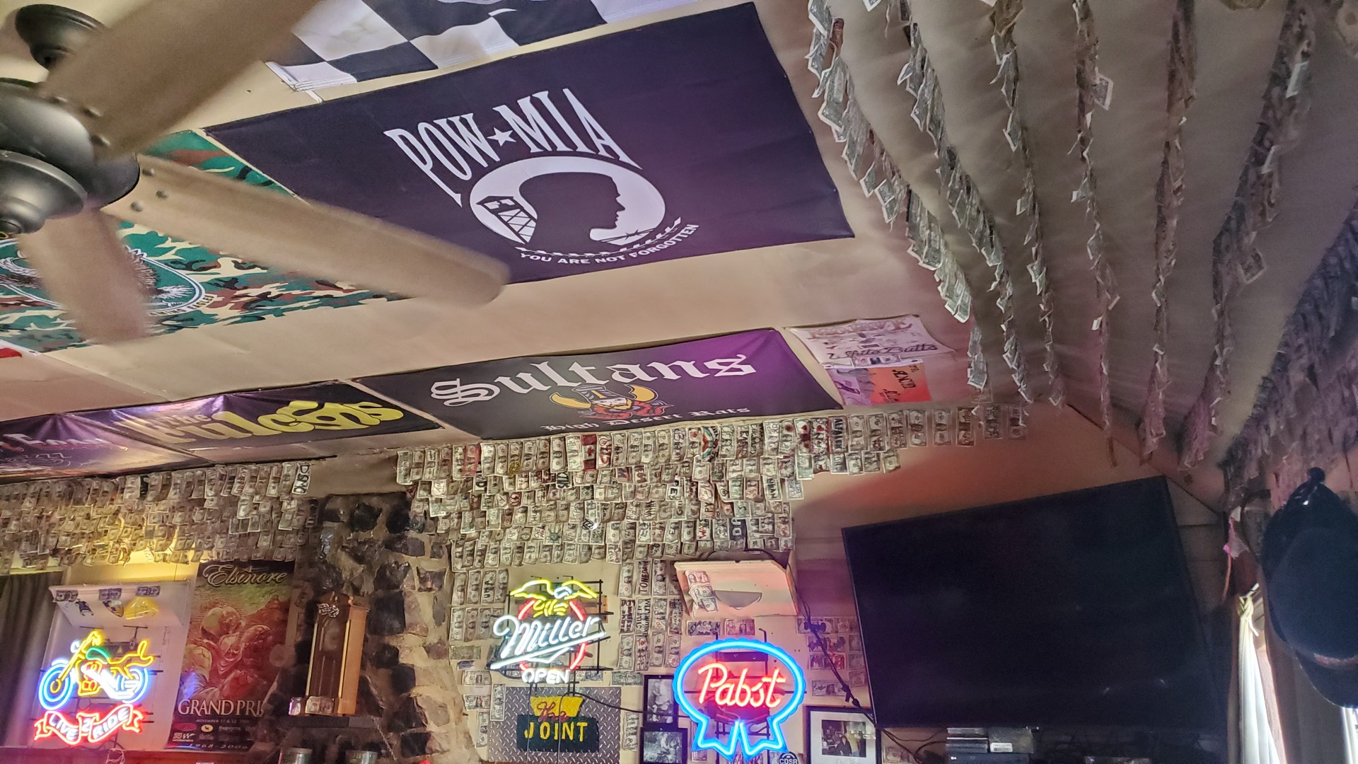
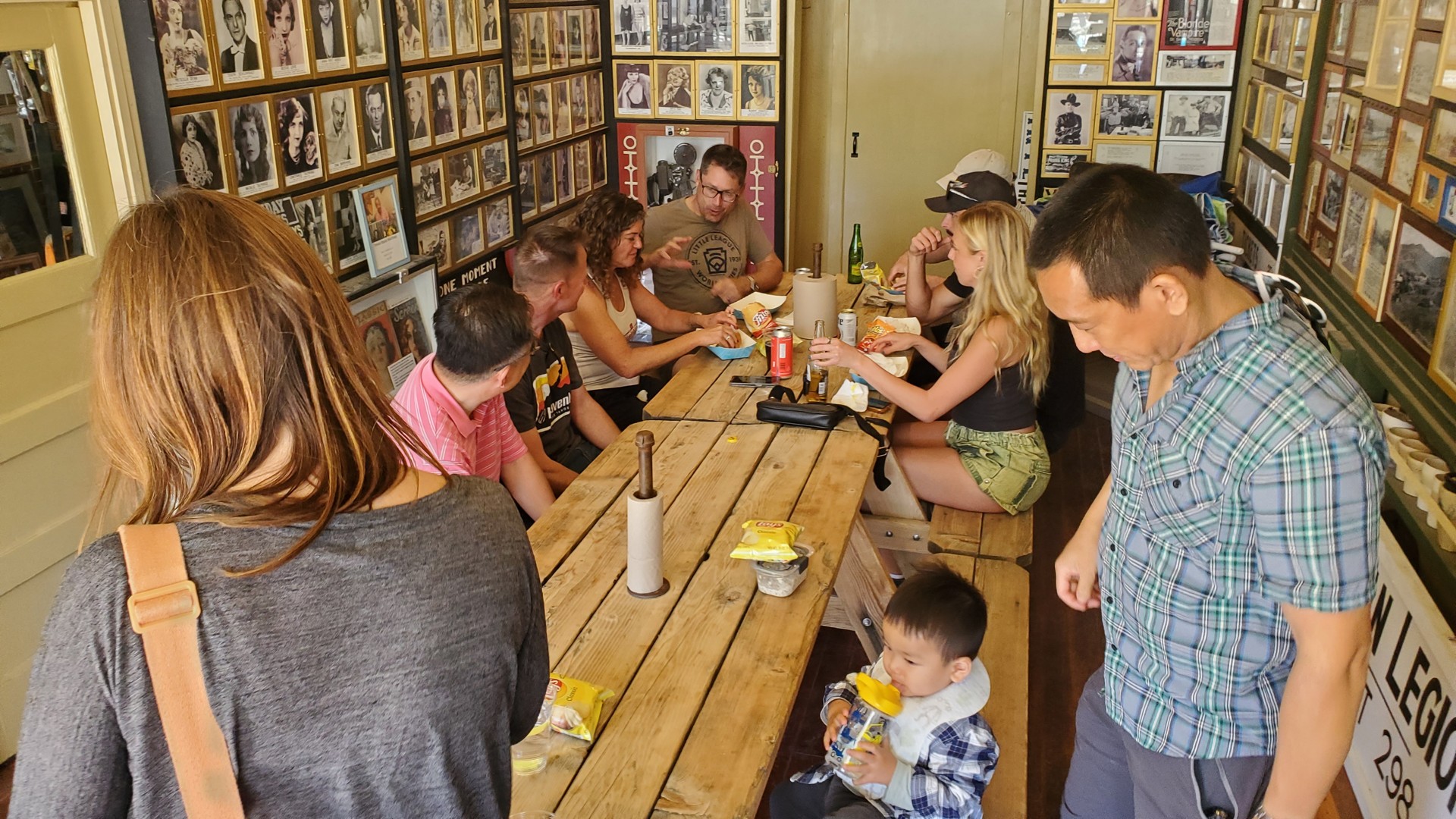
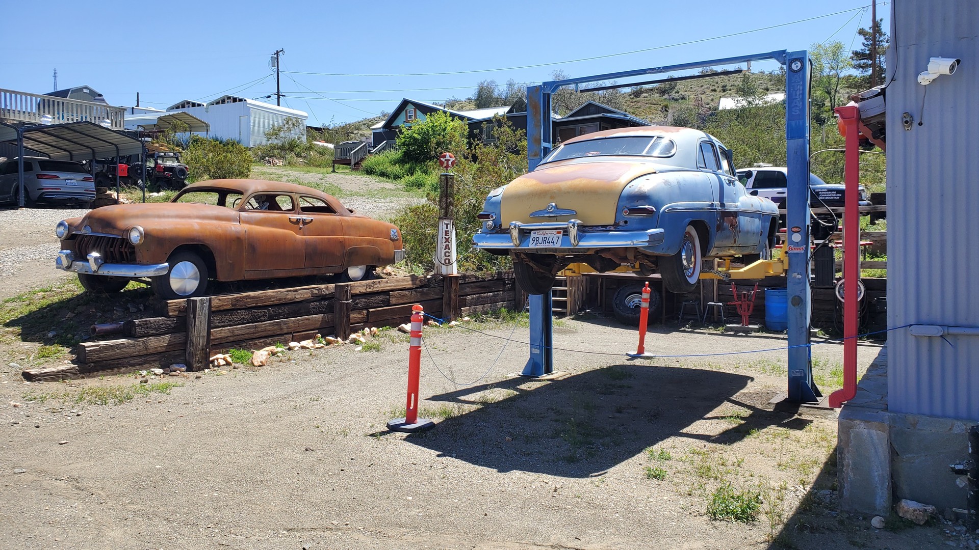
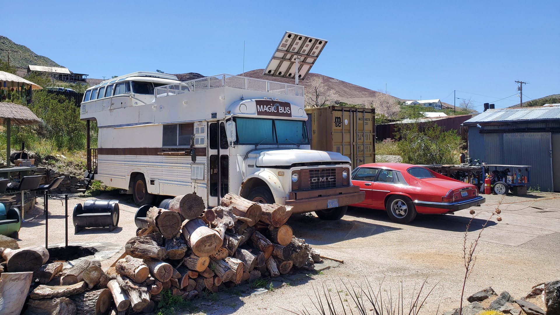
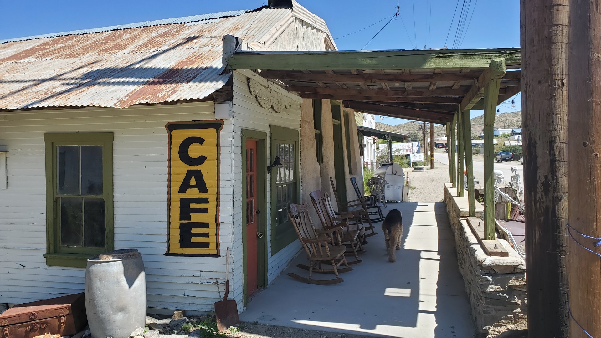
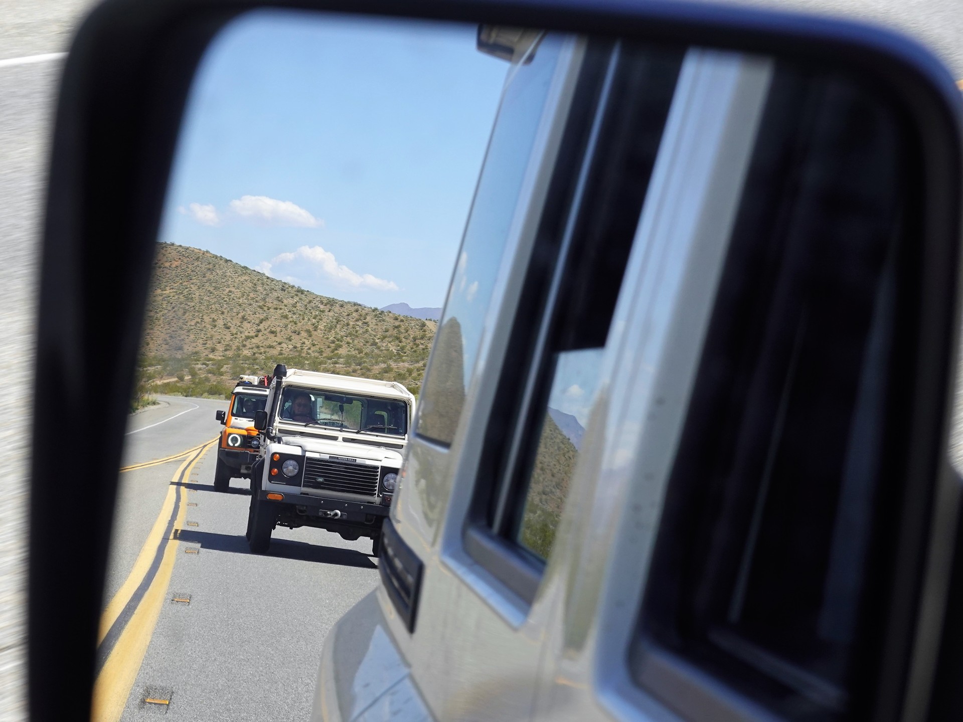
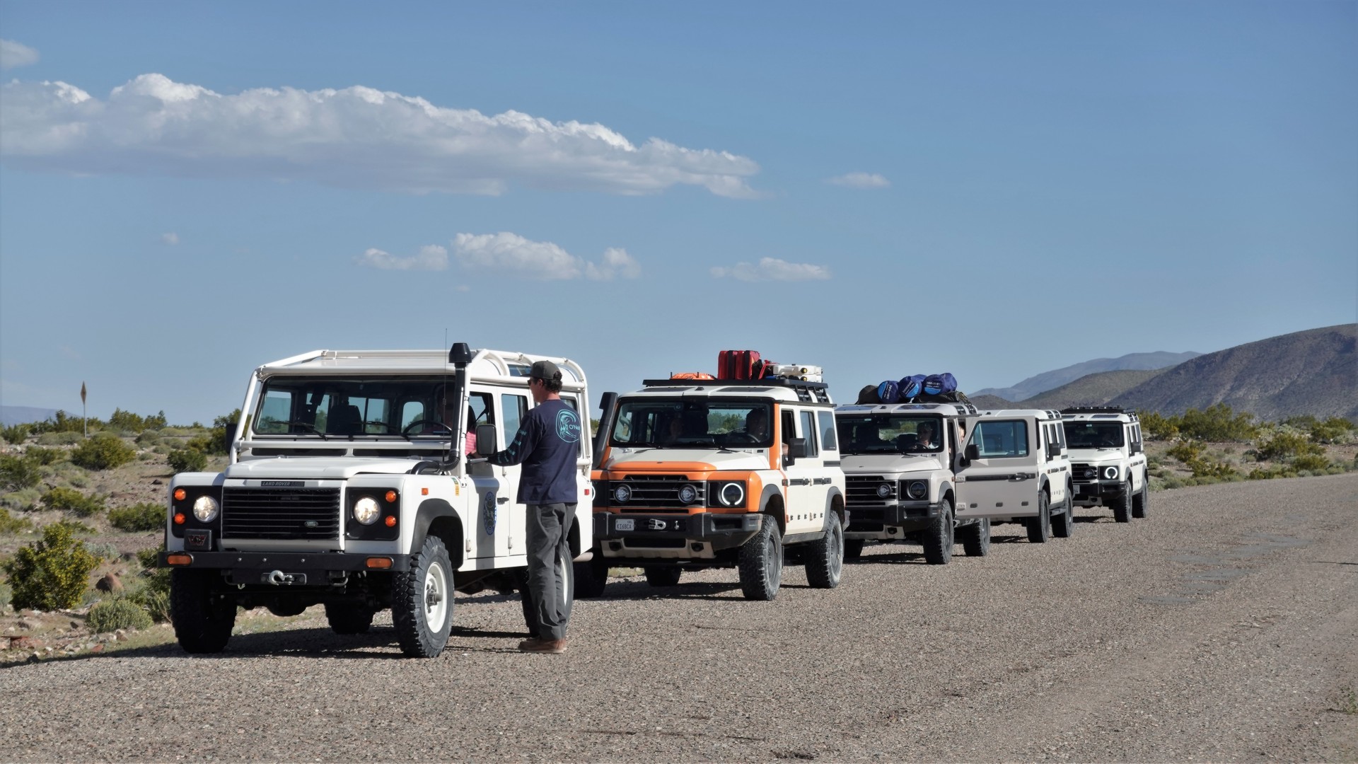
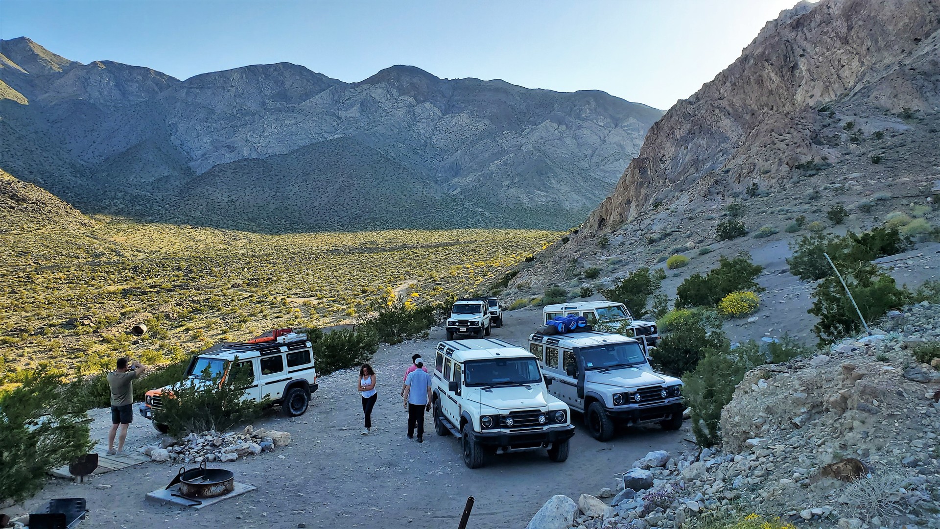
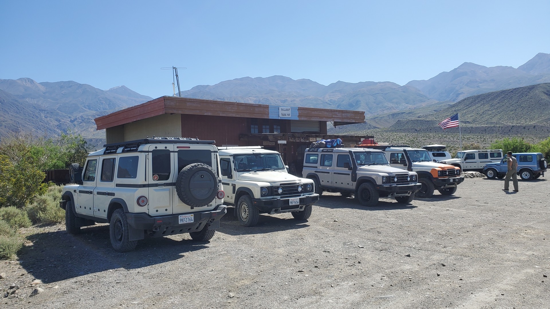
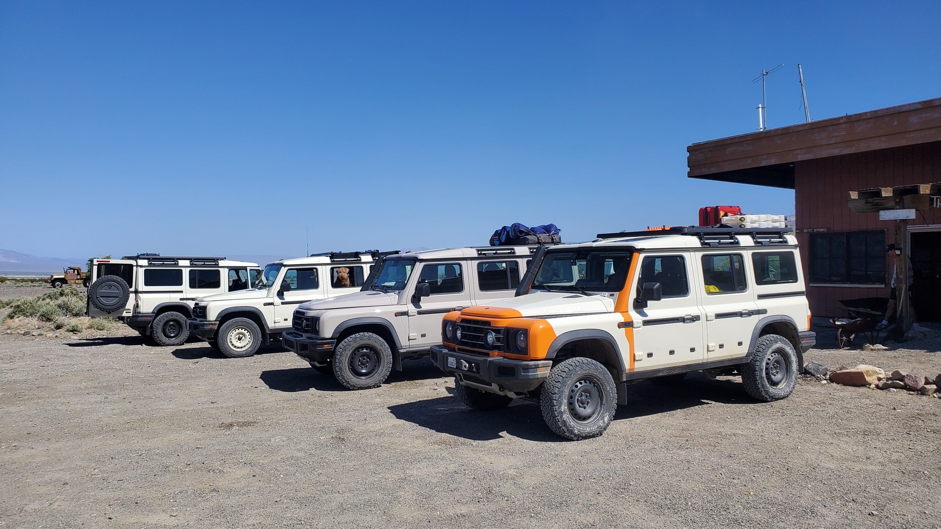
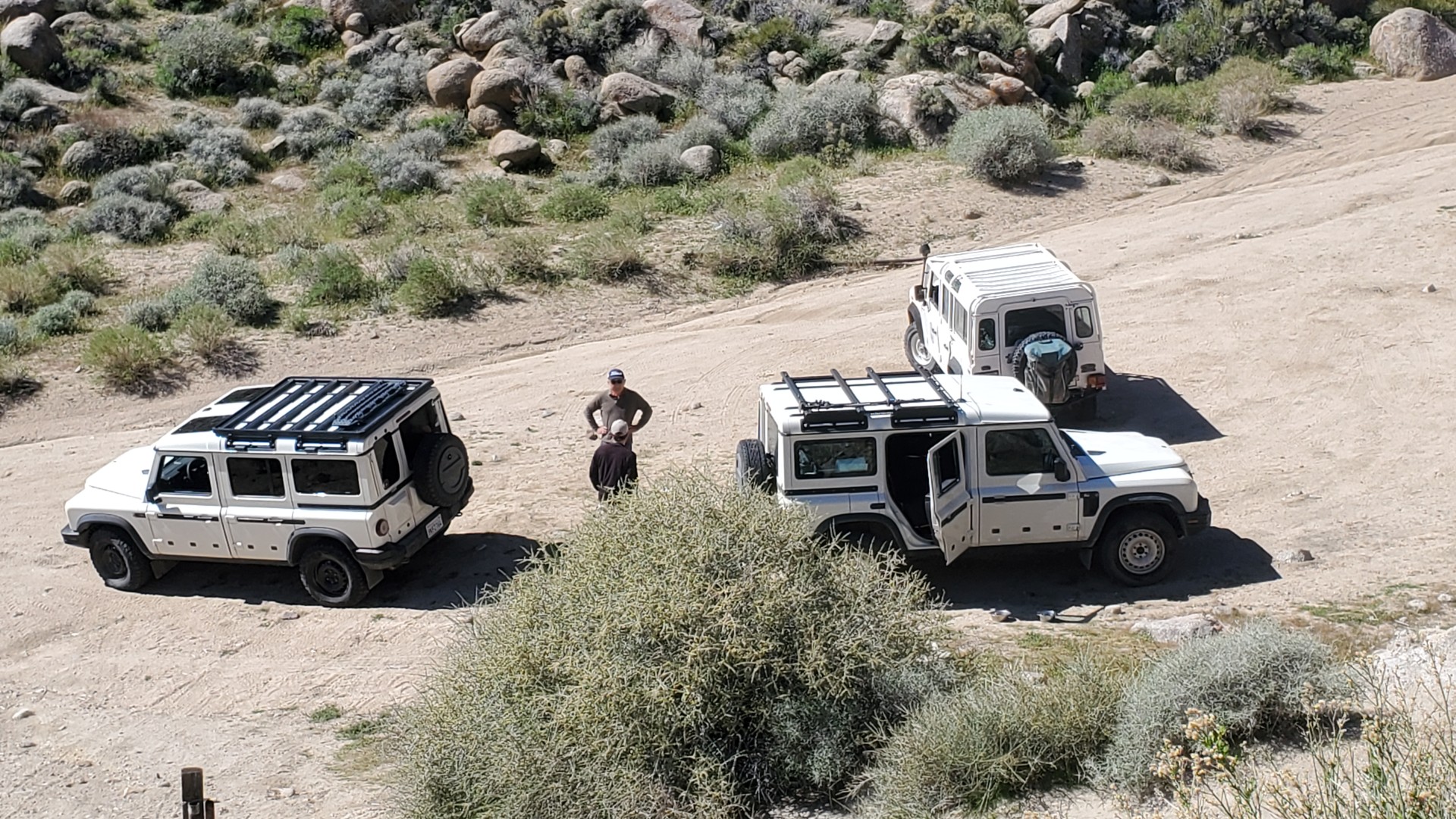
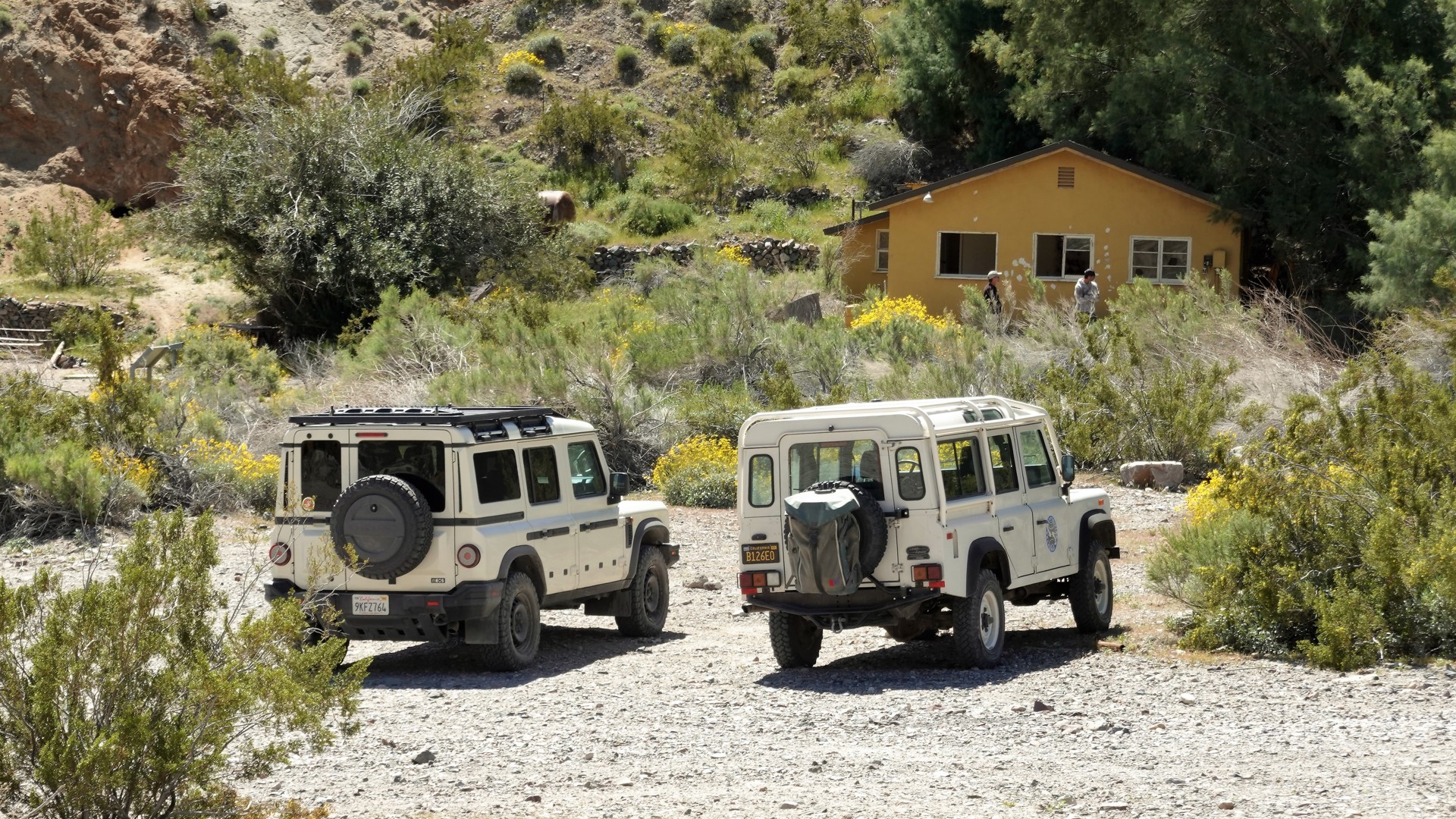
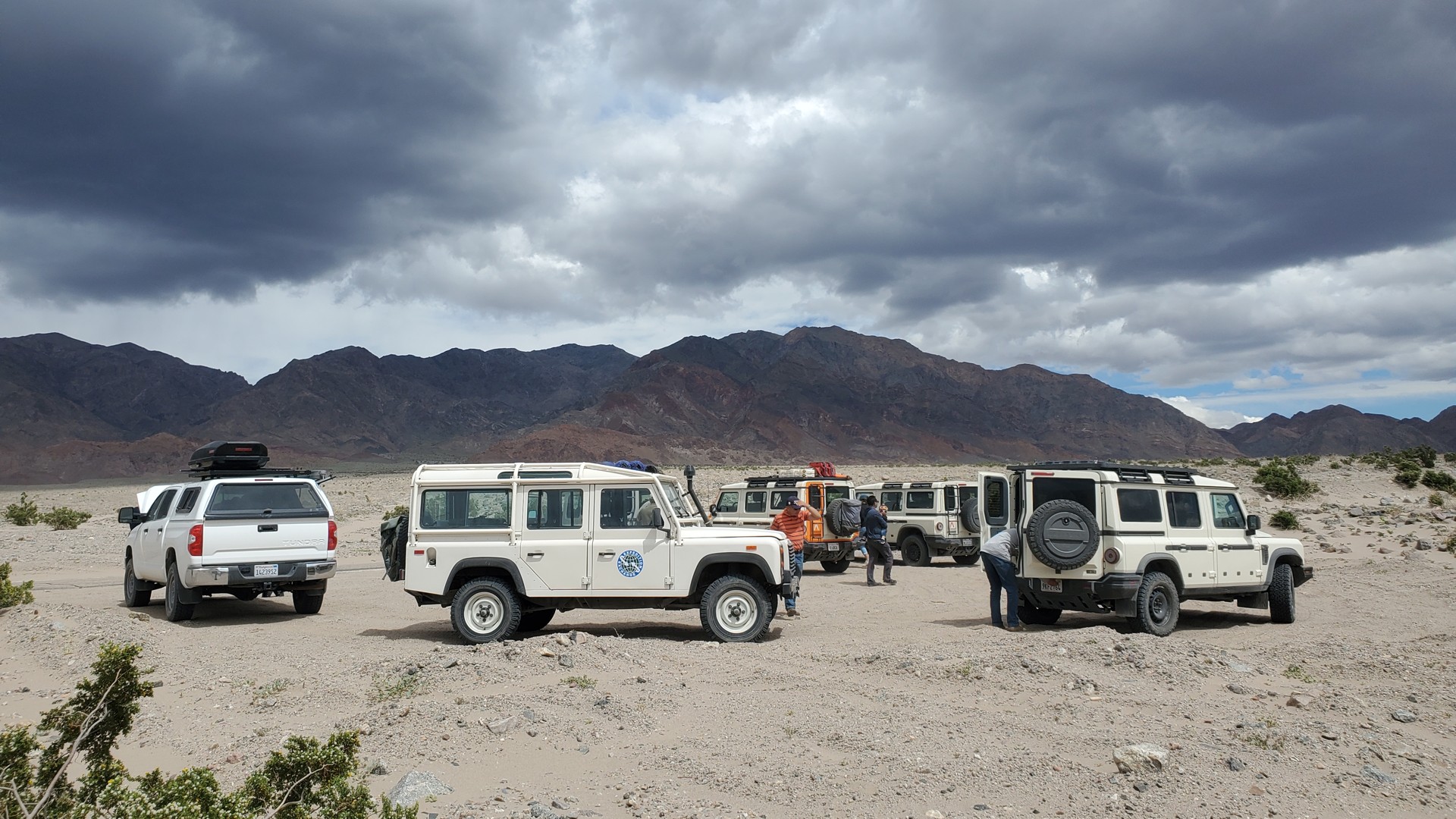
It took one gin-and-tonic from The Joint for the rest of the crew to arrive.
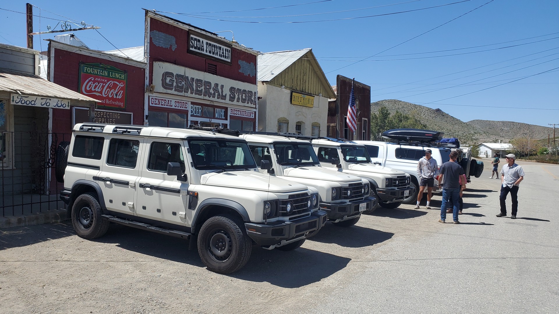
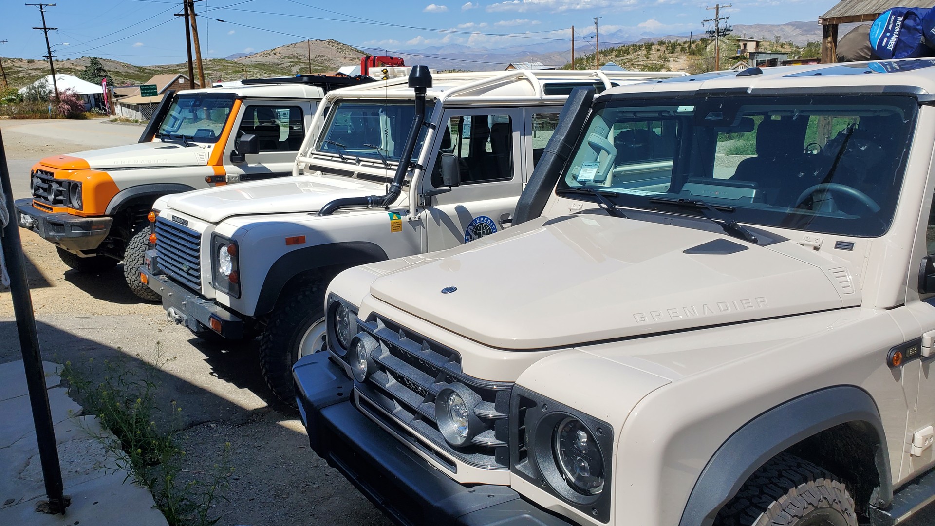
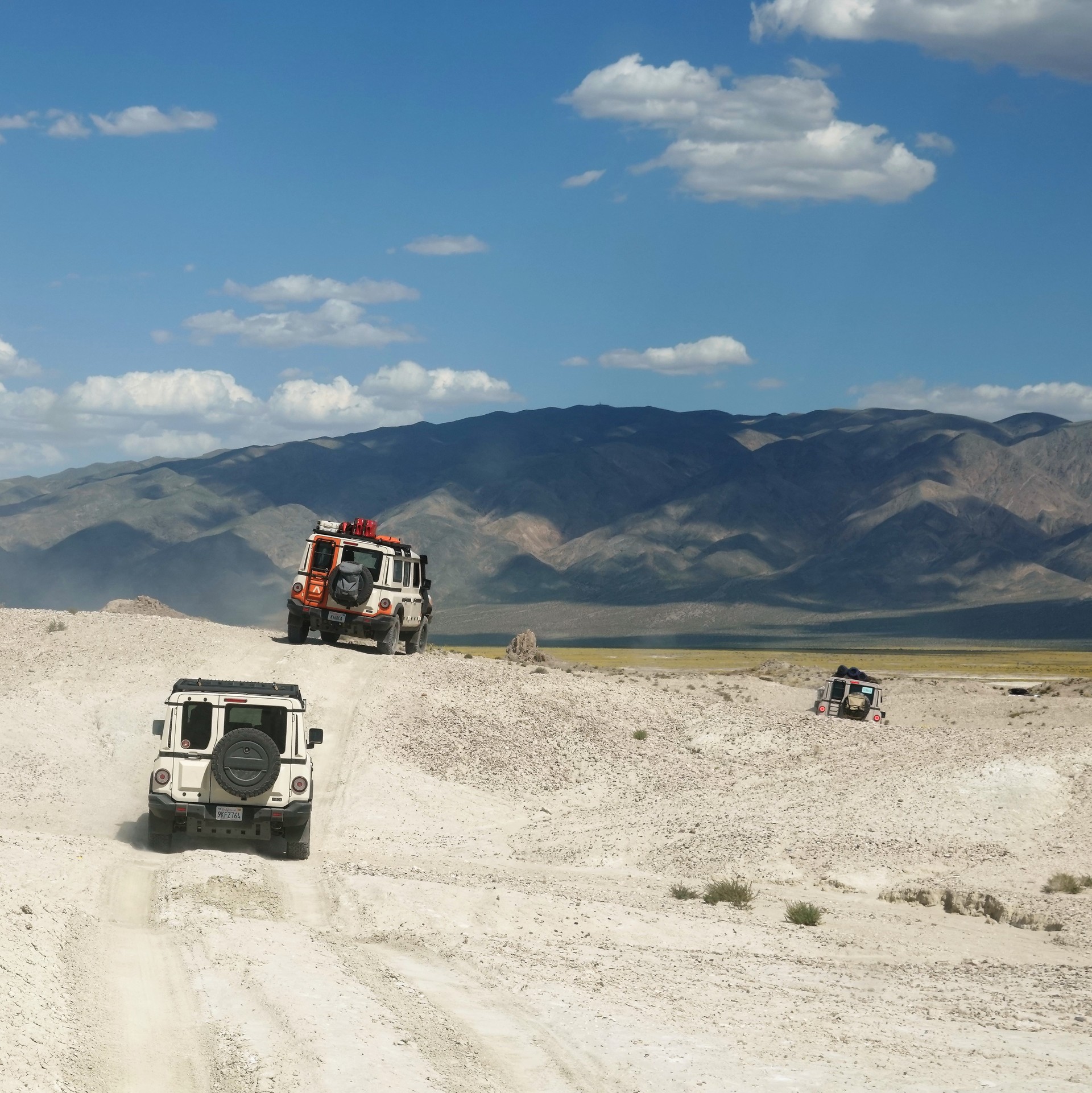
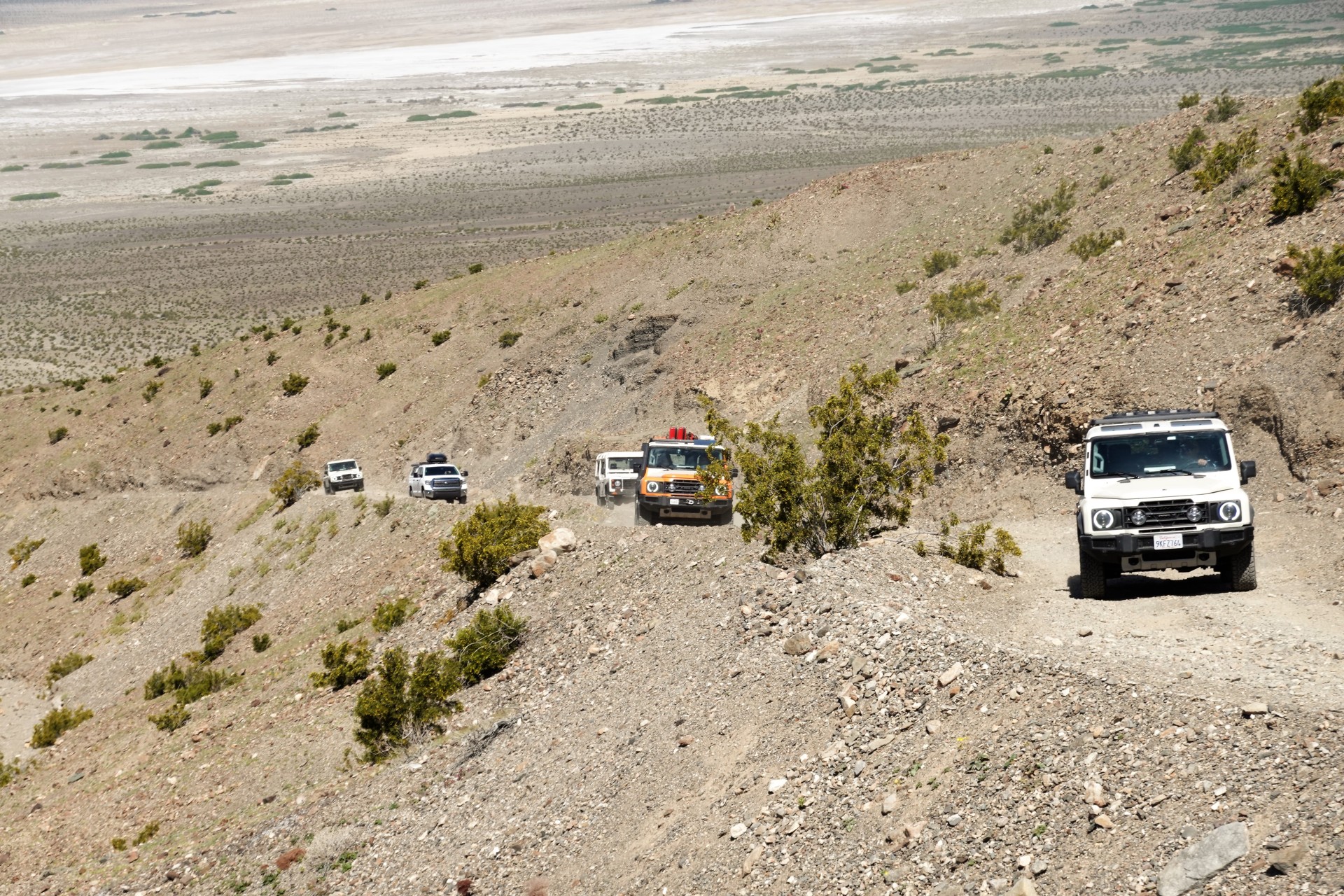
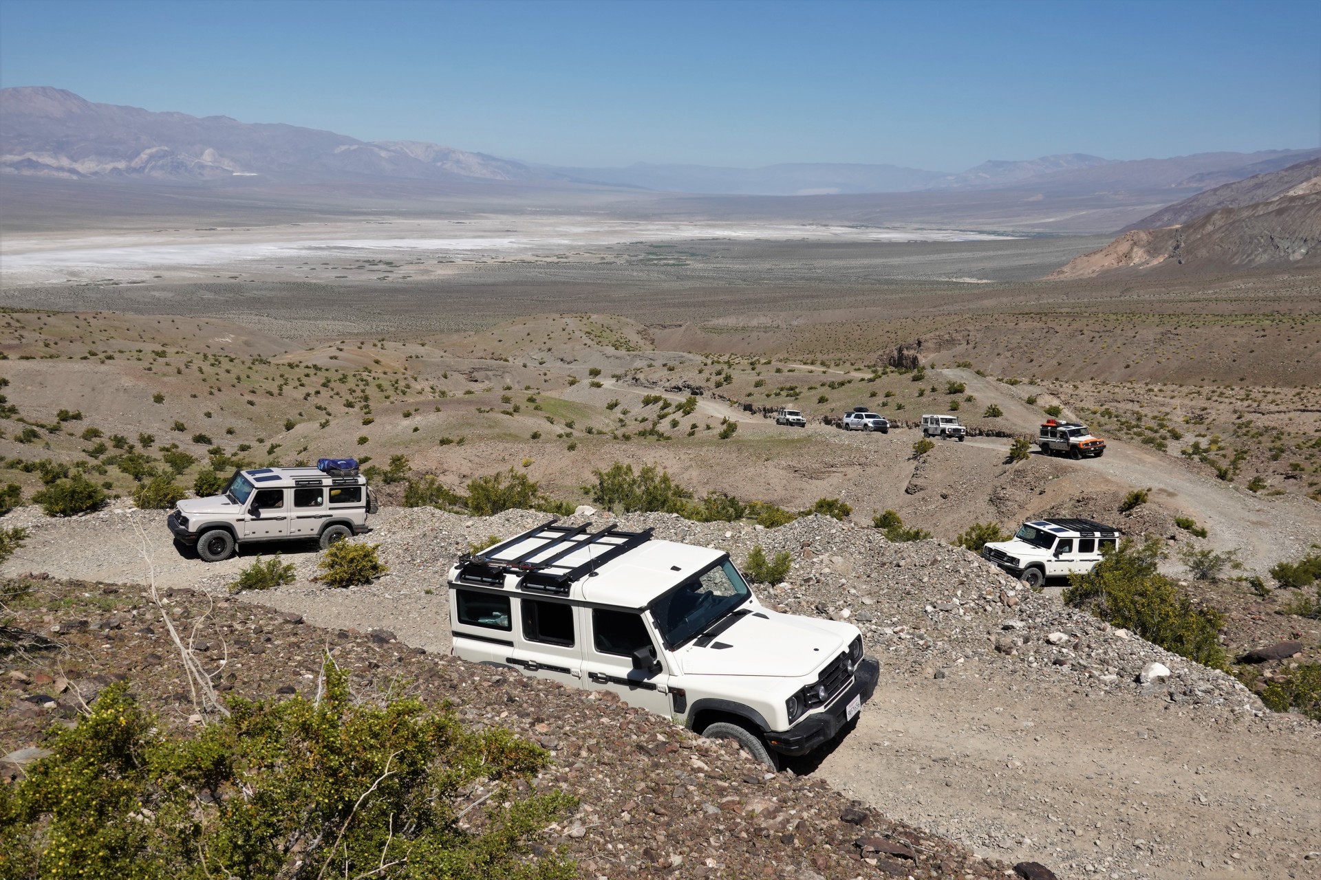
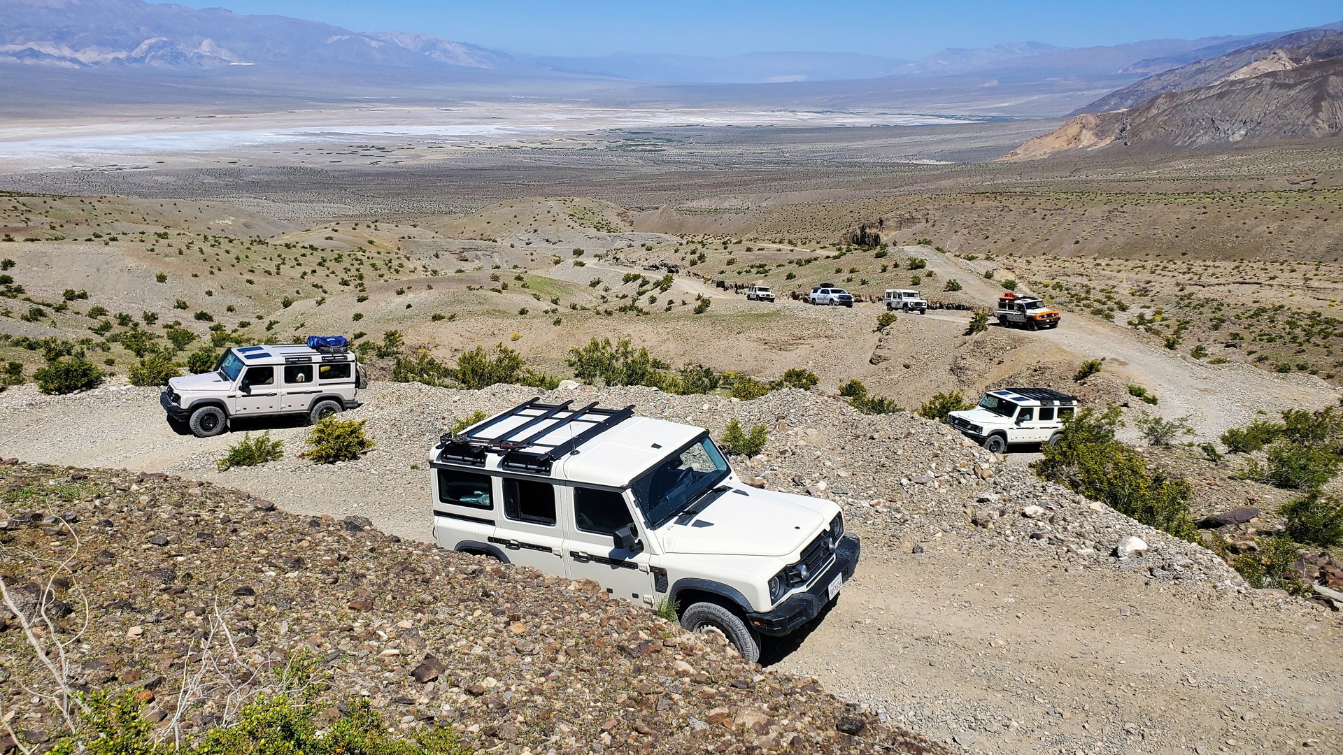
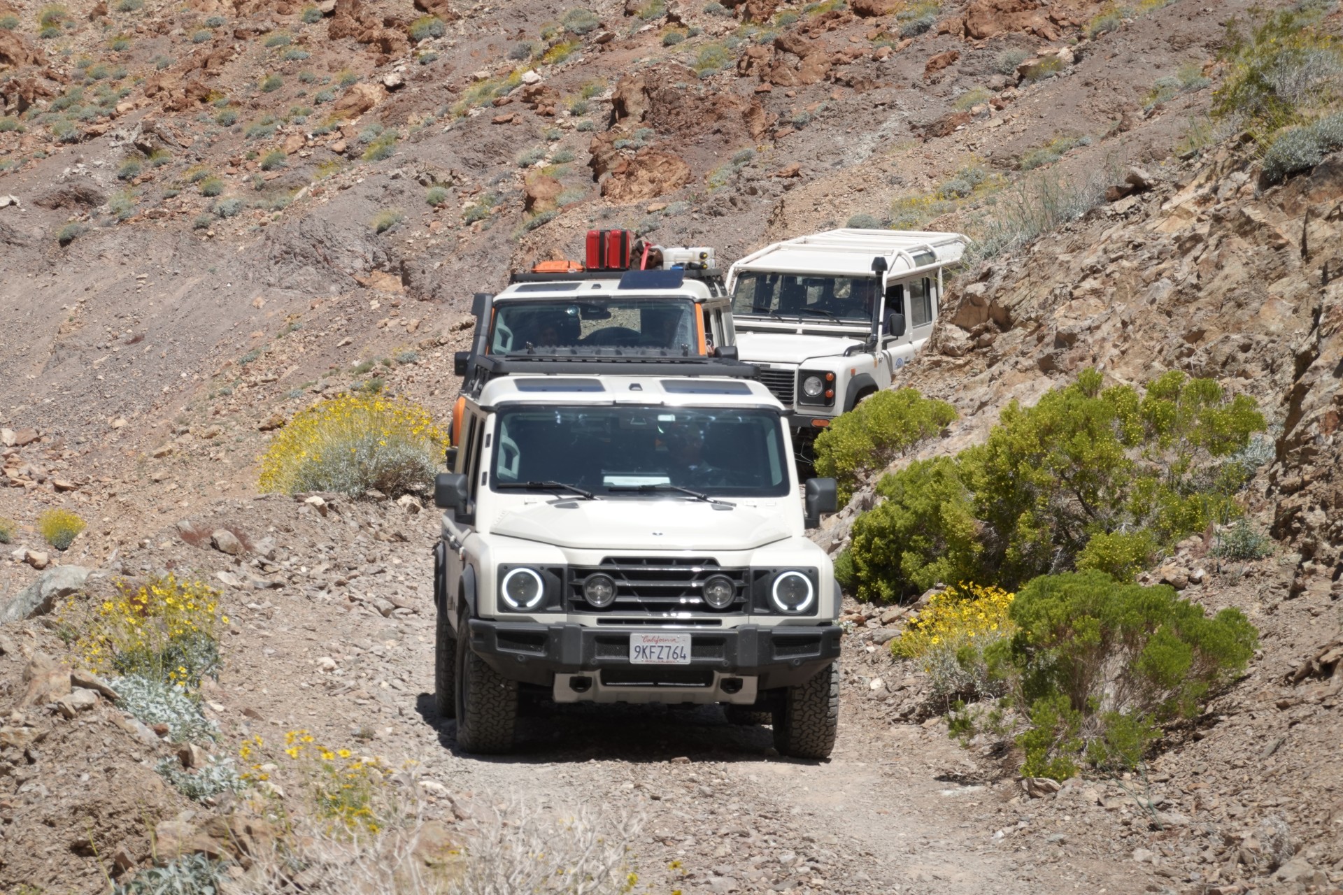
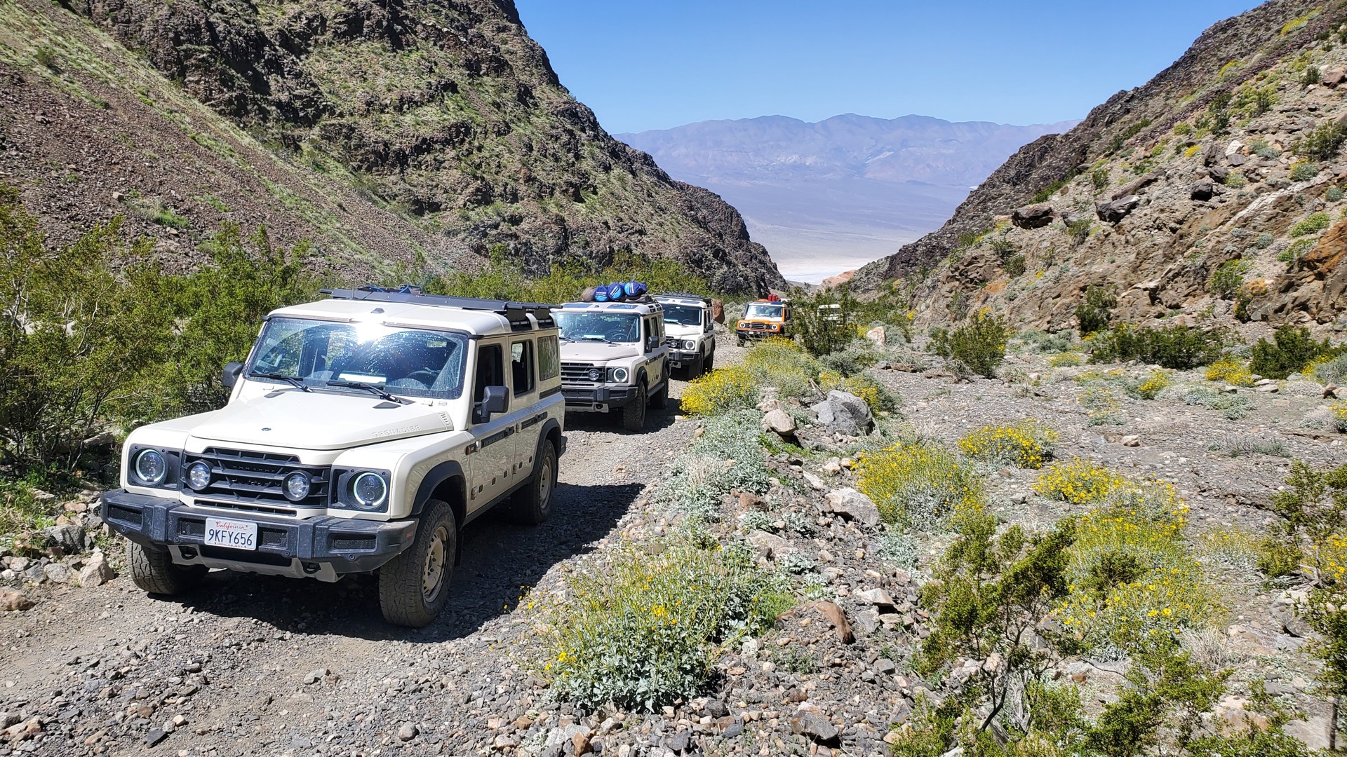
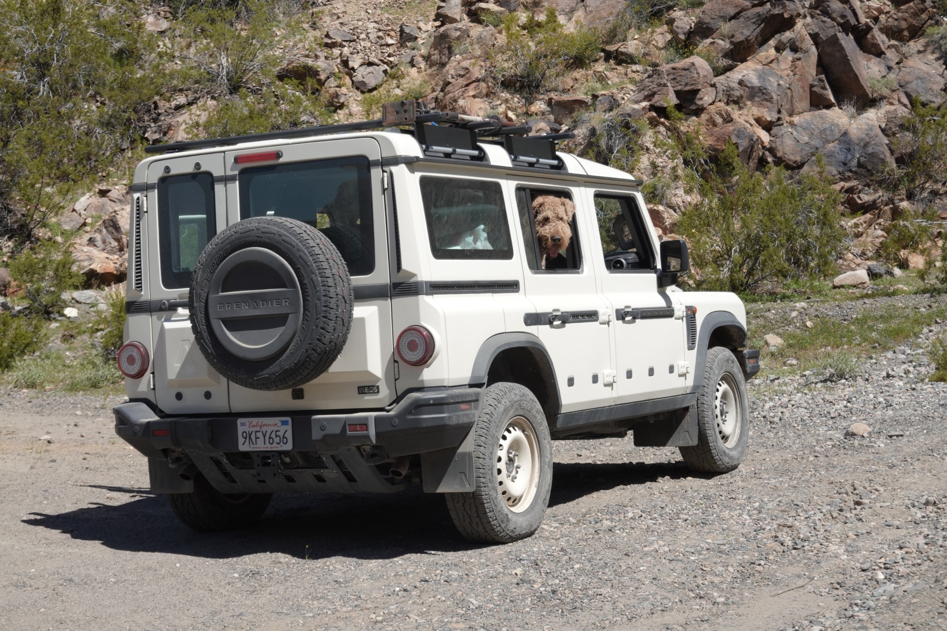
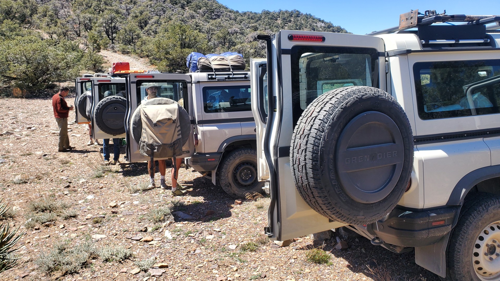
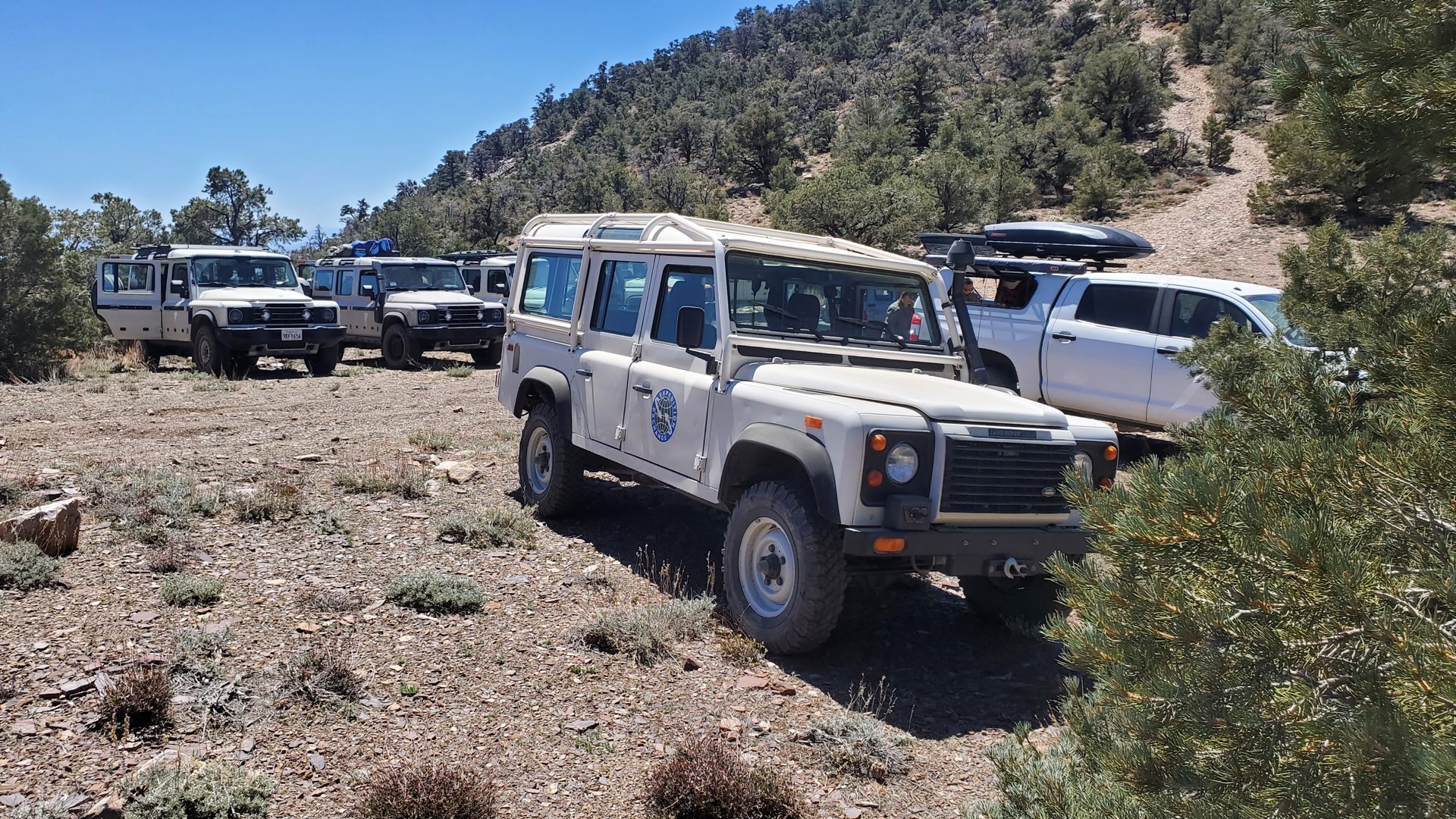
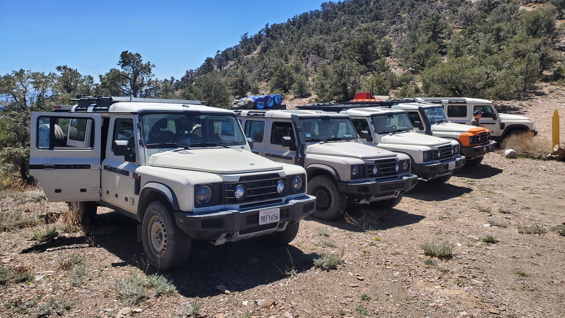
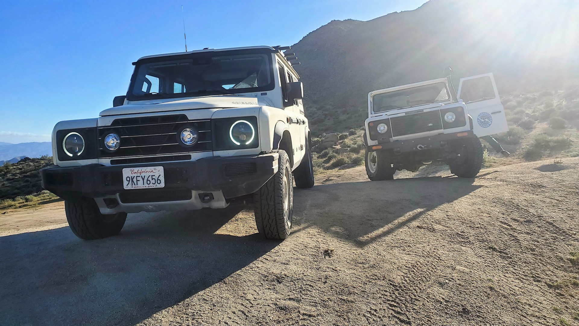
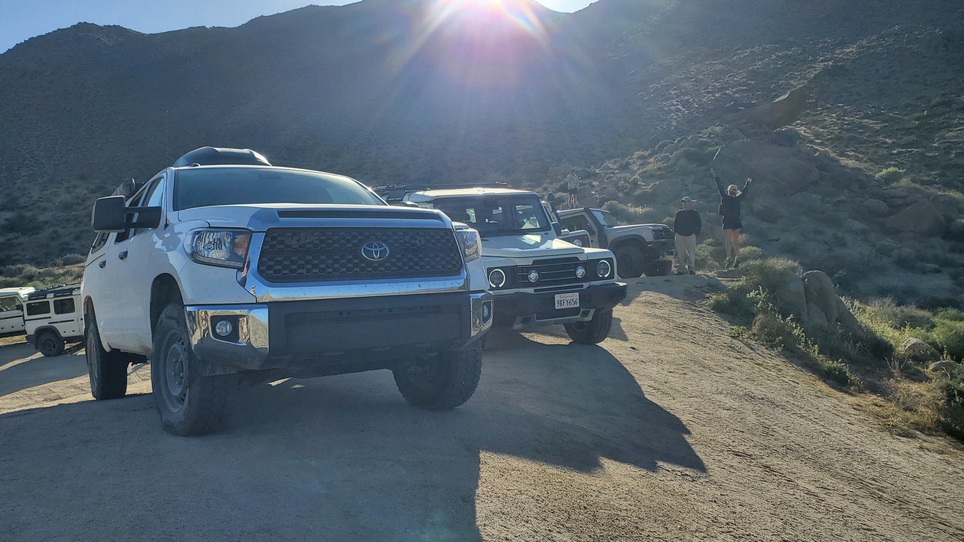
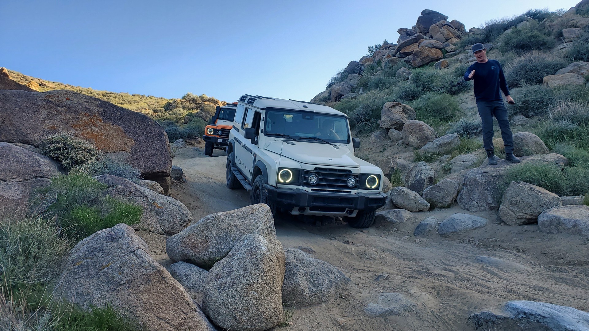
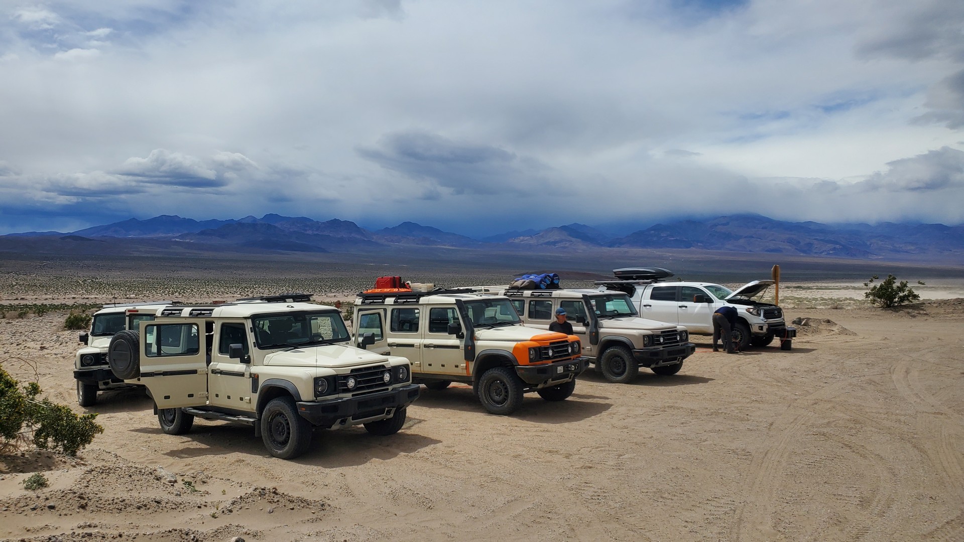
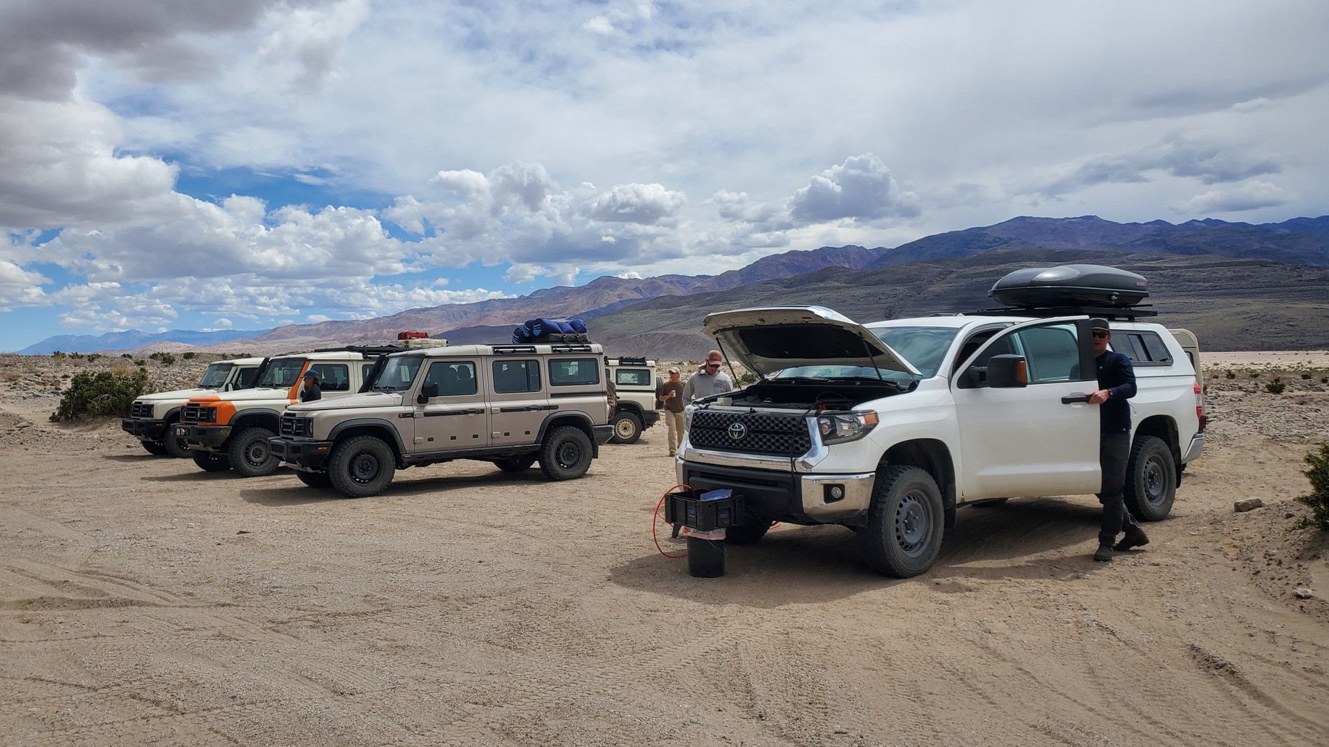
Just on the last trip, barely a year ago, it was the most-diverse group by vehicle choice: the only two close vehicles were short and long wheelbase
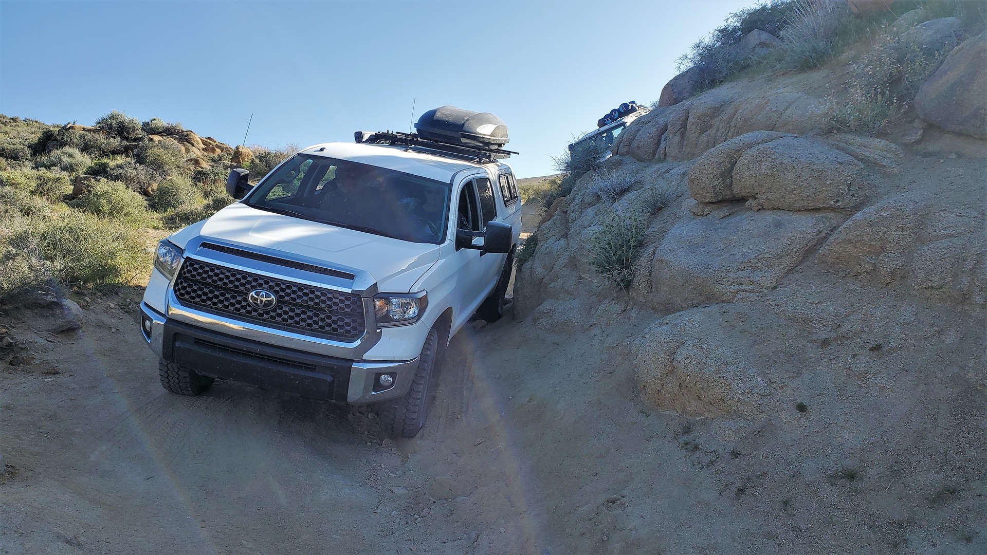
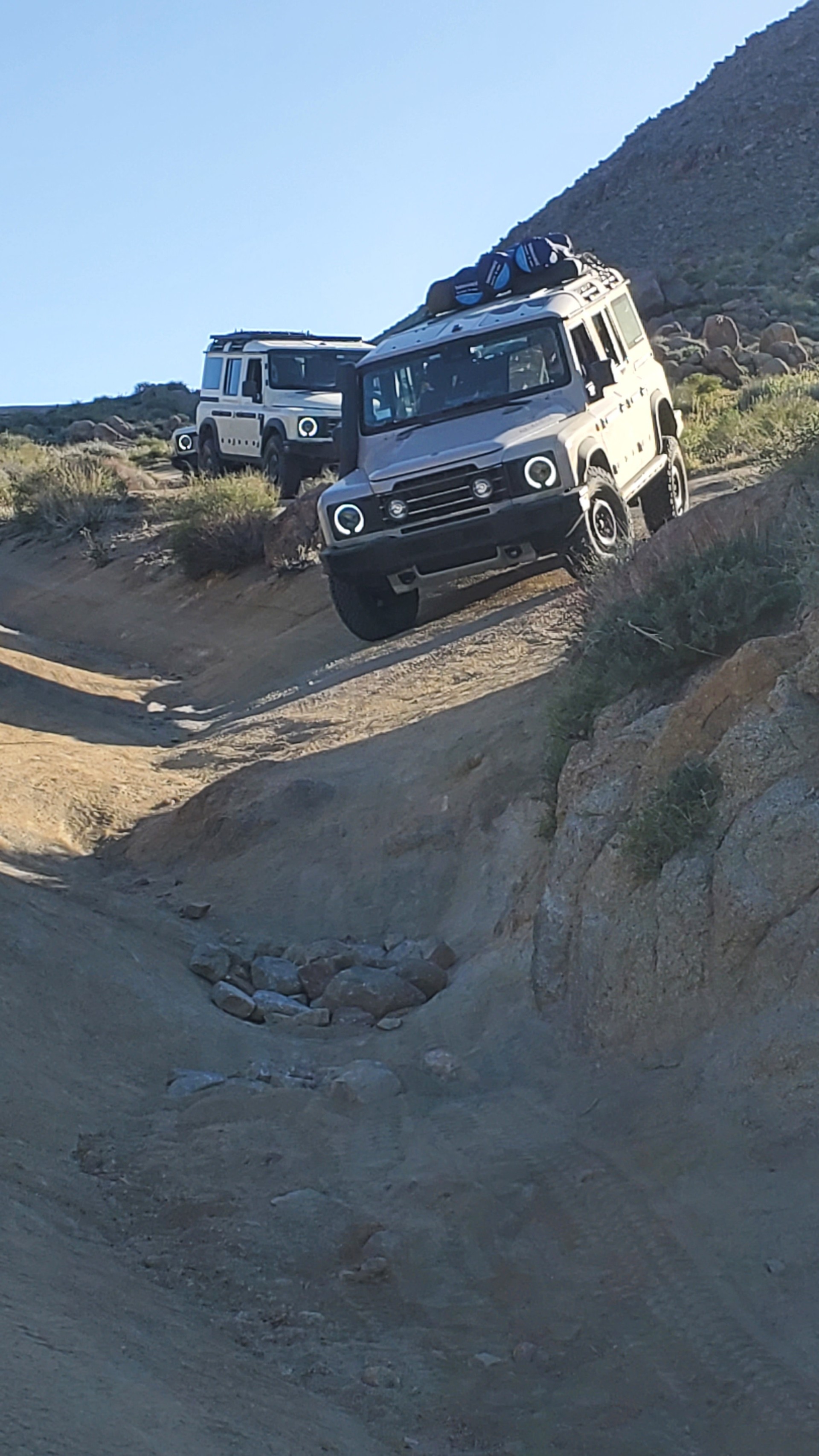
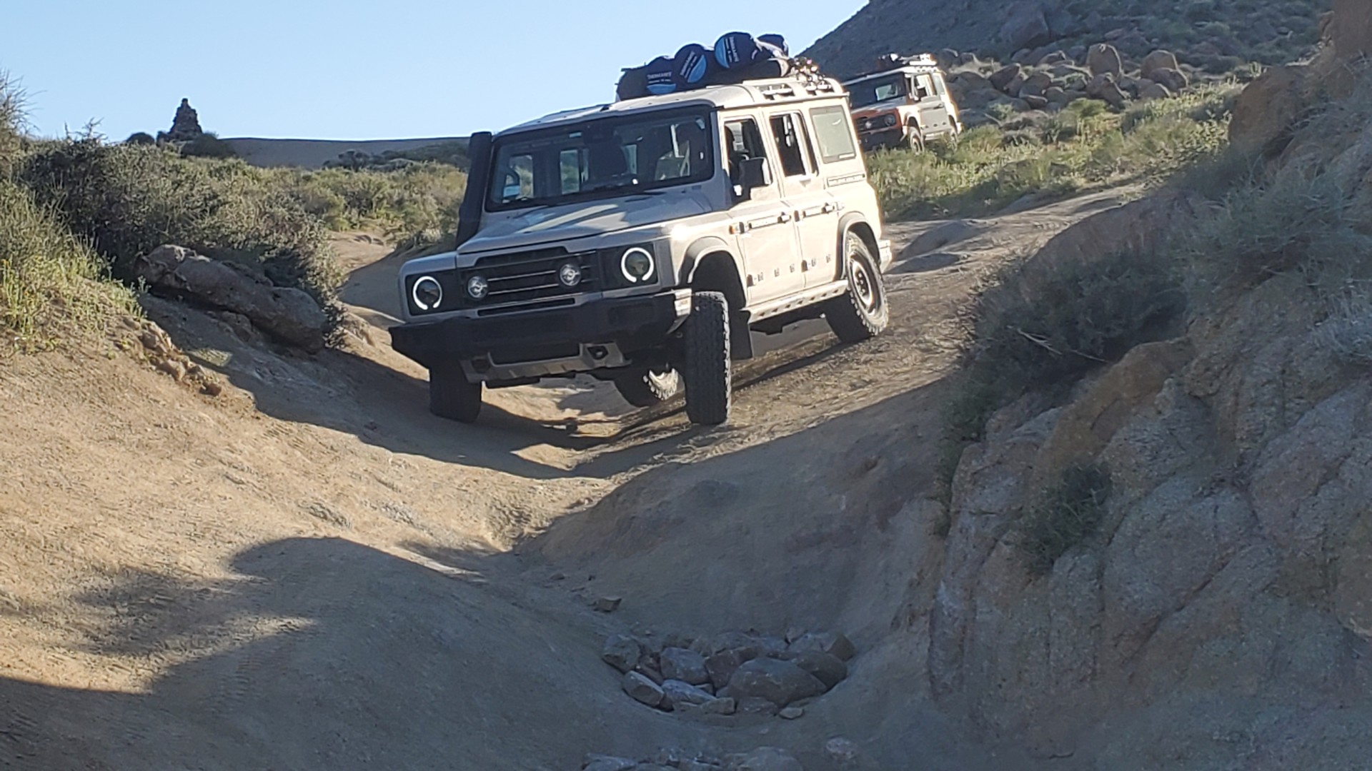
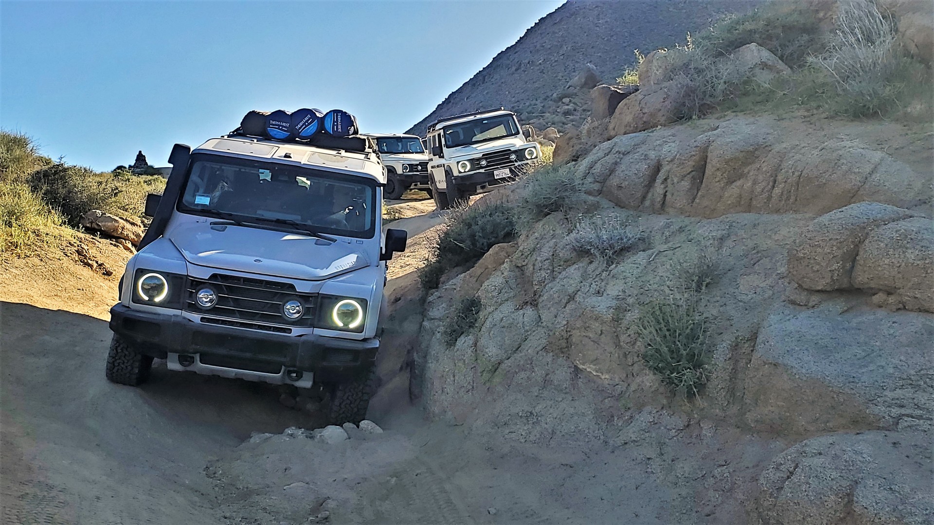
Range Rover Classics. Others - a '93 Defender 110, a Discovery 1, a Land Cruiser, a Tundra, a Gelaendewagen. Now - the same Defender, same Tundra, and ... 5 Ineos Grenadiers.
One can wax lyrical about how immensely great a new Defender is, but these photos show an immediate ~$450k loss of revenue for Land Rover, with a potential to triple
this loss given the age of participants. And that's just one small group of friends.
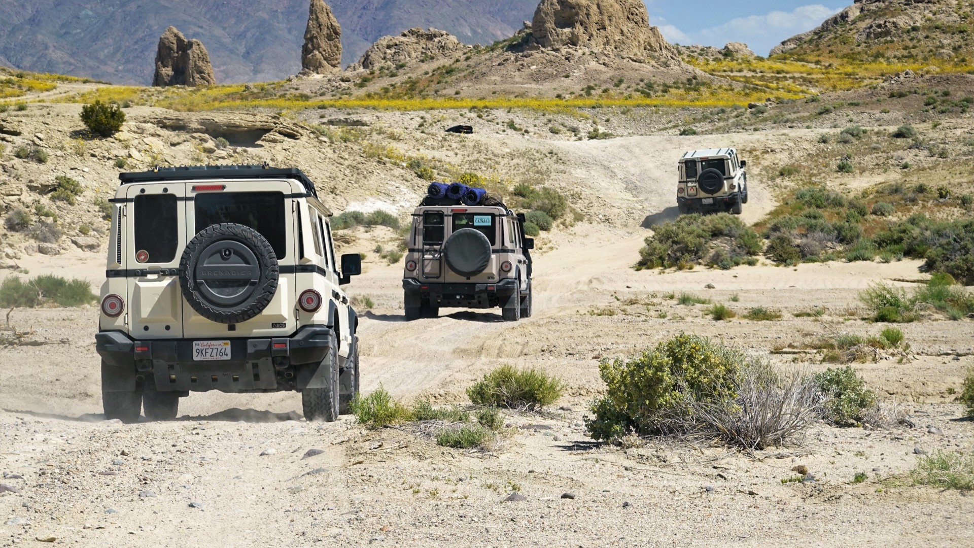
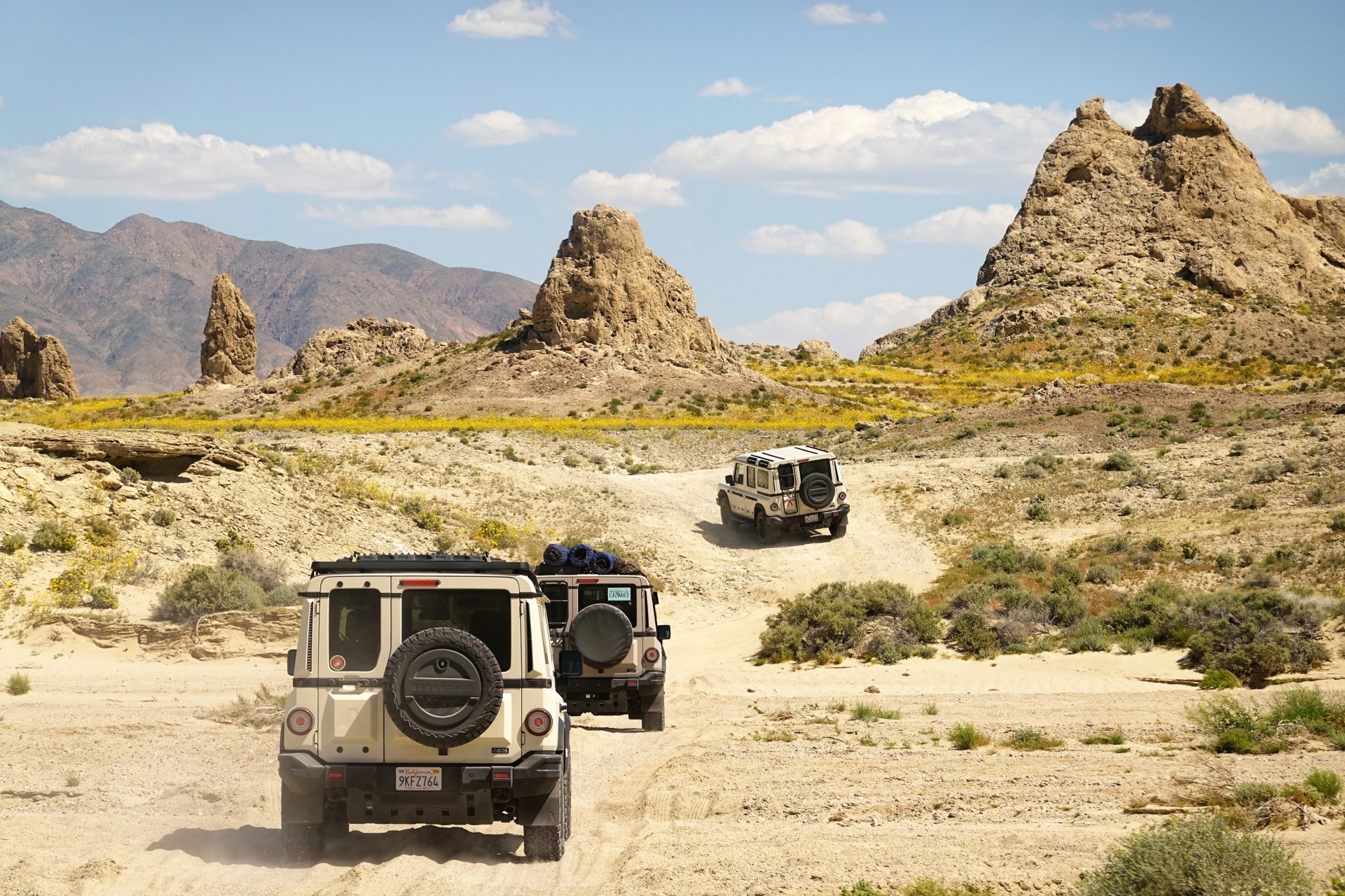
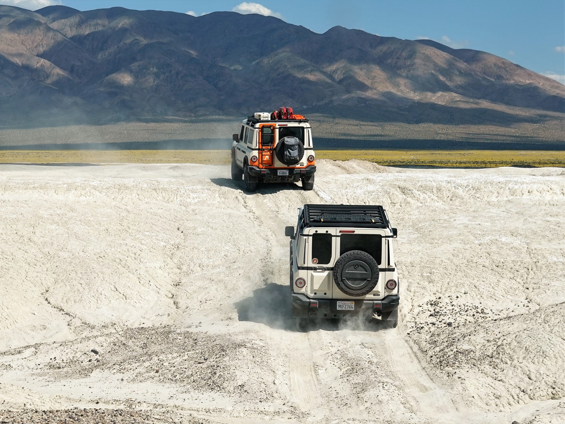
We have our drinks and burgers, and take off on a short pavement run to Trona Pinnacles.
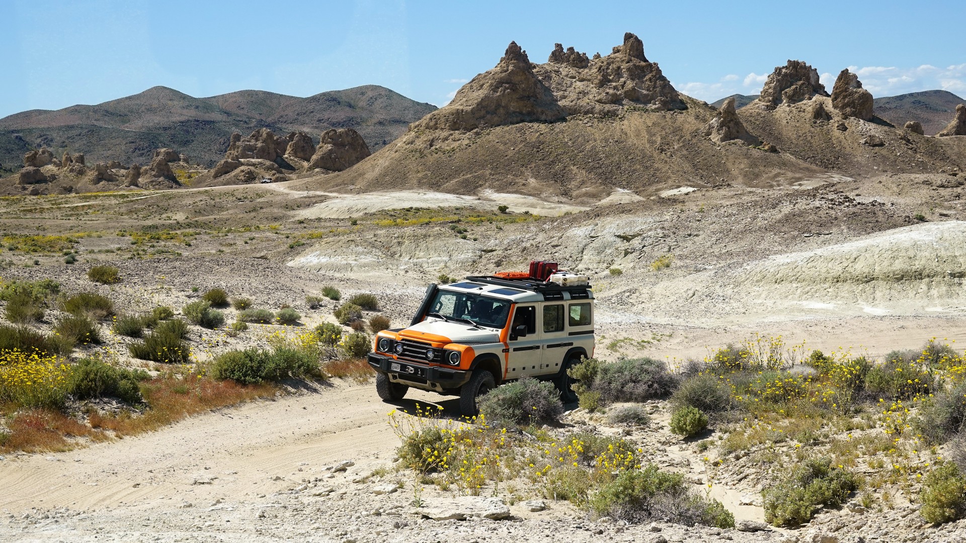
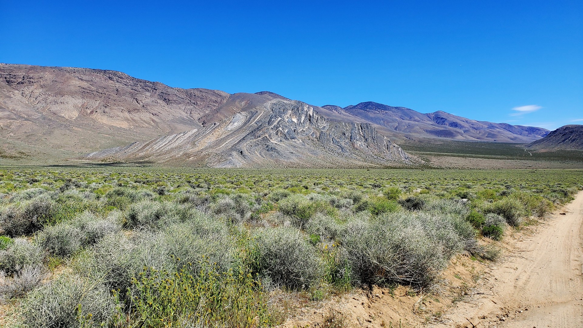
Mojave Desert: Trona Pinnacles
We didn't stay very long in the Pinnacles. It was too early to camp, so we drove around in a convoy for a few minutes, found the
less-used side road back to pavement, topped off the gas tanks in Trona, and went on to Nadeau Trail.
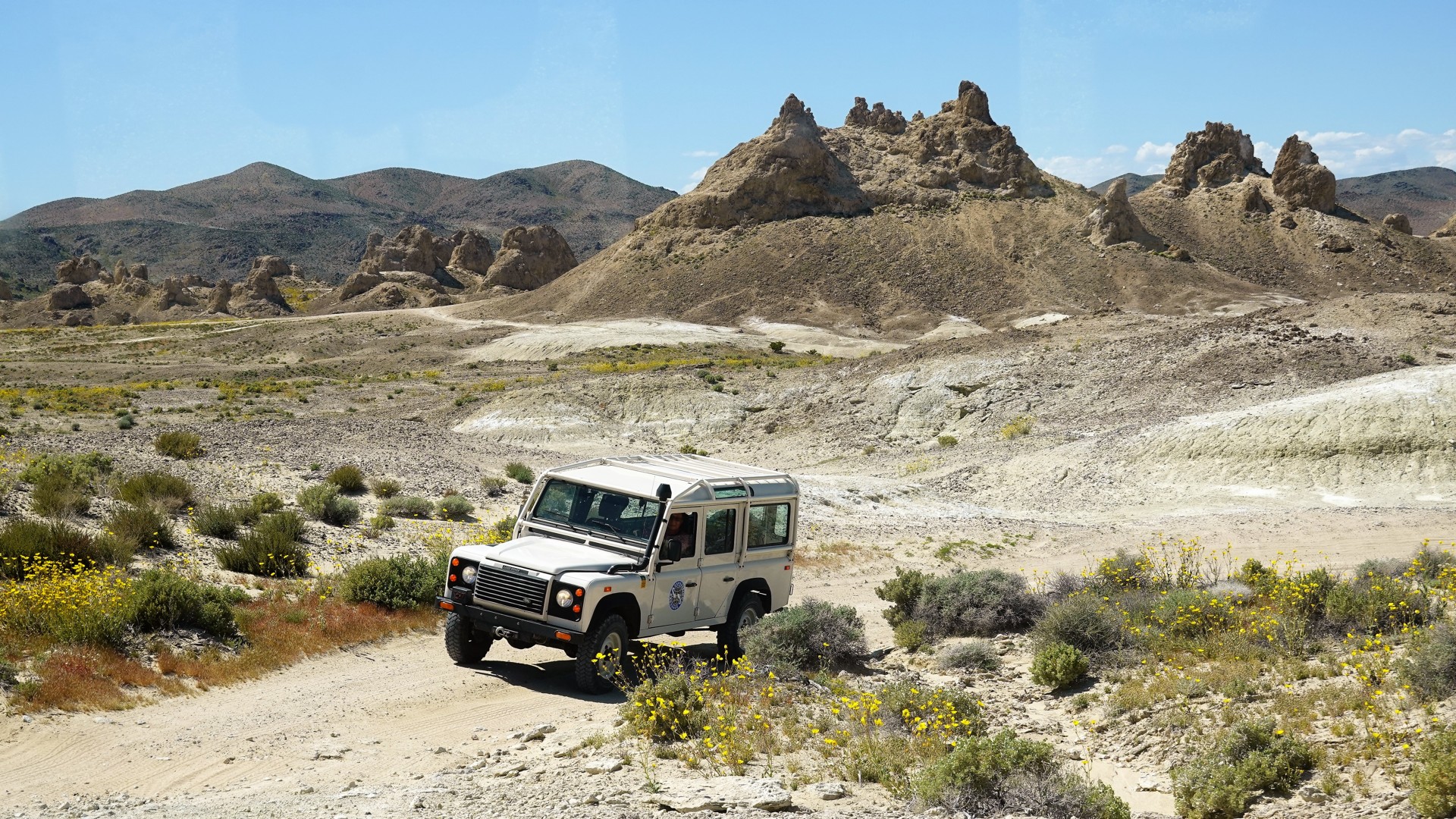
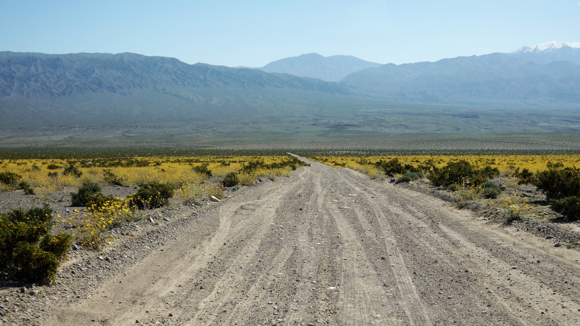
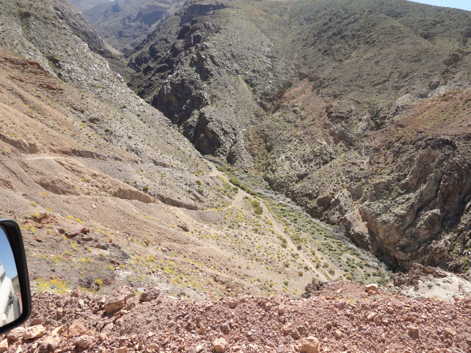
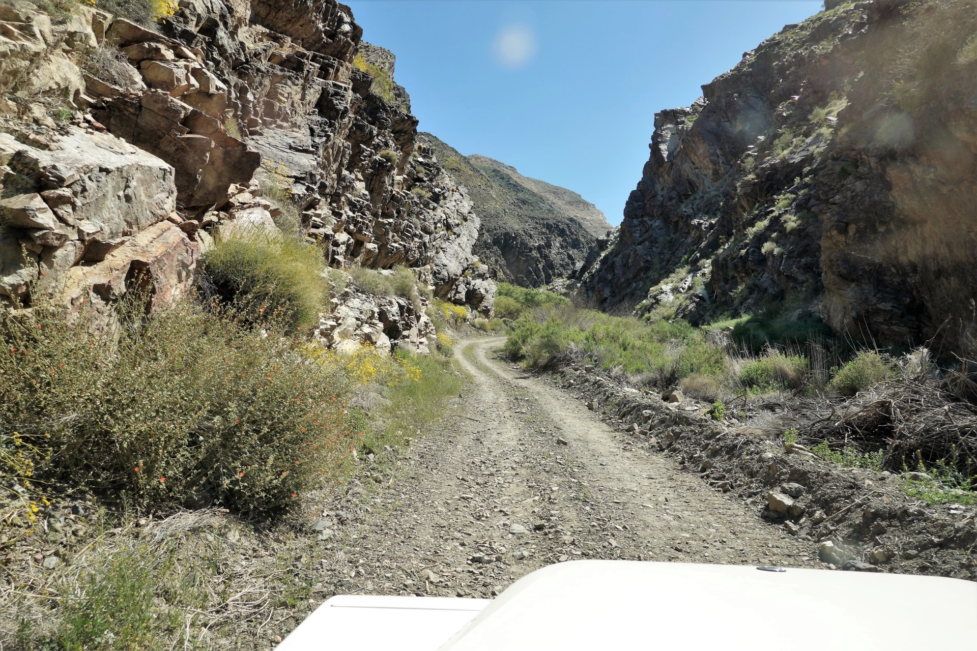
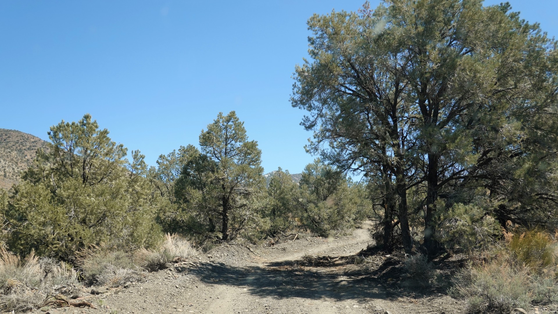
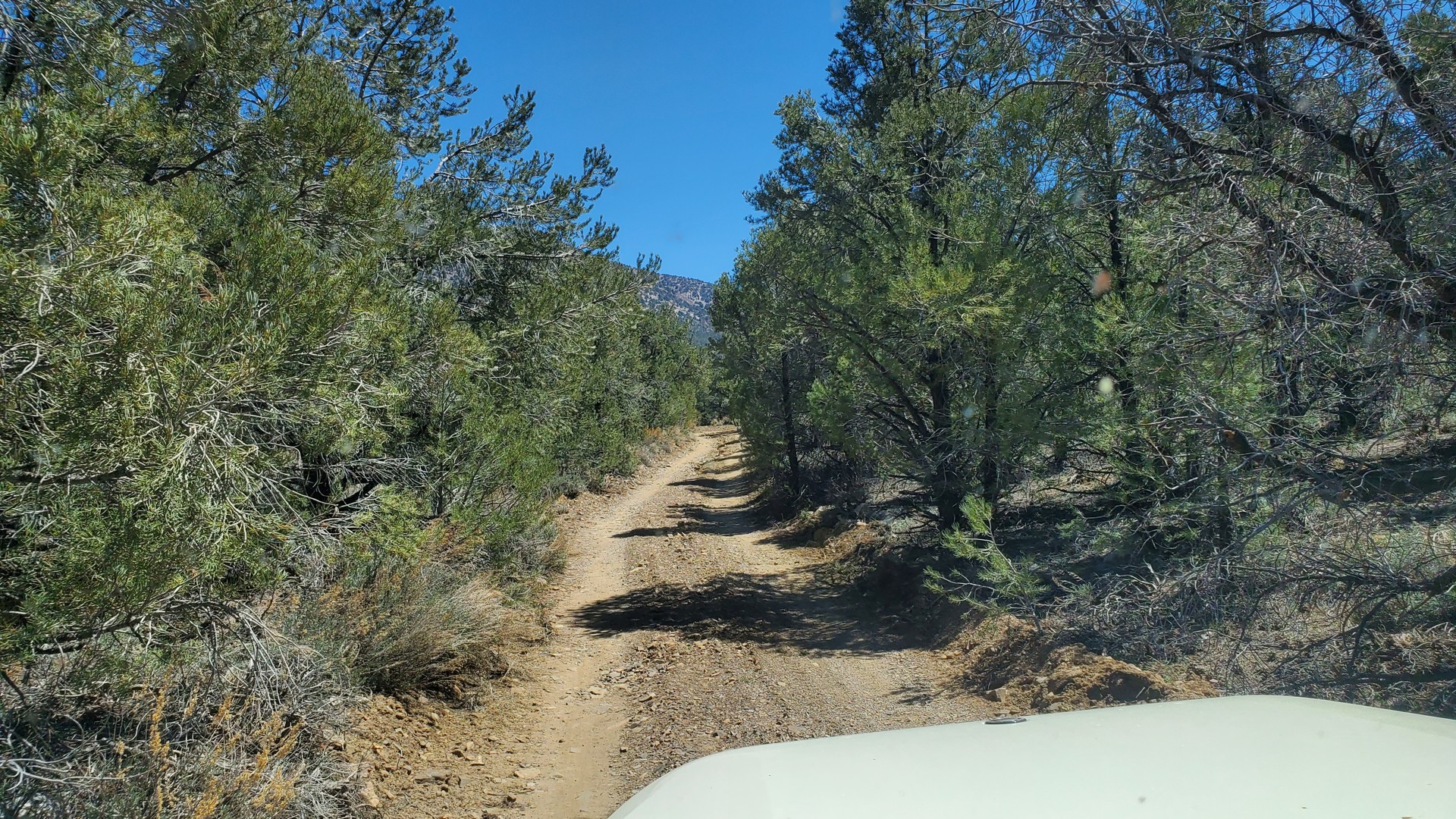
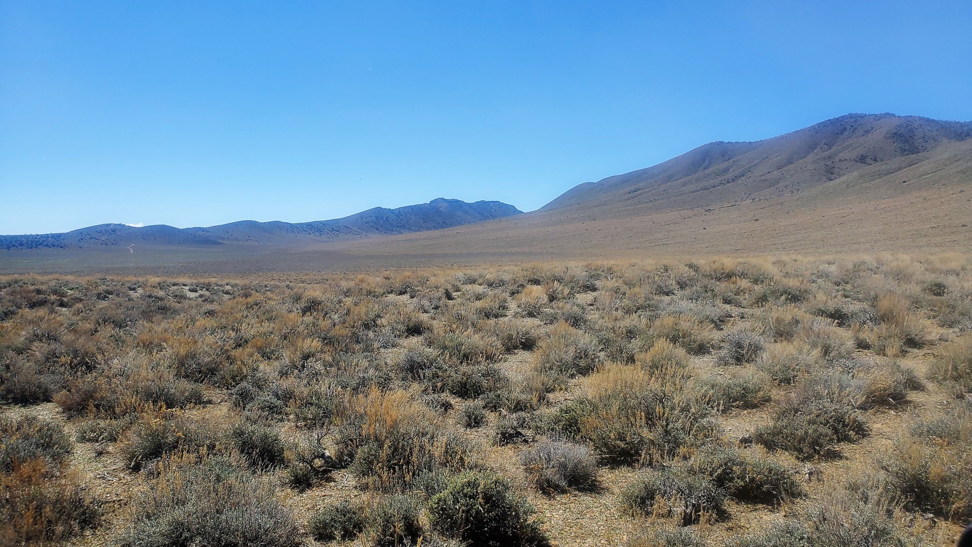
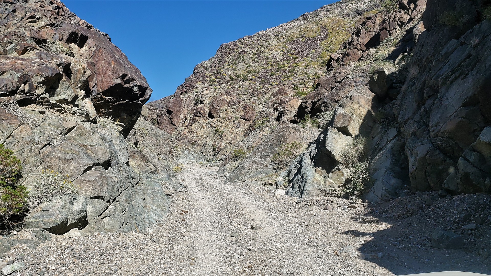
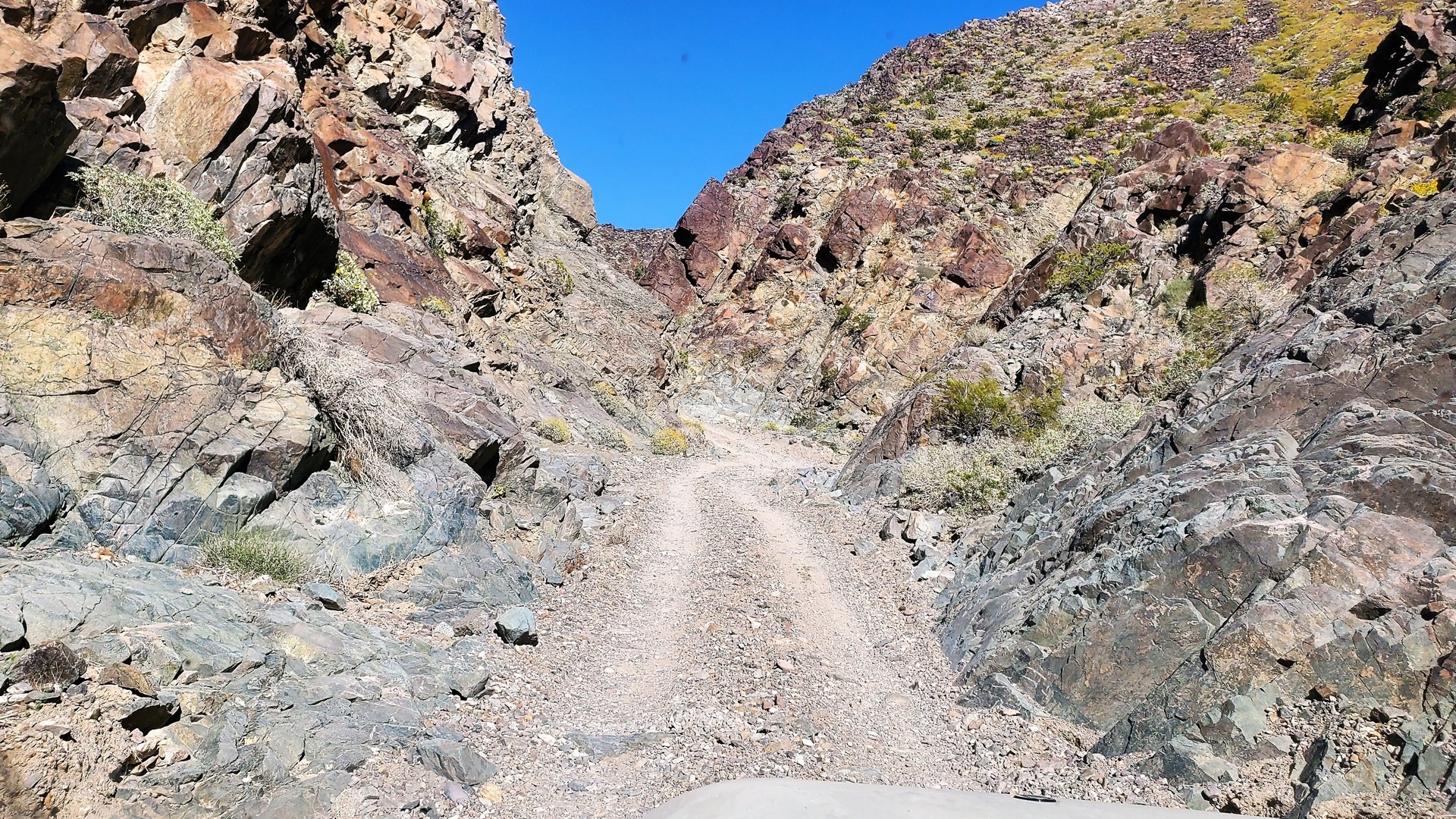
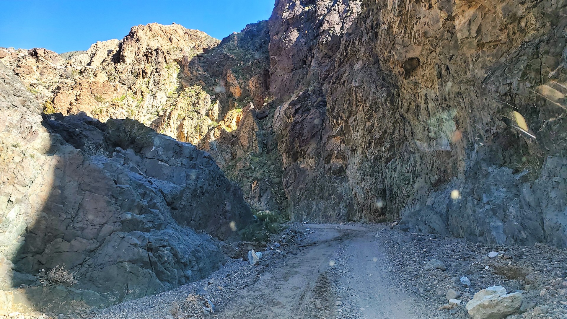
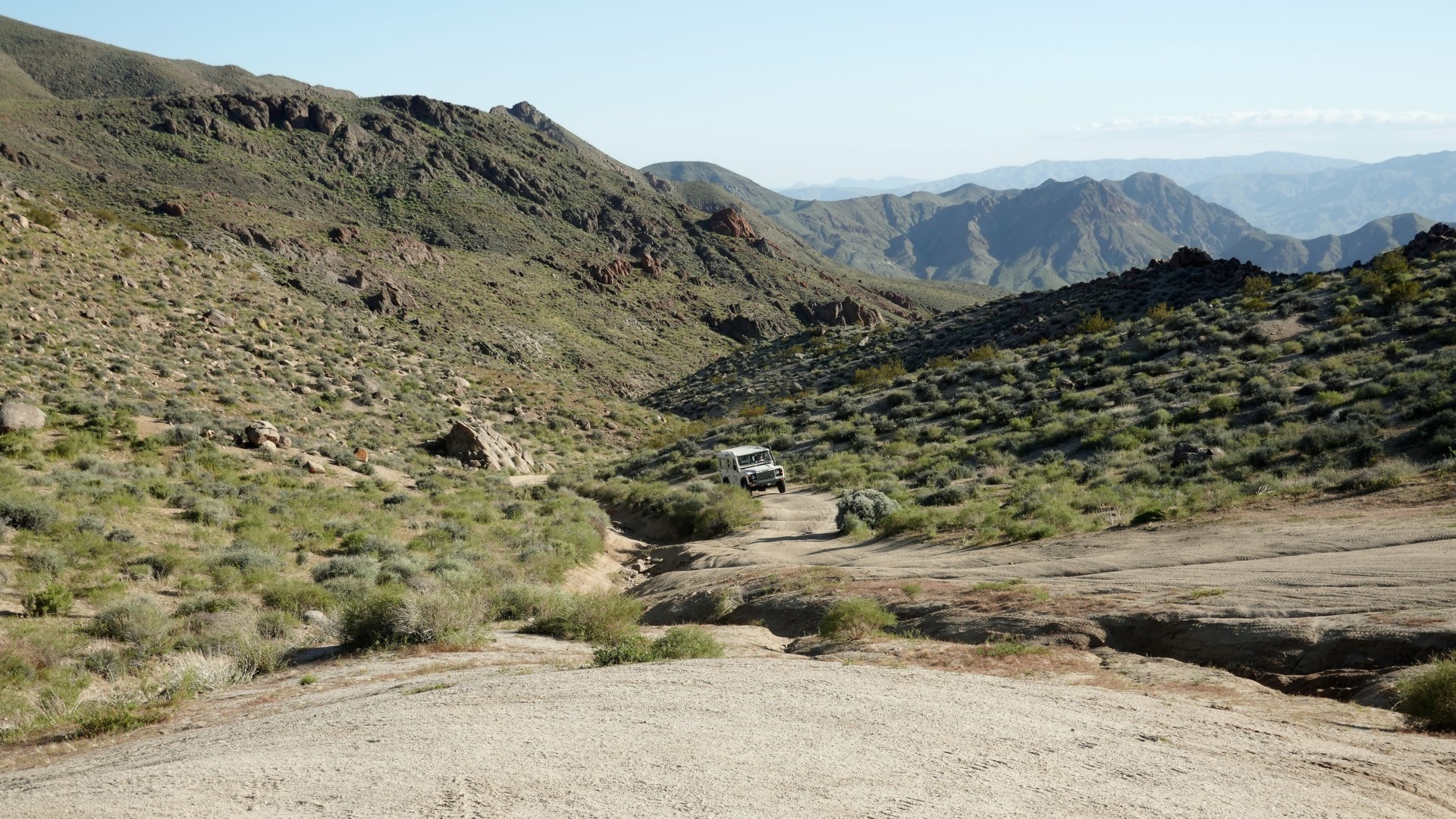
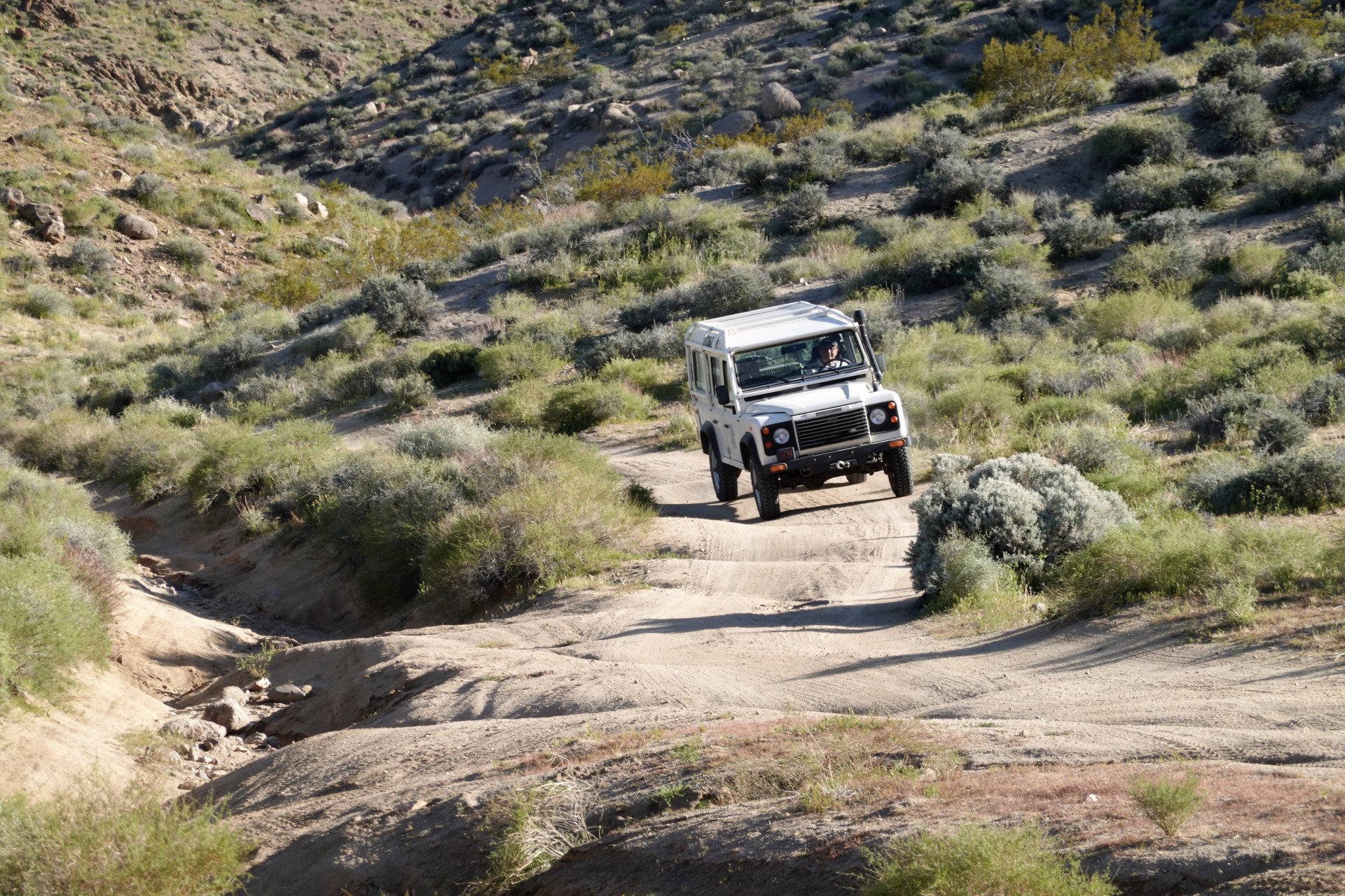
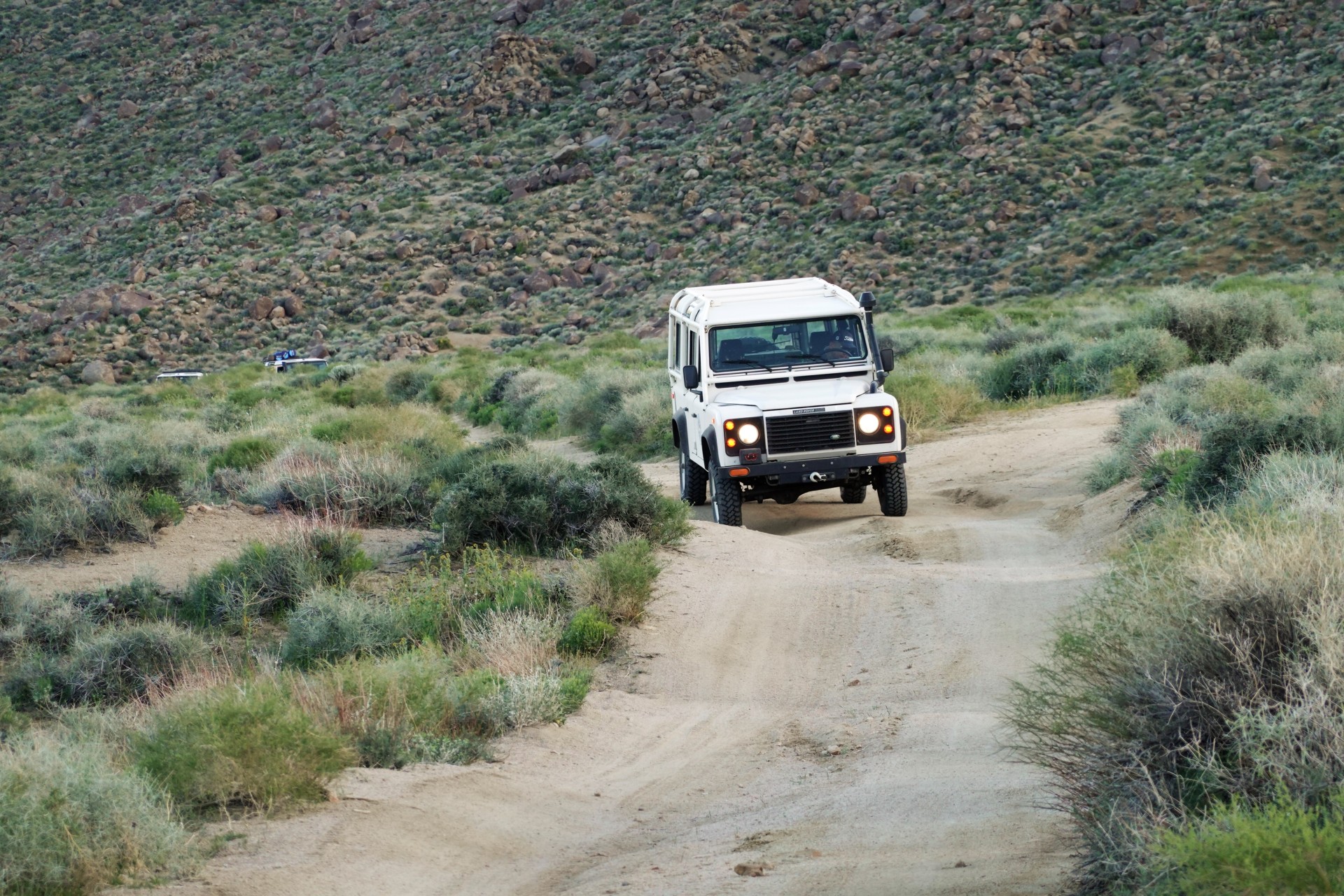
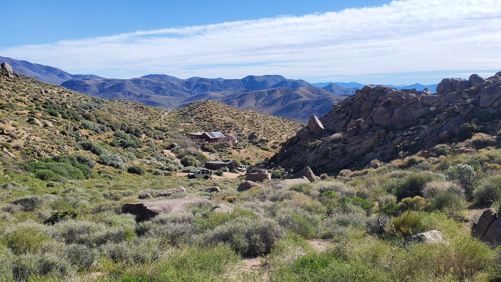
Nadeau Trail to Thompson Canyon
To be honest, we weren't looking
for a considerable off-pavement trip - Nadeau Trail started as a paved but beat-up Nadeau Road, and by the time we reached the mine,
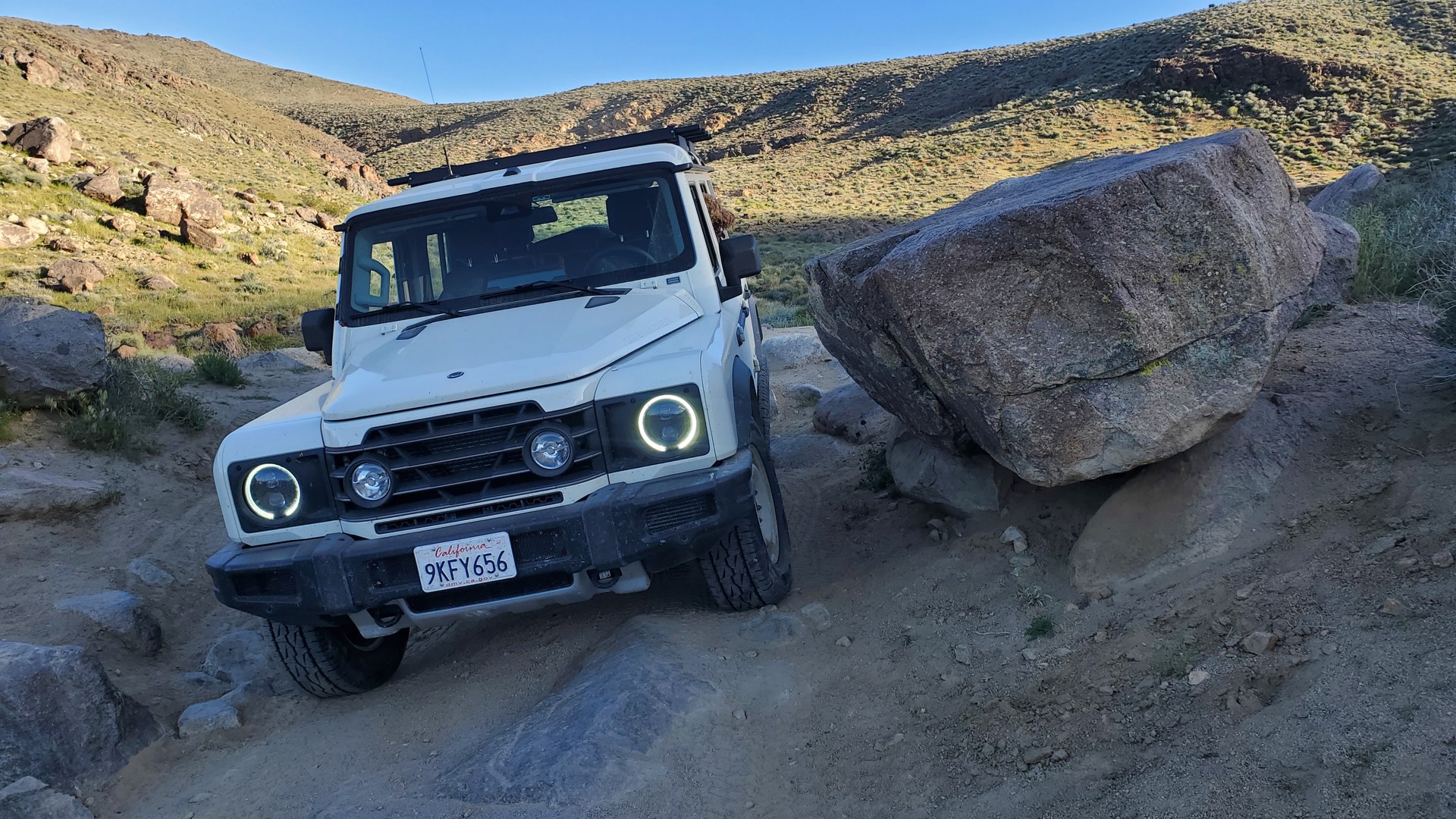
we had to turn off to the Nadeau Trail proper - crossing multiple alluvial fans with deep ravines, steep descents and hillclimbs.
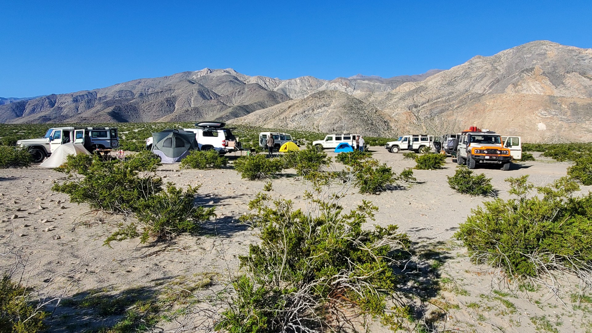
After a brief but thorough walk-through of Minnietta Cabin and its surroundings, we decided to descend
to the bottom of Thompson Canyon and enjoy a wide, flat, camping area with soft dirt for the tent campers.
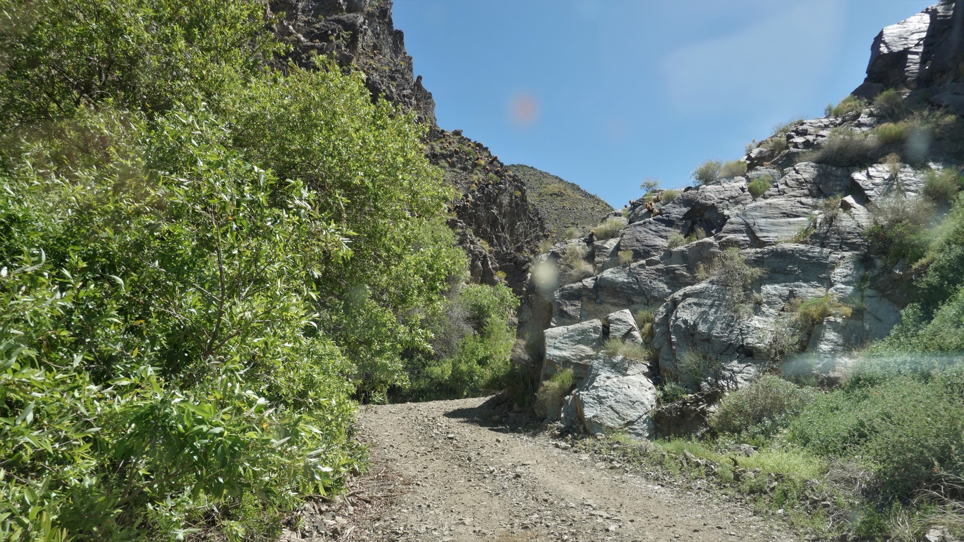
Ballarat to Pleasant Canyon
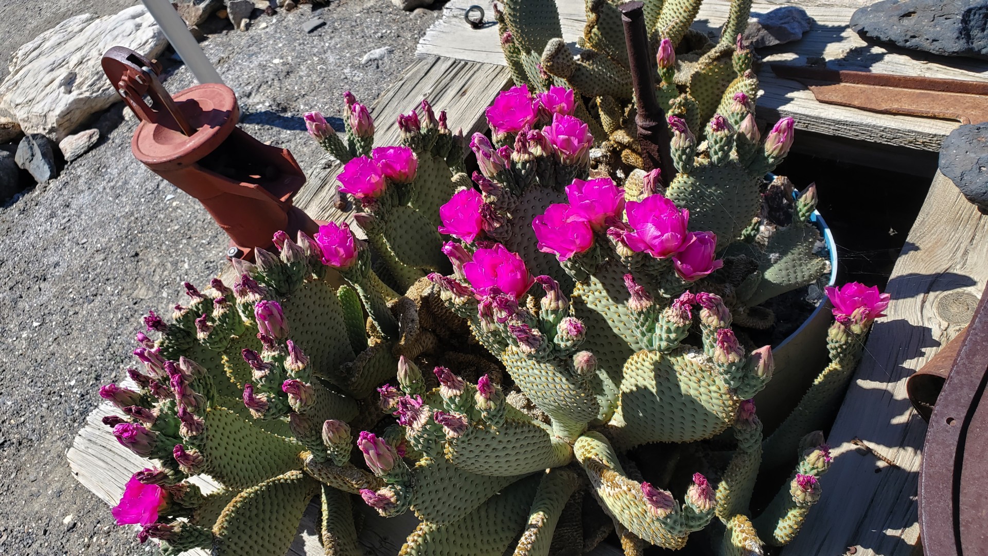
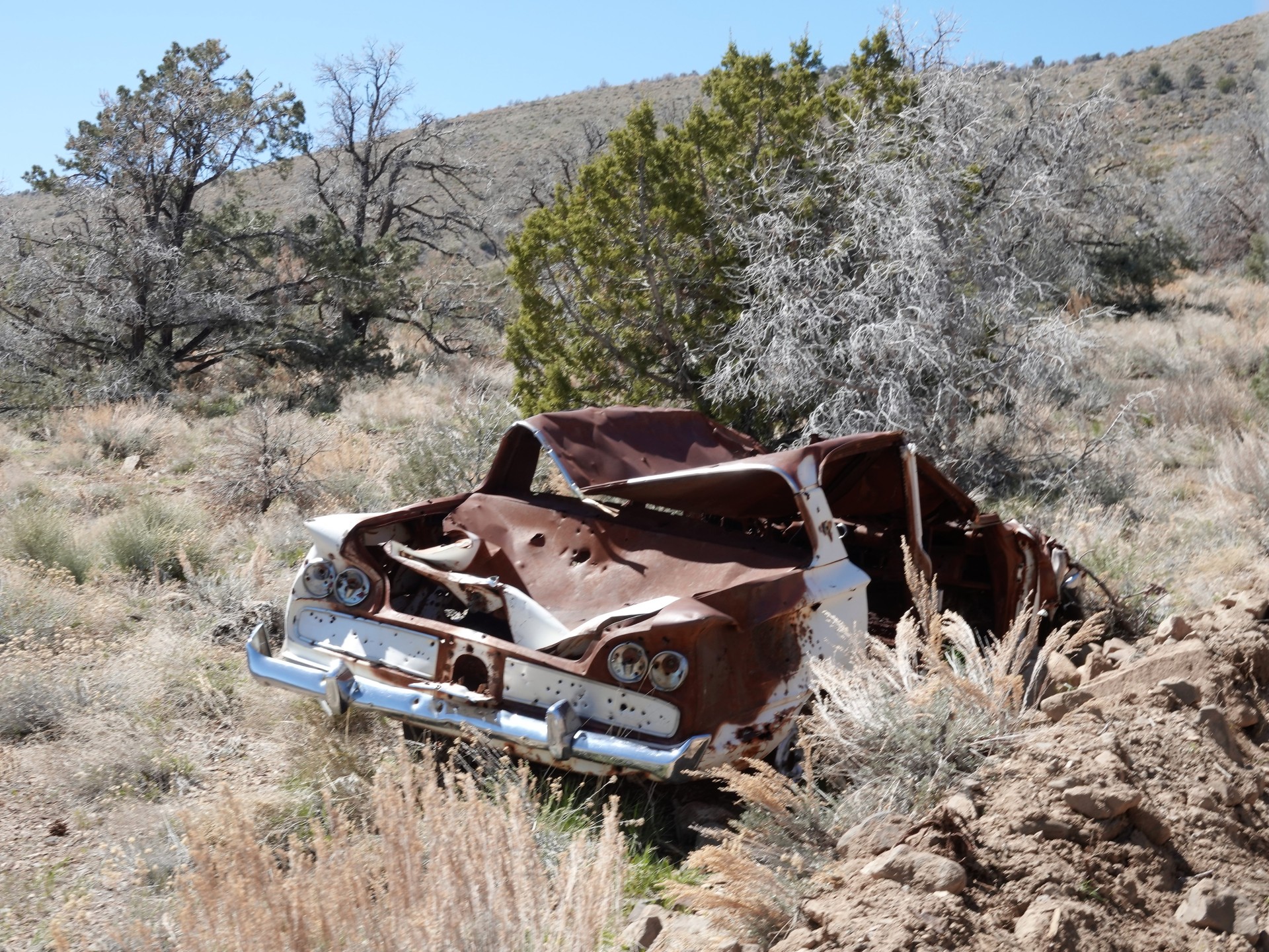
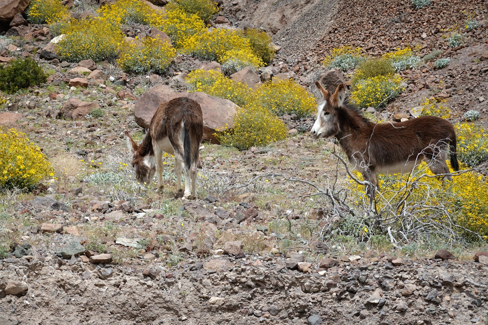
Next morning, we made a quick run to whatever's left in Ballarat - kids enjoyed a little sight-seeing including a maybe Charles Manson's old truck.
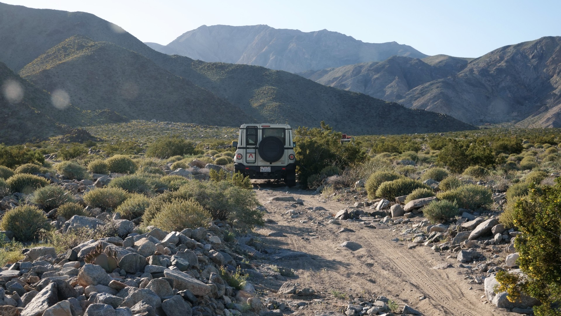
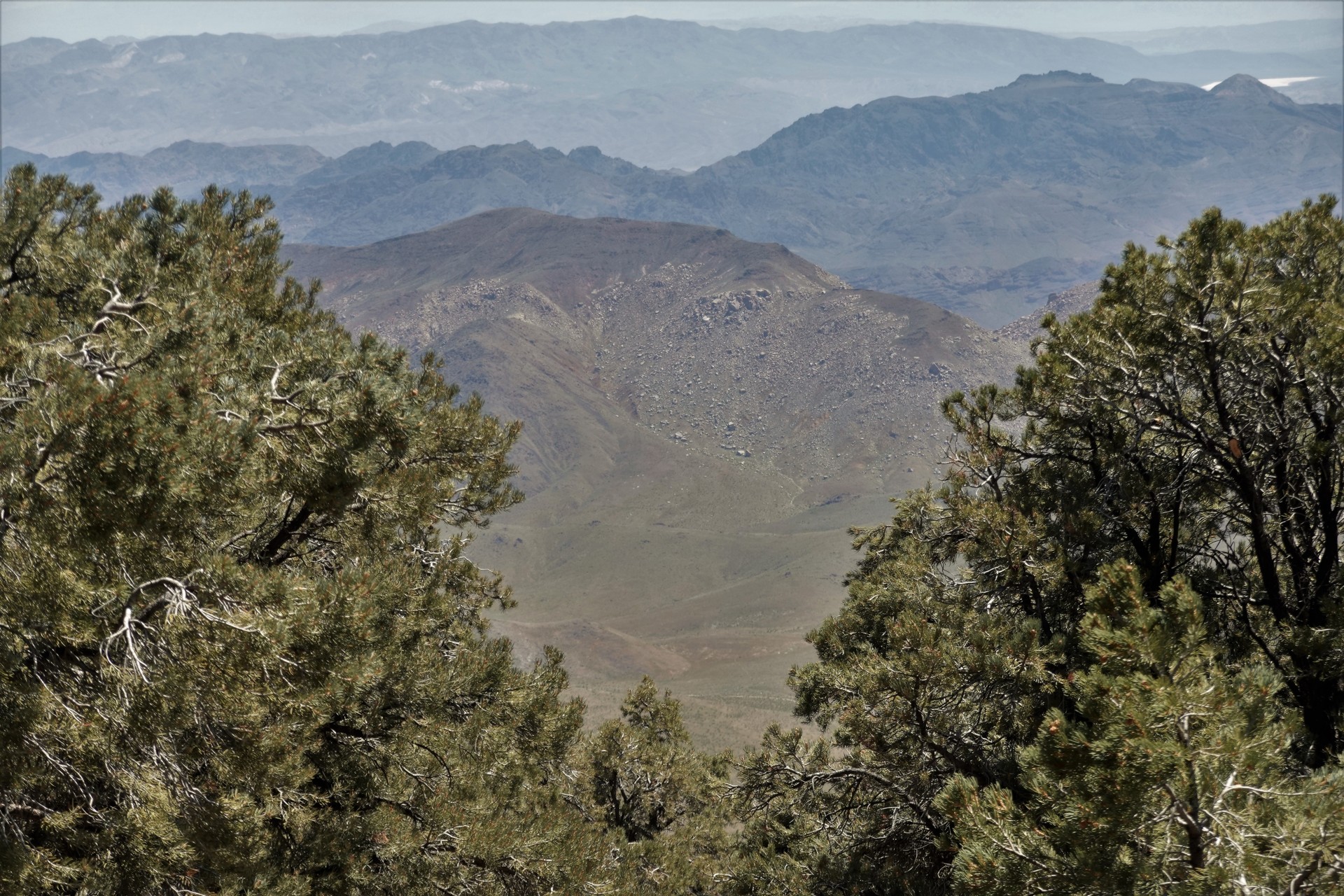
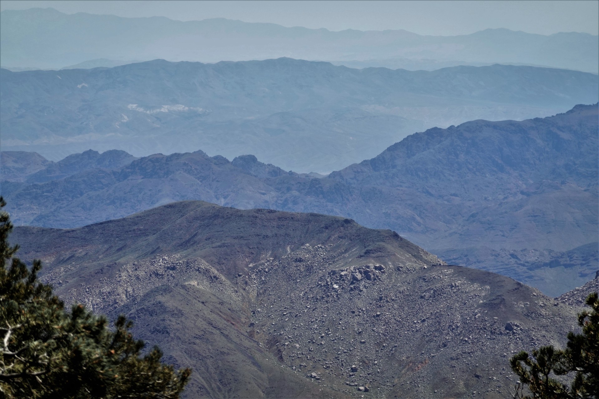
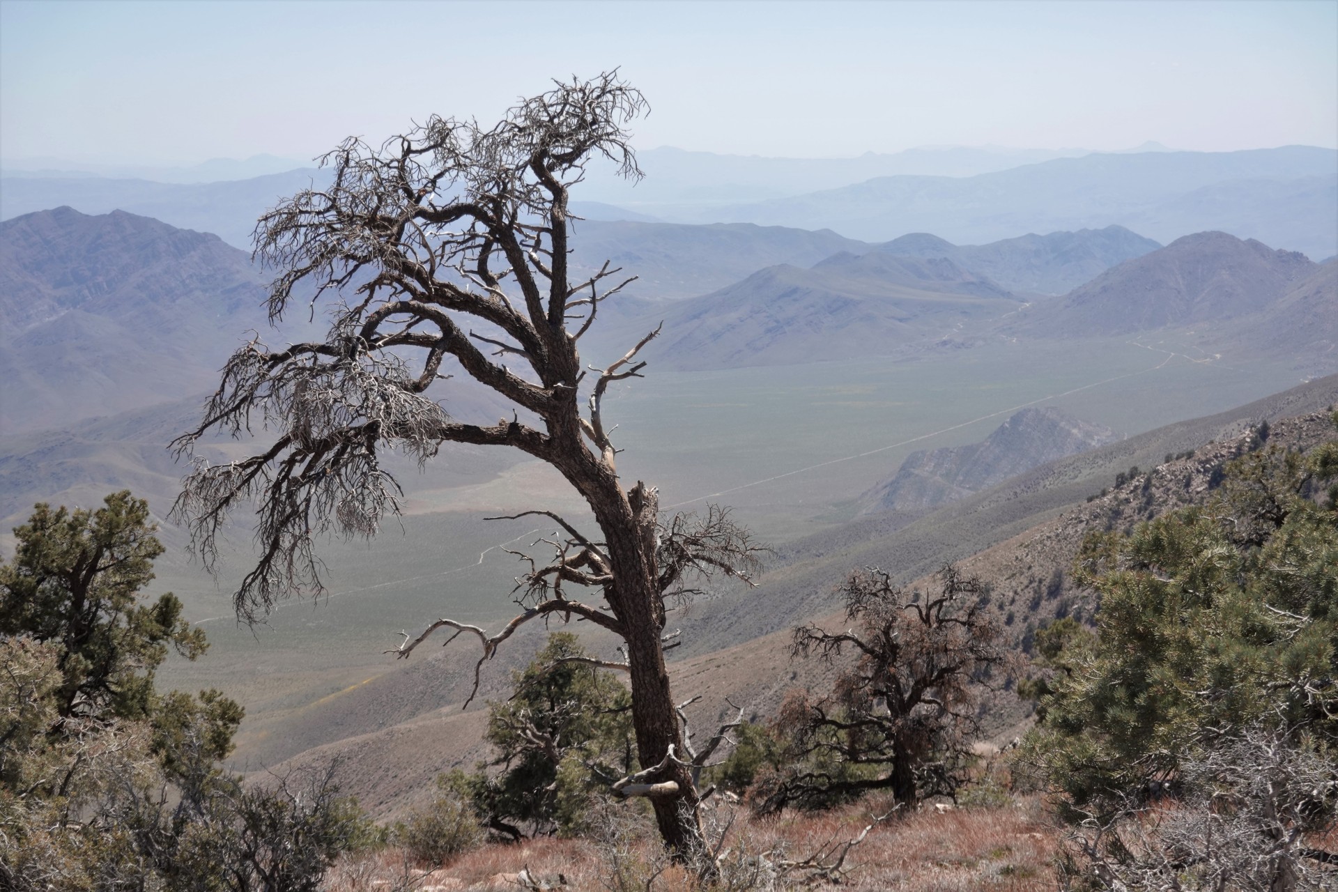
From Ballarat, we went straight up to Pleasant Canyon, where I have never been before. The trail looks like
cleaned-up and bulldozed Lippincott Road up to 4500 feet or so, and turns into a like of Hunter Mountain trail at higher elevations all
the way up to 7500 feet.
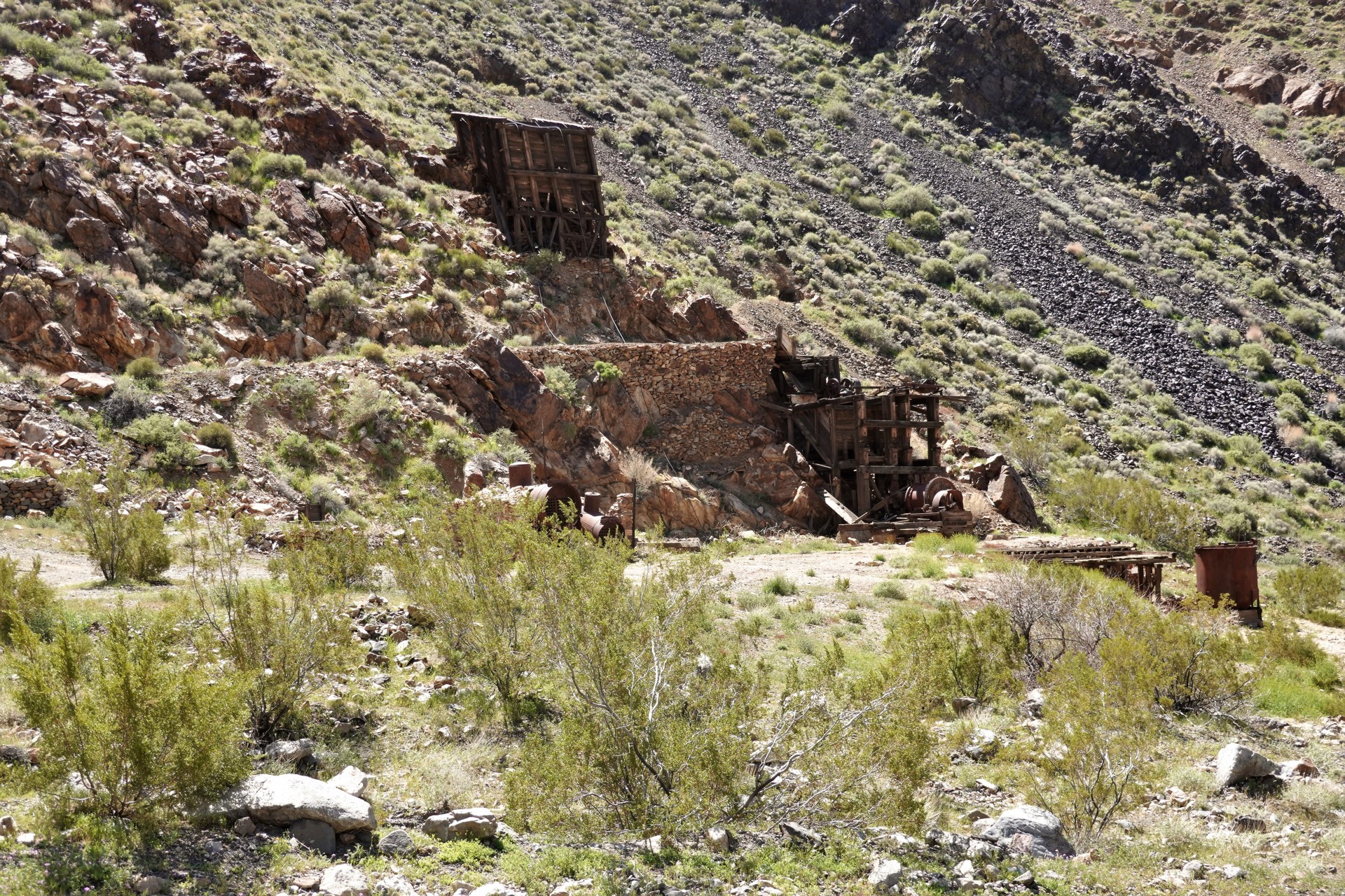
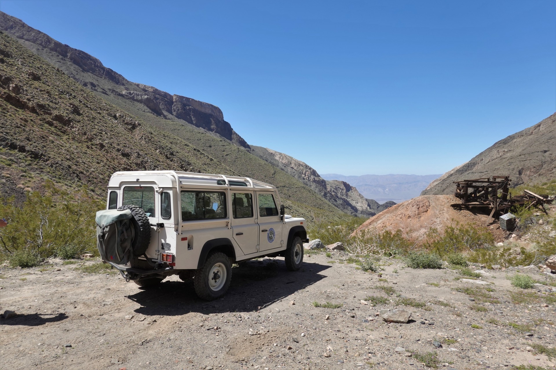
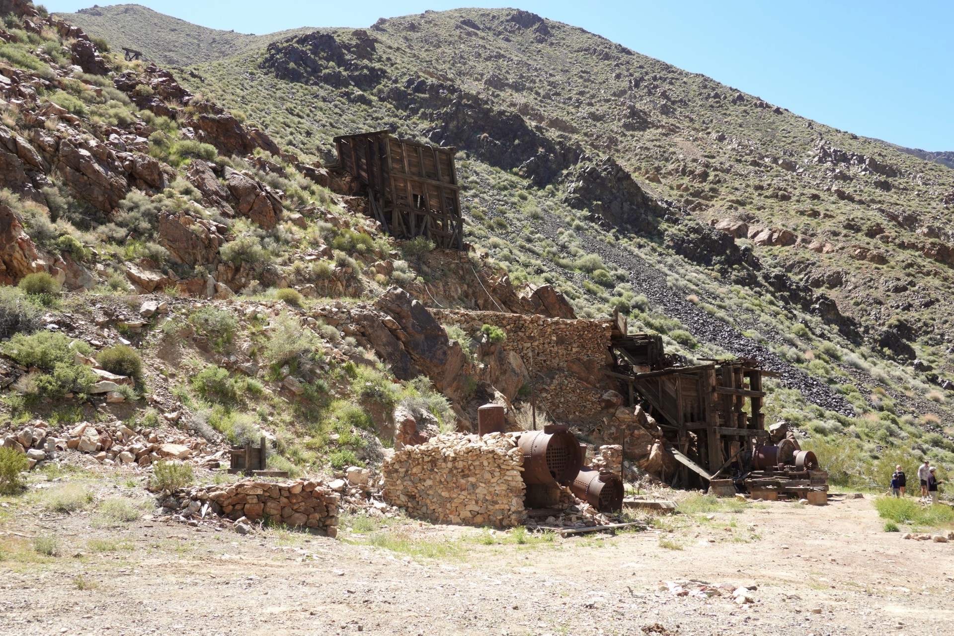
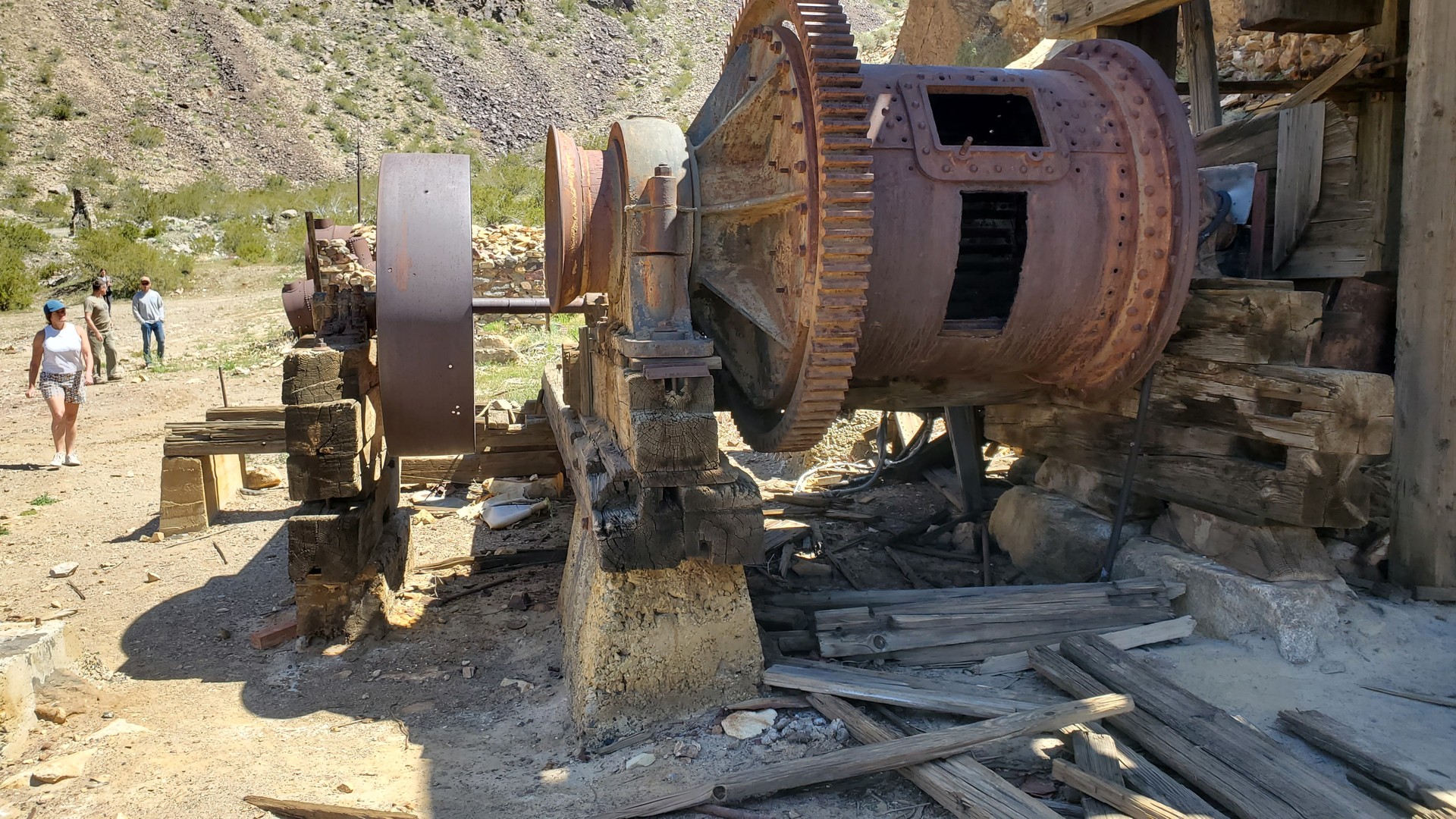
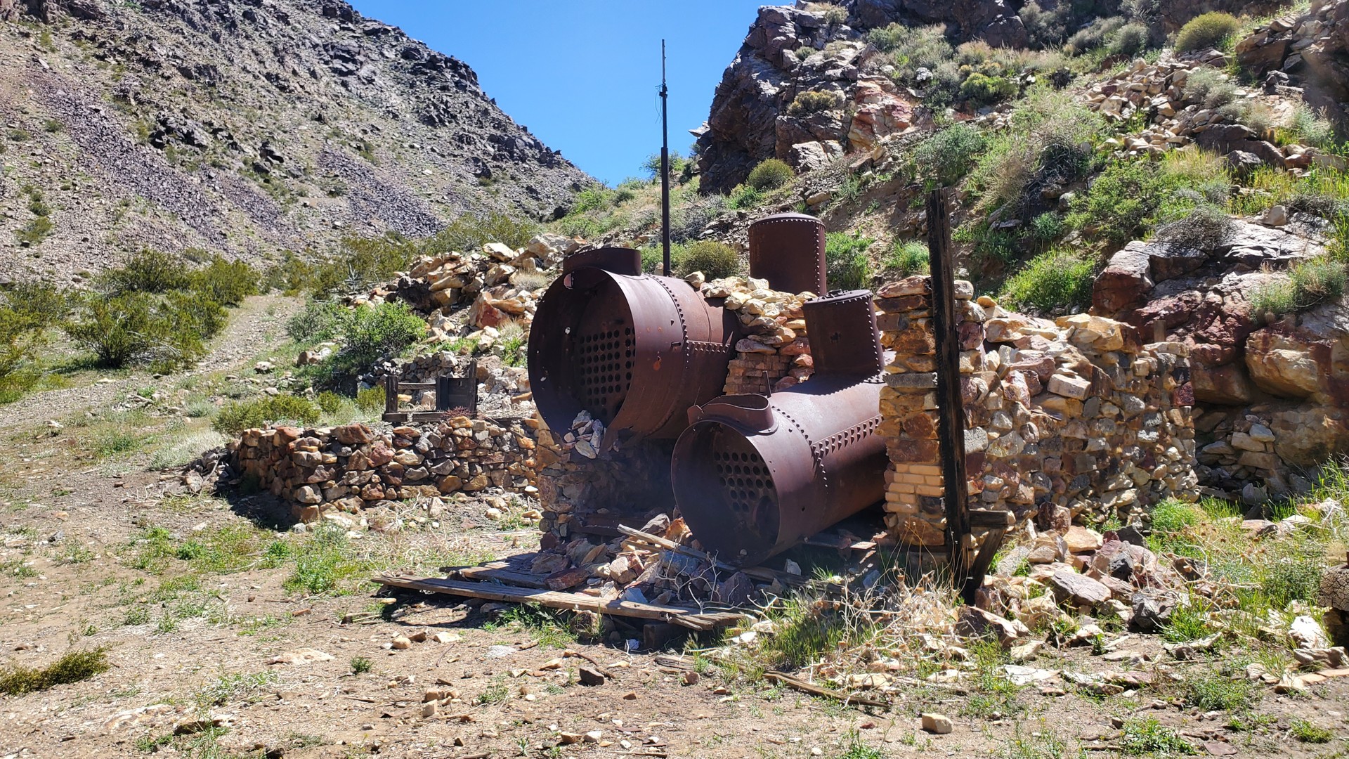
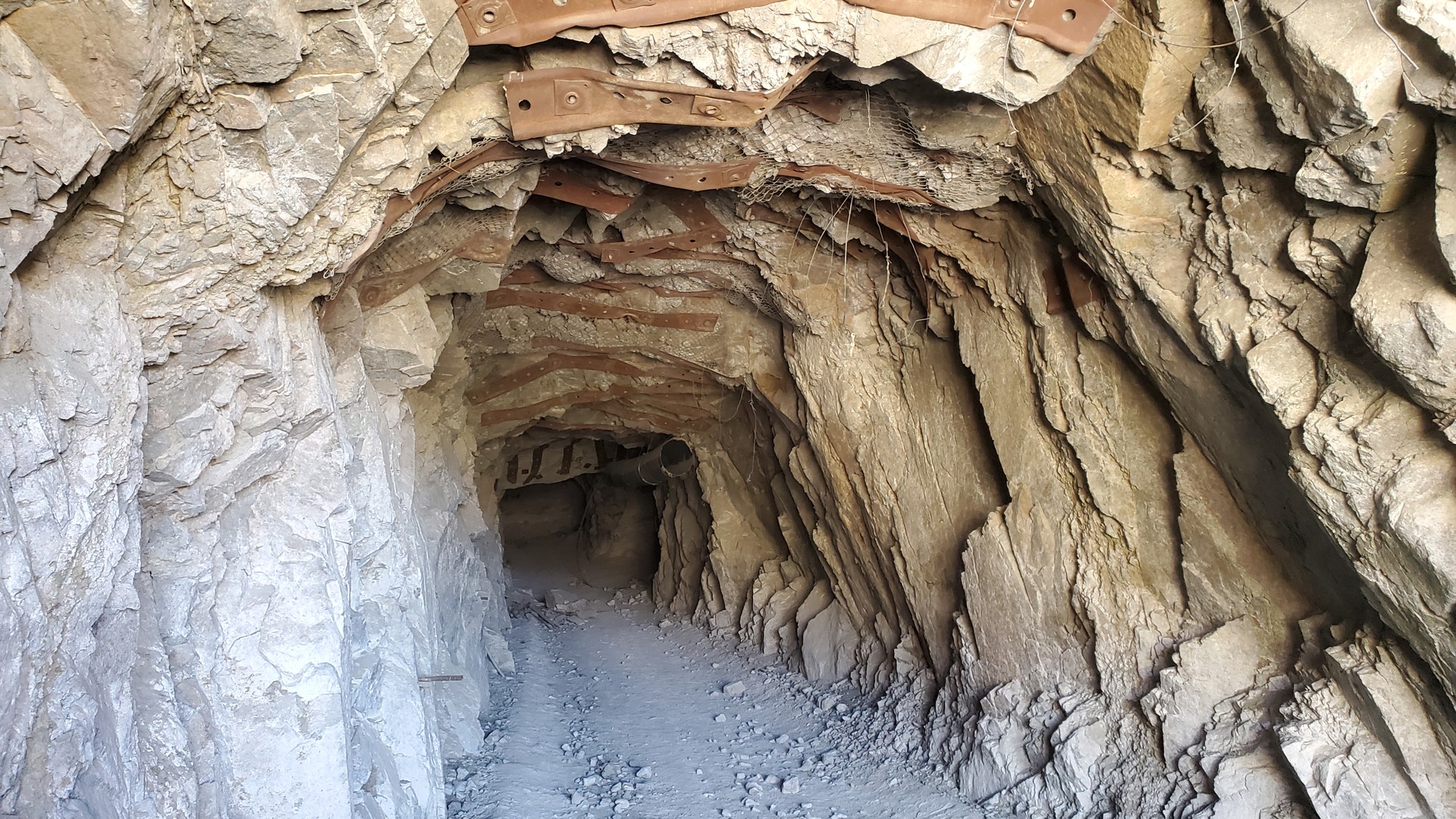
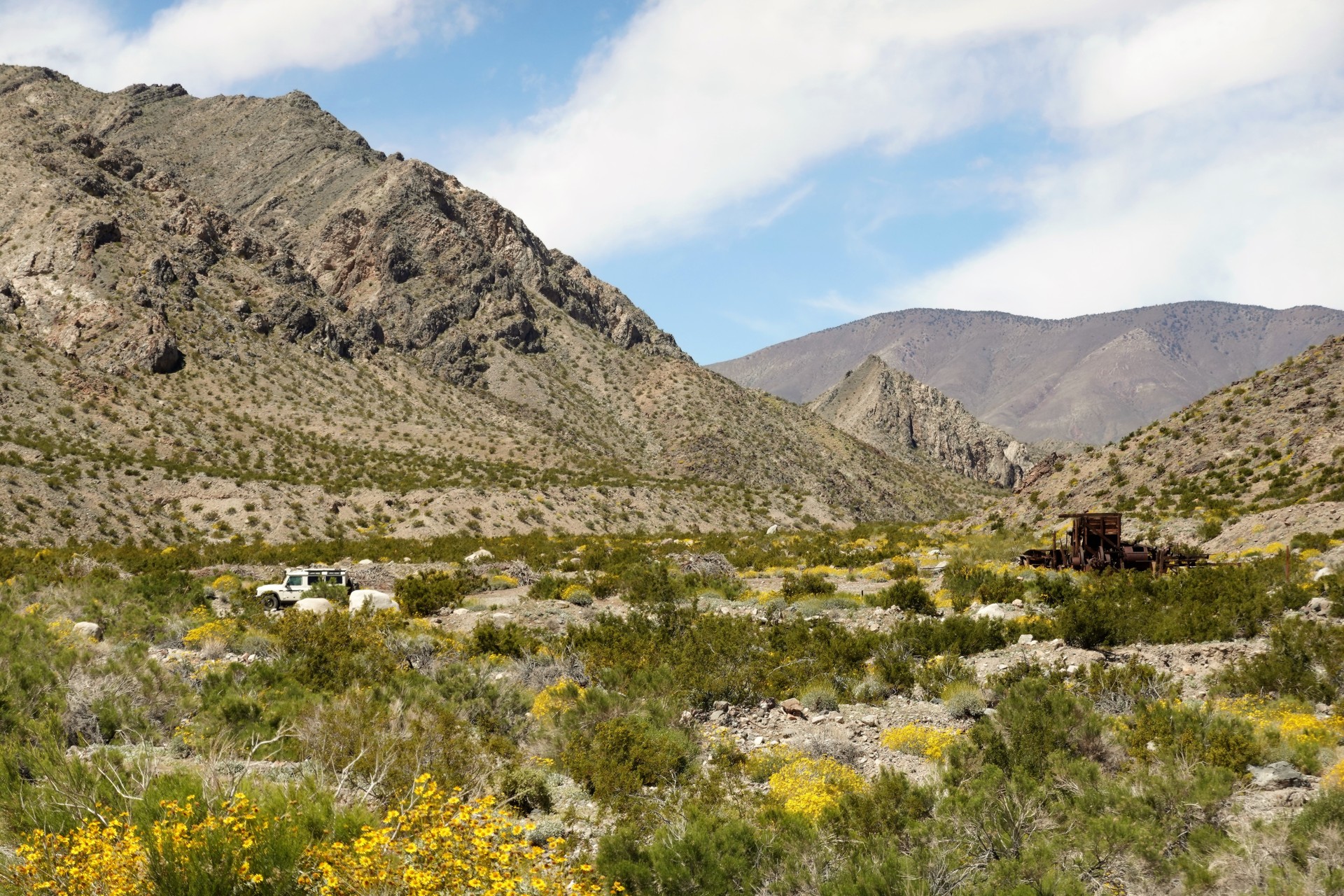
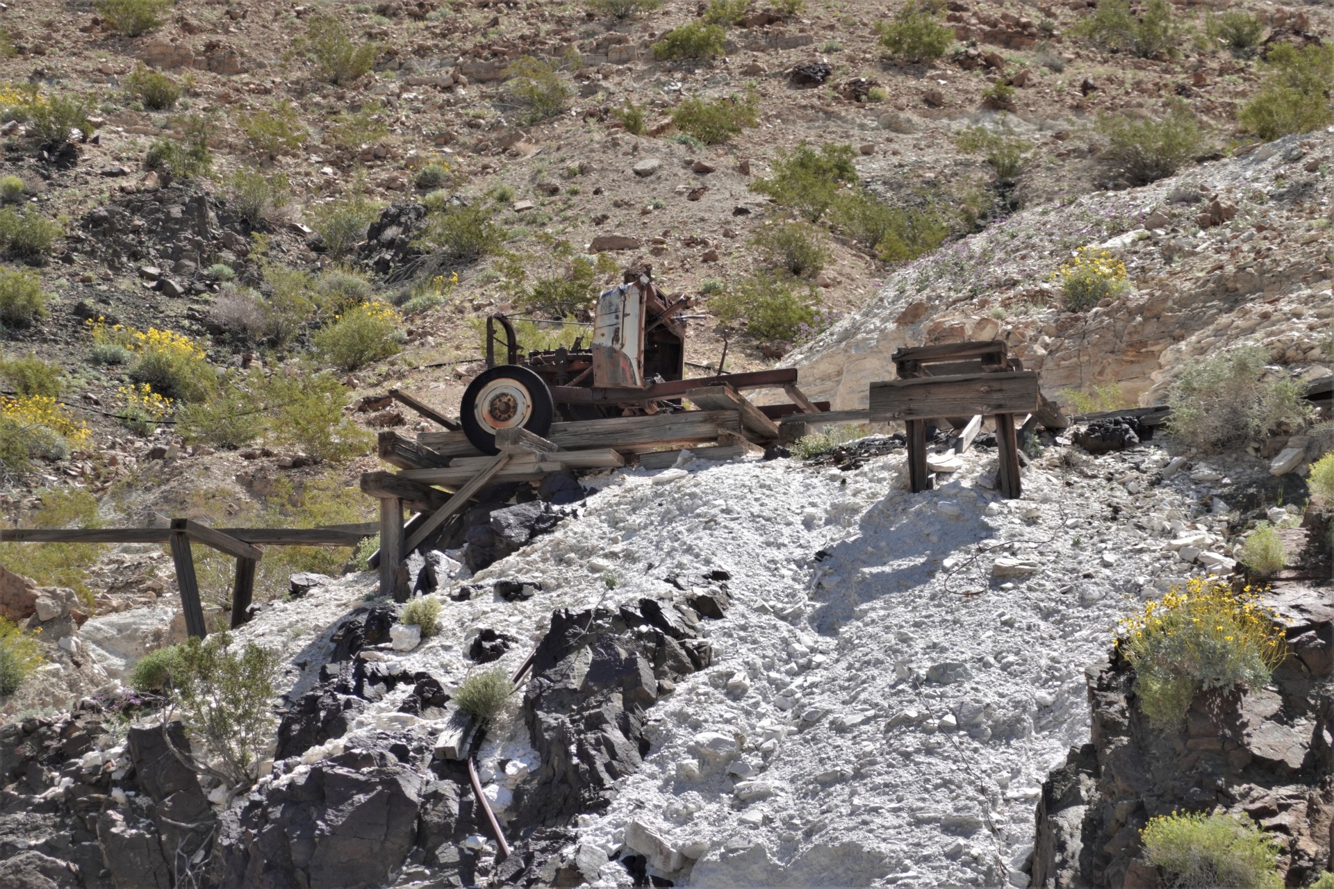
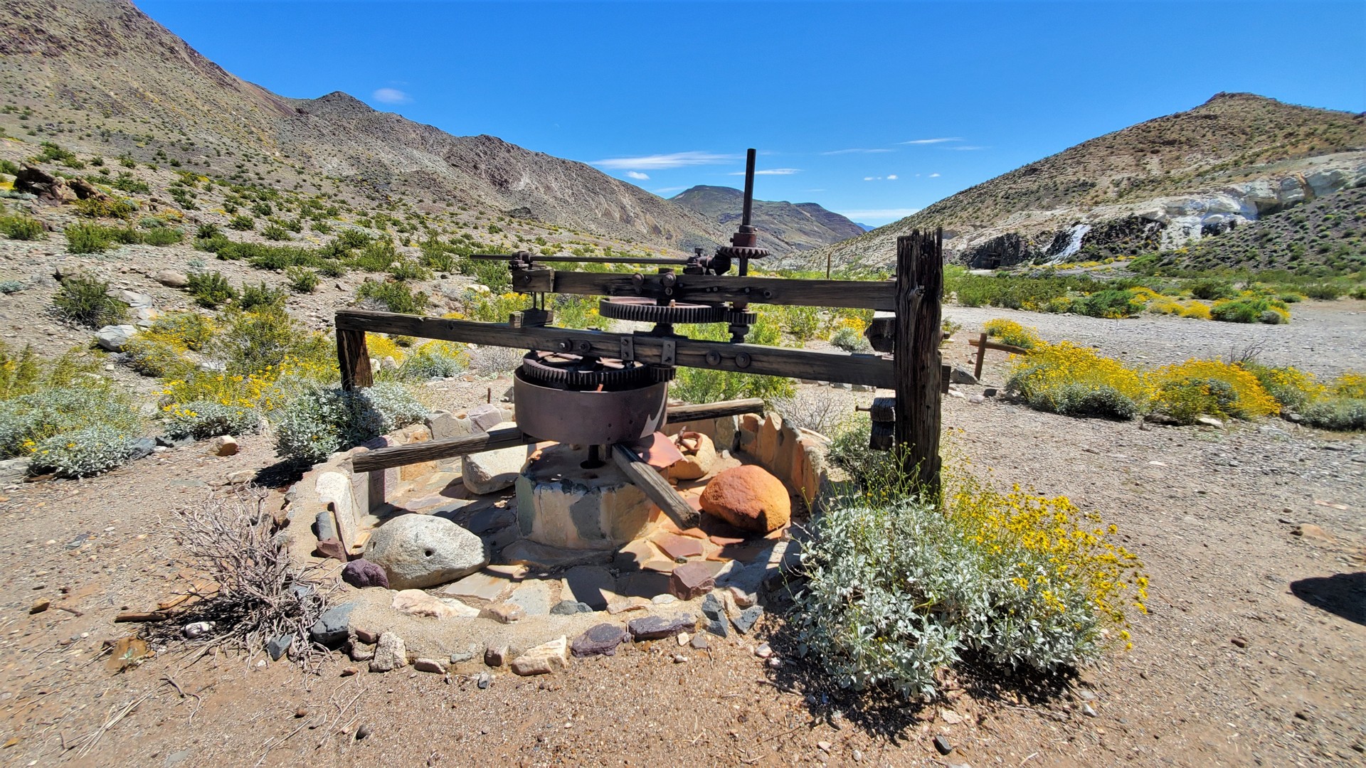
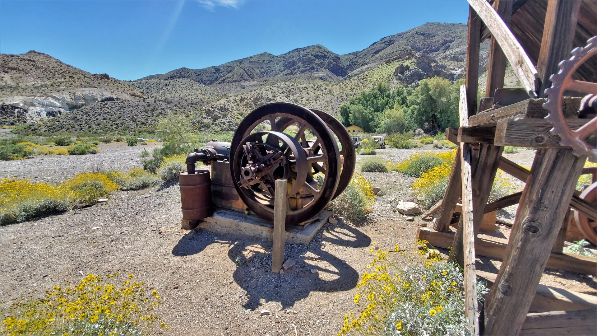
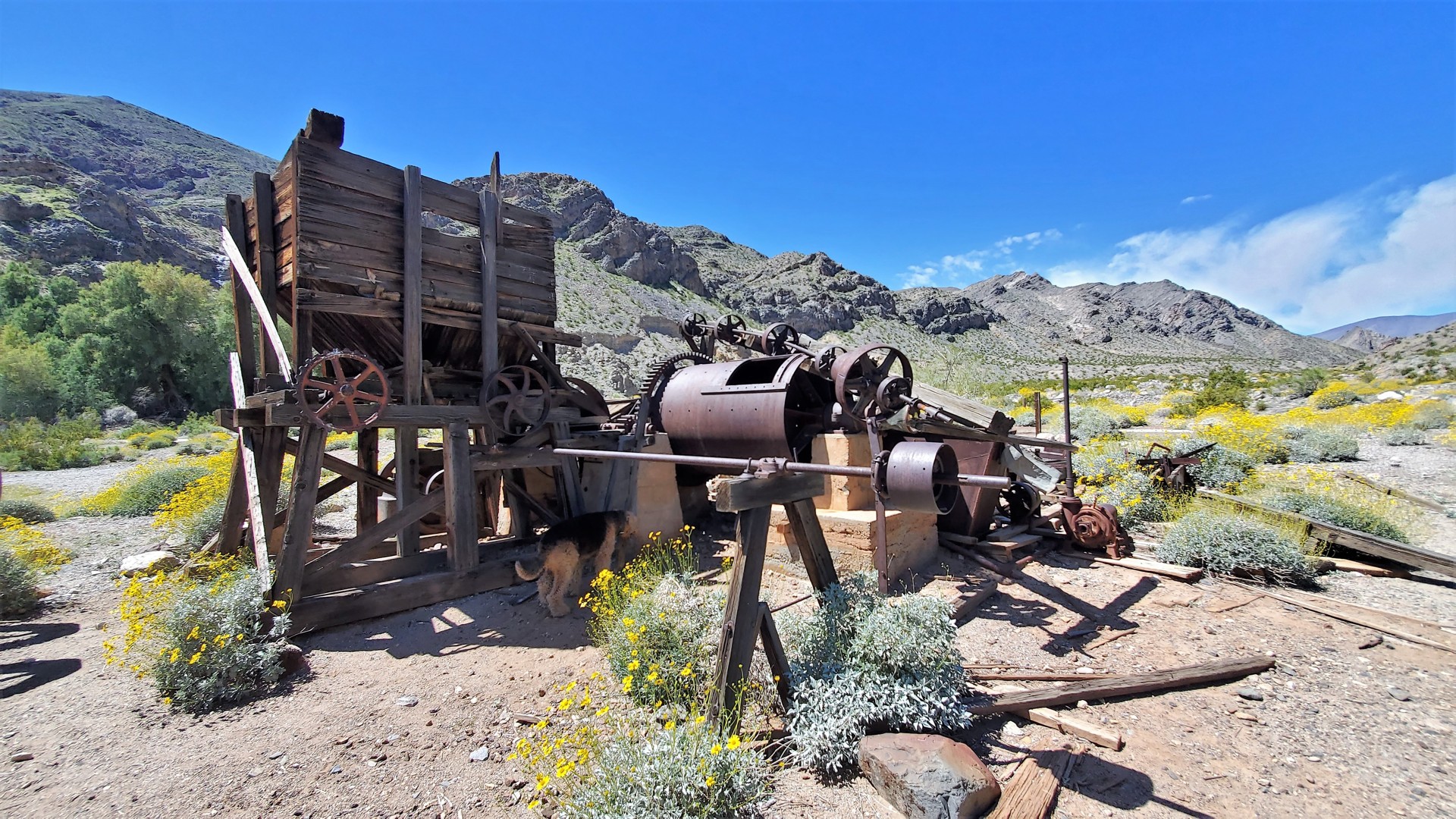
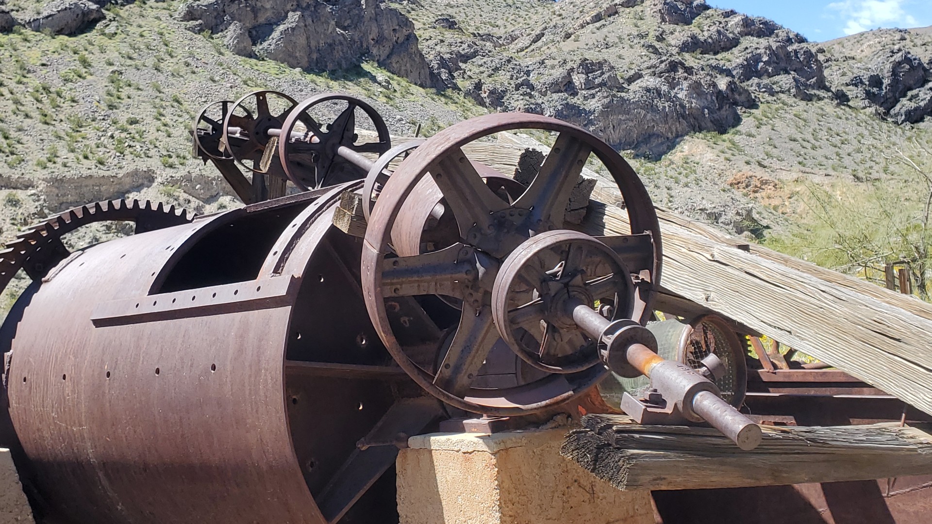
We stopped to walk around what's left of Claire Camp and parts of Ratcliff Mine. All cabins are now gone,
but the mine equipment remains, with enormous boilers and tram line winches.
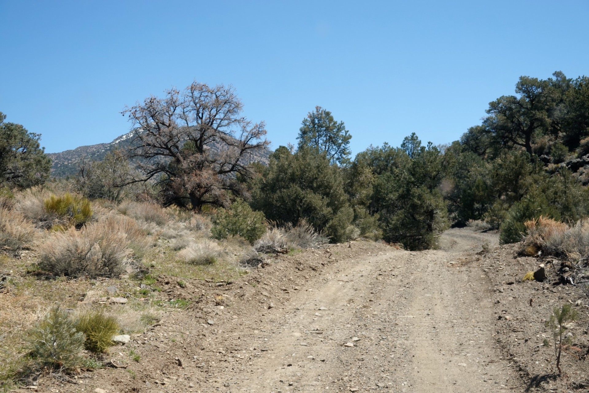
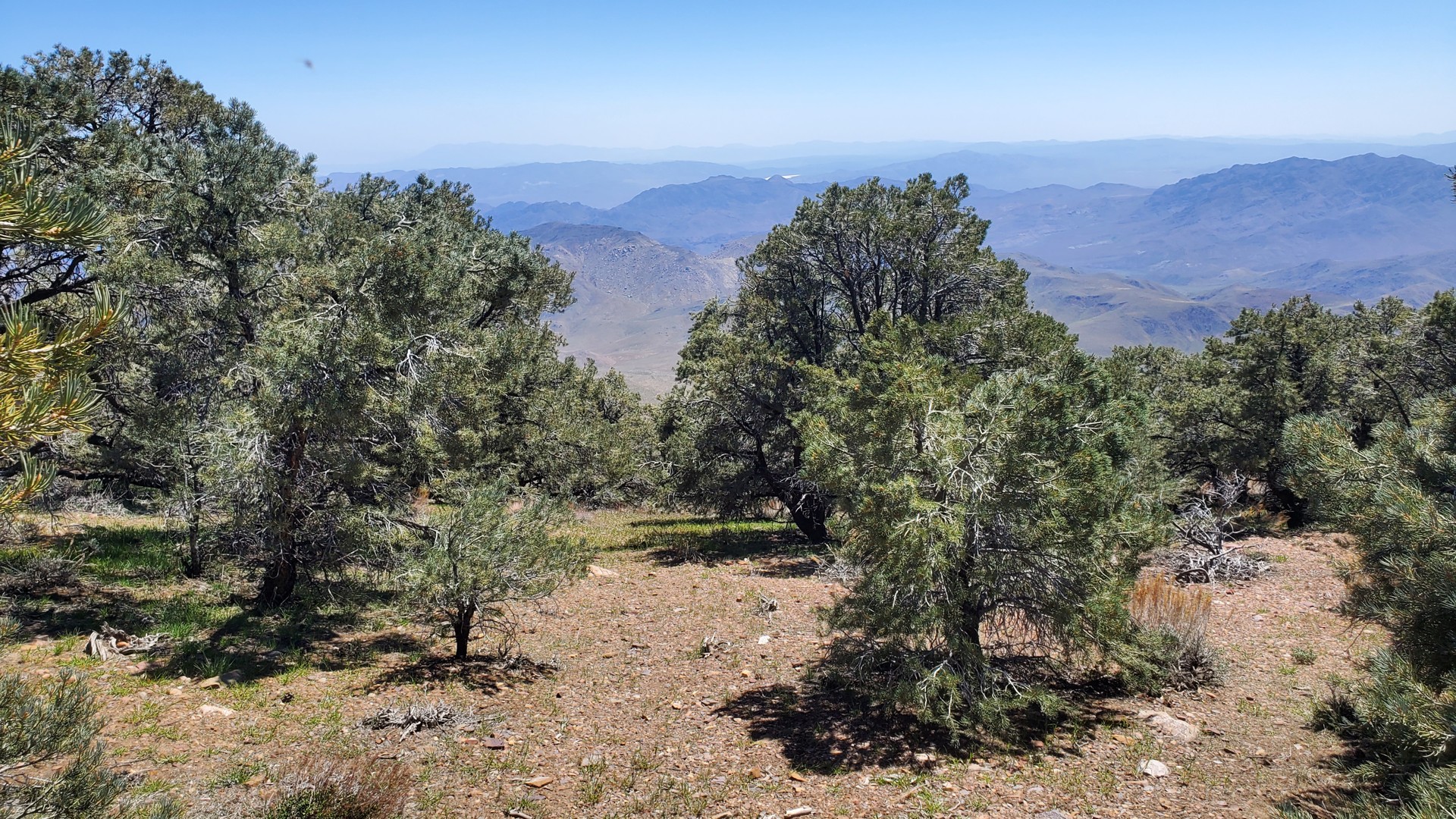
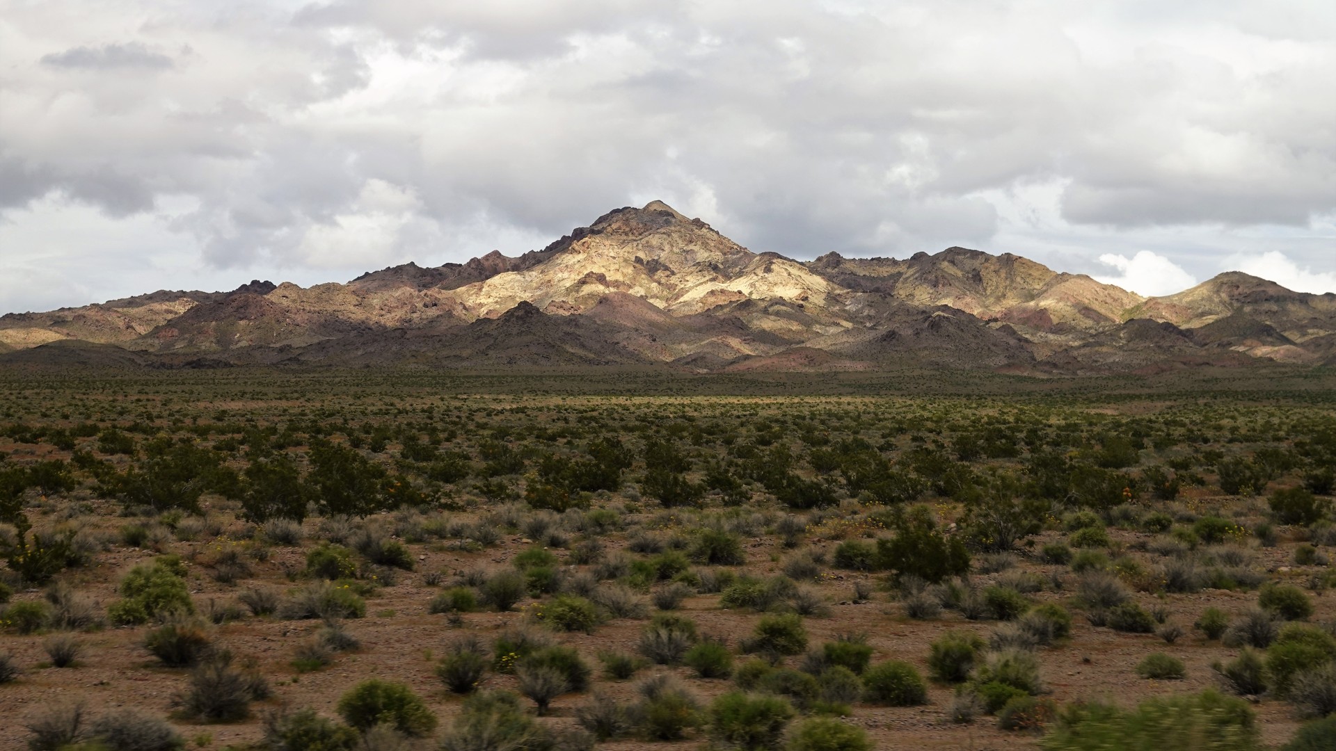
Conifers arrived around the elevation of 5200 feet, and dominated everything at 6500.
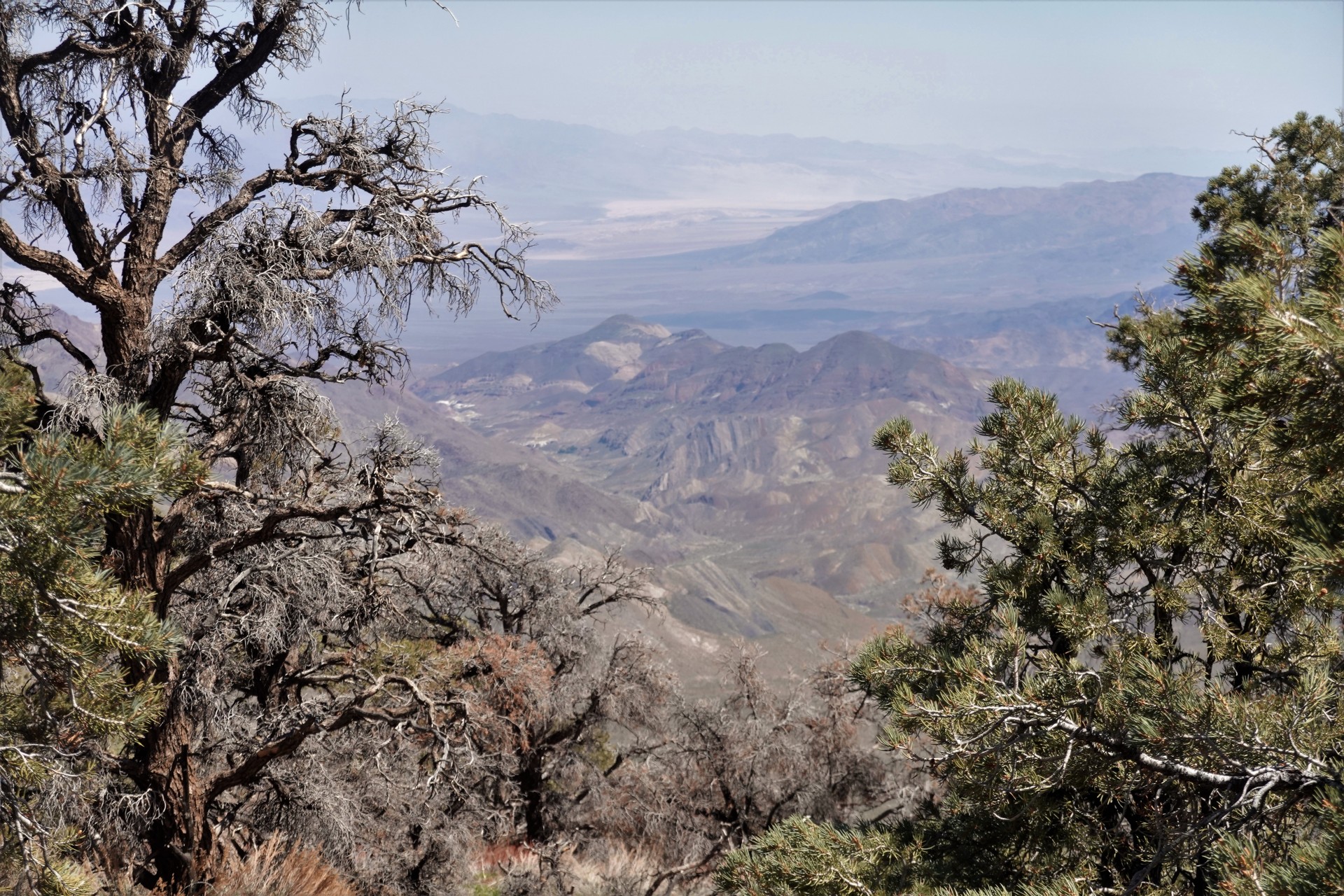
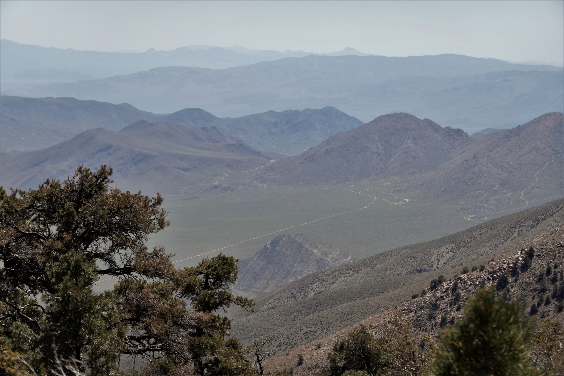
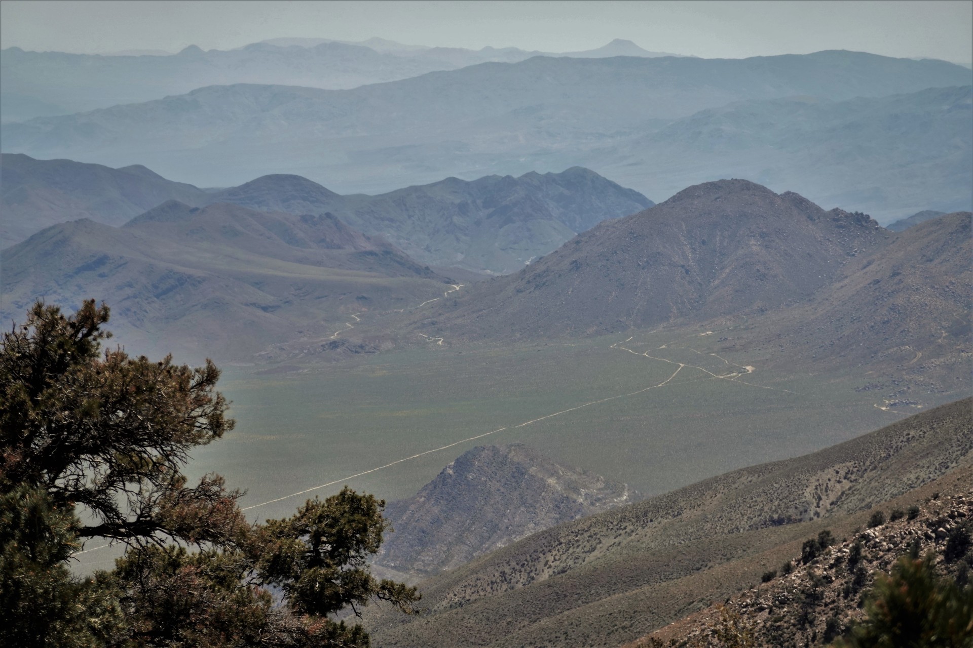
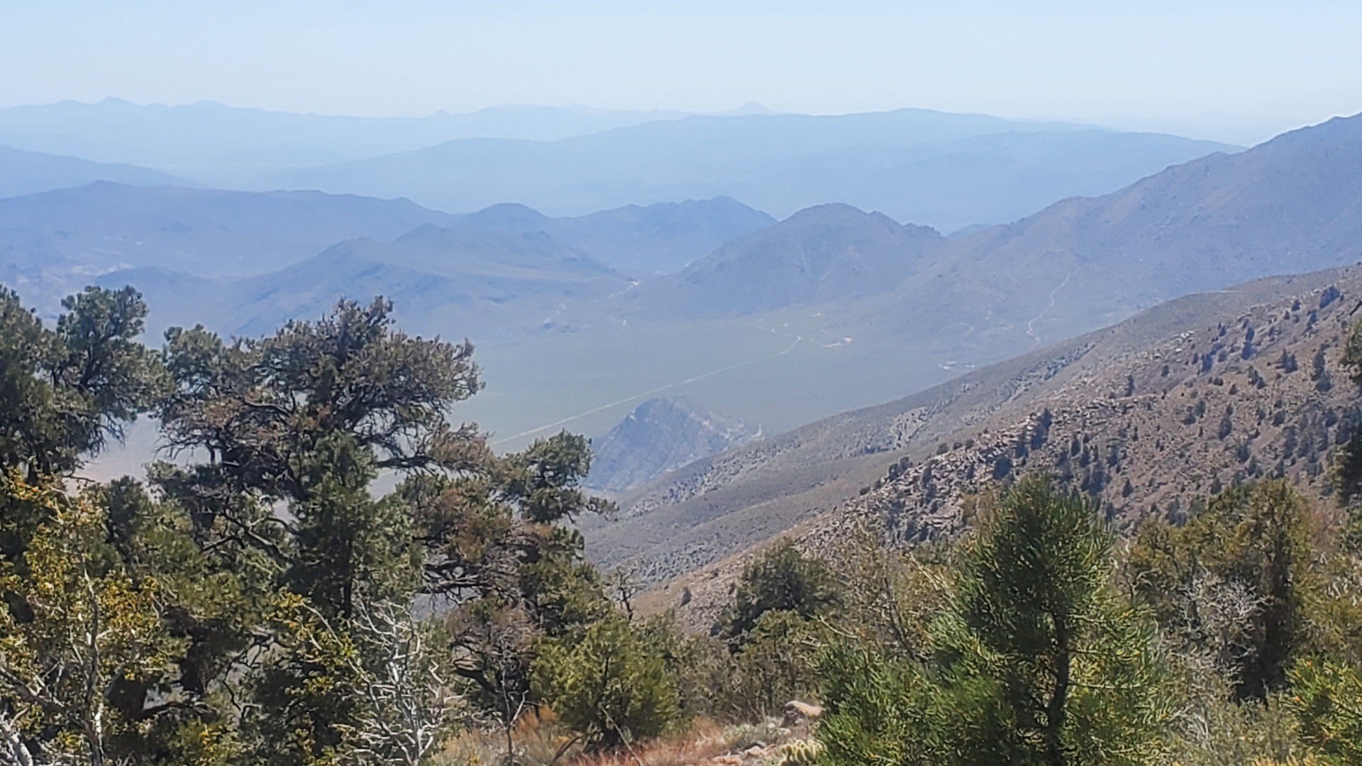
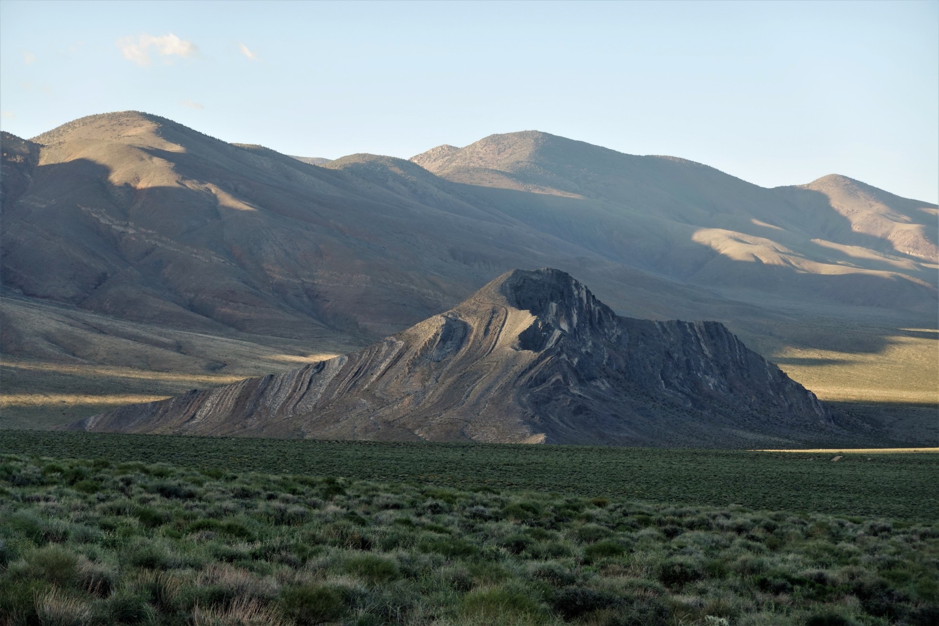
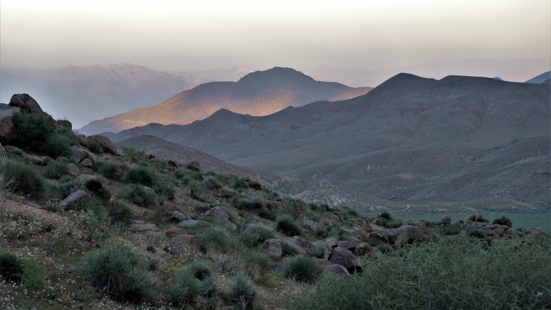
We stopped for lunch at Rogers Pass at 7160 feet, looking down into Butte Valley and Striped Butte.
Our plan was to camp in Butte Valley - so close as the crow flies, yet about 40 miles away on wheels.
After some deliberation, we decided to skip South Park - cut through Middle Park back to Pleasant Canyon, return
to Ballarat, make our best time on Wingate Road and work up Goler Wash.
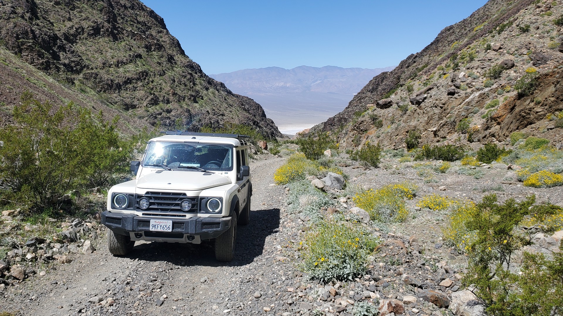
Ballarat to Goler Wash, Mengel Pass, and Butte Valley
I managed to miss the turn to Barker Ranch - which, in retrospect, saved us about an hour of daylight.
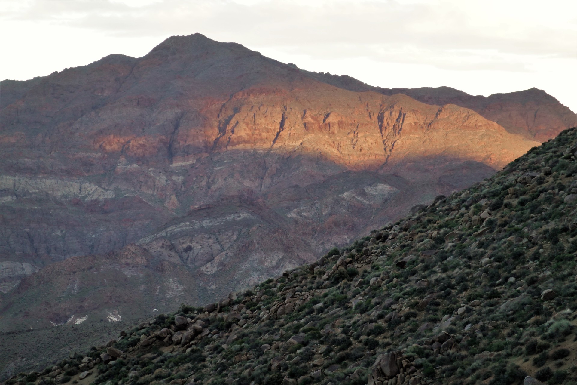
The sun was already at the edge of the mountain range when we reached Mengel Pass.
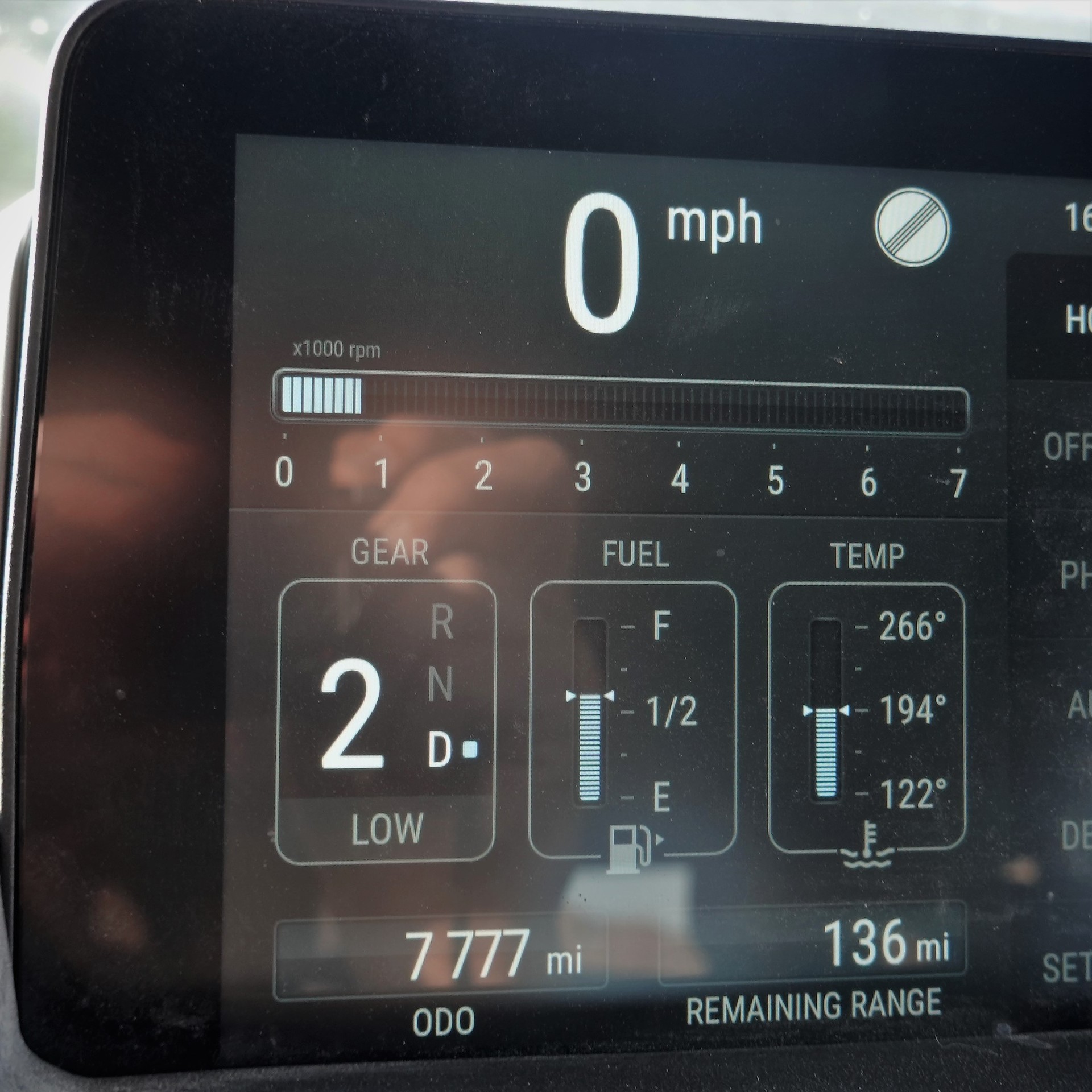
It took some work to get down from Mengel Pass to Butte Valley. The Tundra had to be tiptoed around a few
protruding rocks.
Not surprisingly, the cabins in Butte Valley were mostly taken. A few friendly bicyclists were offered
beer, and suggested trying Russell Camp as a place to stay overnight.
It took us a while to come up with parking and camping arrangement - most of the area isn't very flat.
Russell Camp in Butte Valley
Once settled, we proceeded to cook dinner, have drinks, and enjoy a beautiful sunset in the valley. Only a bizarre and
totally unexpected cold rainstorm made us turn in.
The morning was crisp and fairly cold - 35F.
In the morning, we took our sweet time to get going. First, we had a look of the Striped Butte from
the south side.
Warm Spring Valley to Ashford Junction
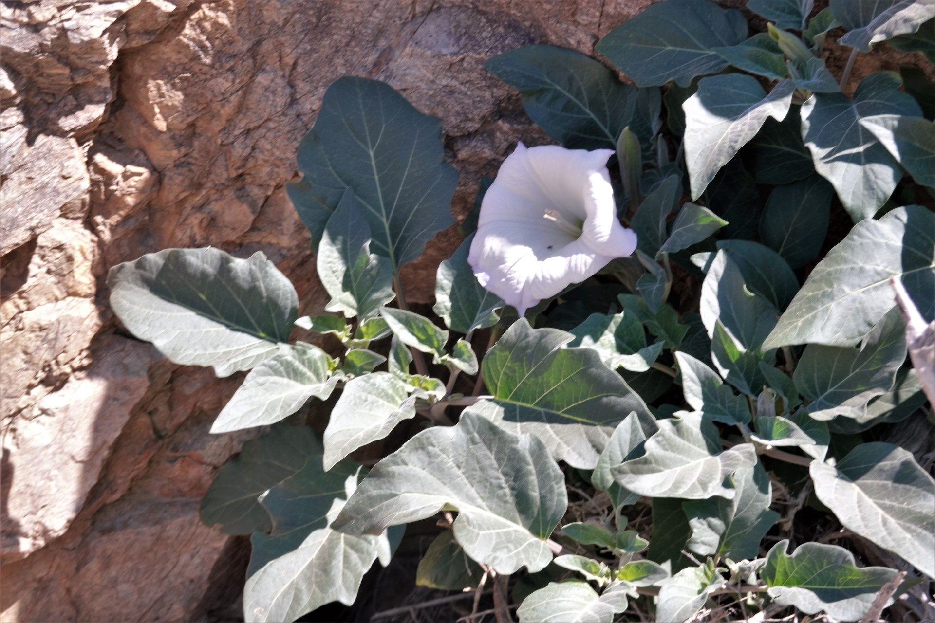
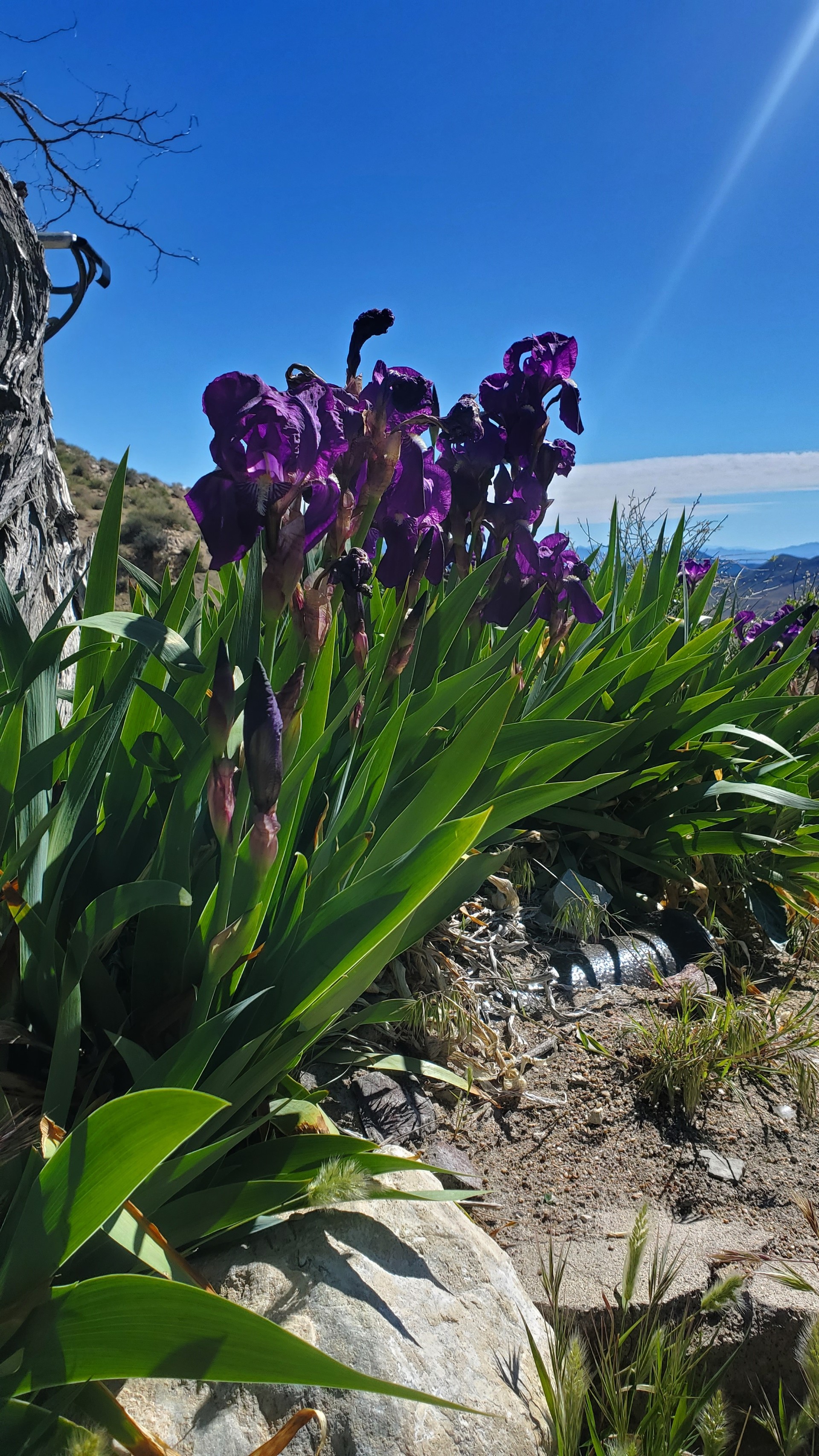
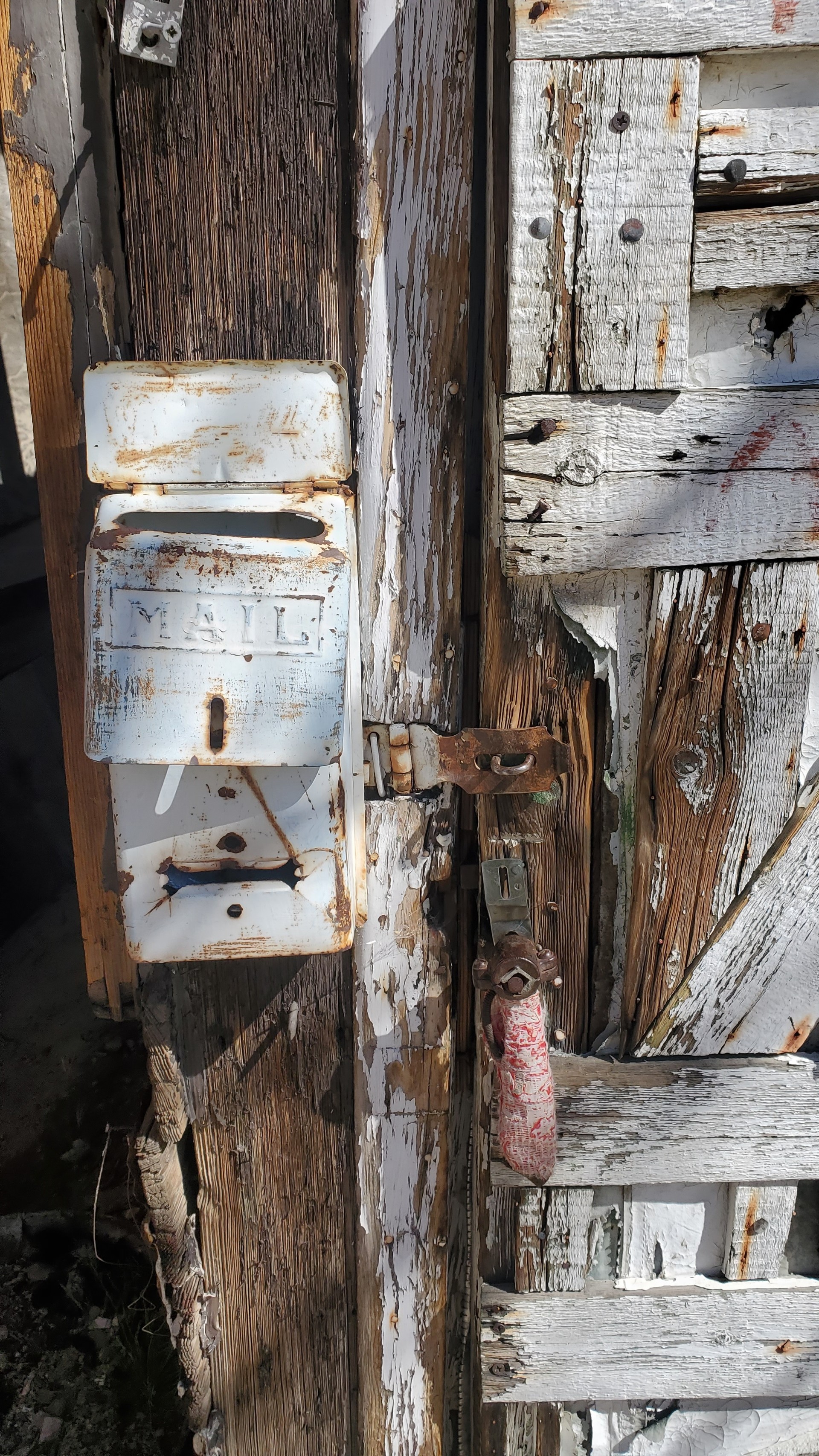
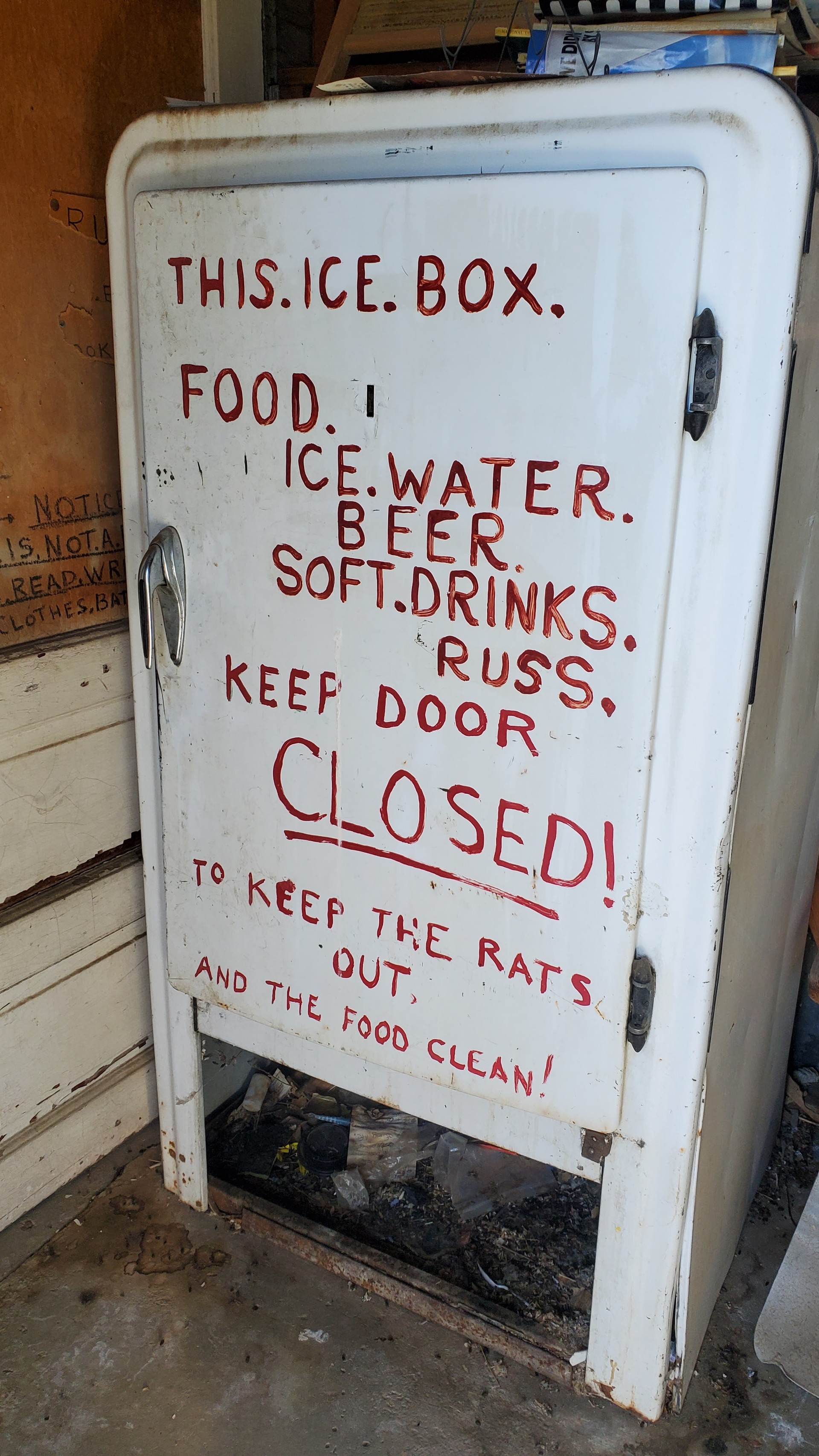
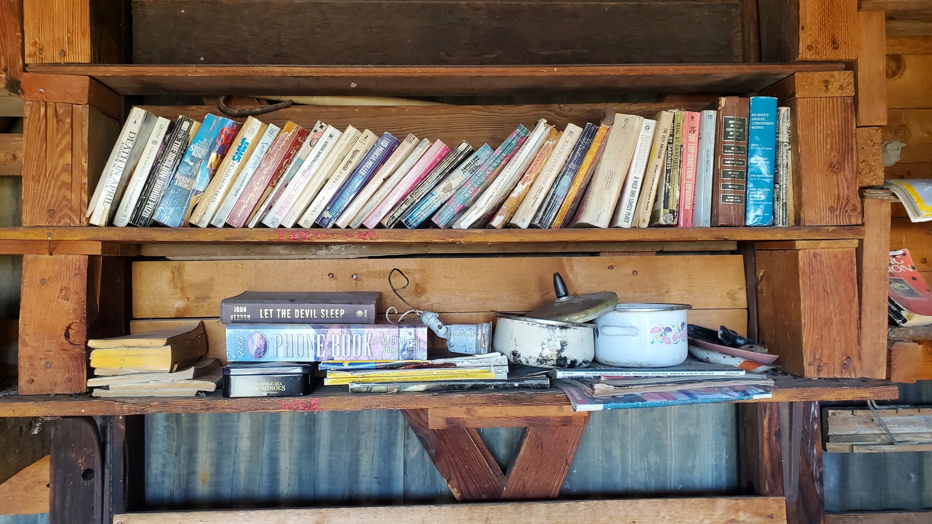
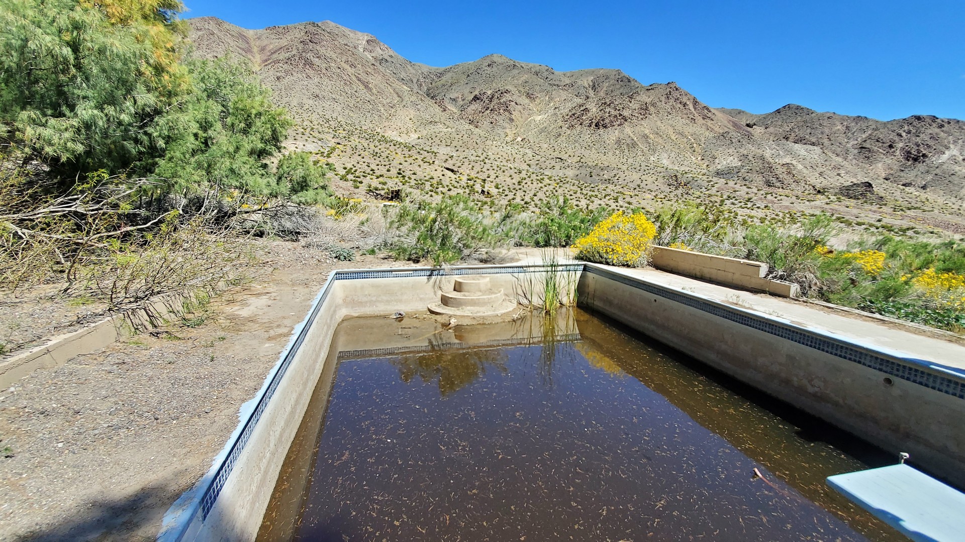
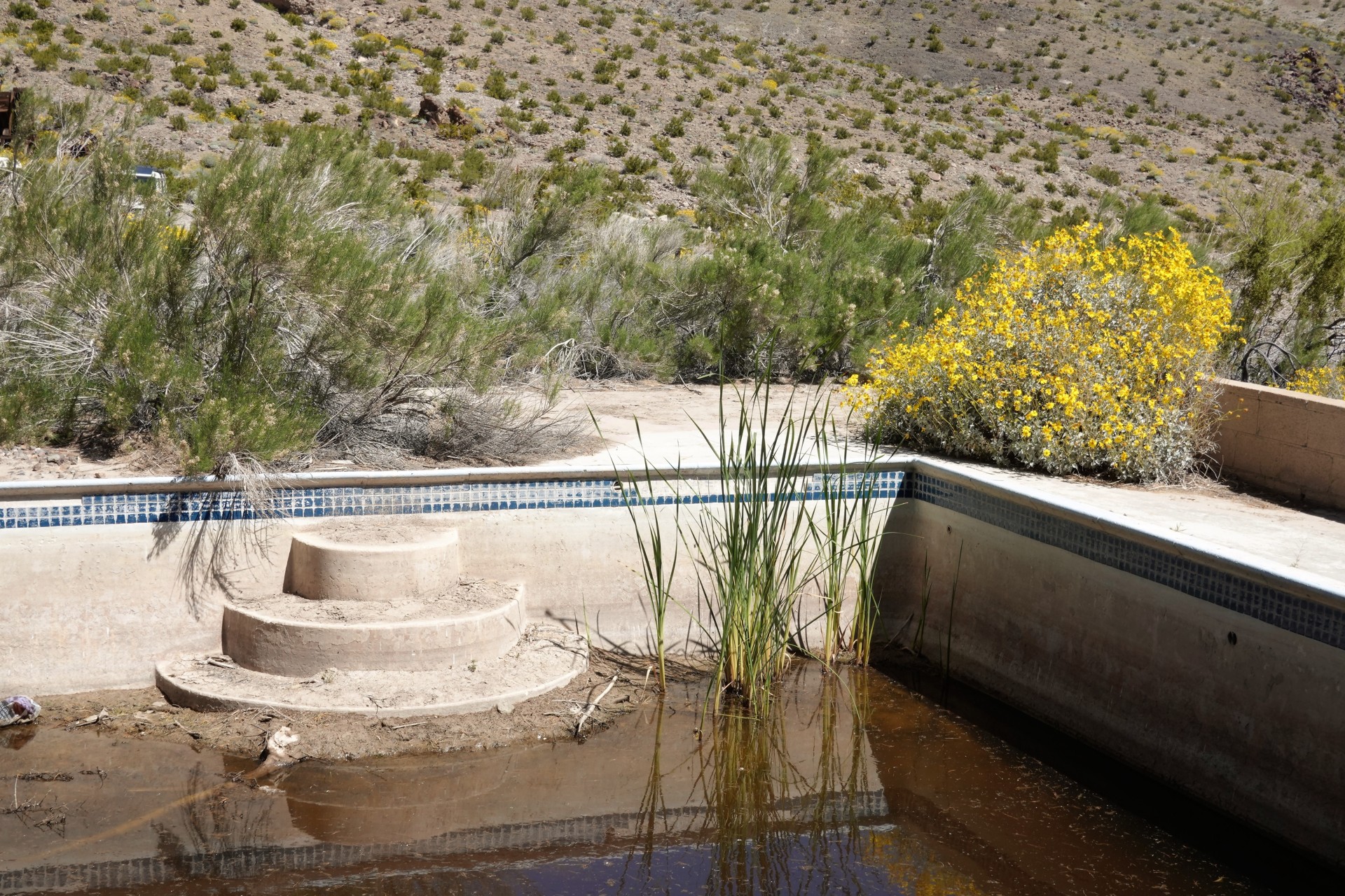
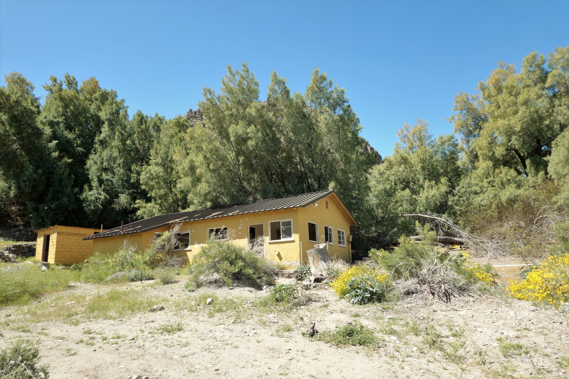
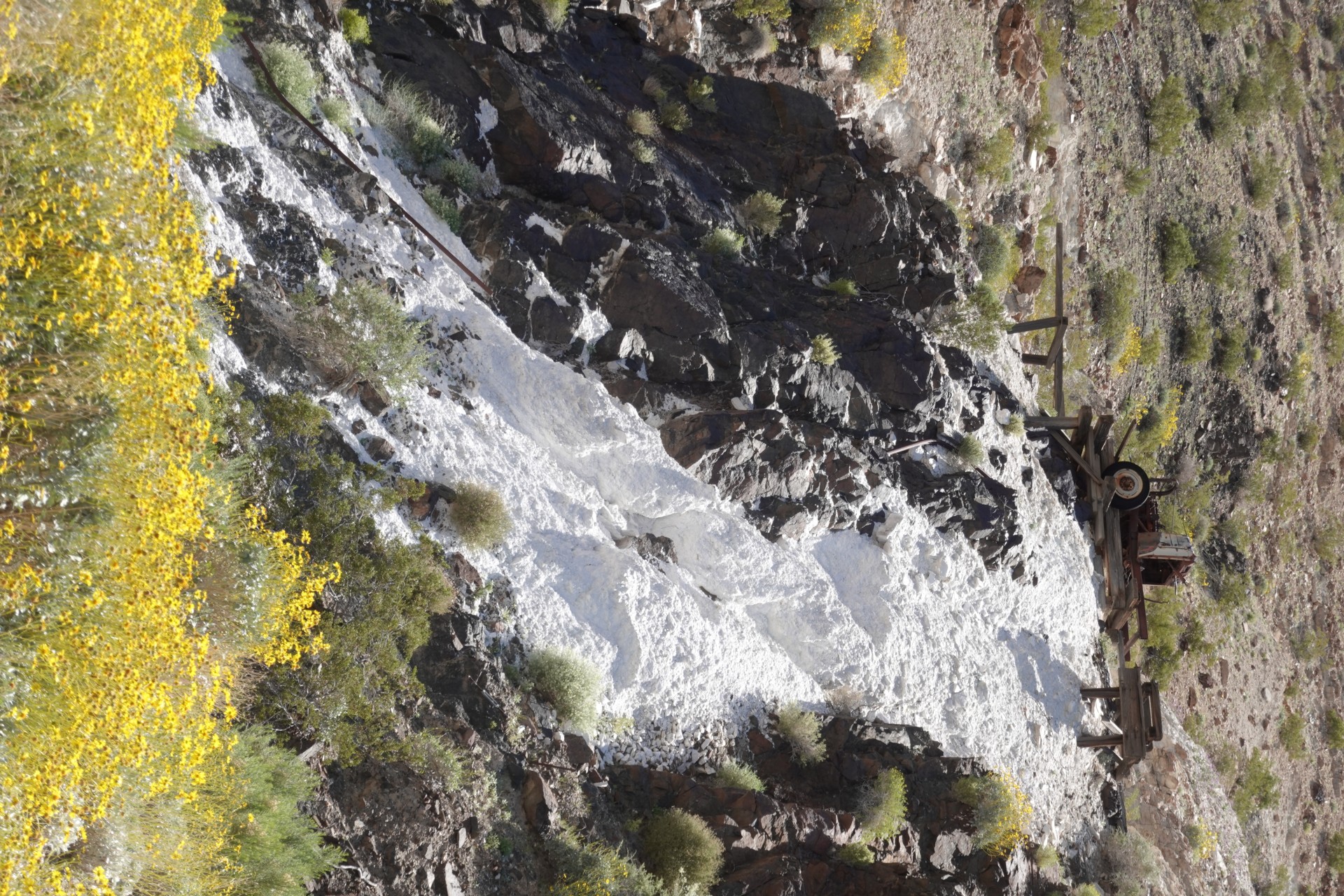
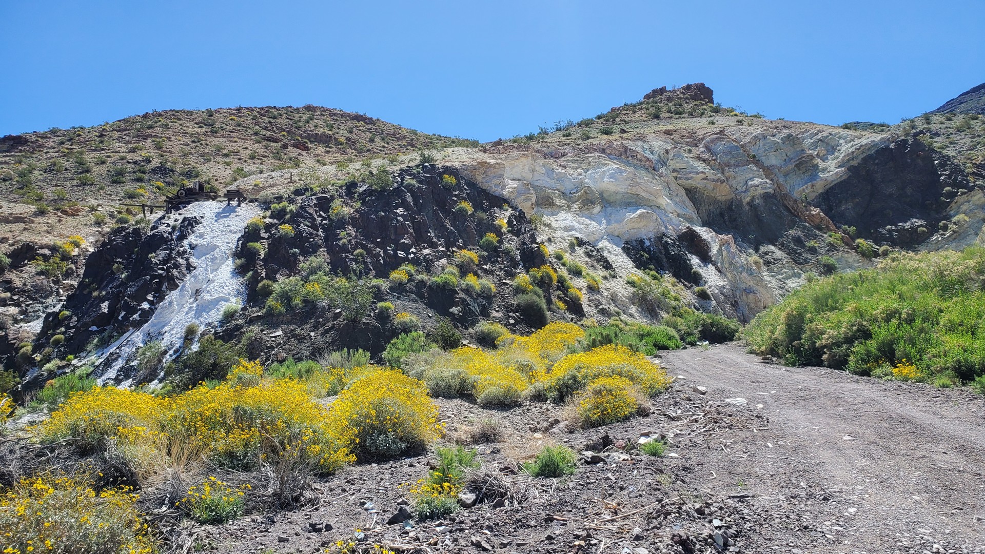
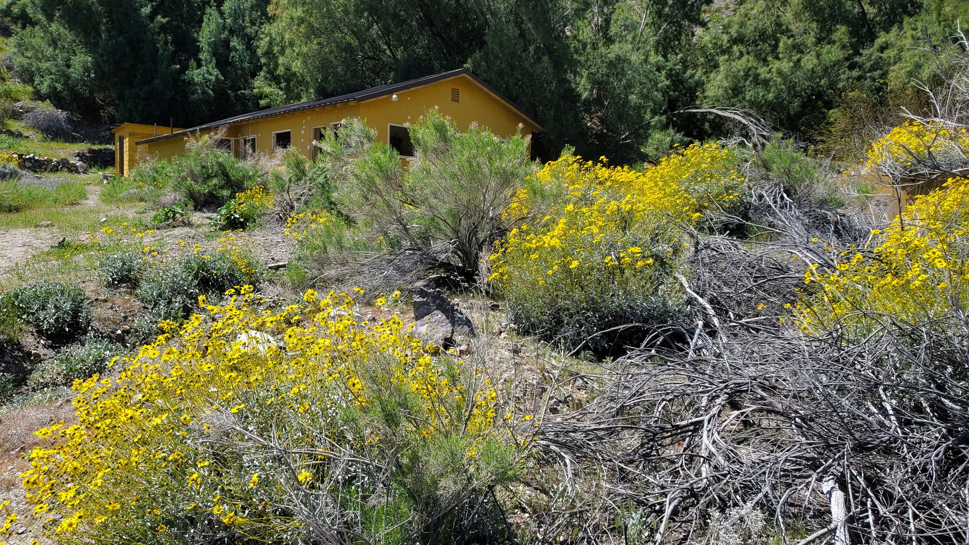
Our way downhill was nice, if a little rocky in places. We had to stop by Warm Spring Camp and Talc Mine.
The Camp was a pleasant surprise - the last couple of times I have been there, its was surrounded by a trash field - not all
of which was mining equipment. Since then, a couple of major flash floods - during hurricane Hilary and the winter of 2004 -
filled part of the camp house with rocks, but also took most of trash away or buried it under rocks. The camp now looks very
clean, green, and blooming with yellow flowers.
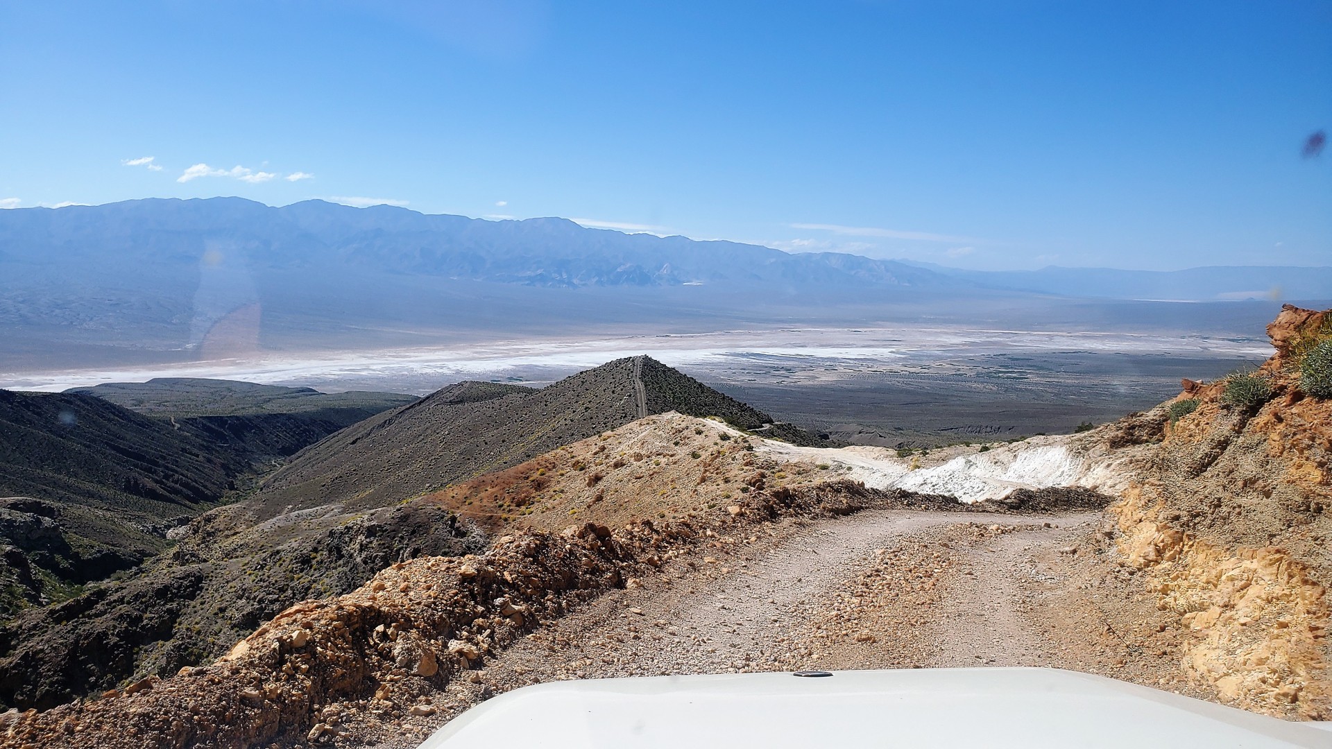
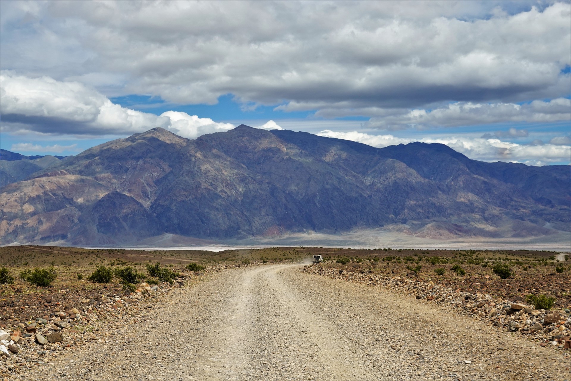
After a lazy lunch, we left Warm Spring Camp and headed downhill towards Badwater Road.
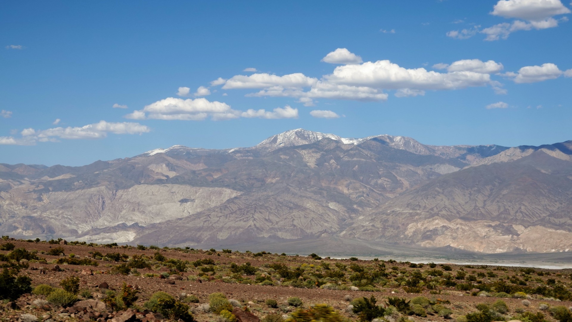
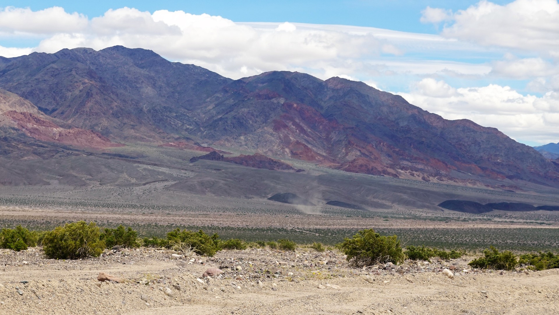
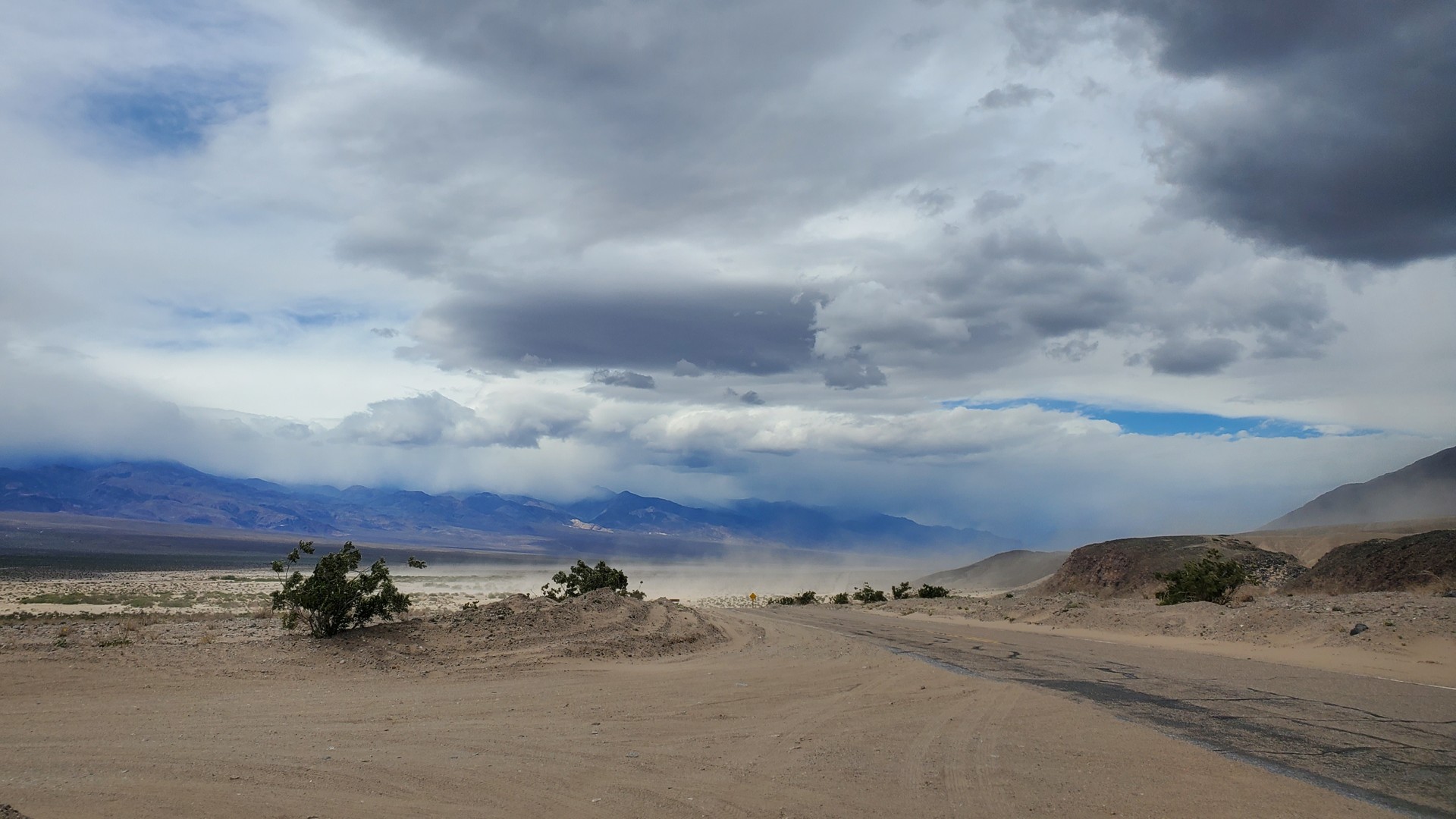
At Ashford Junction, the weather completely changed. The skies over Panamint Range - which we just crossed -
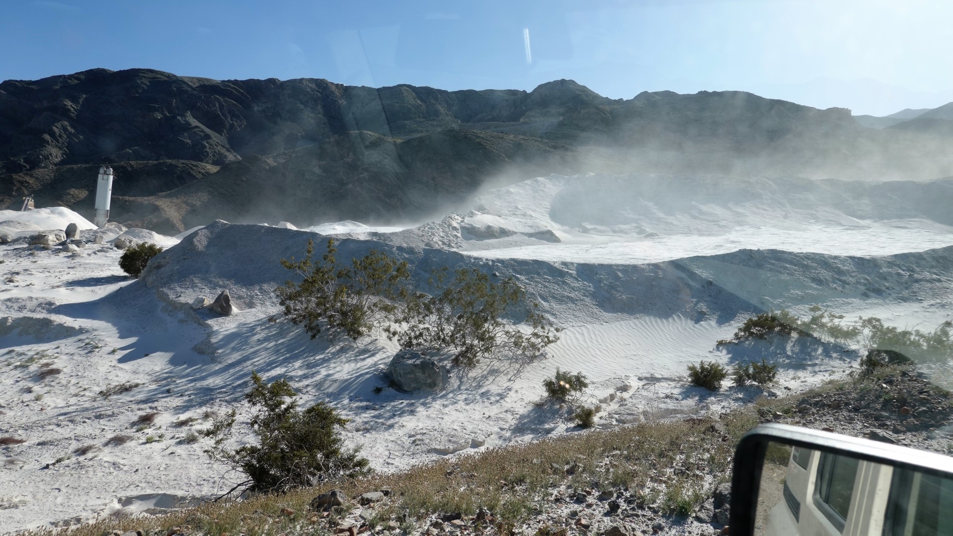
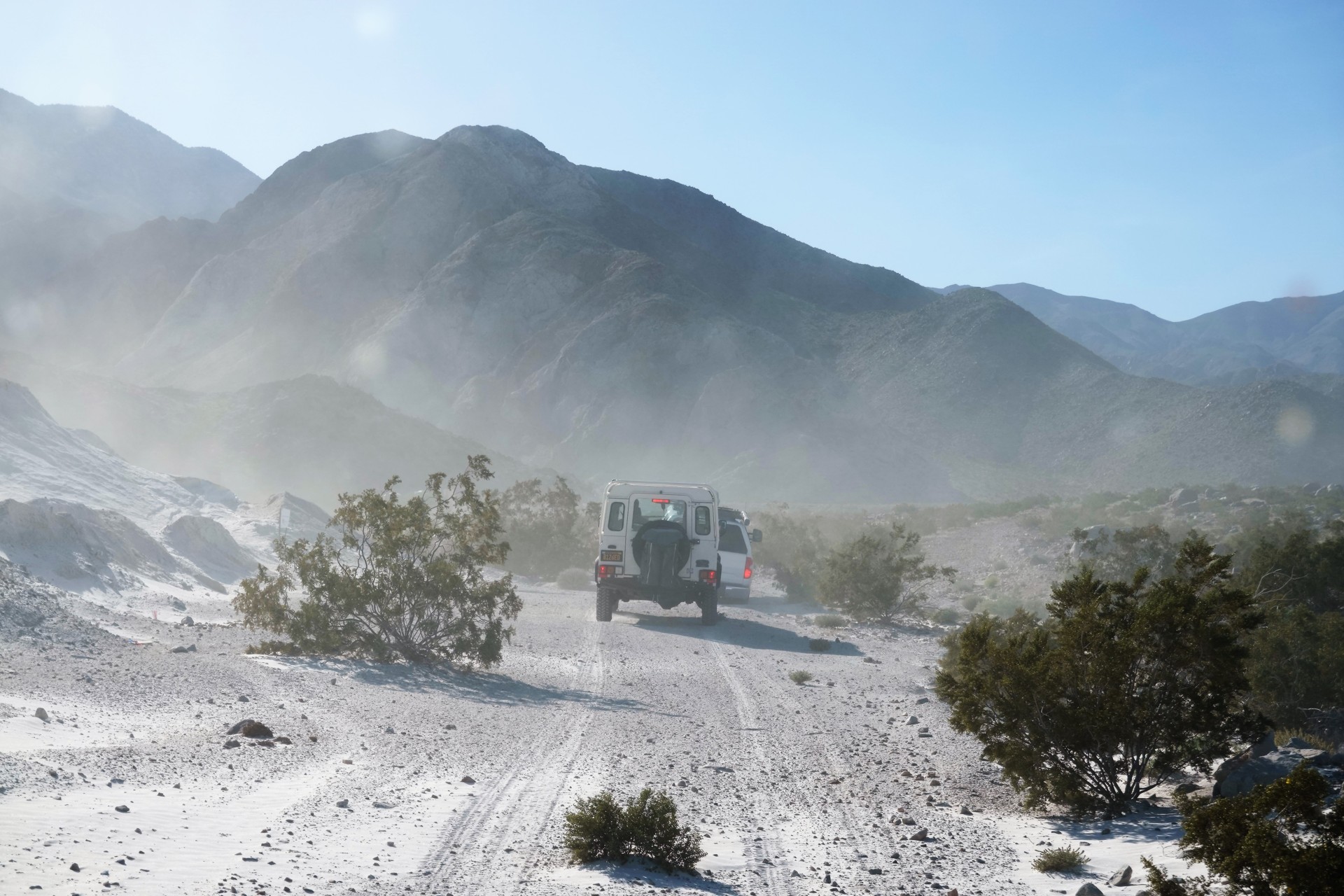
became leaden-gray, with visible rain squalls. The southern end of Badwater valley was still dry, but the ferocious wind whipped up
a decent sand storm. Just by leaving rear windows down I ended up with most of the interior coated with fine sand.
We aired up, cancelled a variety of planned Death Valley Proper sighseeing, and proceeded with a
Mad dash home
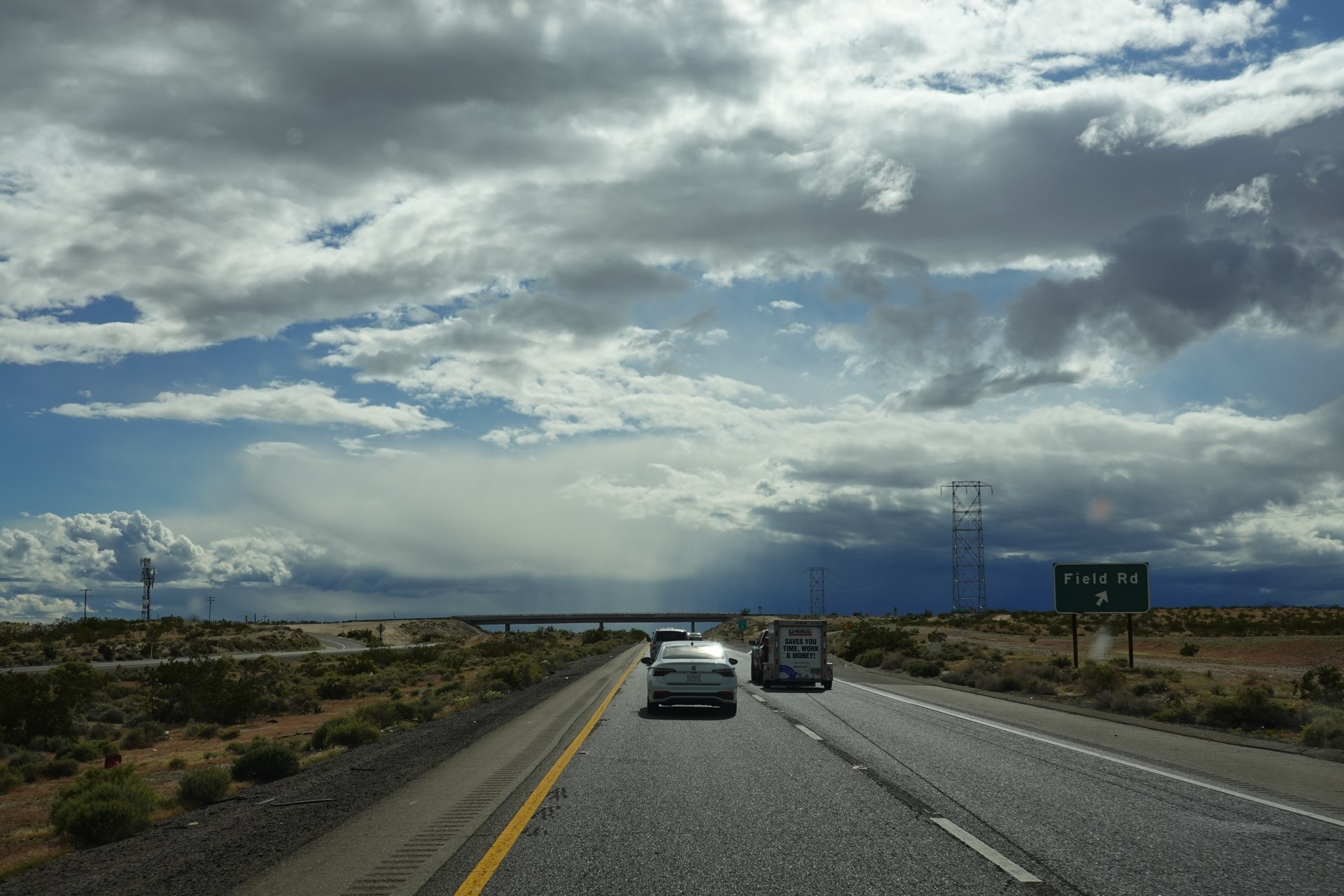
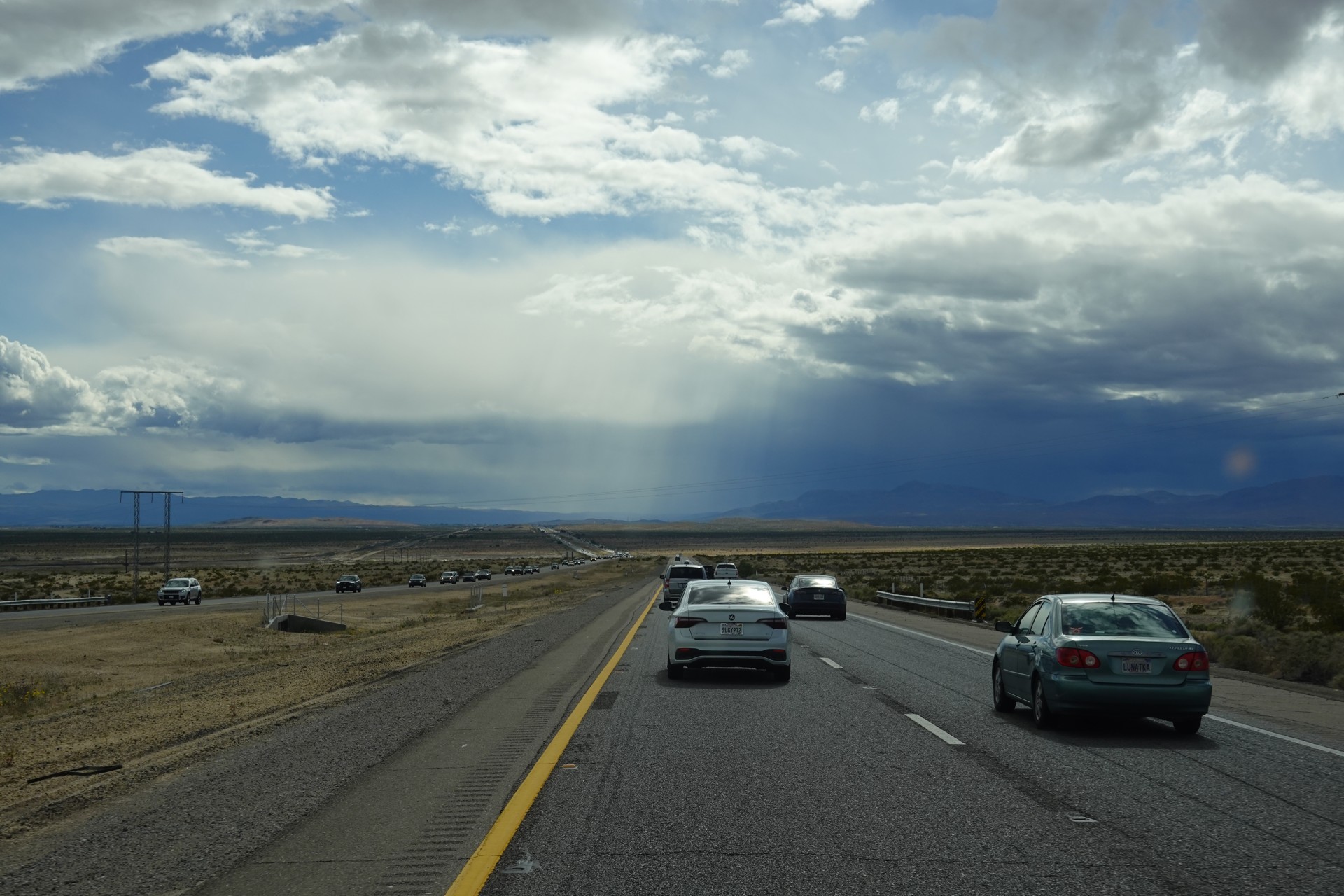
We made it to Baker on time before the rain started - it ranged from strong to torrential between Barstow and Riverside.
My airedale Jules didn't like mad traffic on I-15 a single bit, swaying around for four and a half hours on half-bent legs.