By Peter Matusov
When I saw the trip to Death Valley on LRCSD calendar, I almost forgot having suggested it. It took me a little while to come up with a plan - to have a healthy blend of blacktop, washboard, and rocky waterfalls, as well as of things we've visited in the past and something new for us.
Then, the winter happened. Titus Canyon: closed, no timeline for reopening. Steele Pass: closed, road destroyed by floods, no timeline for reopening. Saline Valley Road - North and South Passes: you guessed it, closed due to mud and rockfall. Darwin Falls Trail - trail is washed out and no longer exists. Old Toll Road to Darwin was destroyed even earlier, which we discovered last fall.
Back to the drawing board, trying to salvage as much of the old plan. The trip sheet finally compiled, submitted, and posted on the website. It is scheduled a little late in the season, though, so it might be on a warm side.
Fast forward a few weeks.
Only four months into the year, and I already broke my new year resolution - never to use Interstate 15 for out-of-town travel - twice.
After killing four hours in bad-to-horrendous traffic, we've turned north on California 127.
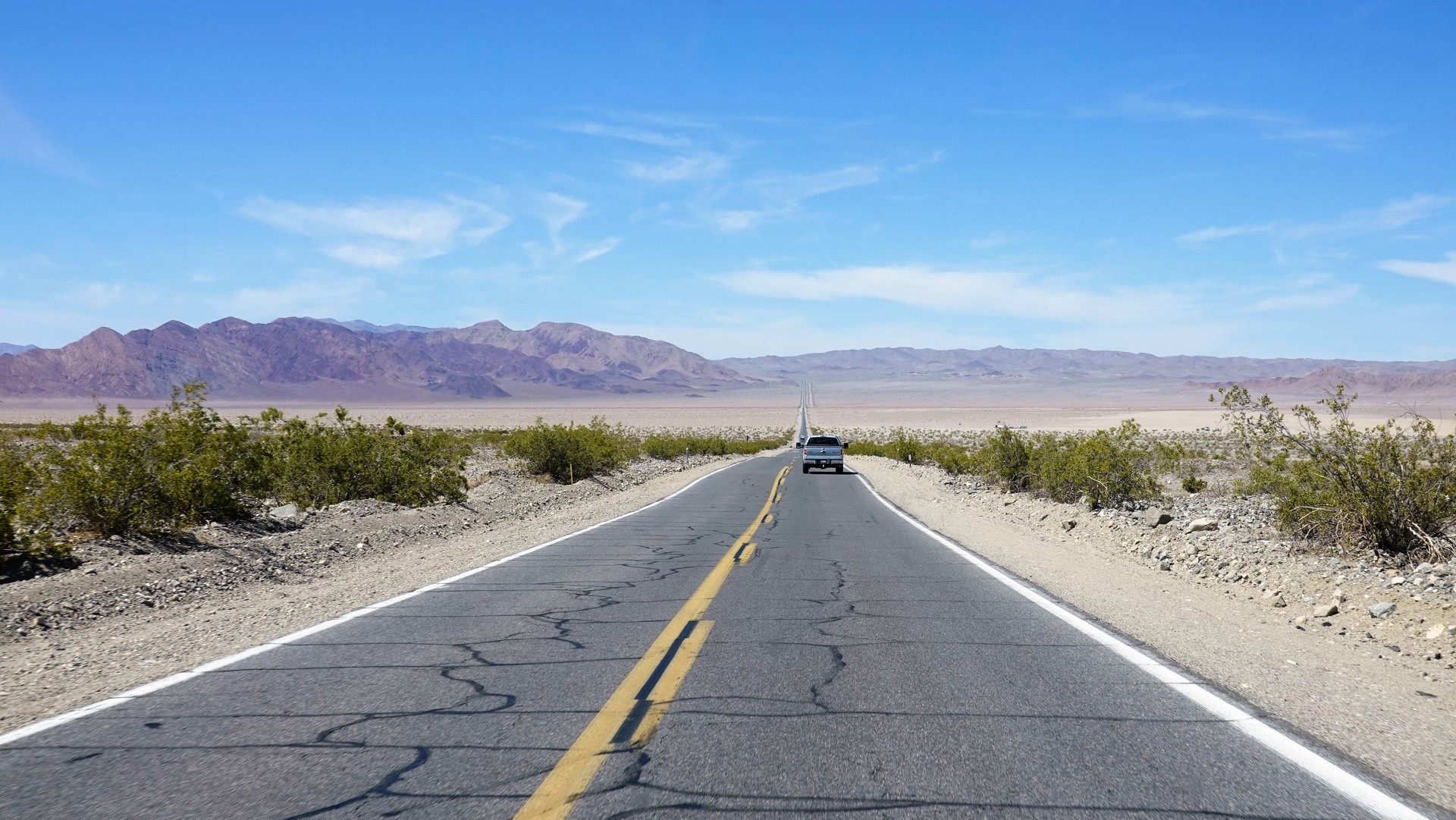
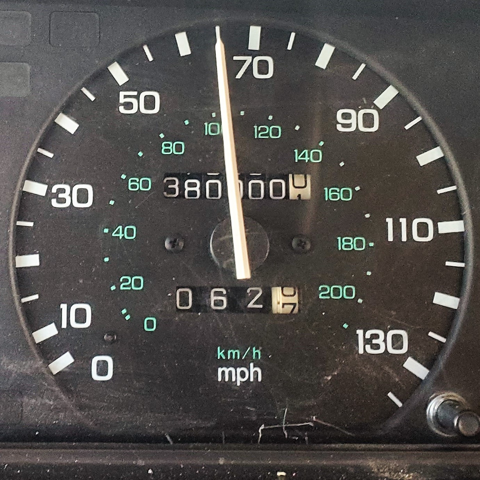
Somewhere along the way, the Classic's odometer rolled over 380 thousand miles:
Dumont Sand dunes and Sperry Creek
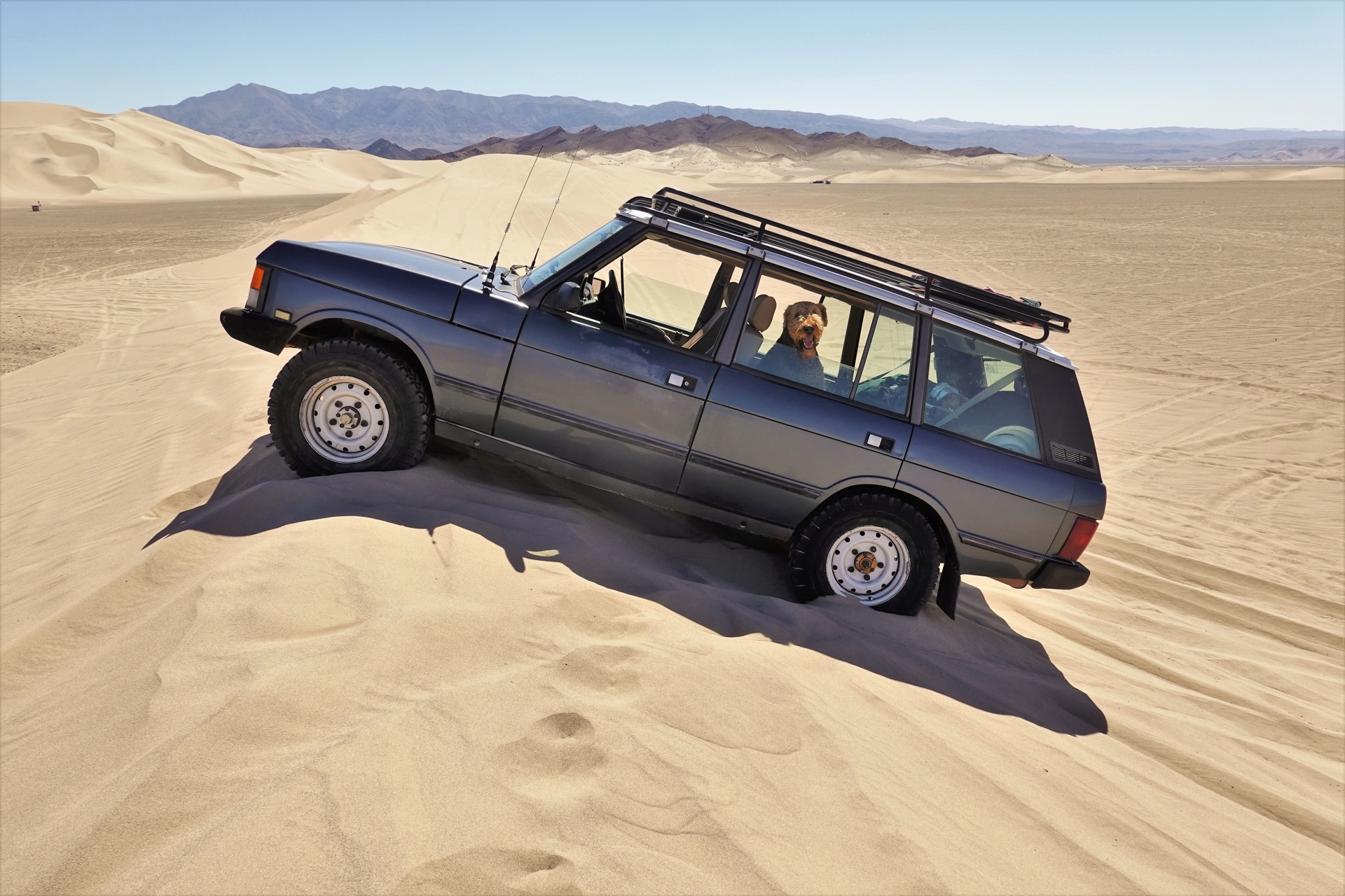
Half an hour into 127, we turn off towards Dumont Sand Dunes.
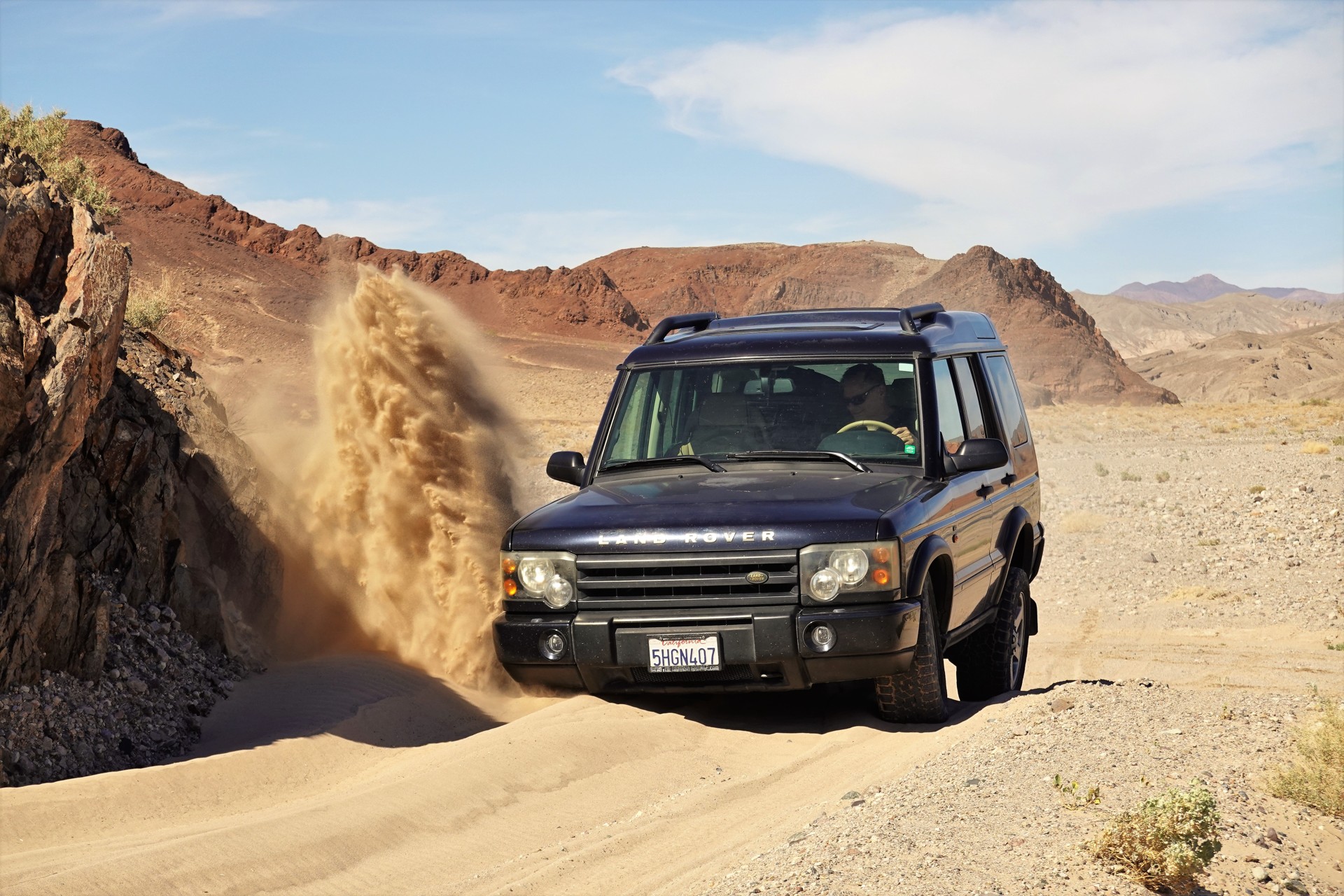
Here's my first attempt at the dune running (in a 6k-lb truck on rock-hard 7.50R16 tires):
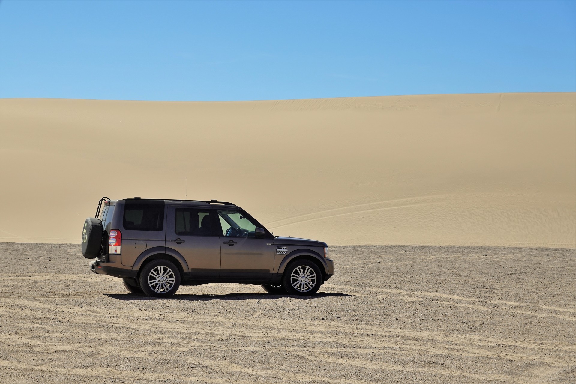
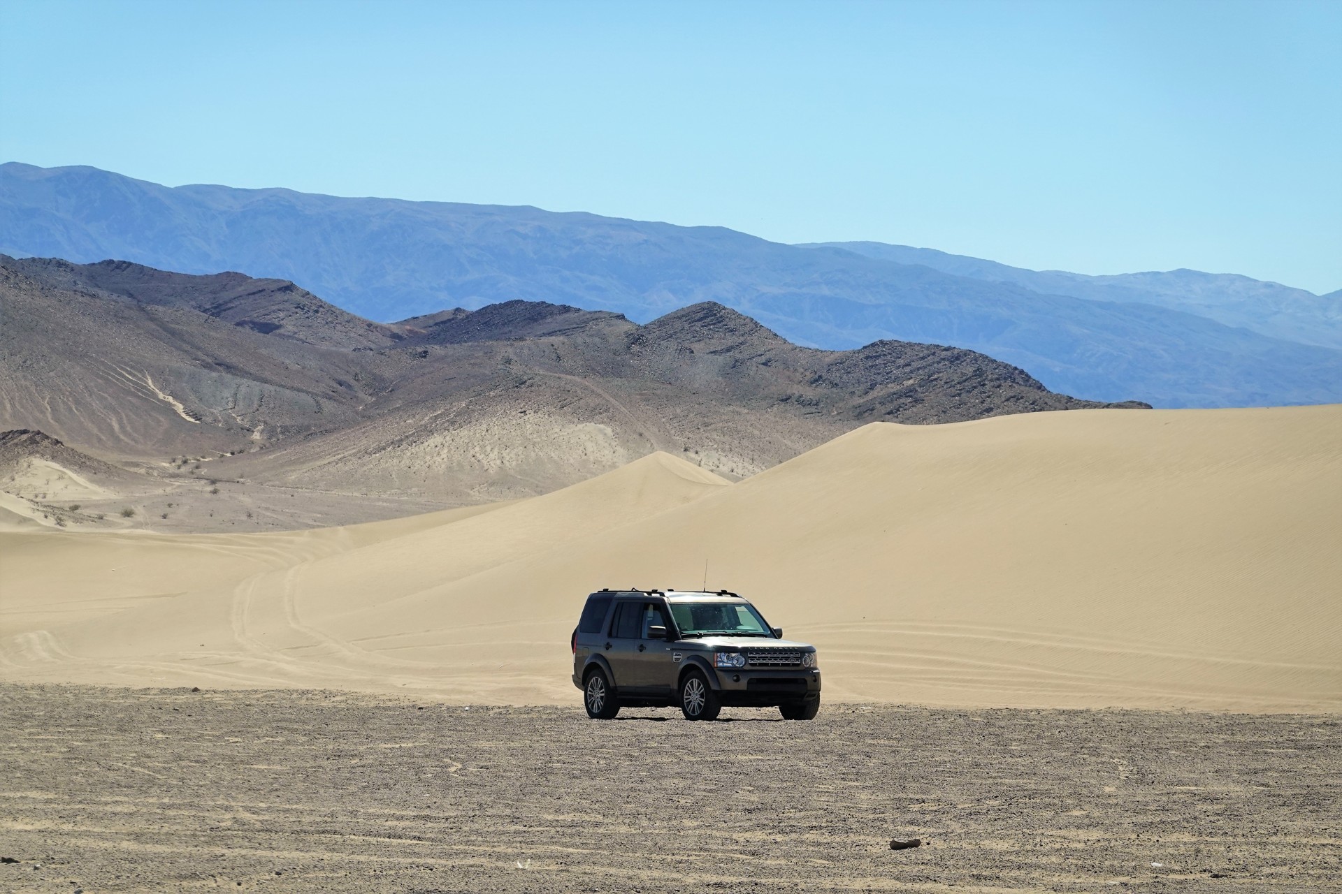
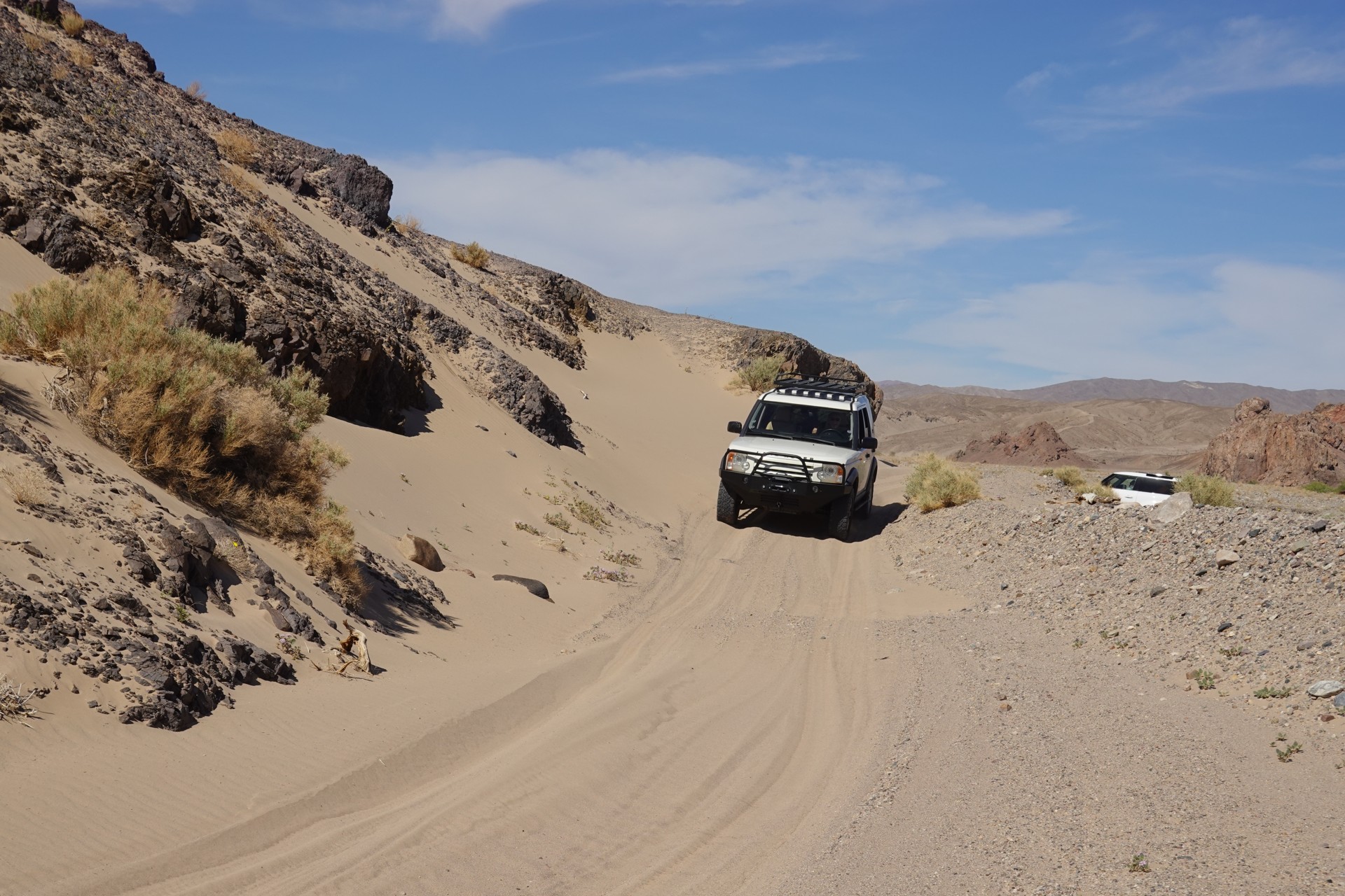
What a Land Rover promotional photo of an LR4 should be:
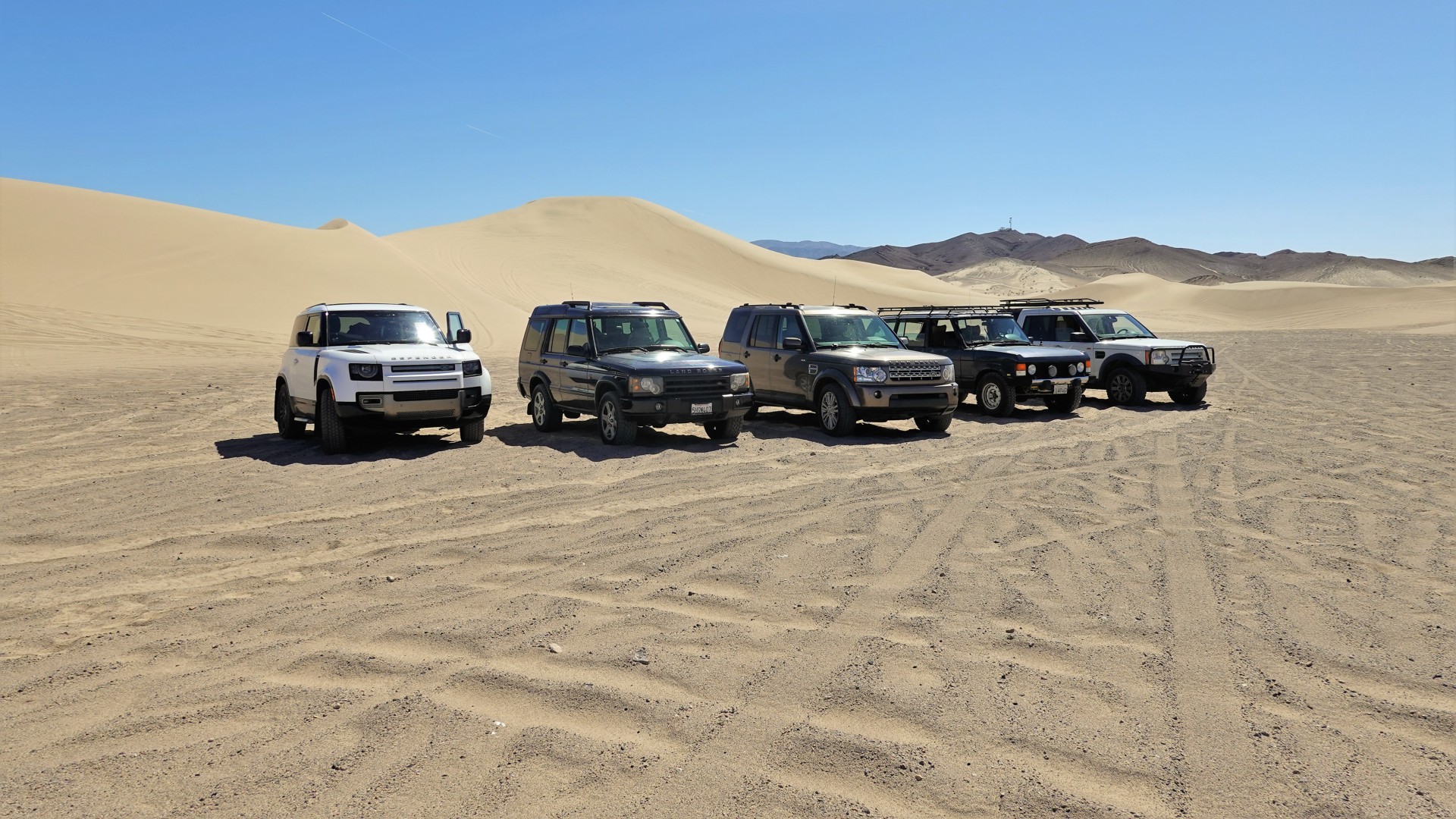
A group photo:
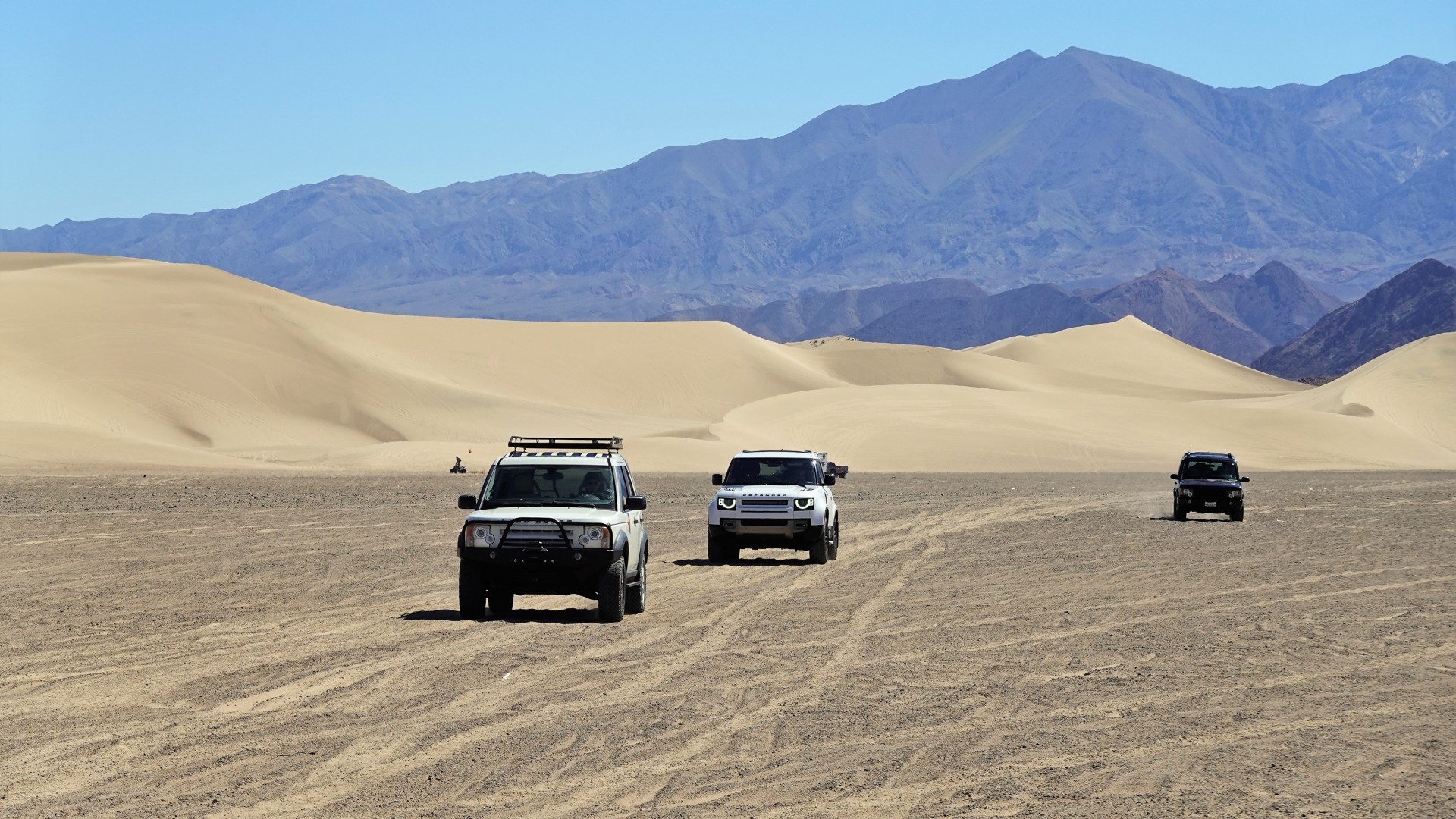
Danny, Bob, and Brian are closing in:
Another promotional photo of an LR4:
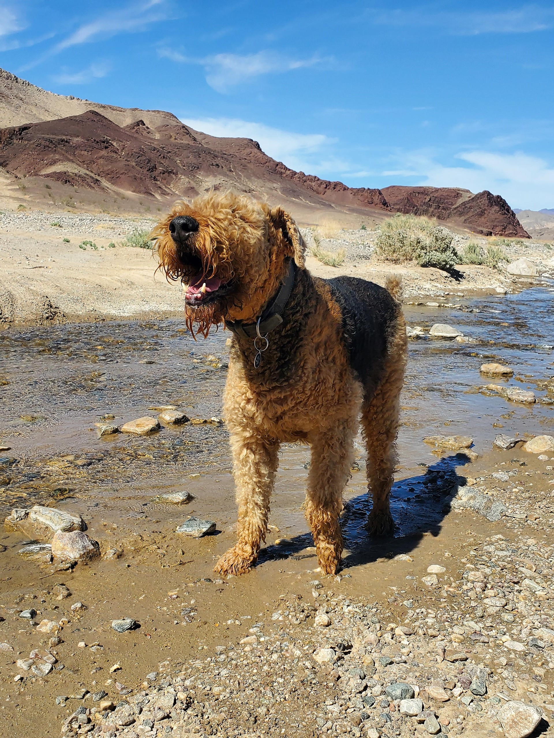
A quick rest stop near Sperry Creek:
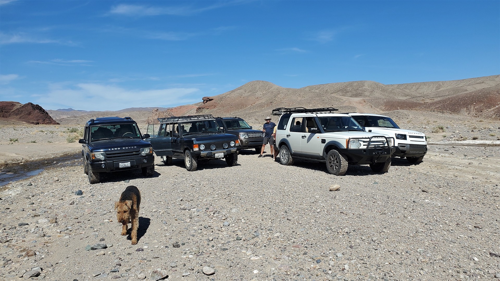
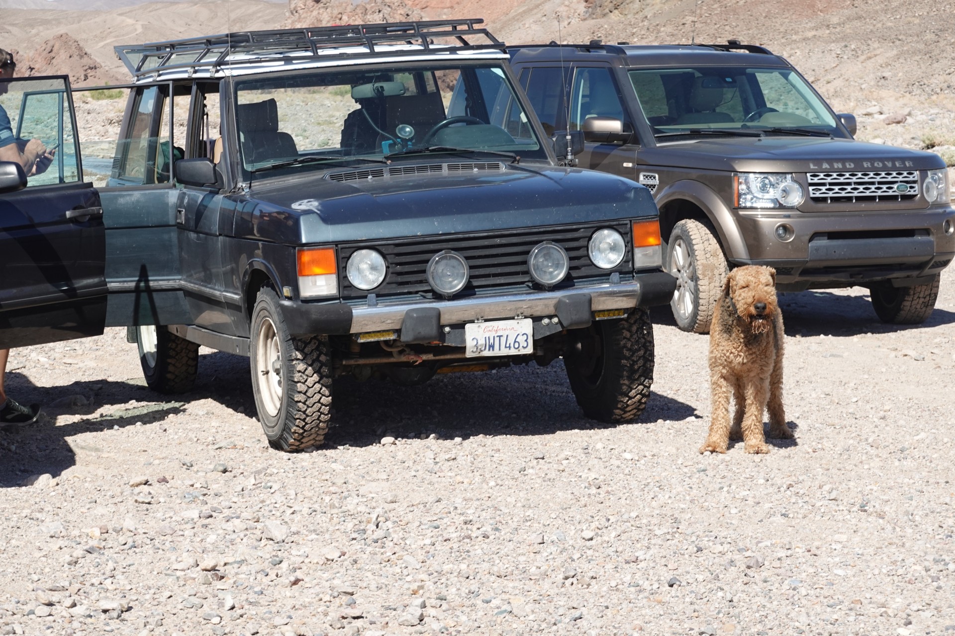
Jules seems to enjoy a break from the bouncy ride:
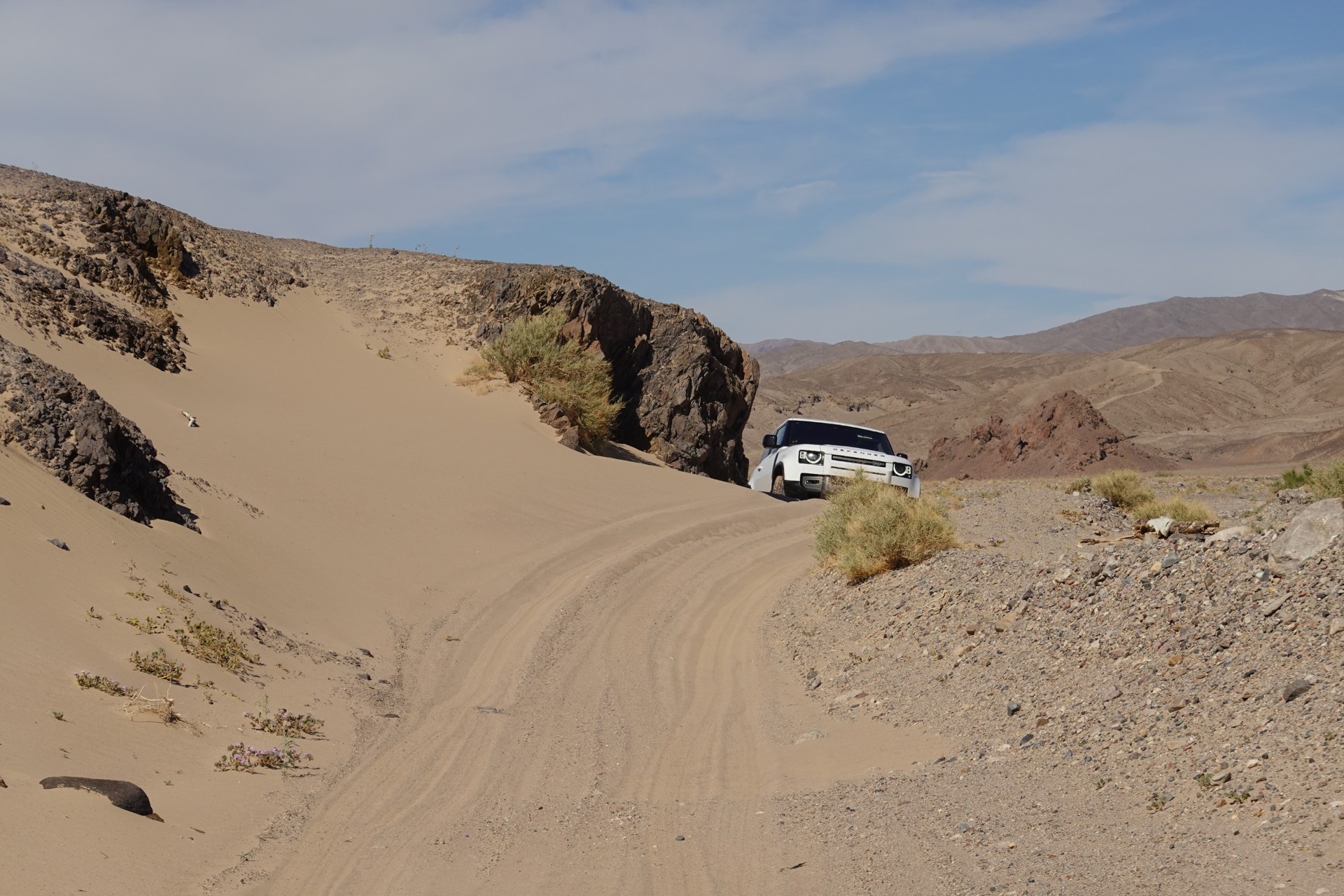
What went down, now must come up (the hill with the deep sand):
Bob's turn to enjoy the magic of a D-90's traction control:
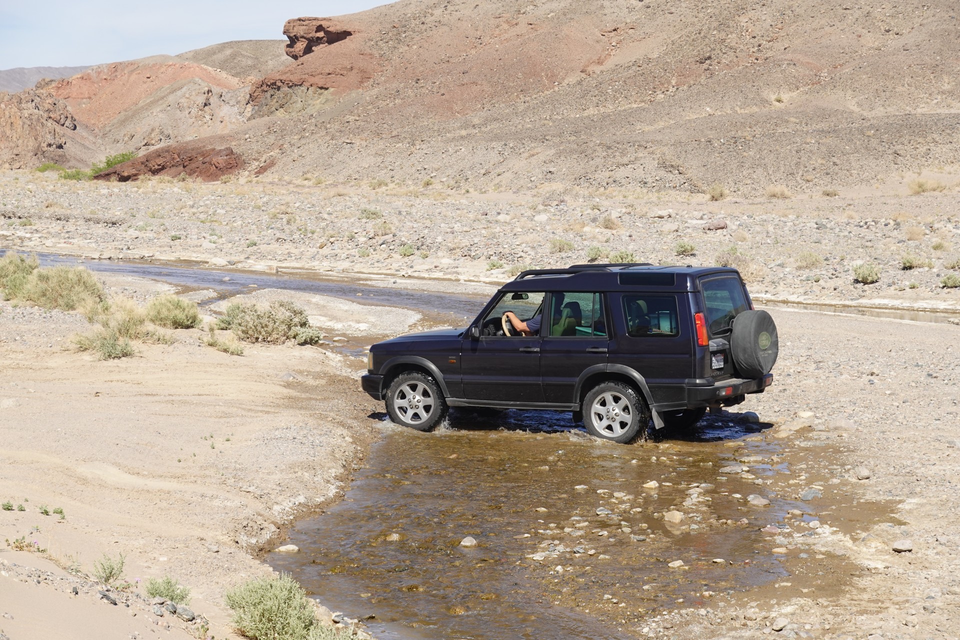
That's as deep a water crossing as we are going to get on this trip:
Brian puts on quite a show:
Amargosa Opera House to Tecopa Hot Springs
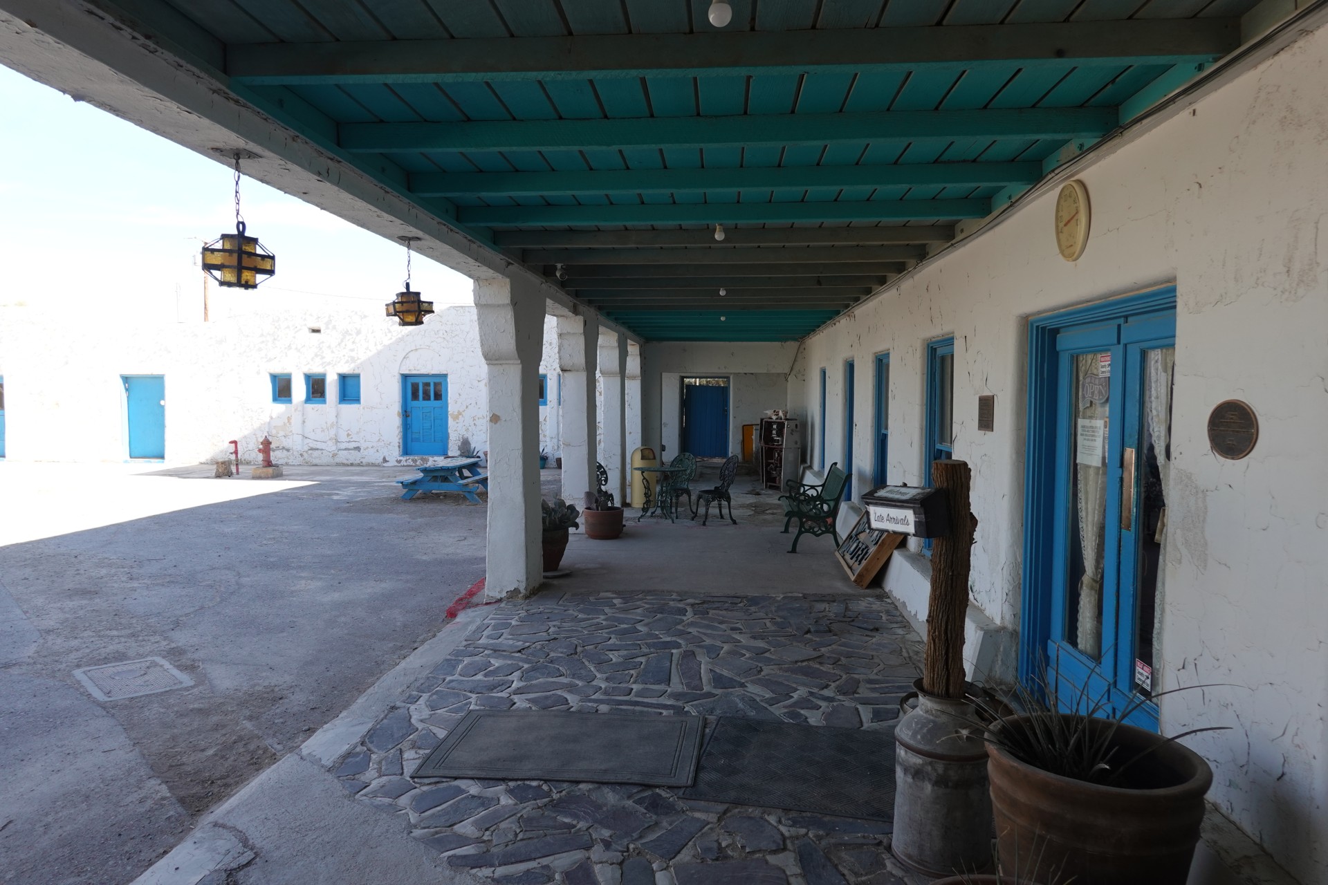
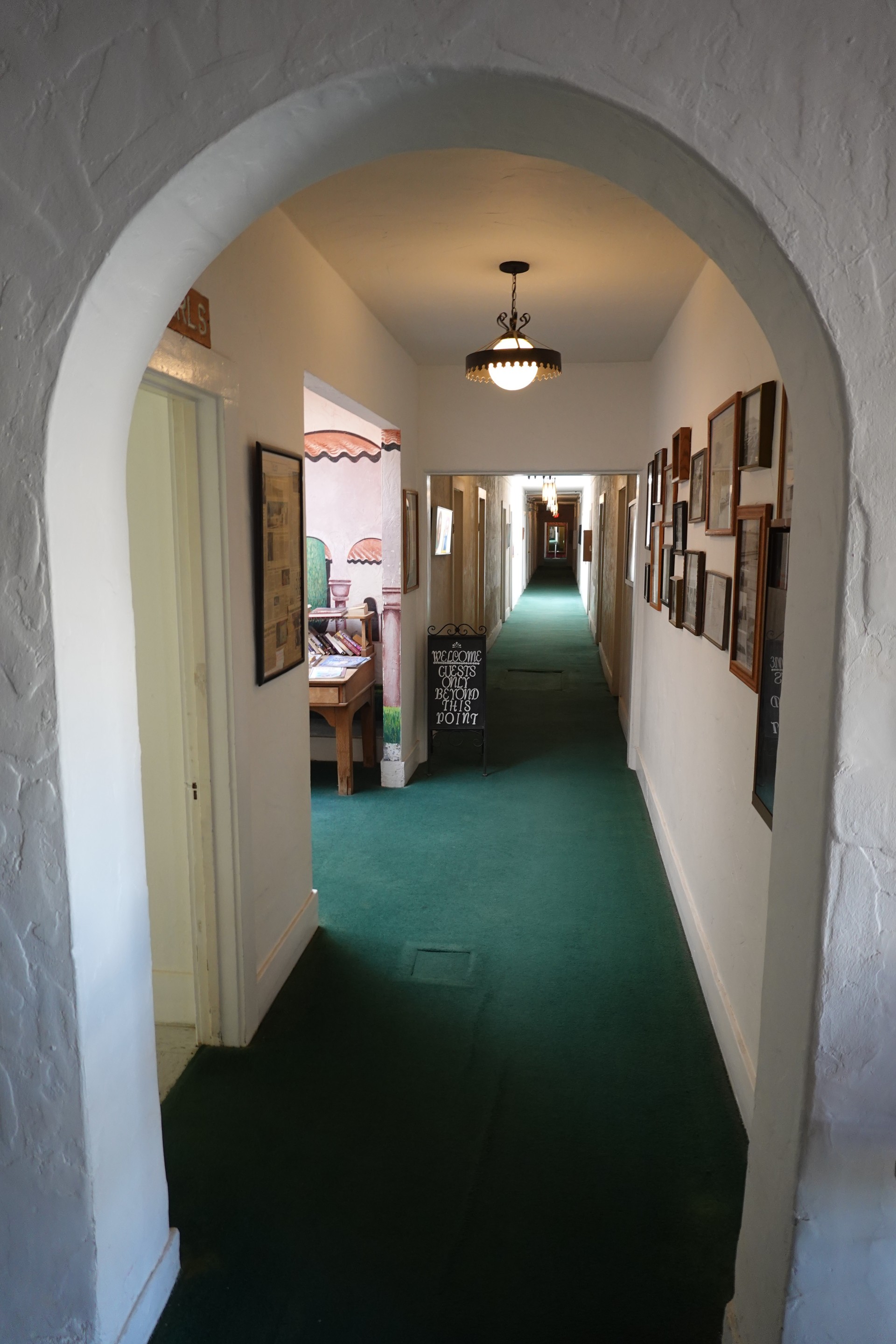
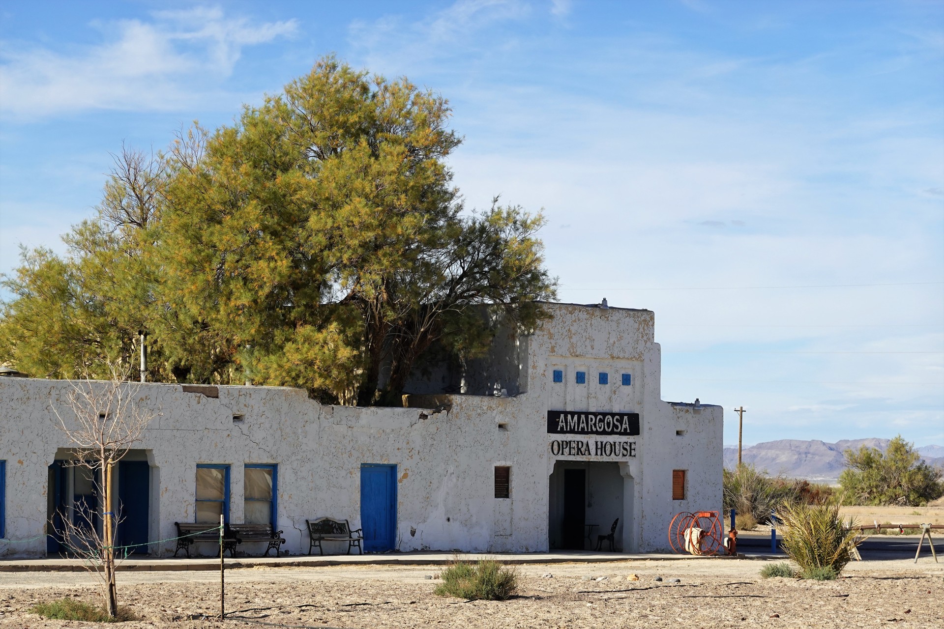
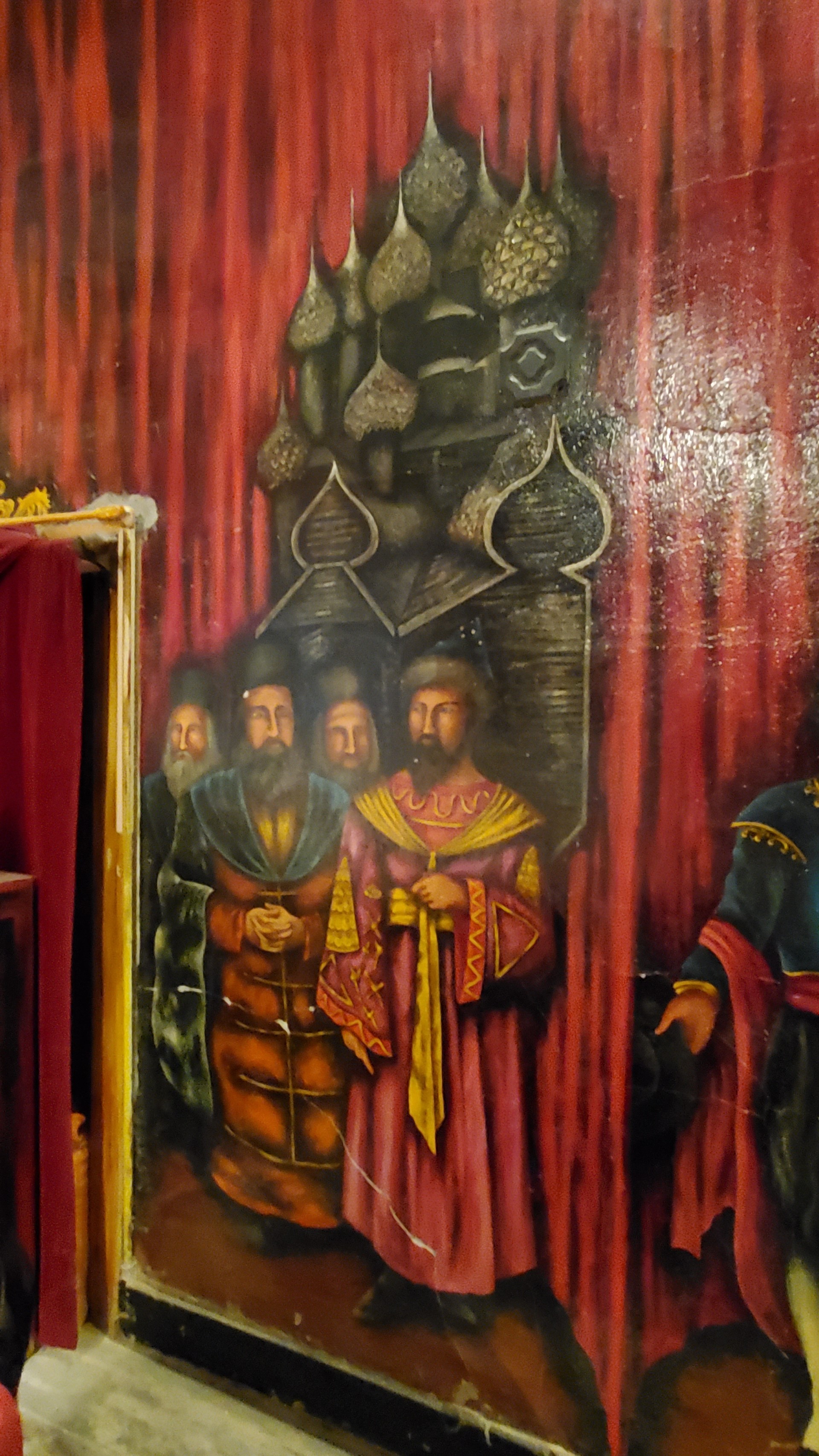
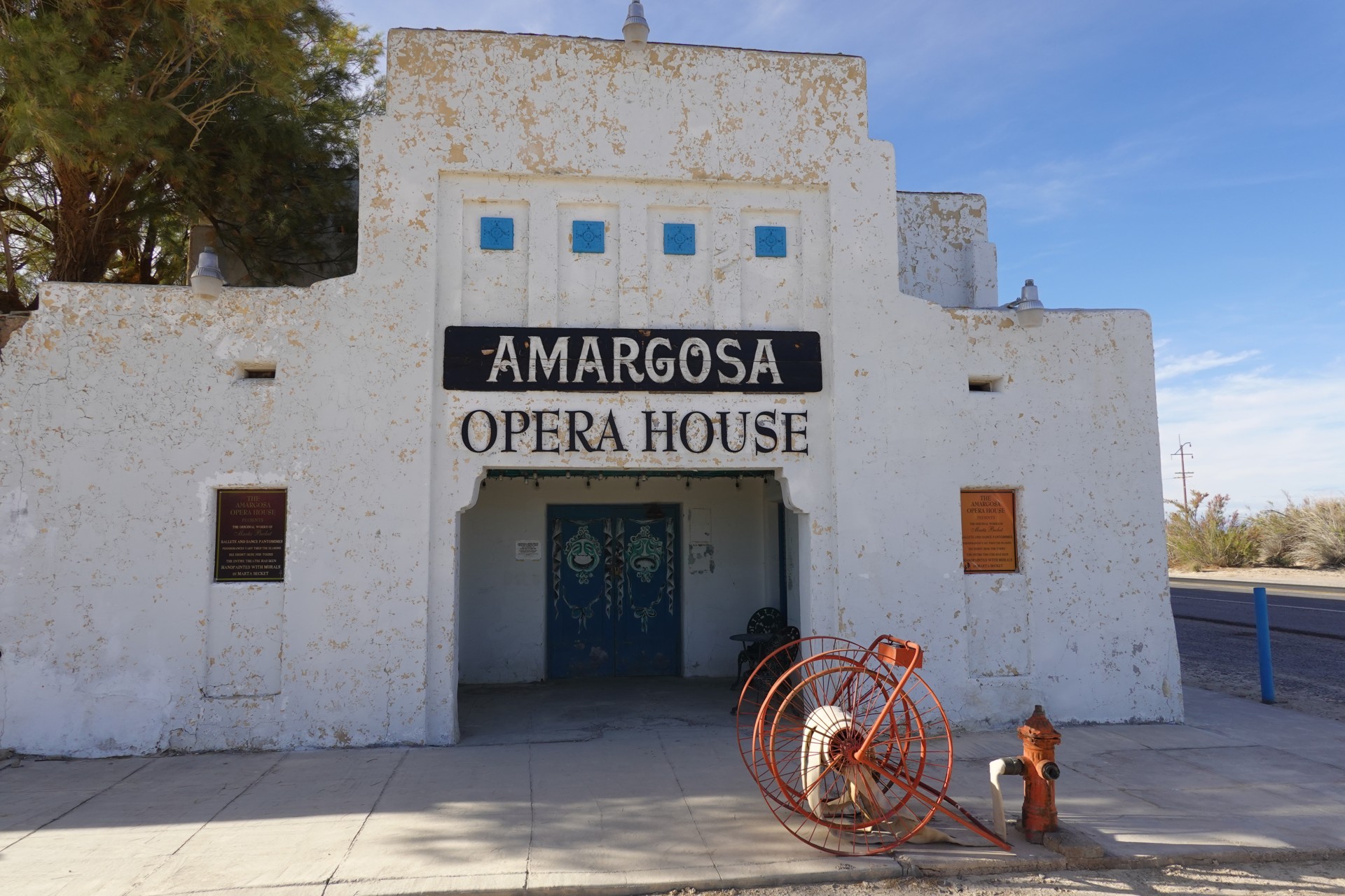
Next on the agenda is something not entirely fitting into a Land Rover trip to the desert - an Opera House. We have to see it while it is still standing.
A lovely lady at the desk gives us a tour of the place.
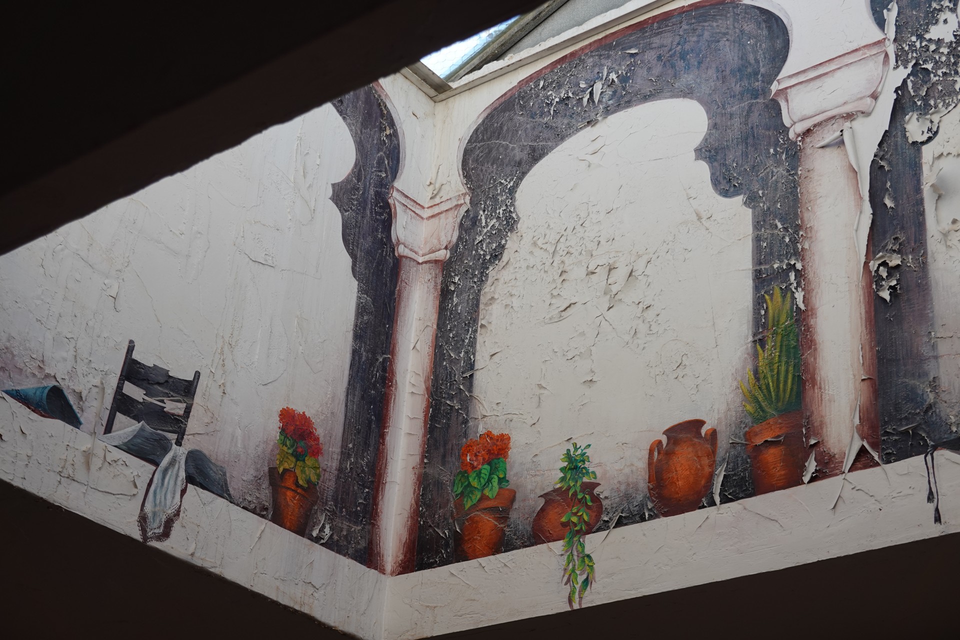
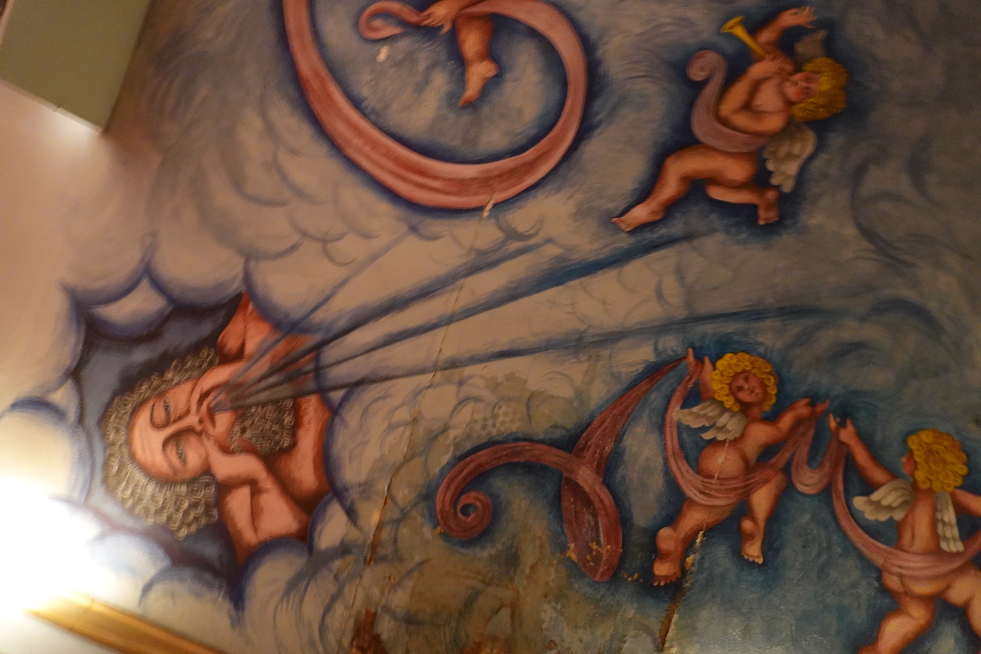
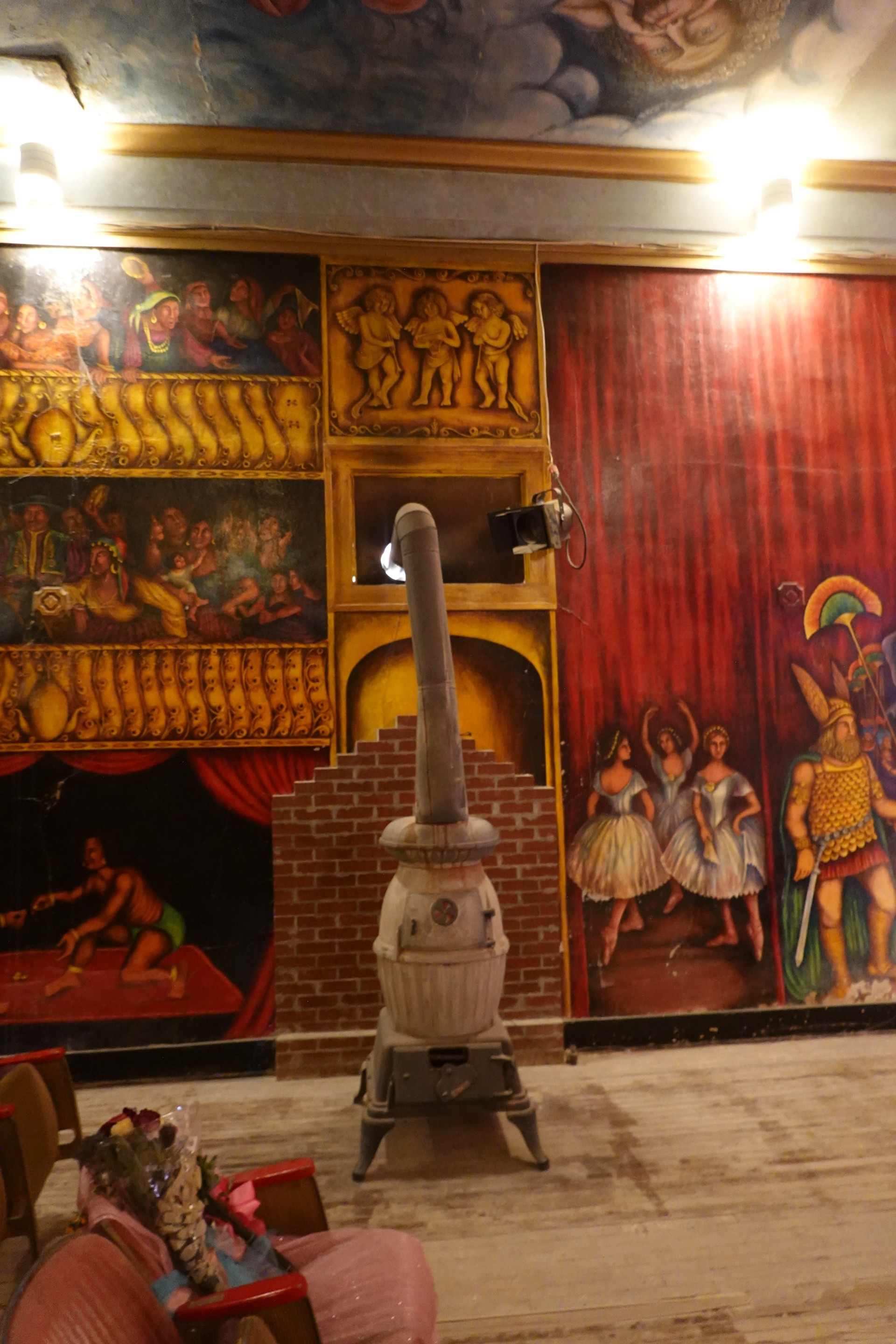
Our guide says all wall decorations and painting were done personaly by Marta Becket - a dancer, singer, and painter from New York city who became fascinated with the Amargosa Valley and former town hall in Death Valley Junction (Shoshone), and moved to the desert forever. All it took is an accidental flat tire.
The former town hall - known as Corkhill Hall - was part of Pacific Coast Borax Company town, designed by Alexander Hamilton McCulloch and built in 1923-1924. Marta and her husband rented the hall, completely restored it, and renamed Amargosa Opera House in 1967.
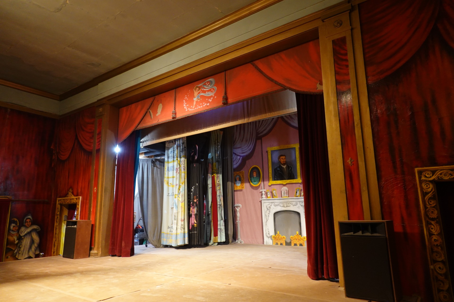
Martha Becket performed on this very stage for three years almost entirely without any audience, until she was discovered by National Geographics journalists, and made her way to a feature in Life magazine and somewhat of an international fame.
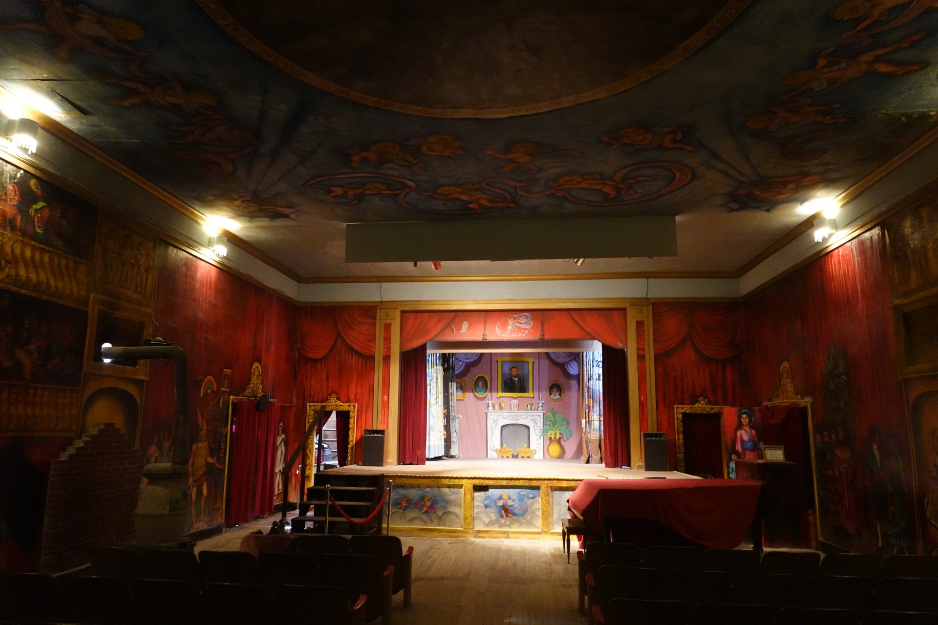
Months and years of performing in front of an empty hall convinced the fearless lady to just paint the audience on the walls of the theater.
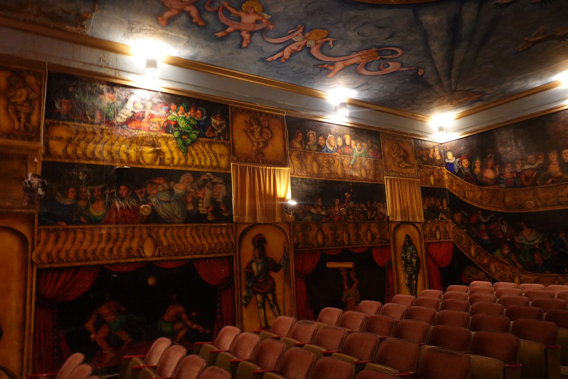

Ms. Becket carried out weekly performances until her final show in February of 2012 - a good 45-year run. She passed away in January of 2017 in her home in Death Valley Junction, California, aged 92.
The Opera House is a part of Amargosa Hotel, and can be accessed during daily guided tours.
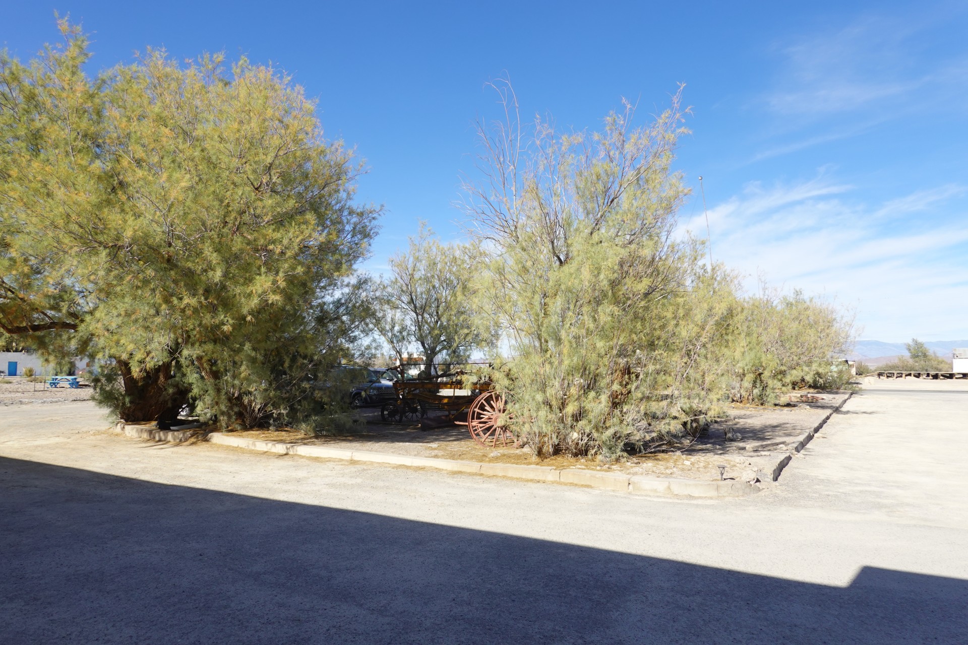
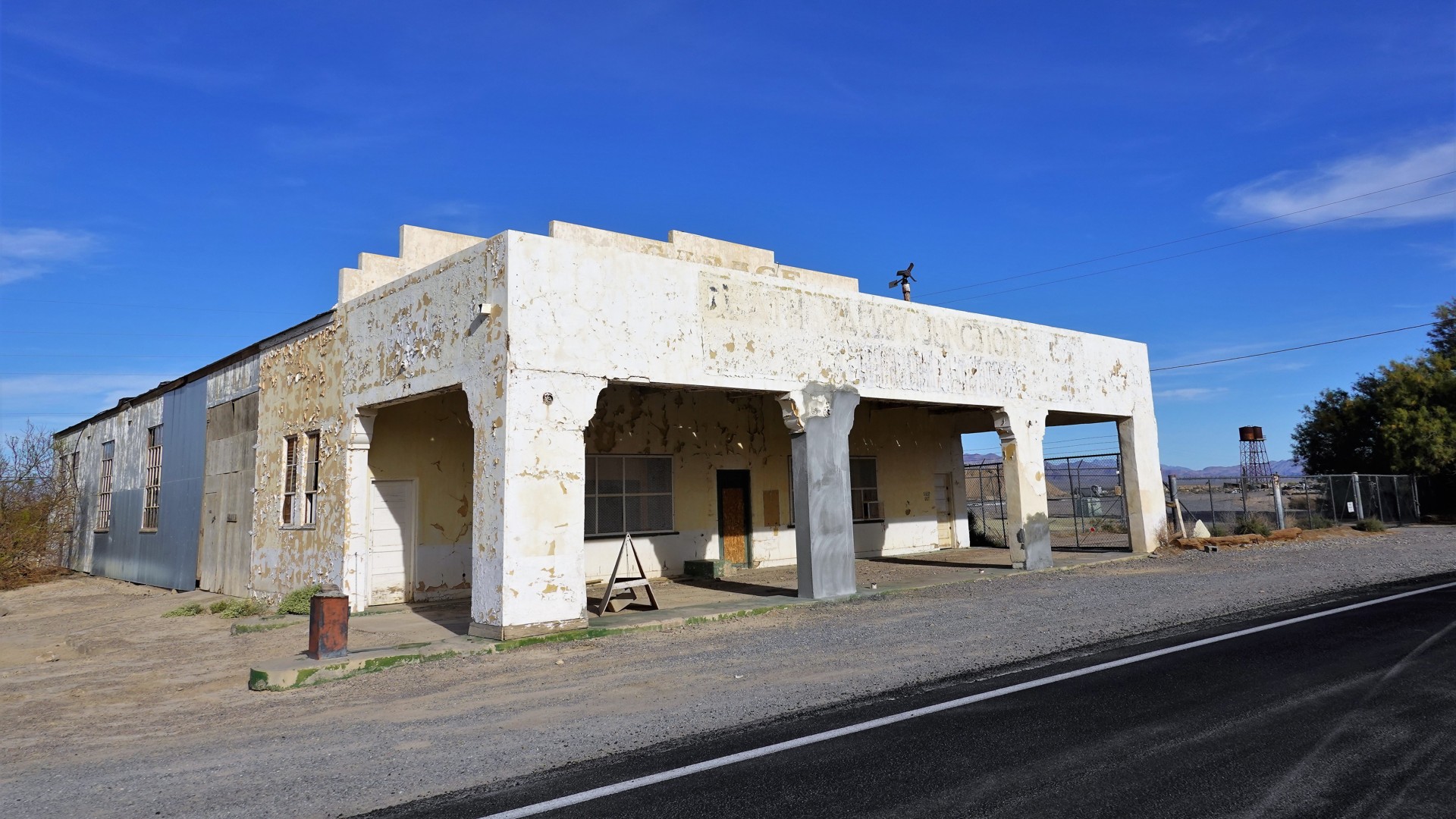
The garage - probably the one that repaired the flat tire on Becket's car in 1967 - is also left to the elements.
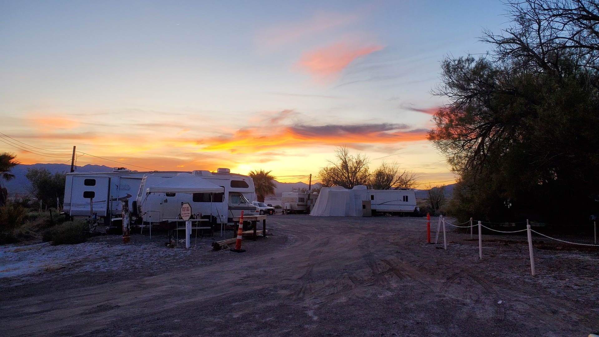
After our tour of the Opera House, we retraced our route south on 127 to the turn-off to Tecopa - a little town with many hot springs.
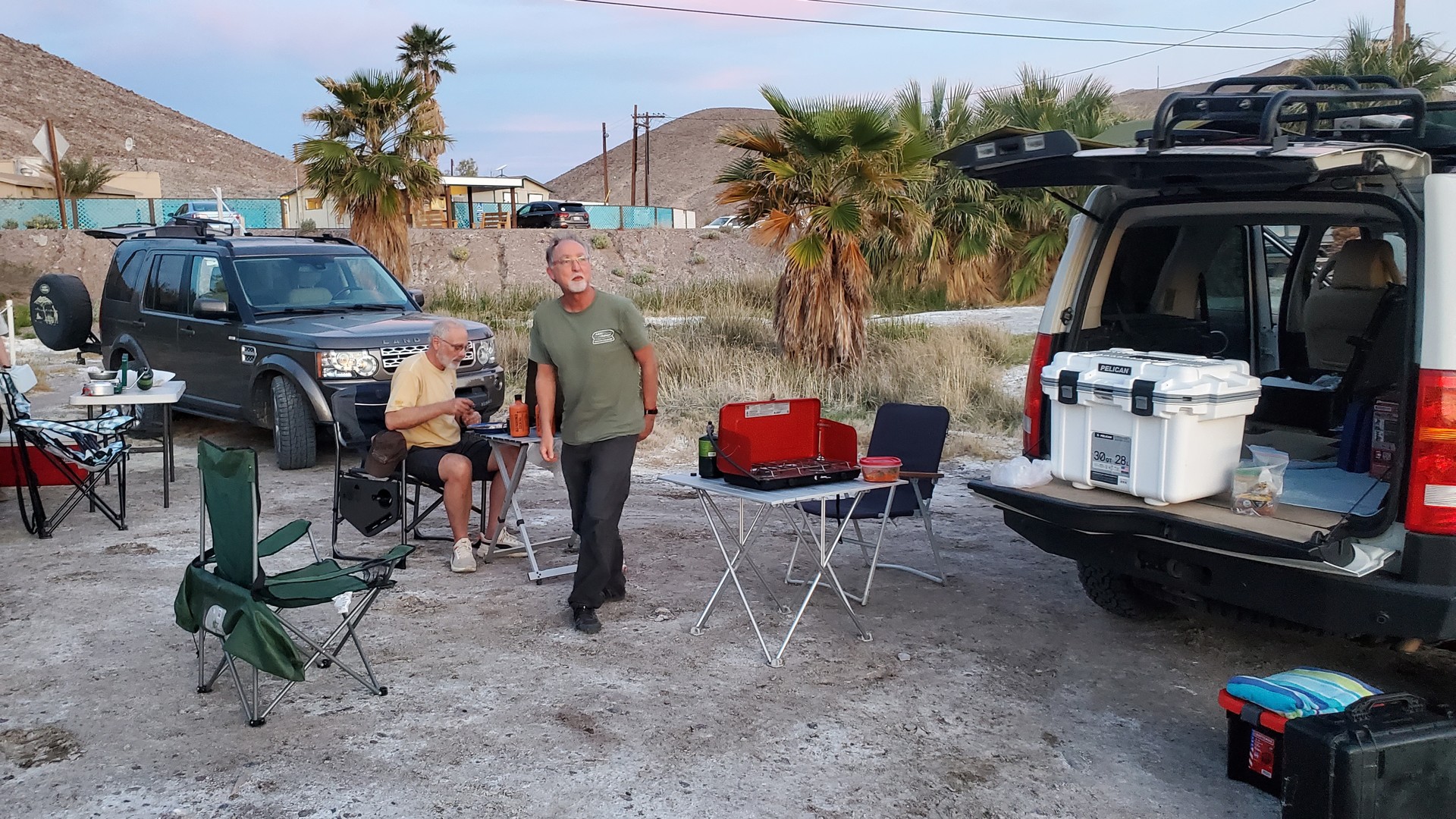
Knowing nothing about it, I planned a stop at a campground that offered hot baths. I still have mixed feelings about the place - it is a very typical desert campground, clean but mostly void of vegetation and shade. The tent camping area is also adjacent to the road with the only stop sign in town, which amuses the side-by-side drivers to no end.
We only got to the hot springs in the morning - and it was a pure bliss.
Badwater and Artists' Drive
Since some of us have never been to Death Valley proper - Badwater - we had to see it.
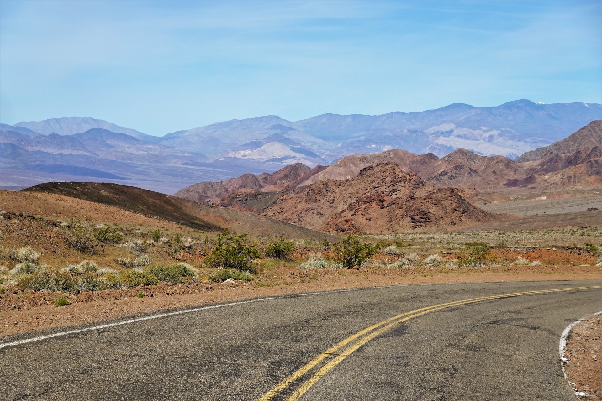
We fueled up in Shoshone (Death Valley Junction), bought more water and firewood, and headed west on California SR 178.
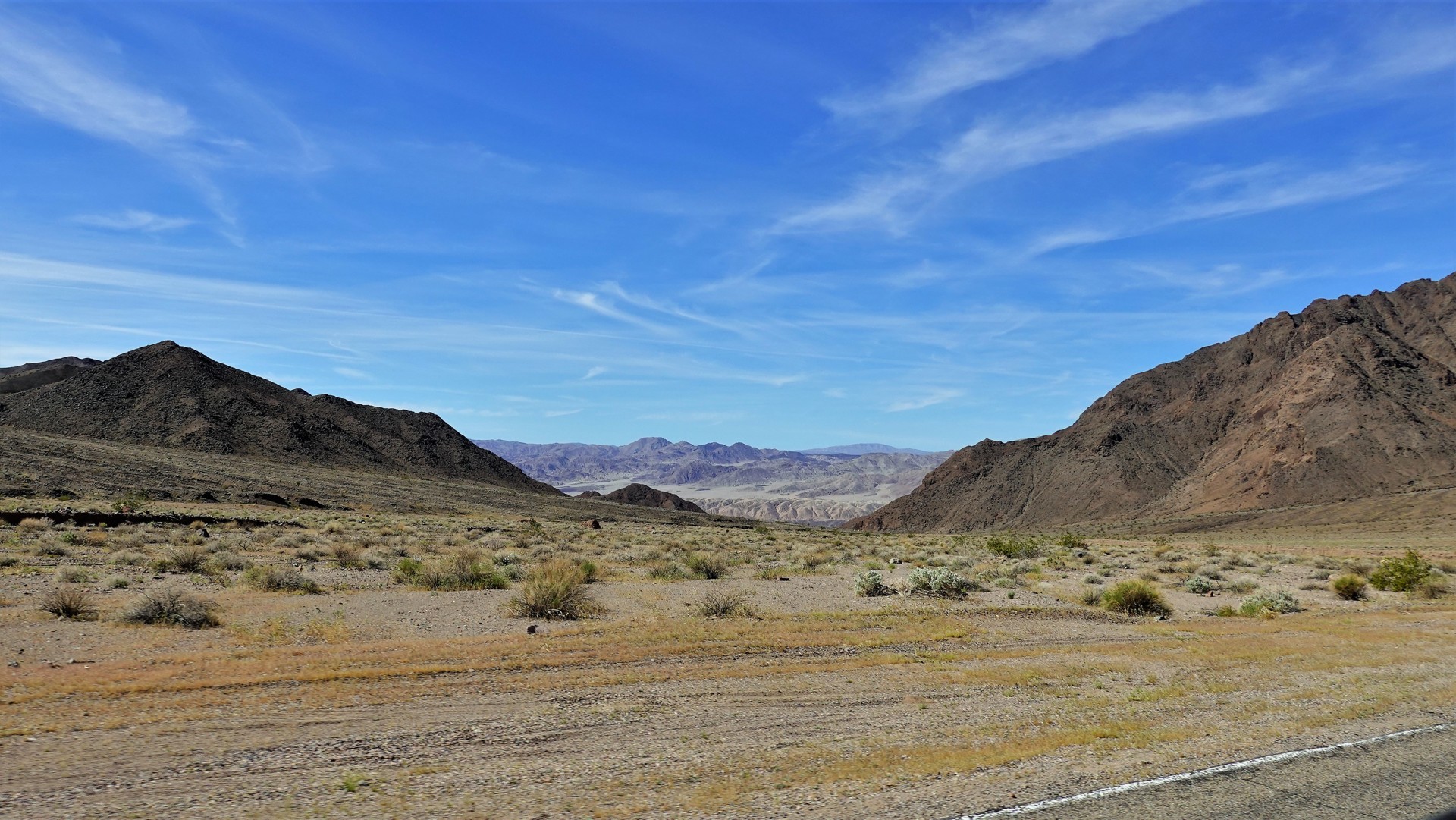
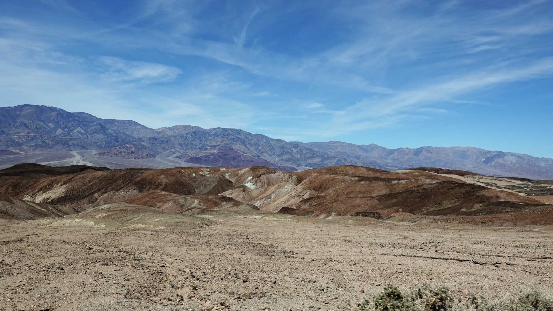
The road takes us over a nearly 3300-foot pass before dropping into the valley with the lowest elevation in North America - 282 feet below sea level.
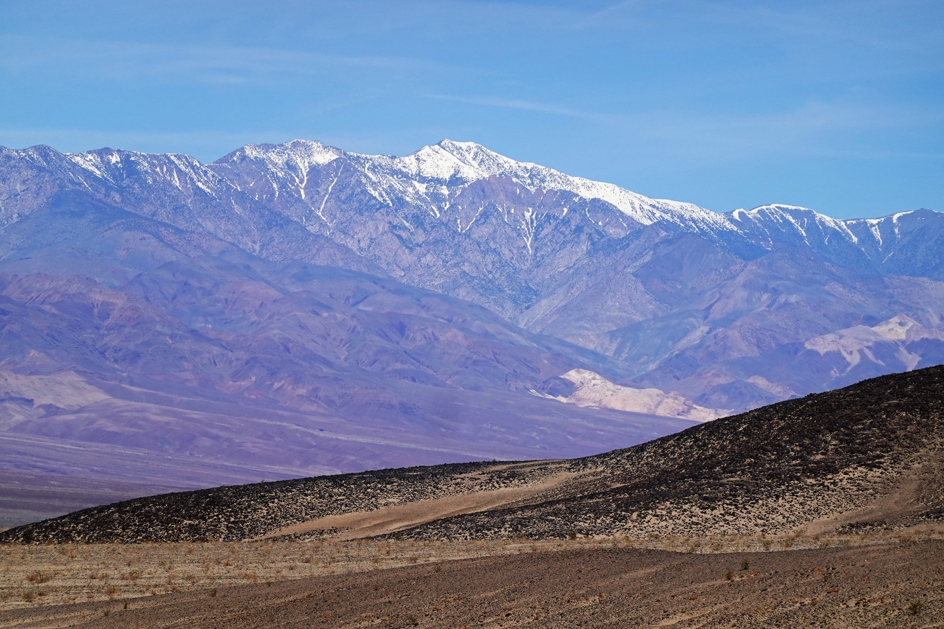
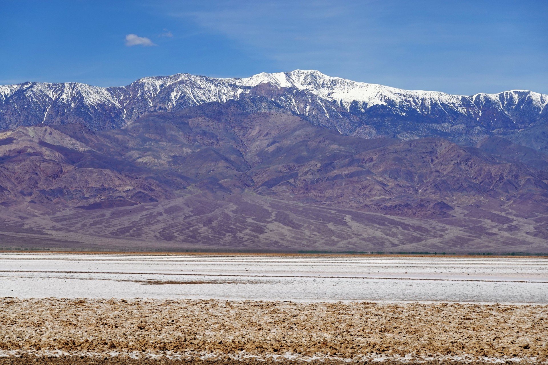
The snow-capped Telescope Peak looks gorgeous from Badwater Basin, some 11,313 feet below.
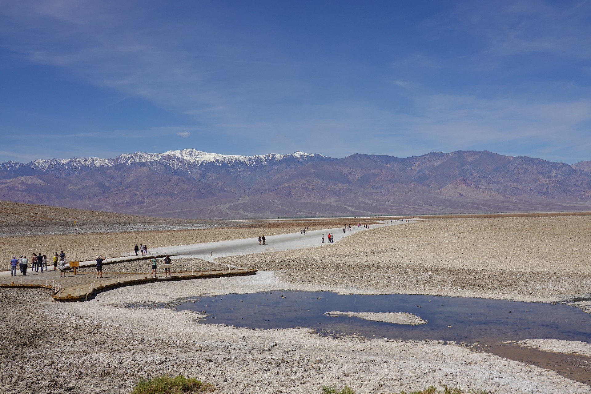
While my friends take a walk across the salt flats, I use the time to attend to Jules' thirst.

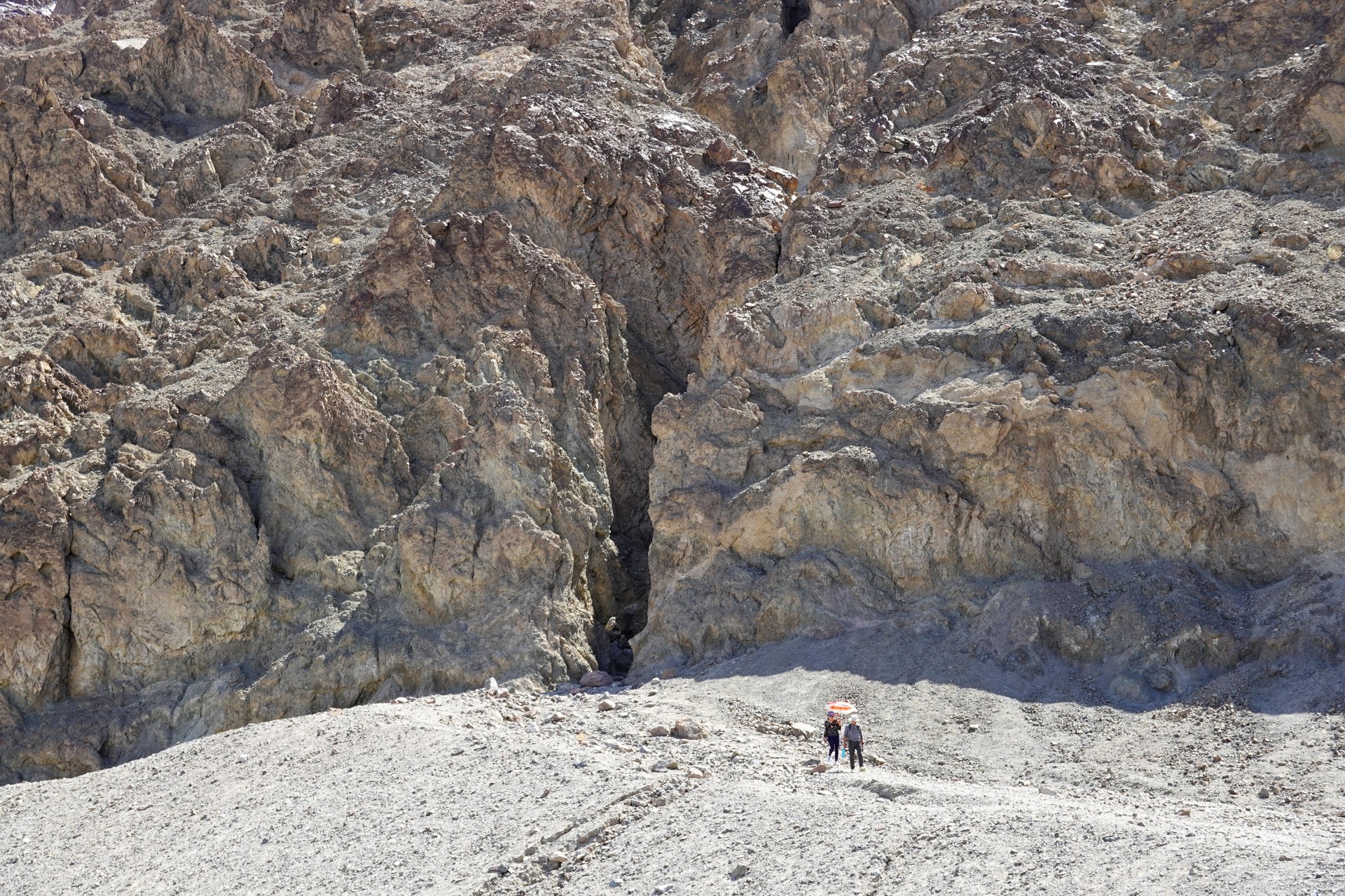
It is already too hot to take a hike into the slot canyon across the road.
Our next destination - Artists Drive.
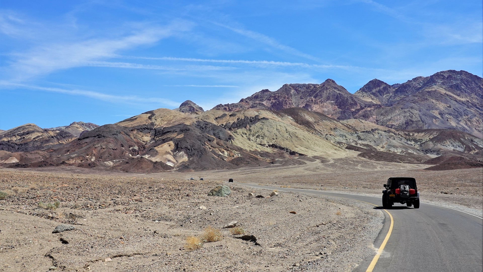
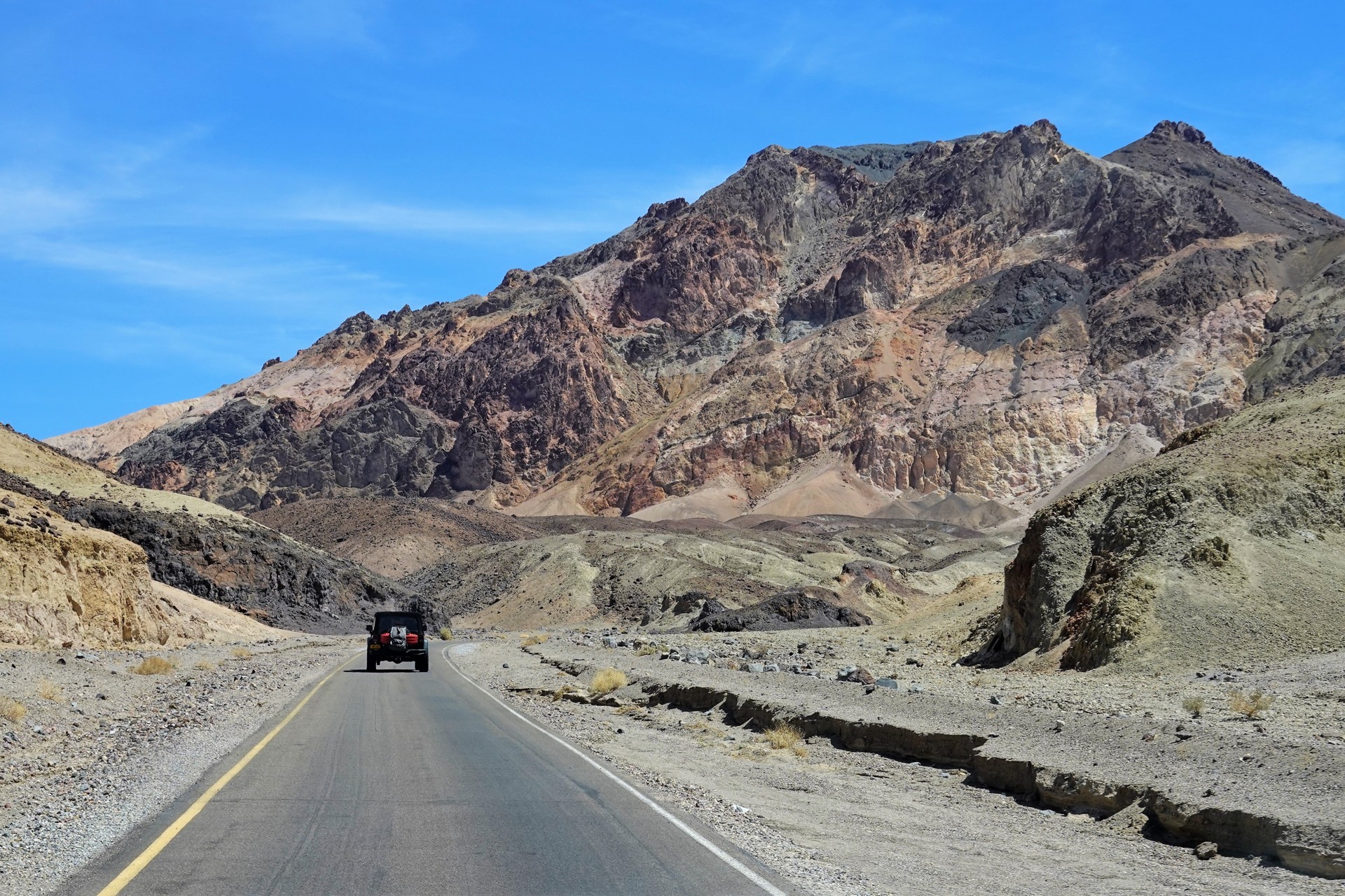
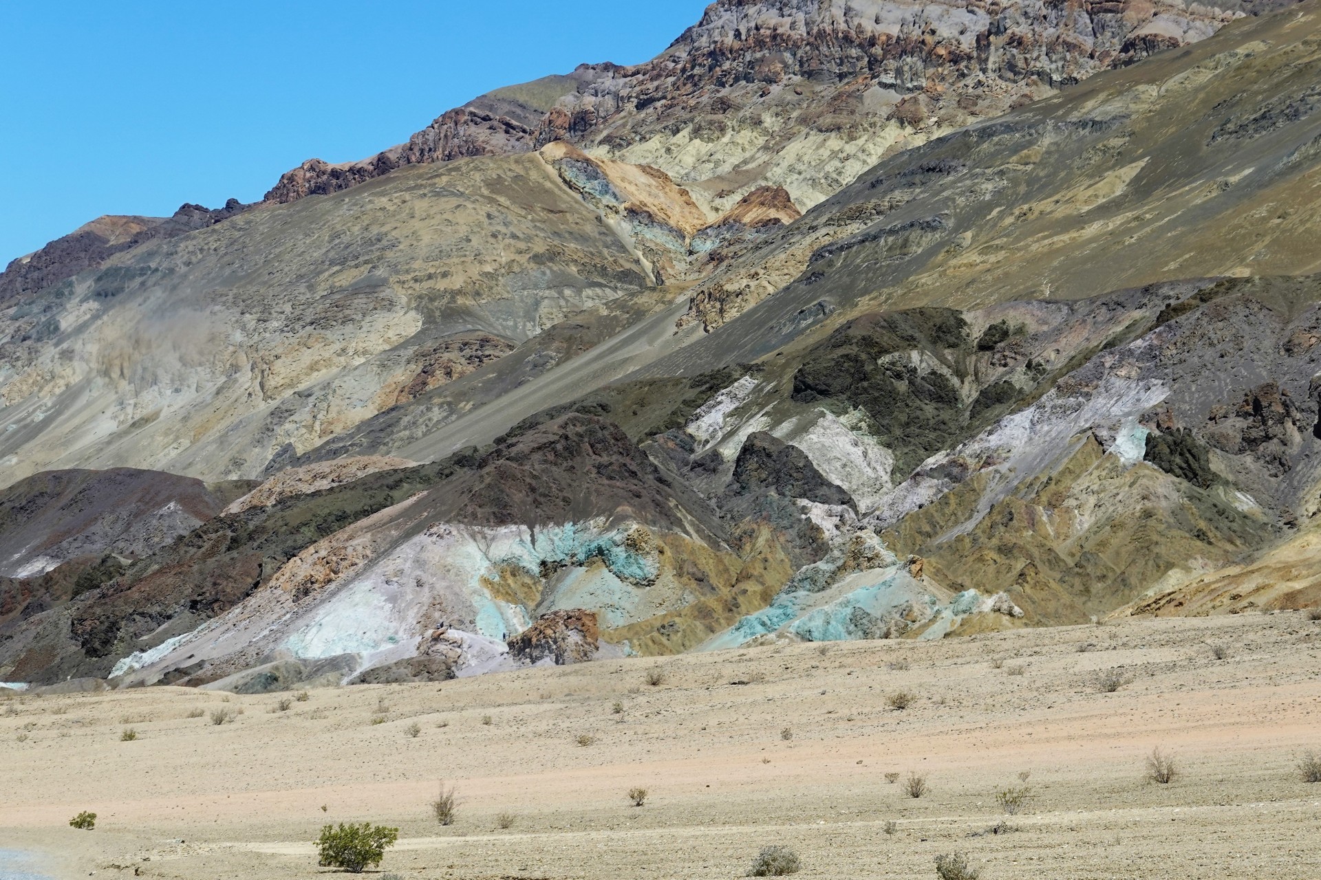
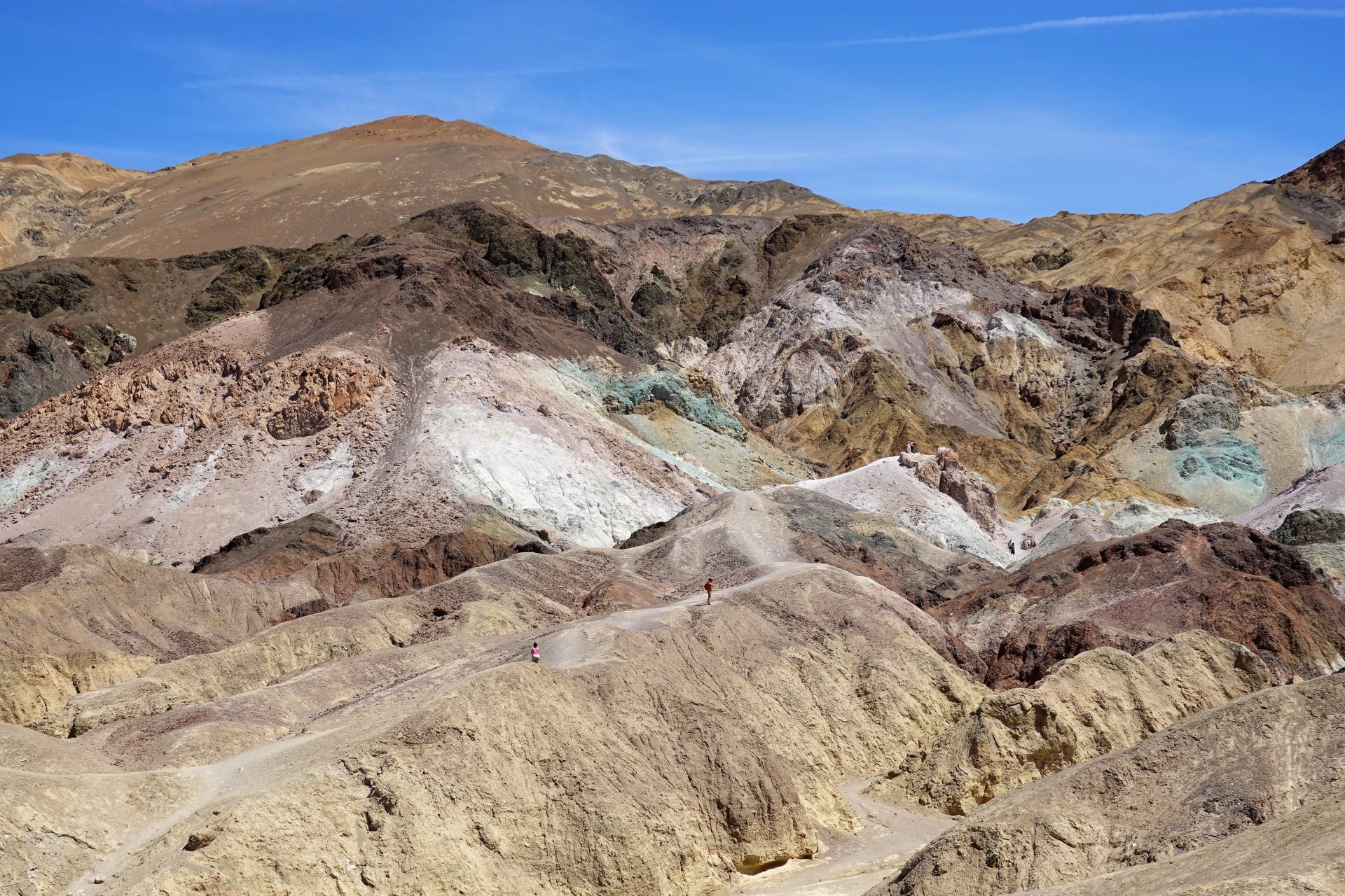
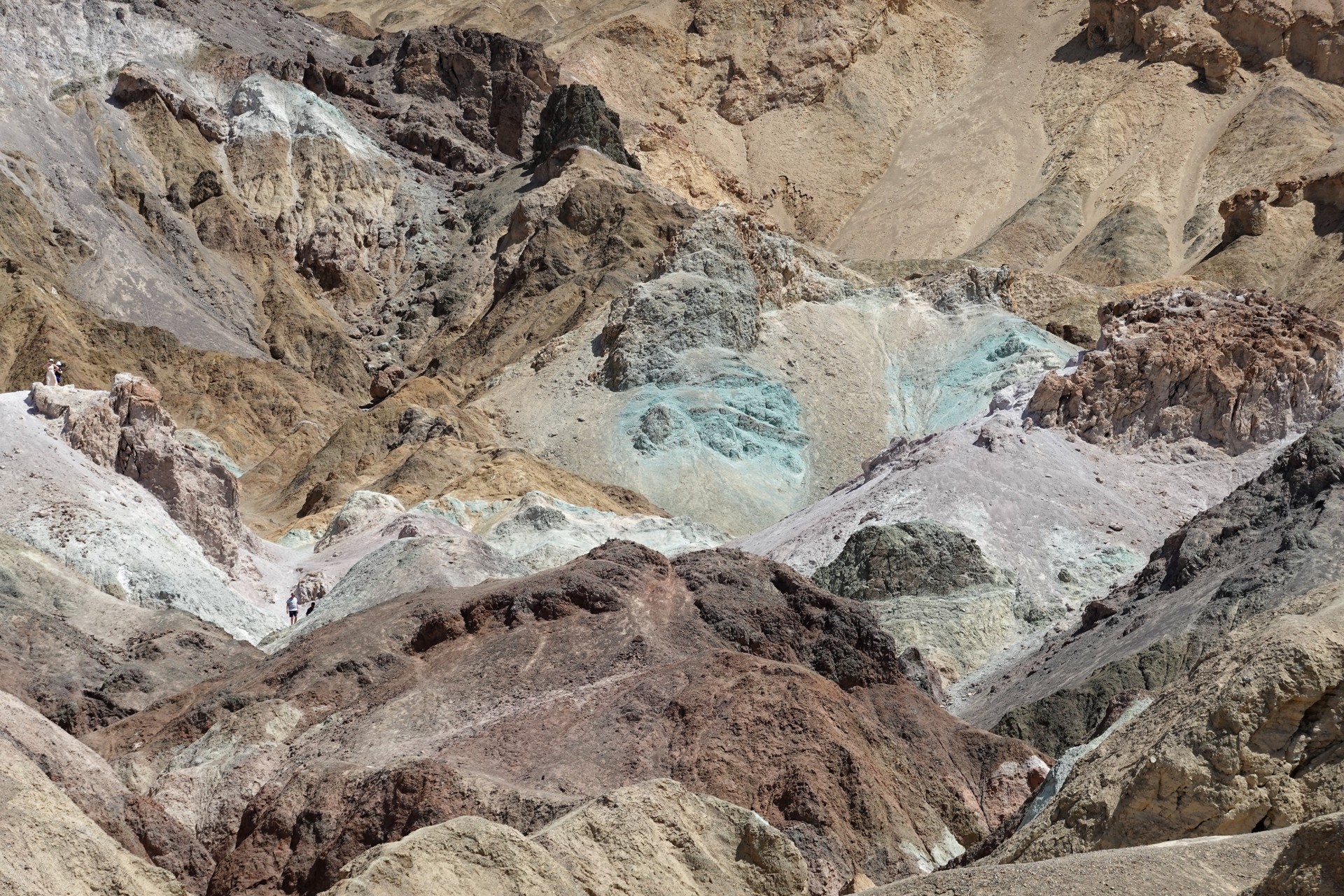
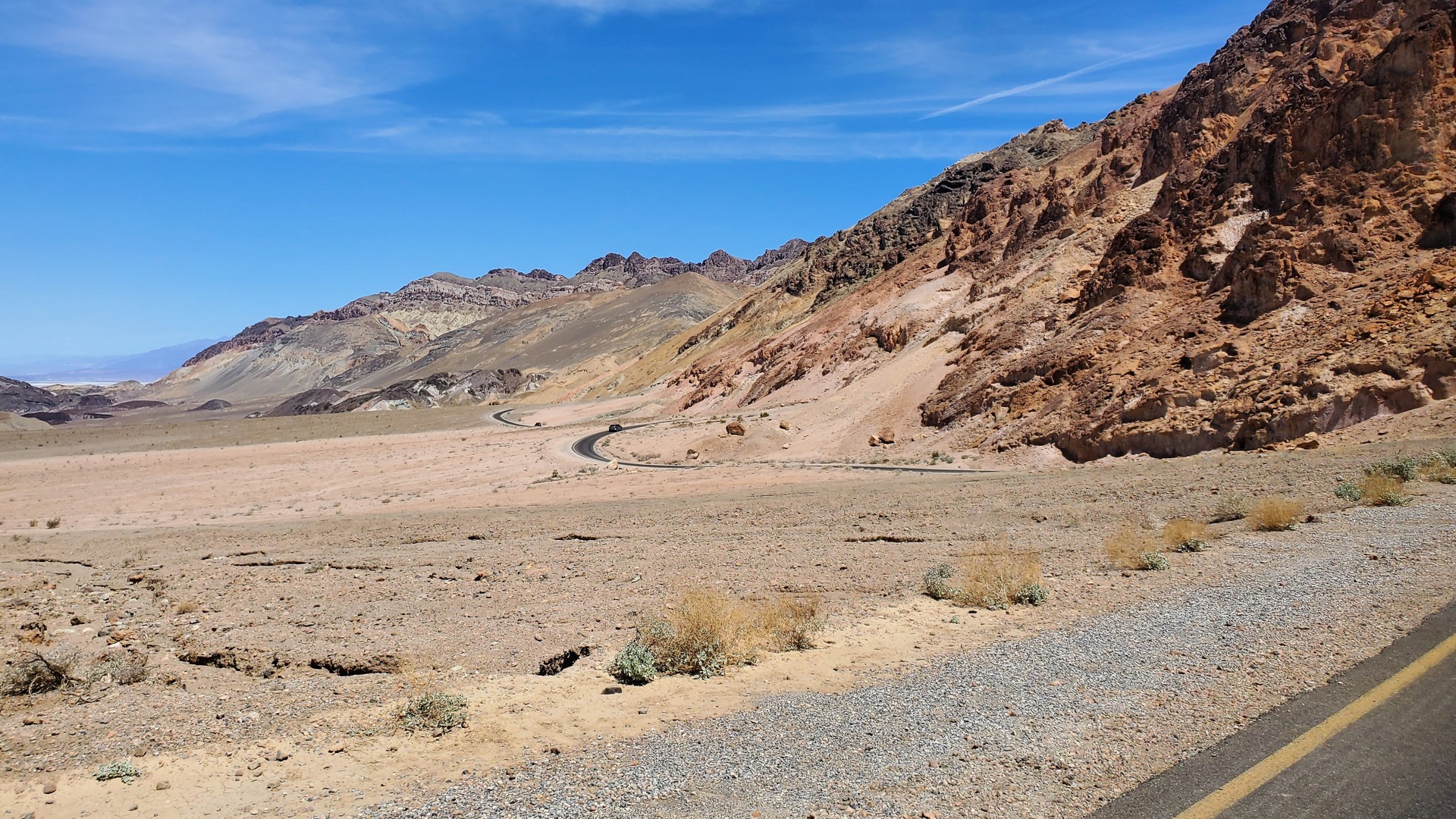
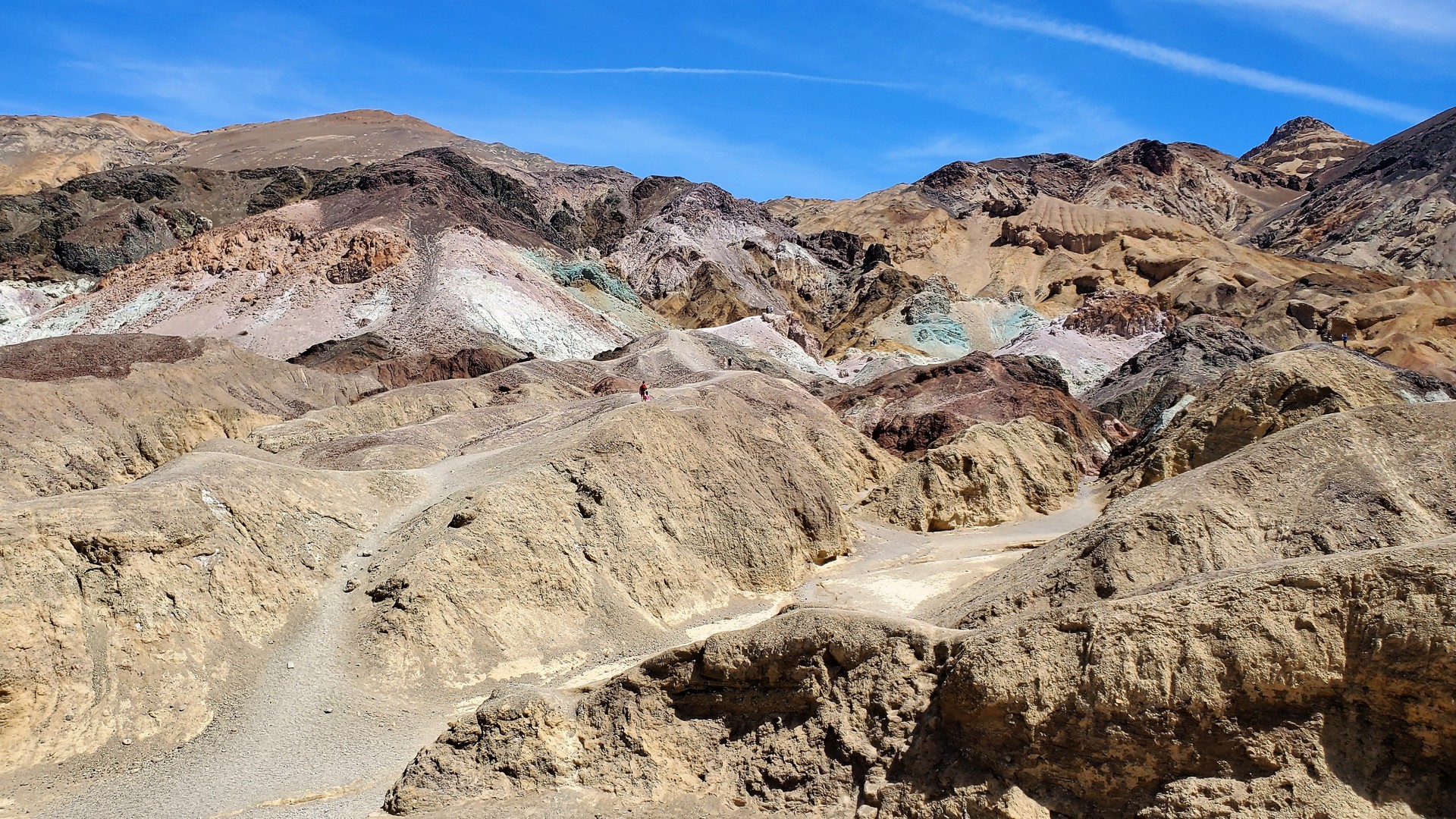
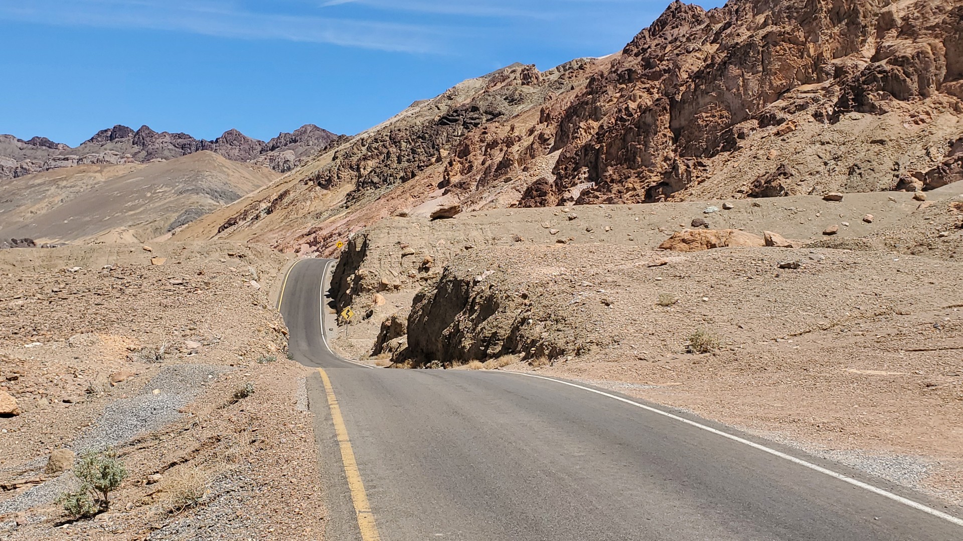
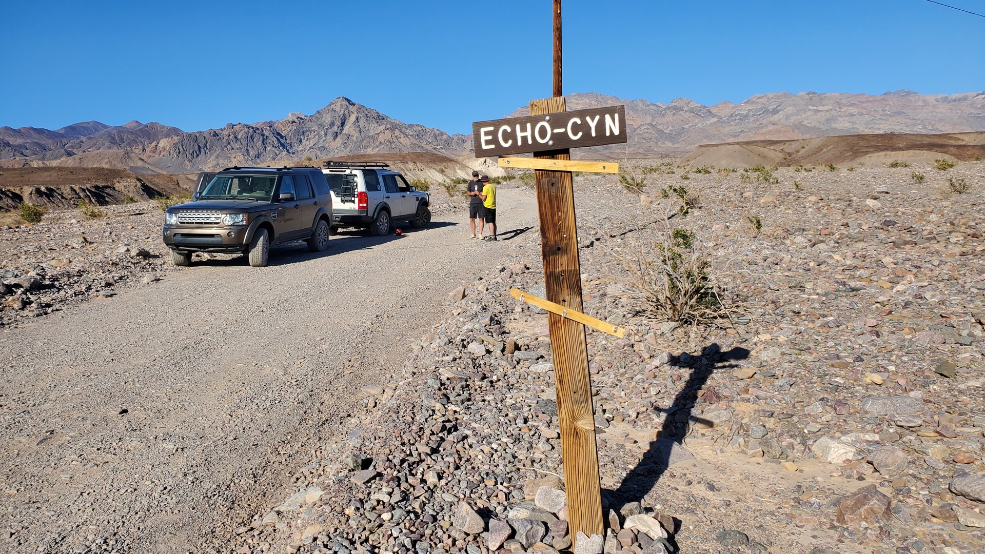
We have our fill of colorful rocks on Artists Drive; our next destination is Echo Canyon. Sometimes referred to as a little brother to Titus Canyon, it is not as affected by the winter flash floods.
It can be driven to access the site of former Inyo Mine, and driven even further - into Lee's Camp in Nevada.
I have never been to Echo Canyon and have no ideas of what terrain to expect.
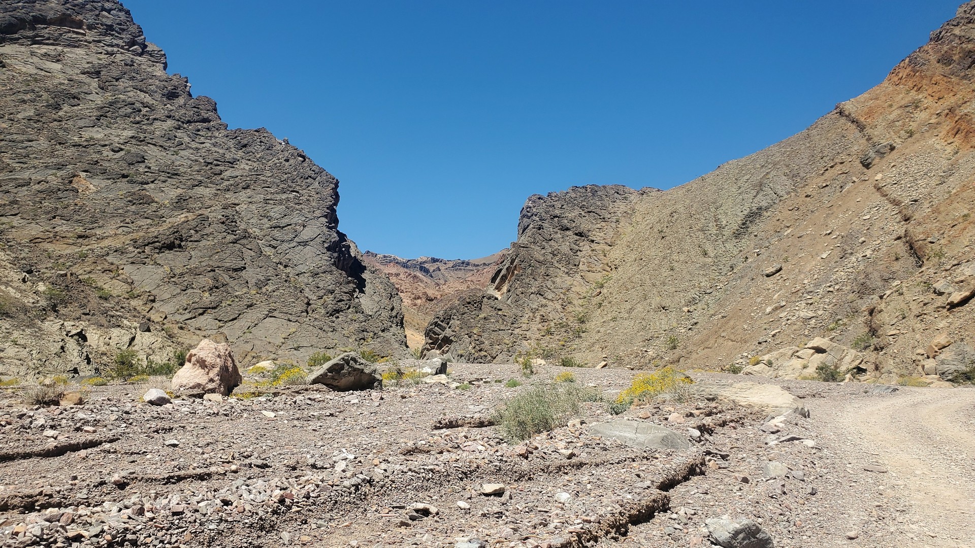
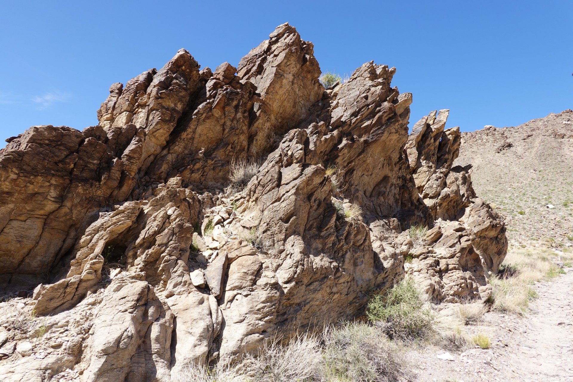
Echo Canyon and Inyo Mine
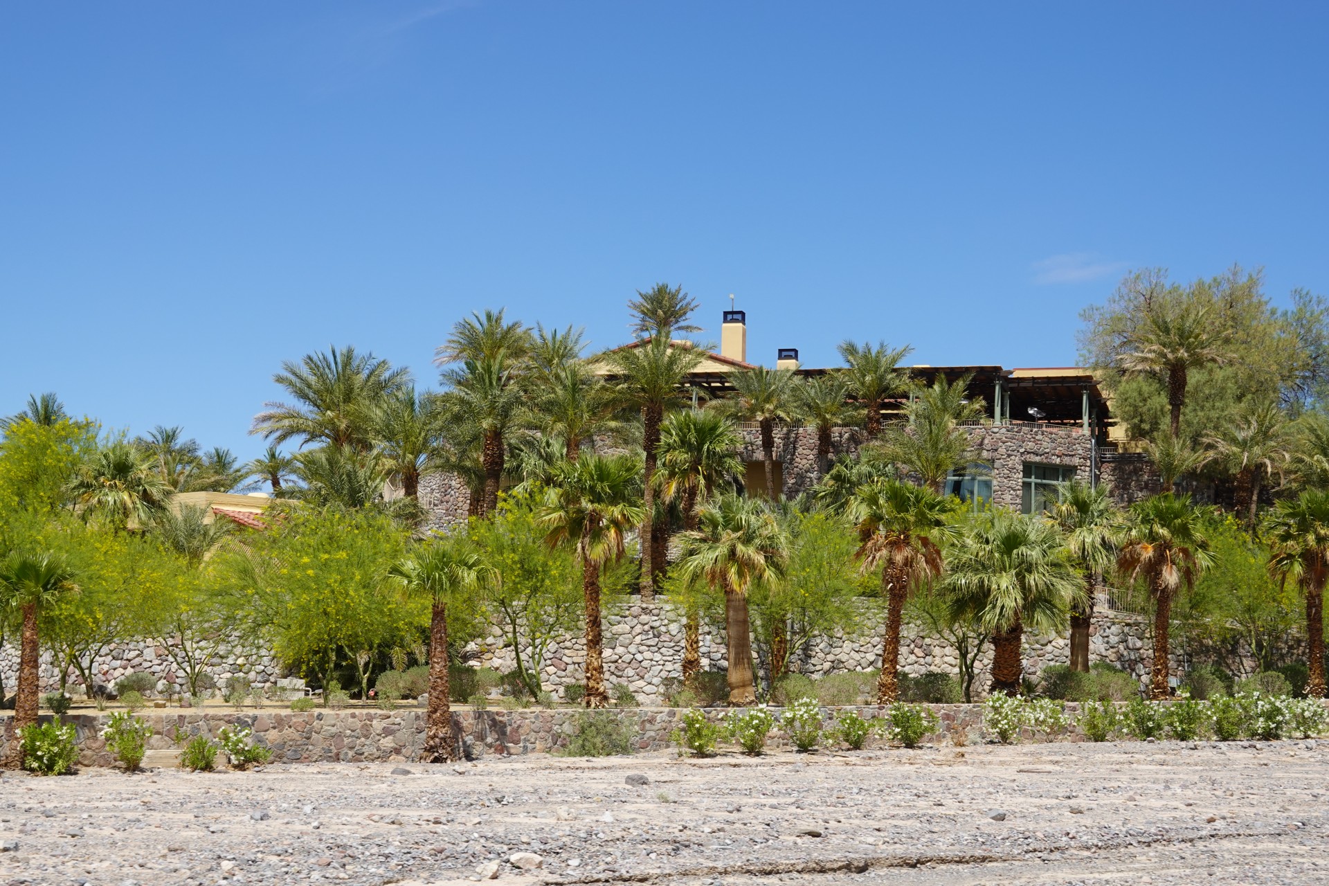
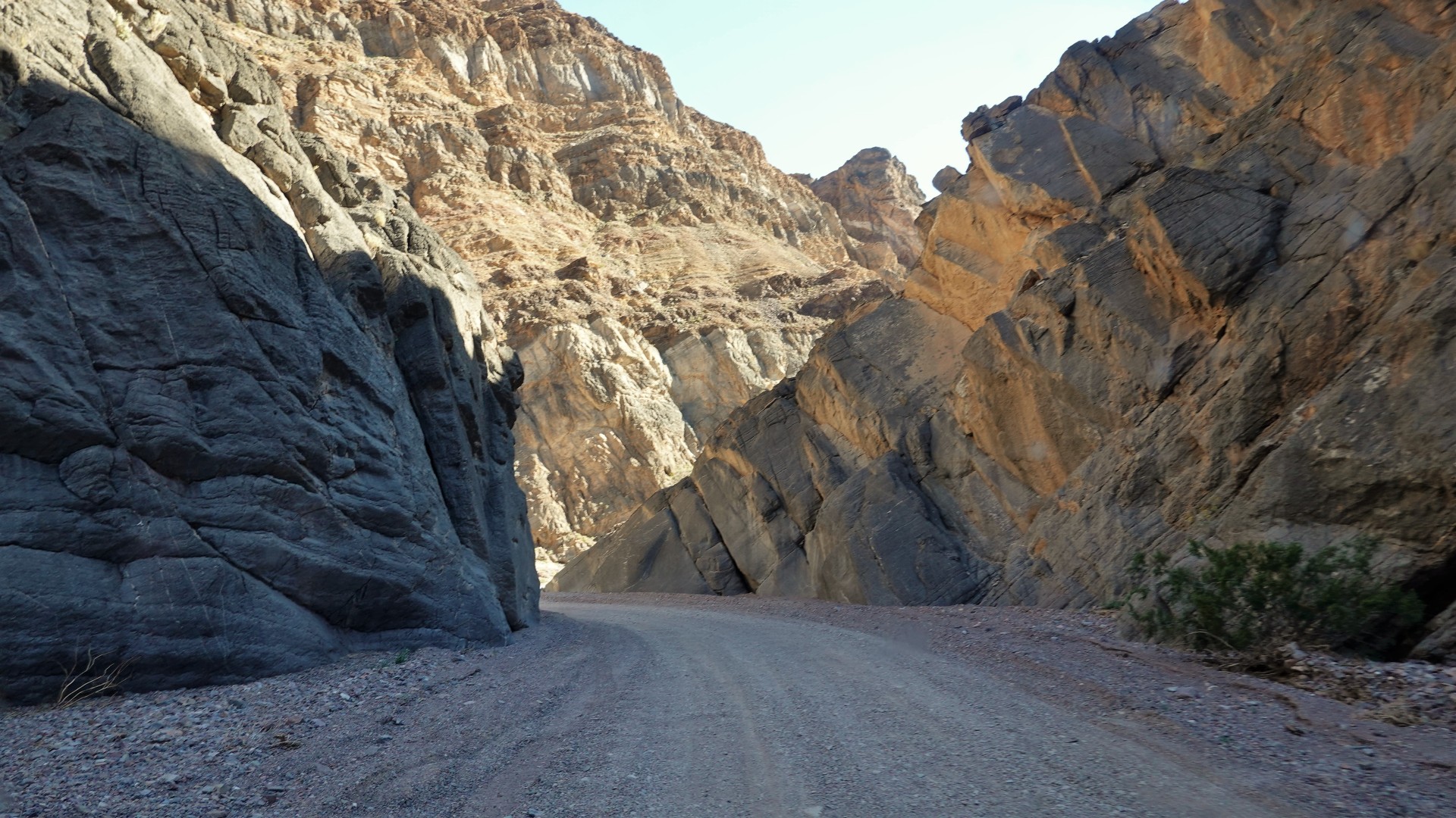
We pass the swanky Furnace Creek Resort and skip the gas station on the way to Echo.
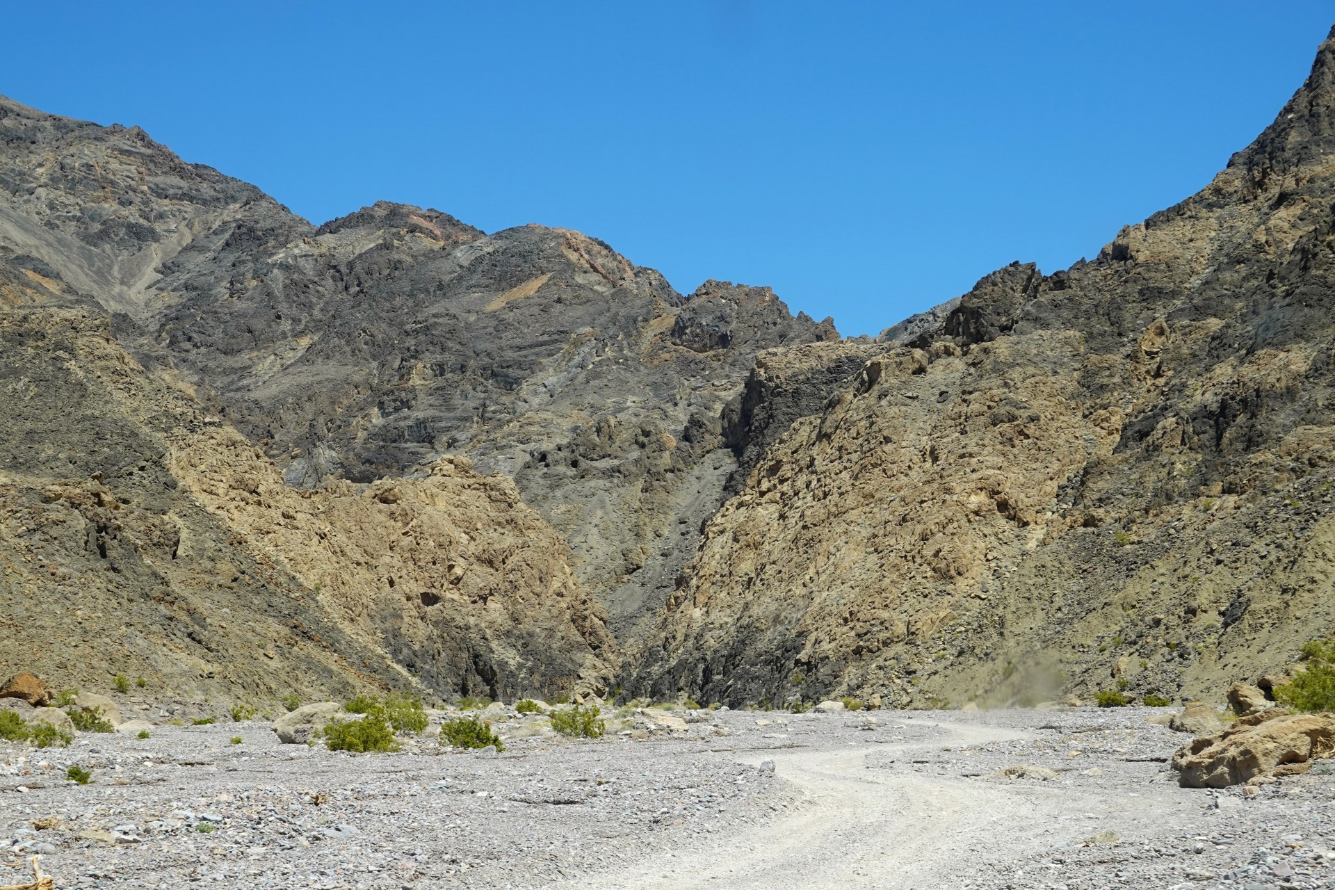
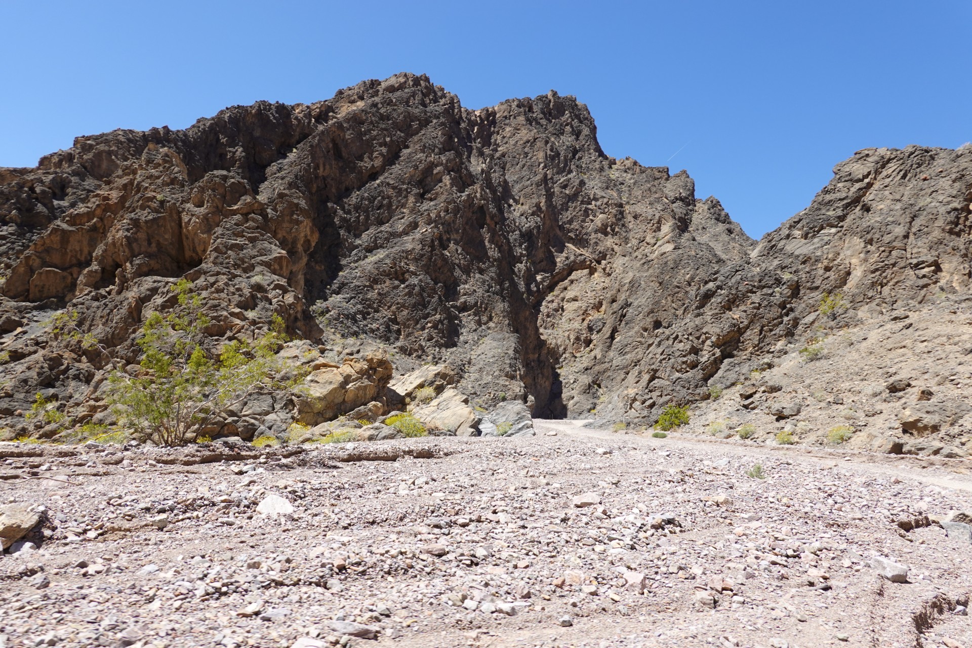
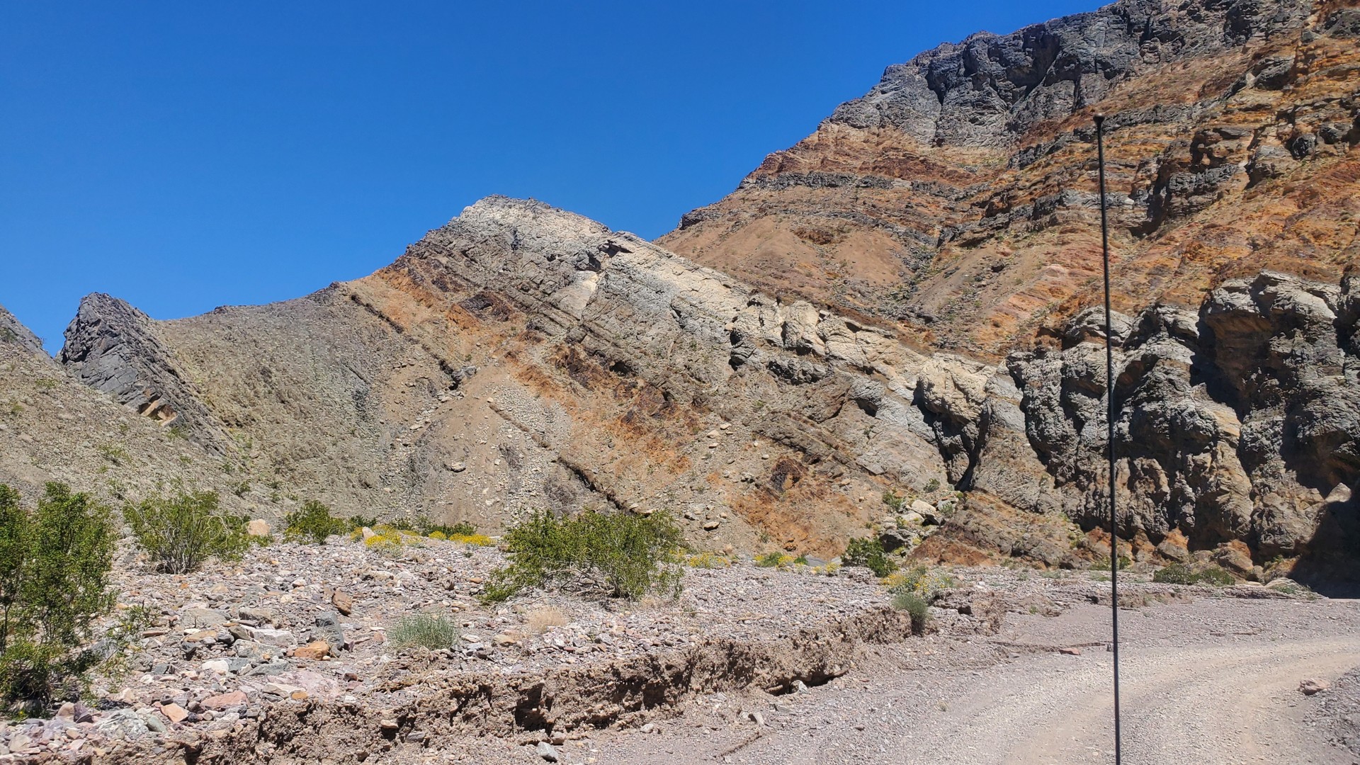
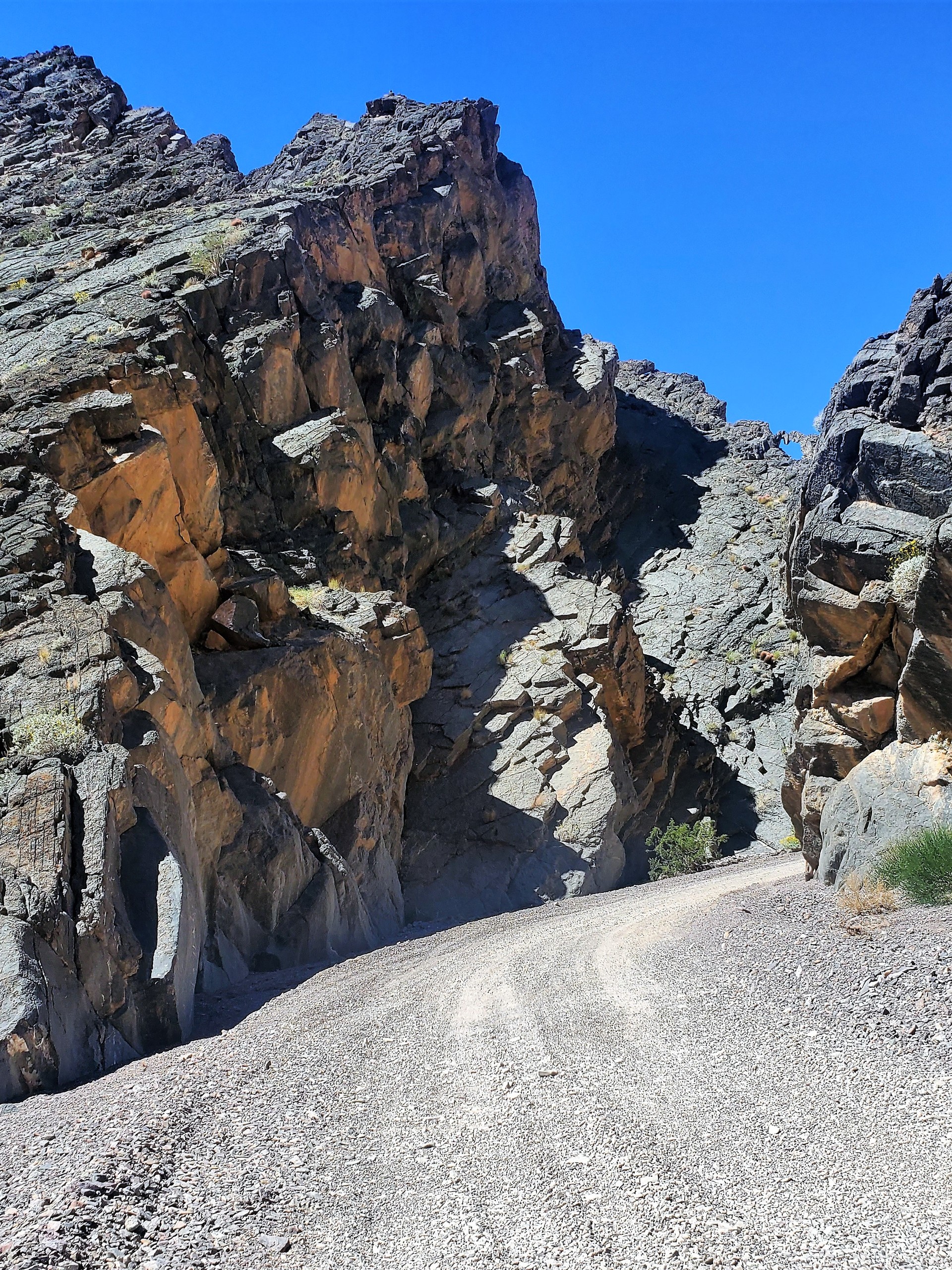
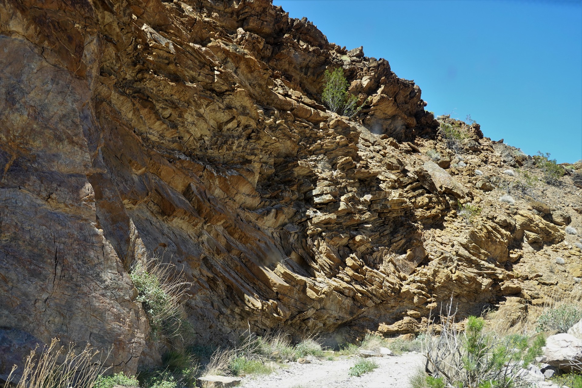
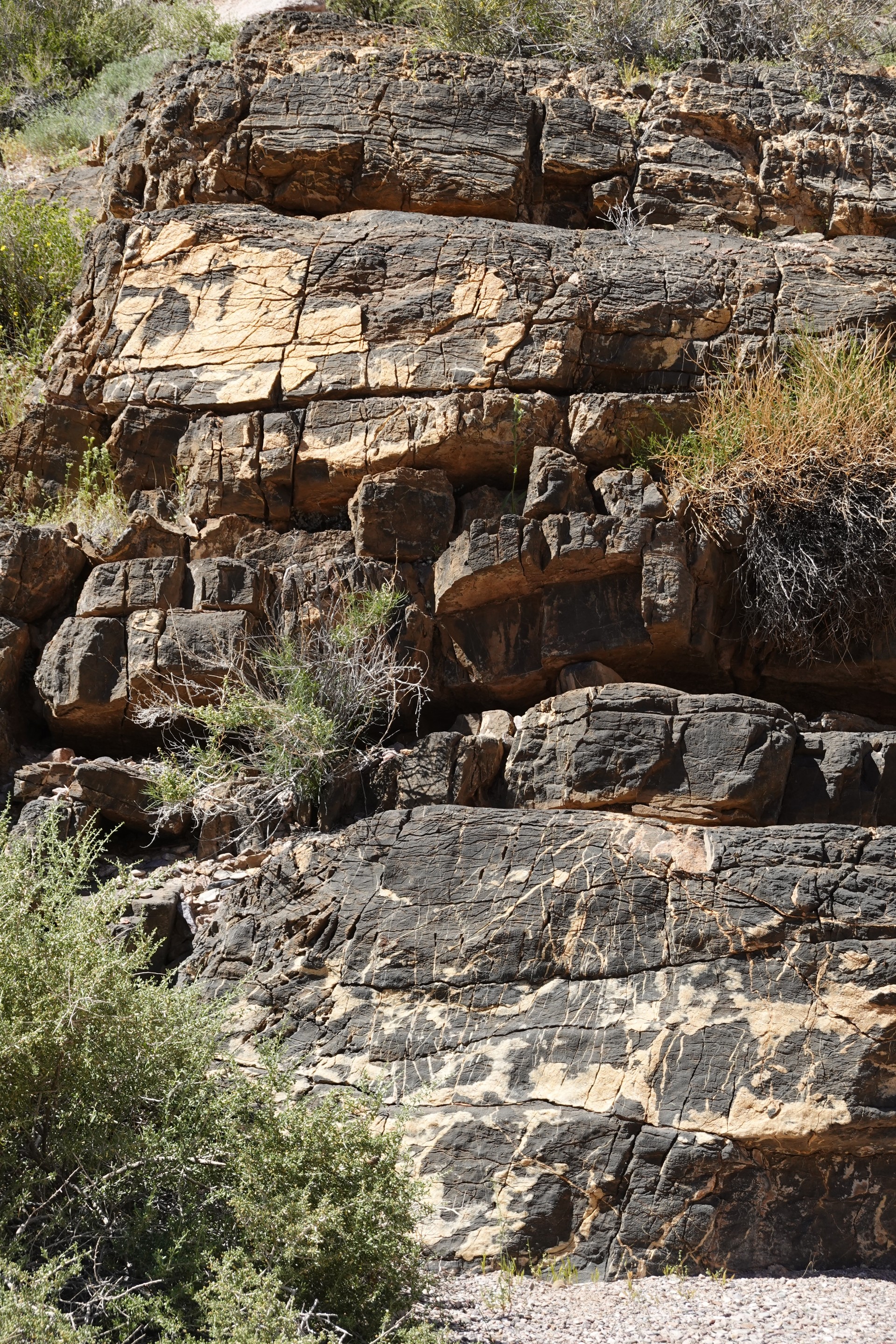
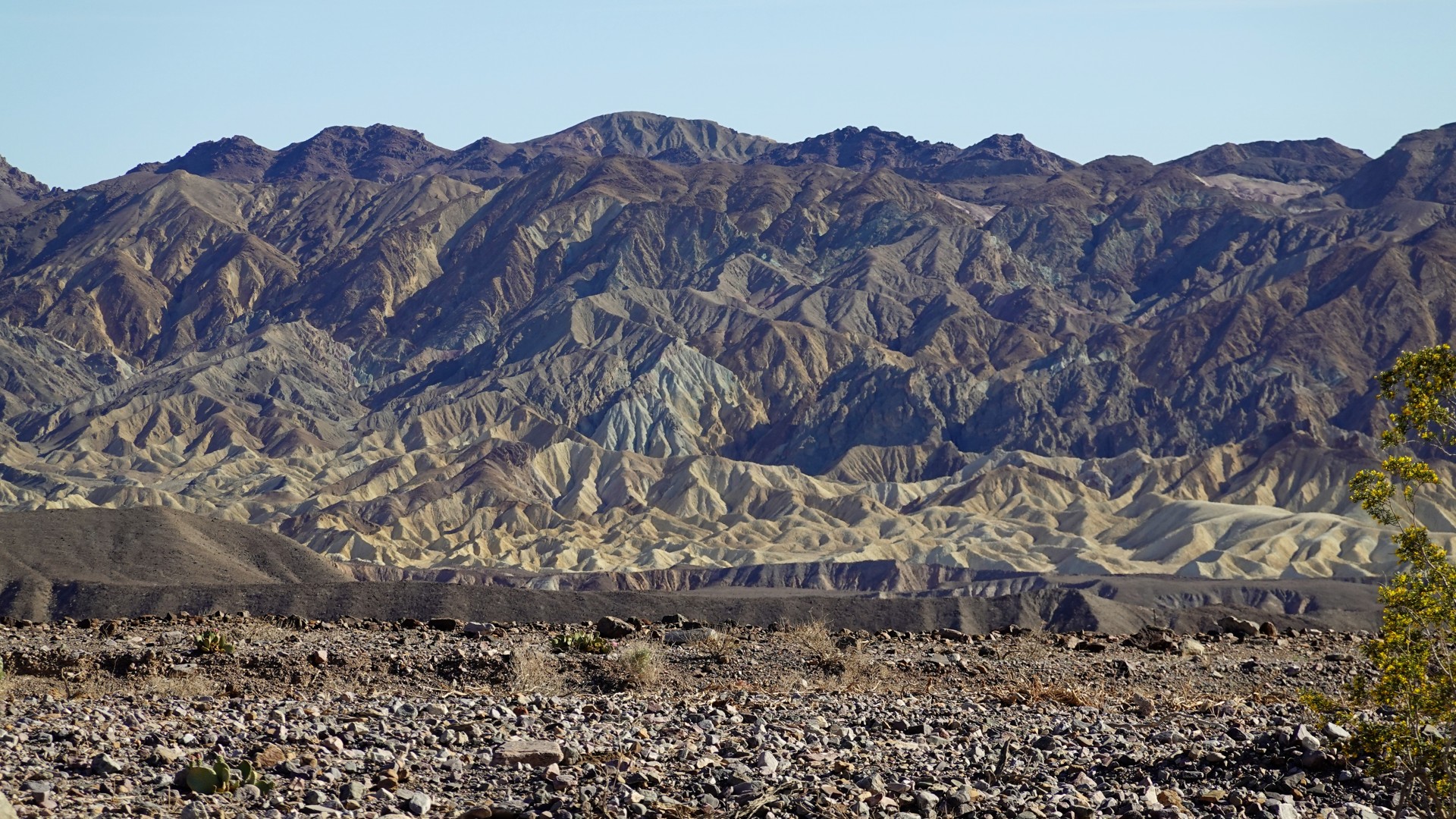
The road narrows and canyon walls close in.
It is close to one in afternoon - and we find ourselves a place in a shade to have lunch.
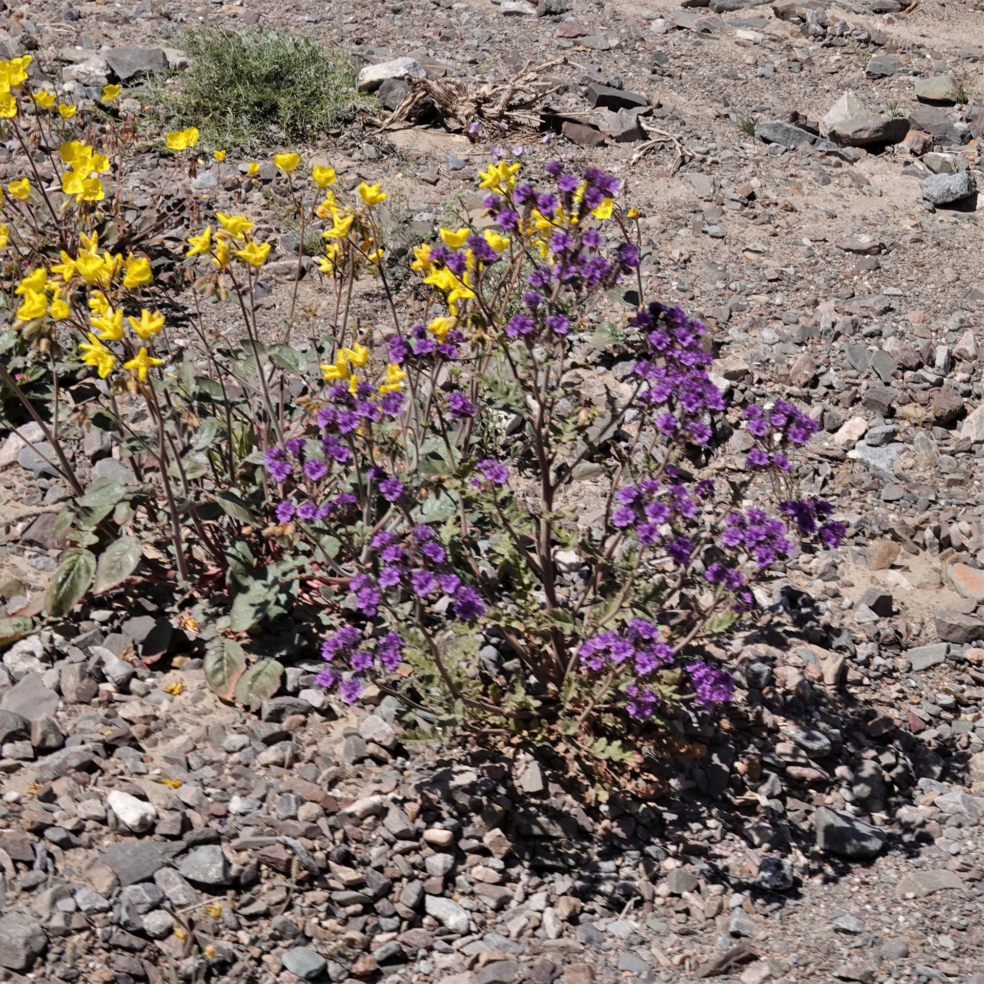
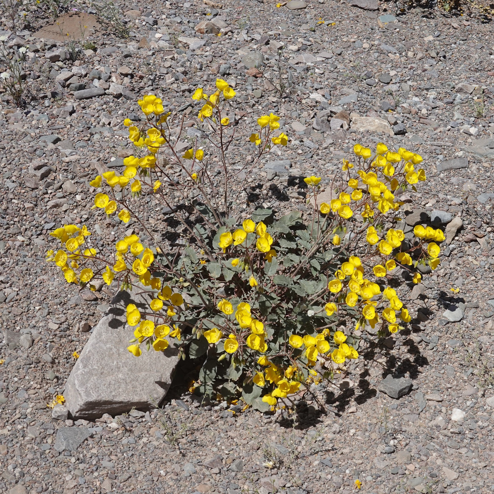
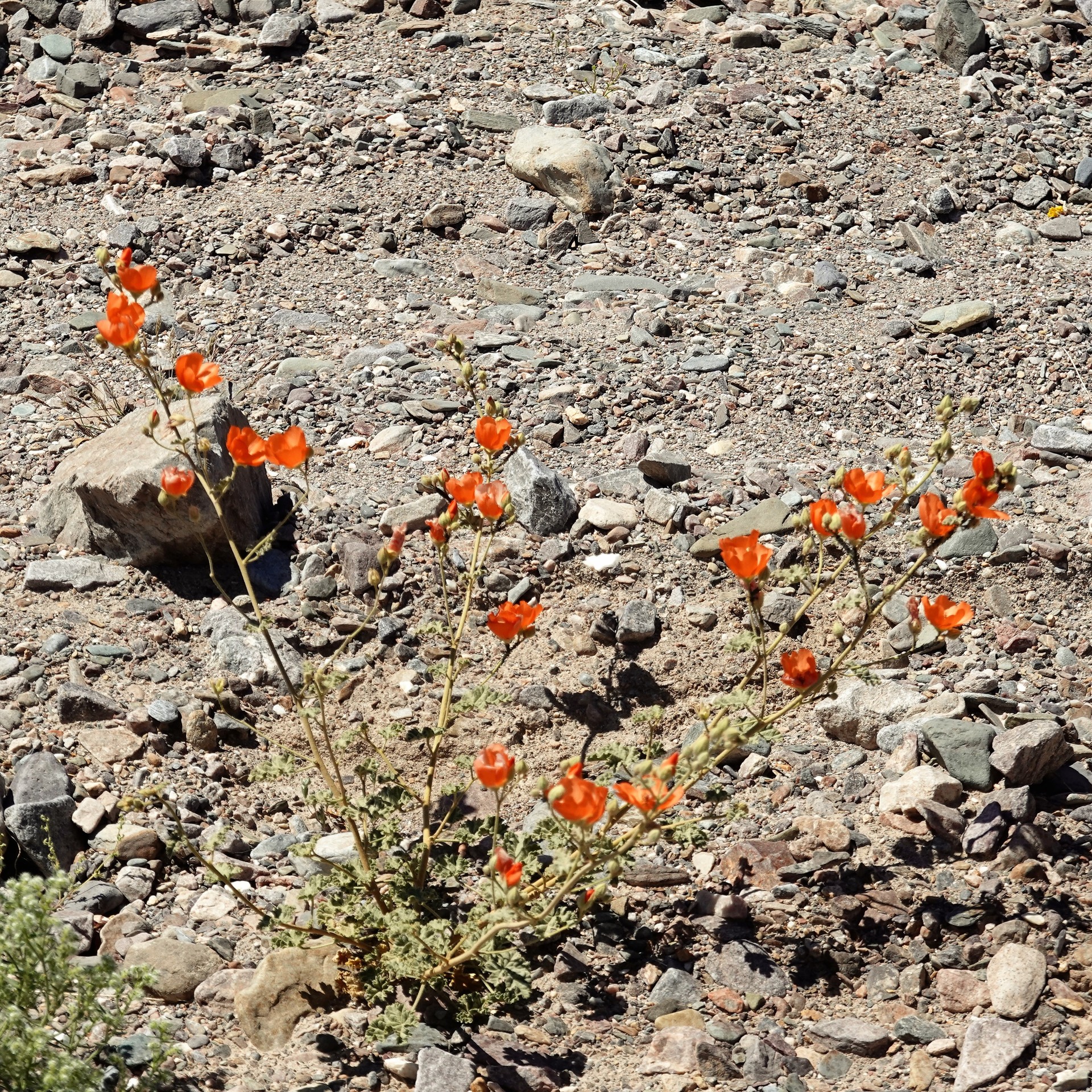
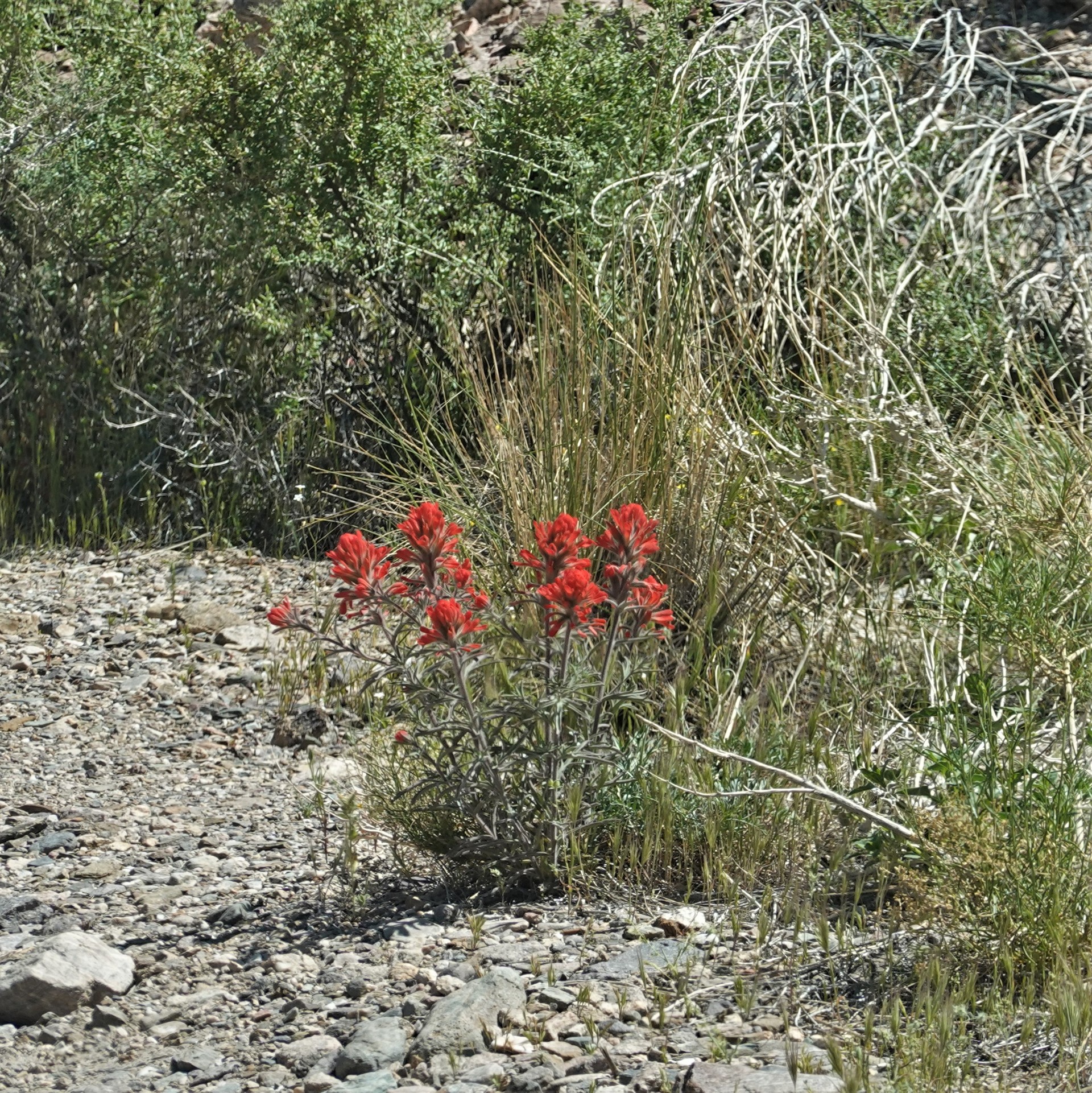
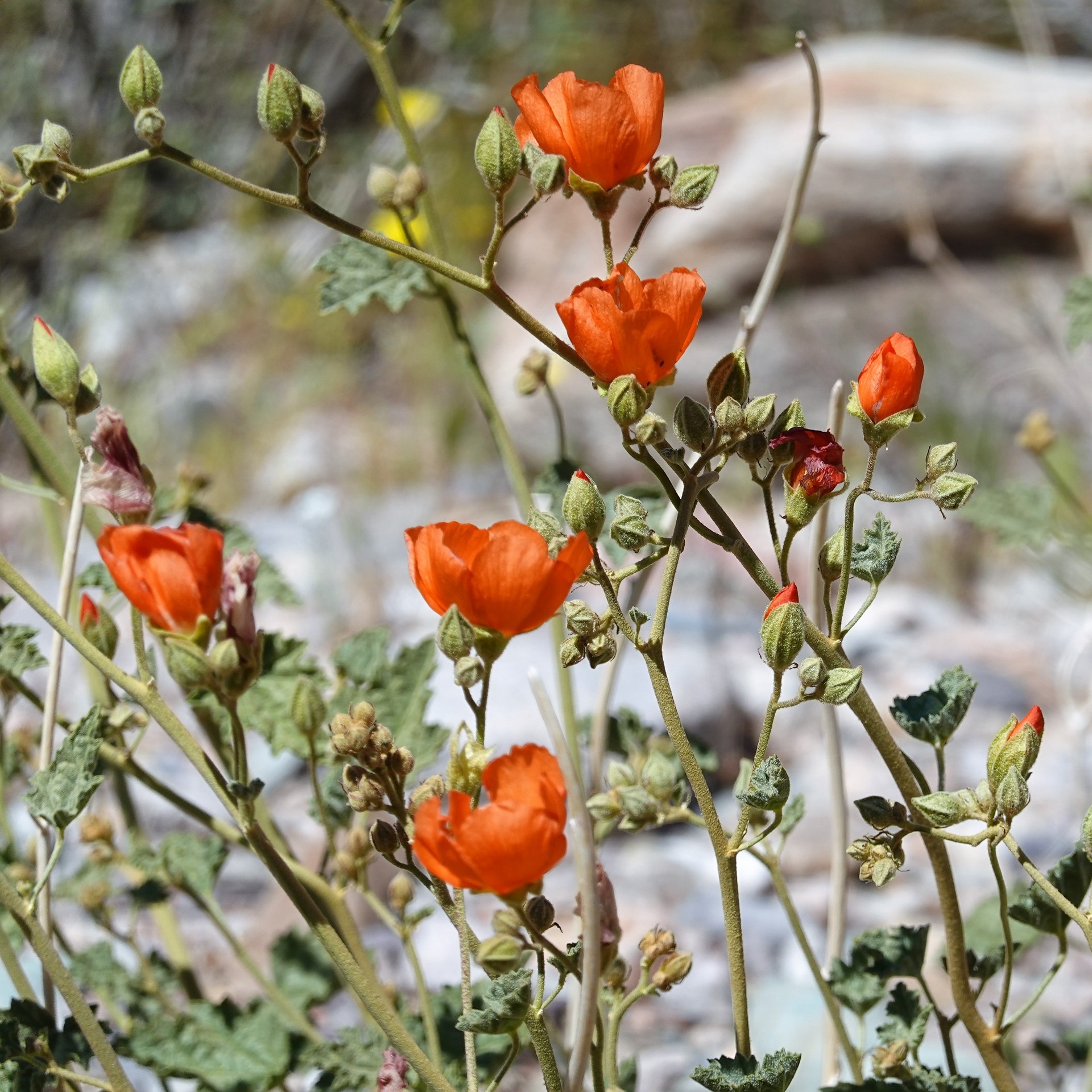
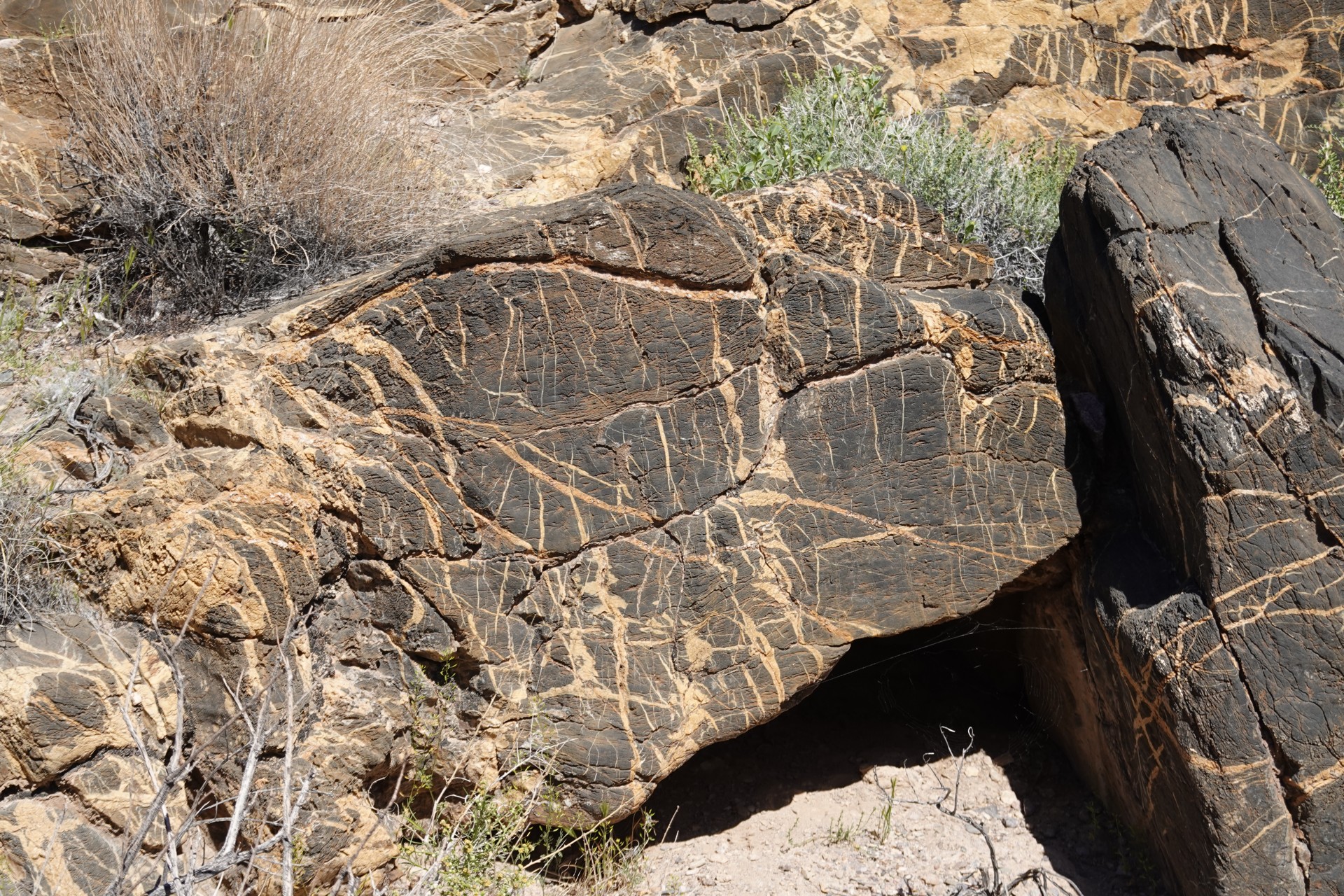
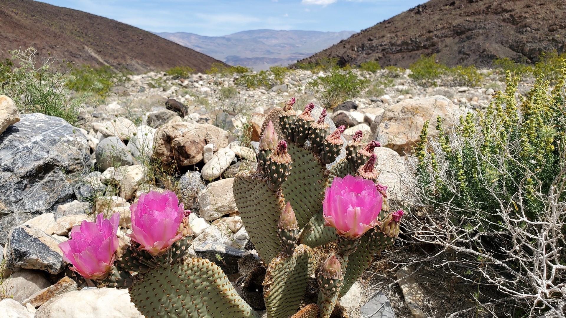
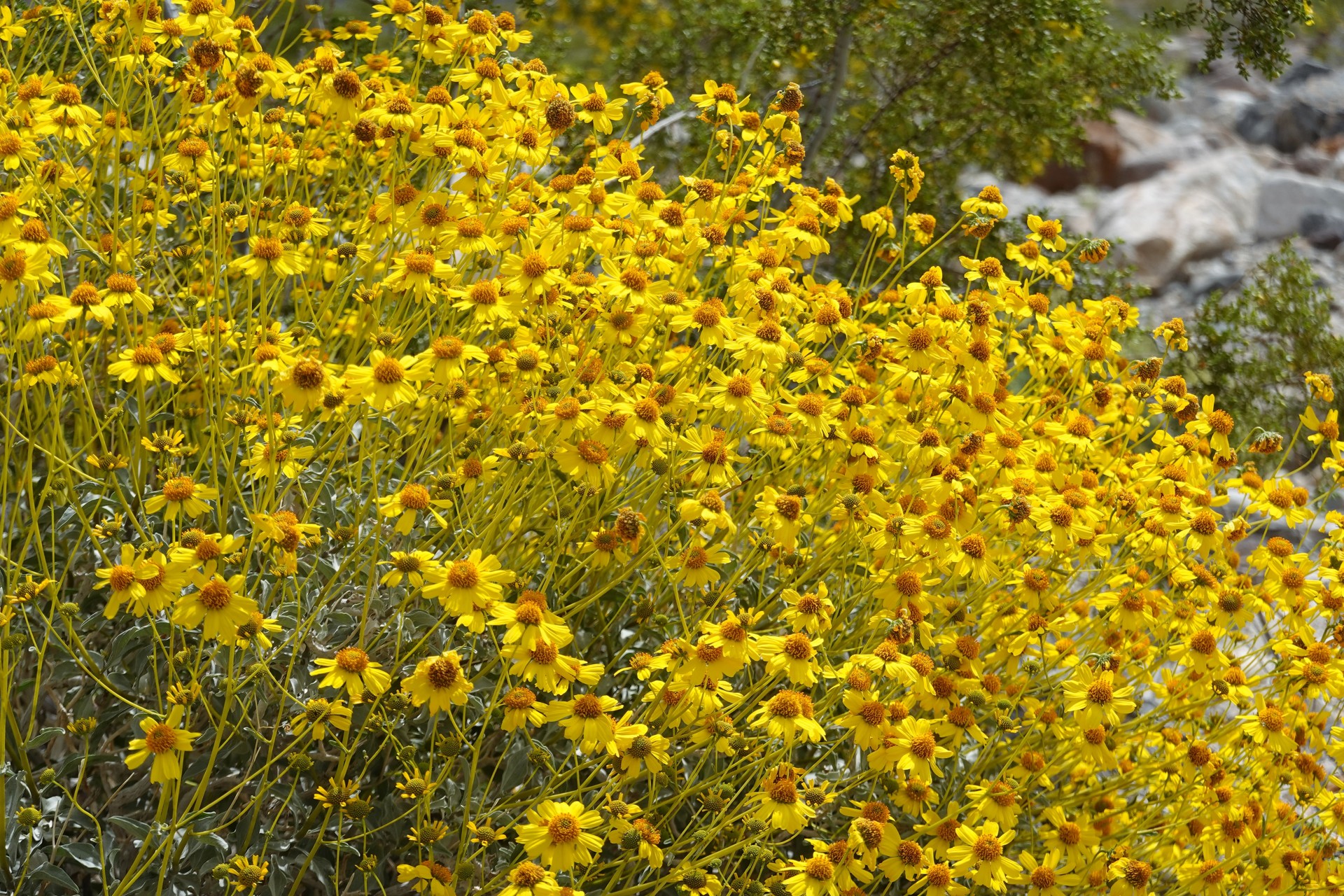
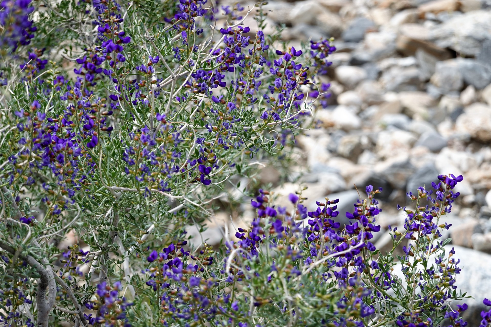
This is a superbloom winter - and flowers are everywhere.
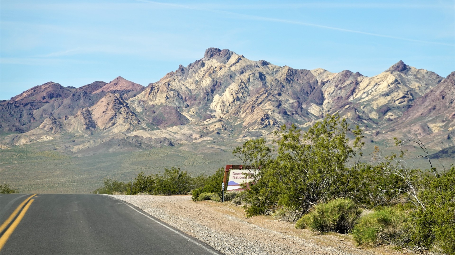
I really wish they hadn't had that sign. At least, they could have written "long boring road out there, nothing to see." But no, they just had to extol the dangers and need in proper hardware.
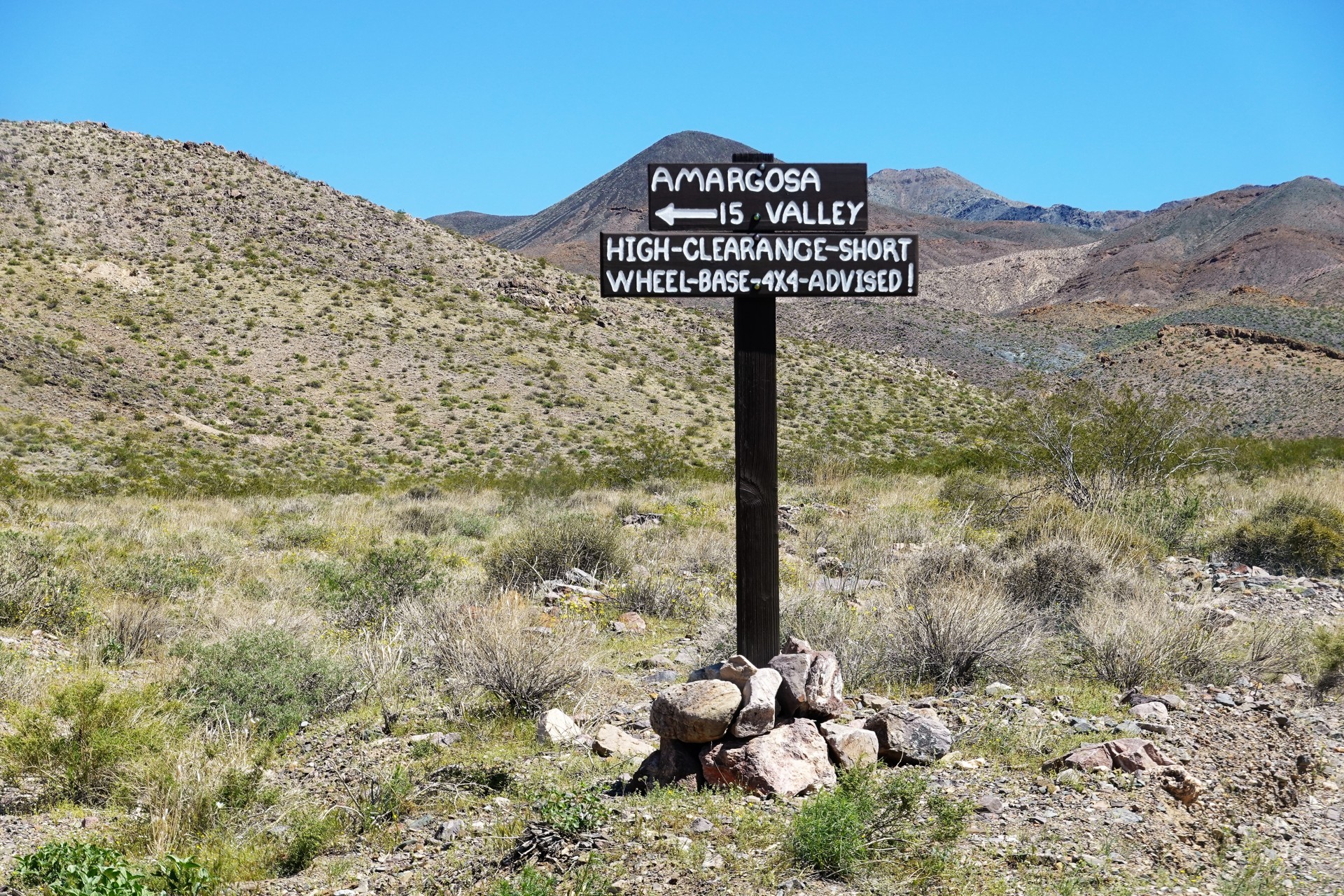
Bring it on, we say, and head towards Amargosa Valley. What's 15 miles needing short wheelbase, high clearance, 4x4?
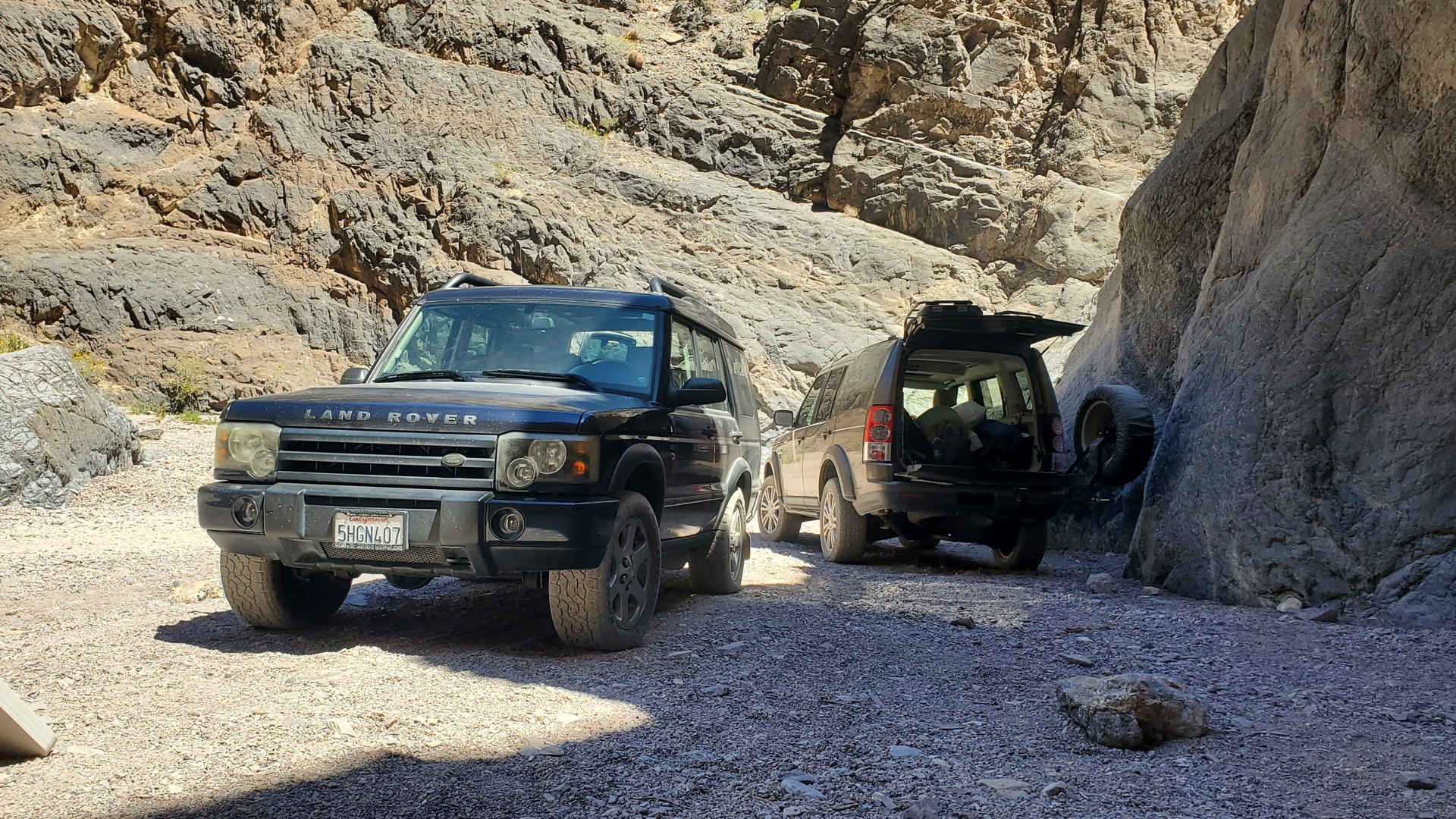
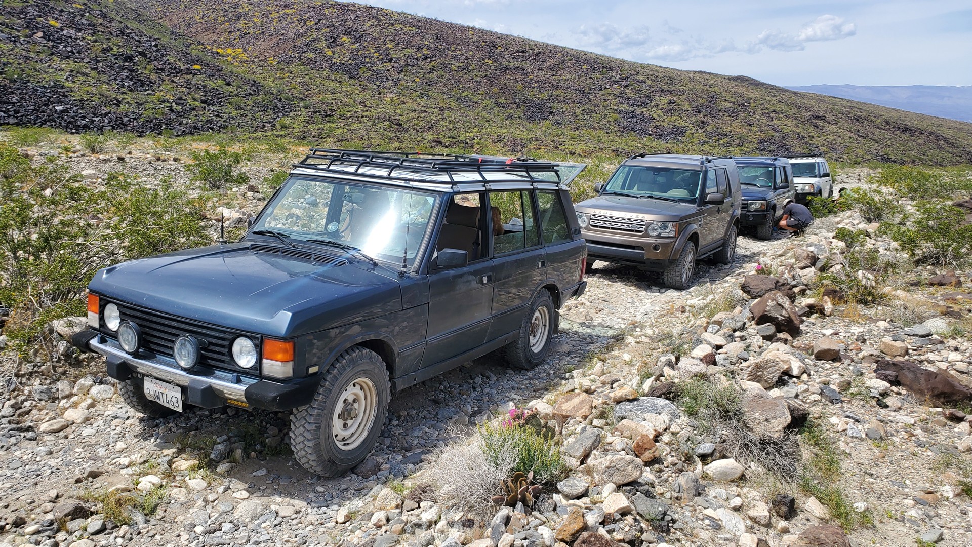
About an hour into the trail, I realize that the chatter on VHF almost died down - meaning the road requires some attention.
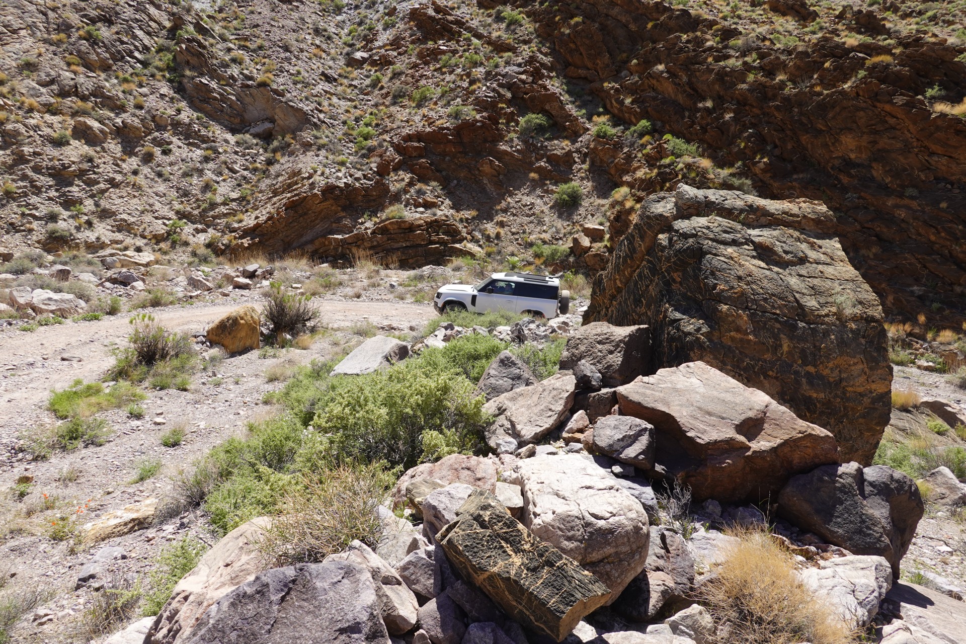
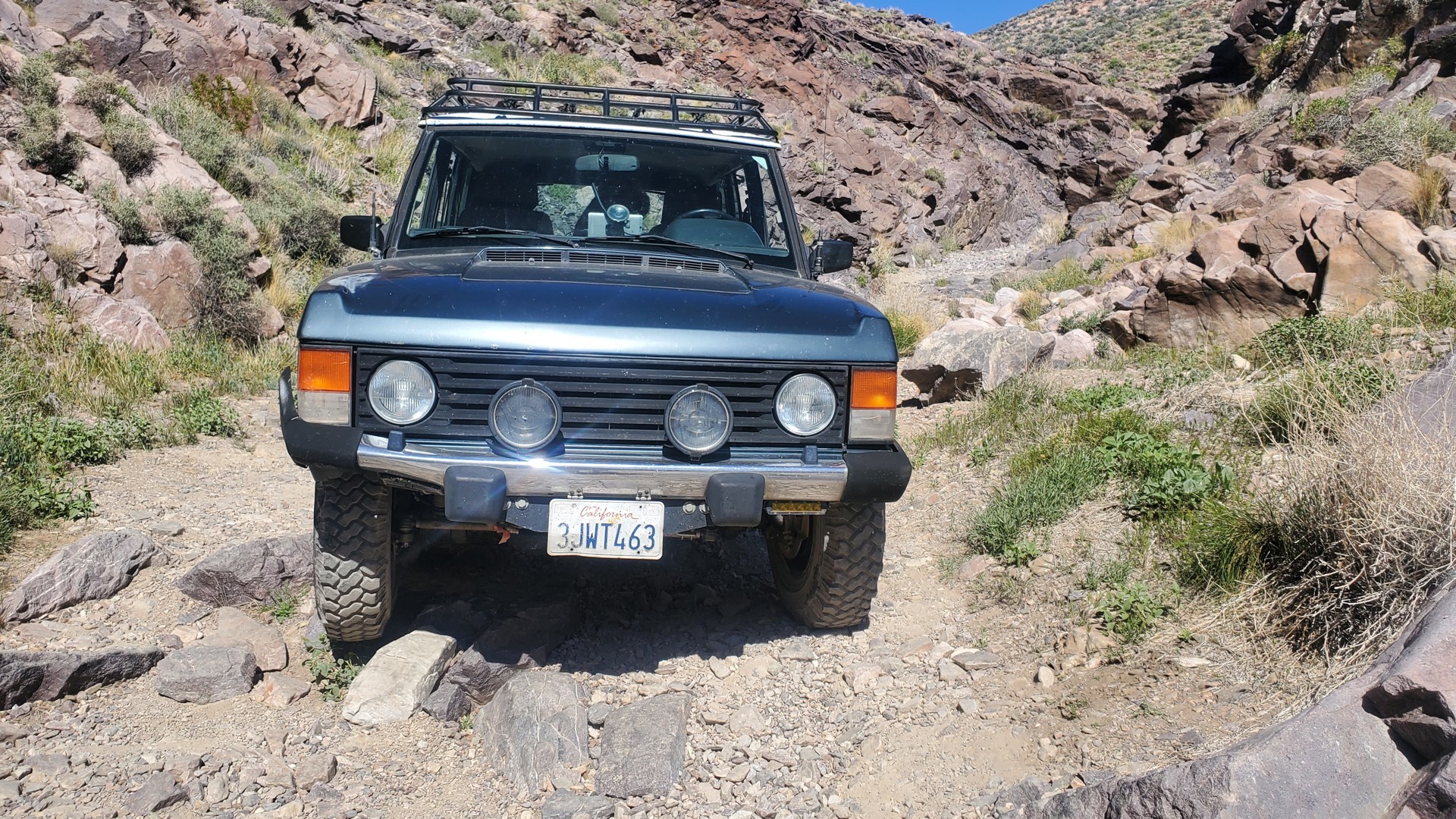
As I stop and ponder if I should offer spotting the group through the first dry waterfall, I look back and see our first flat.
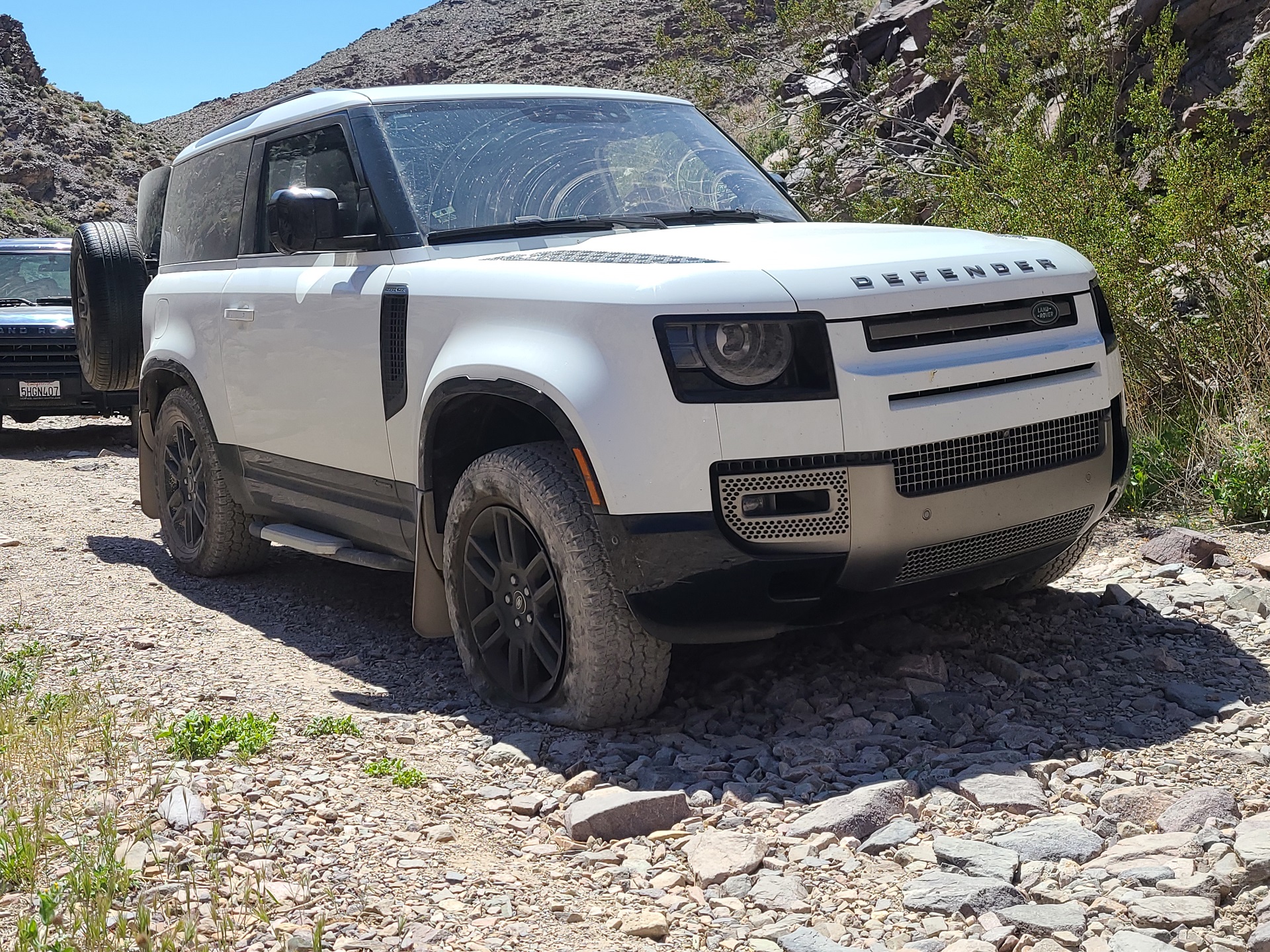 Photo by Brian Strate
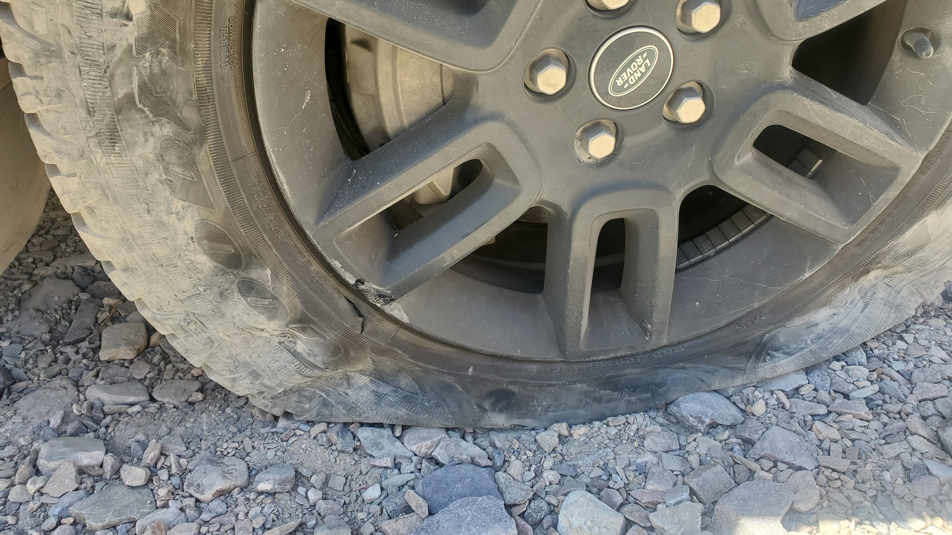
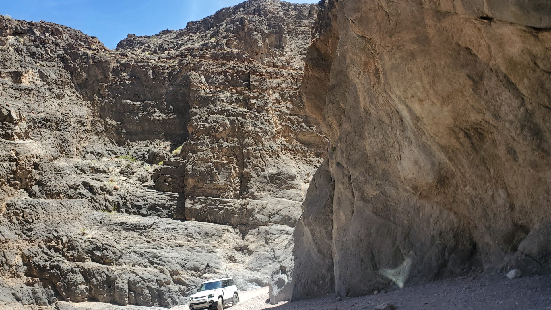
Everybody gathers around to learn the tire-changing hardware offered by the Land Rover in the new Defender. I offer very optimistic outlook on the series of waterfalls ahead of us ("Pfft... Piece of cake."), and take on the first one.
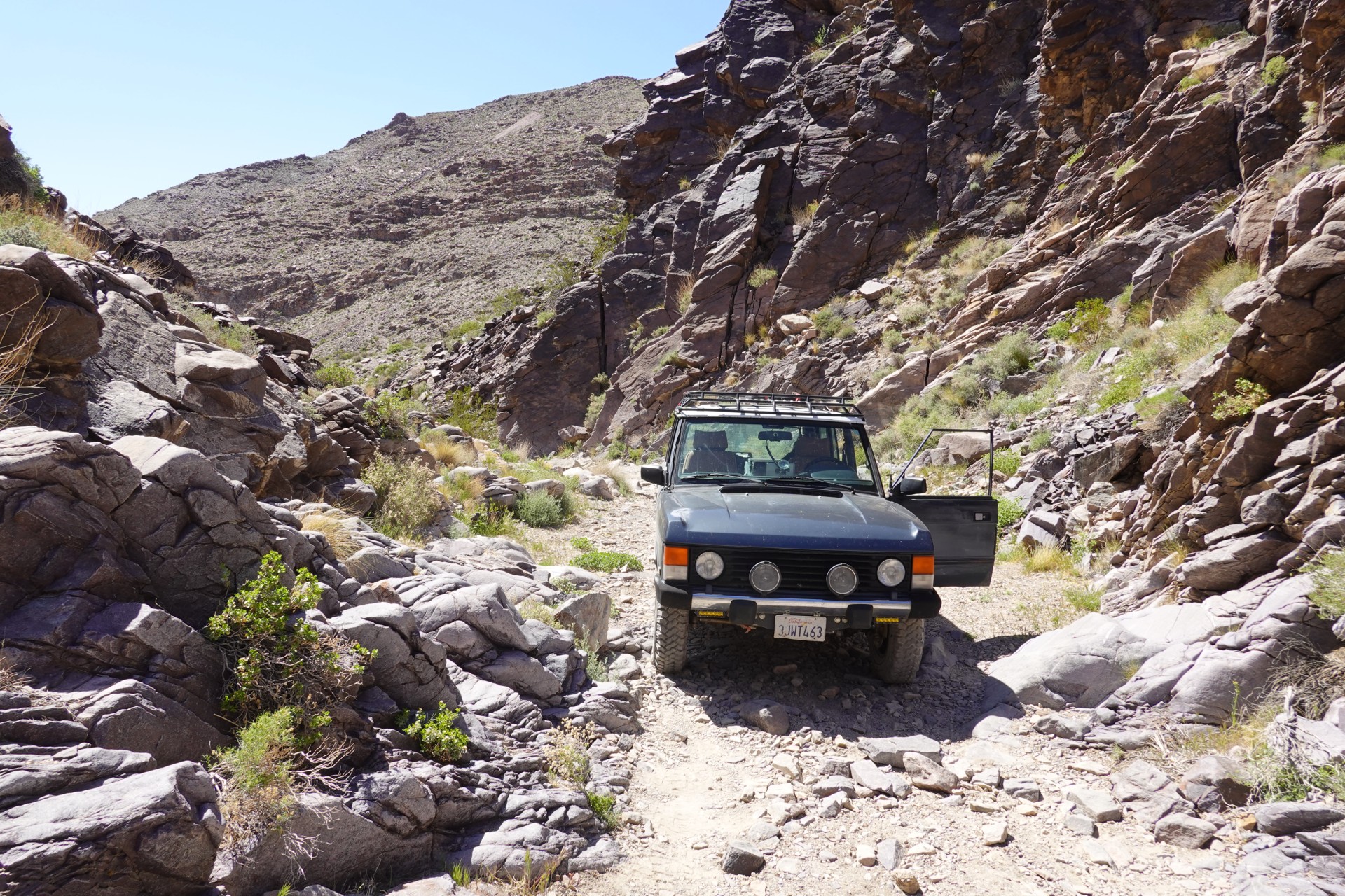
I did drive up this waterfall, but it wasn't to let me off the hook easily and bent my Classic's bumper. "Self-clearancing," they say.
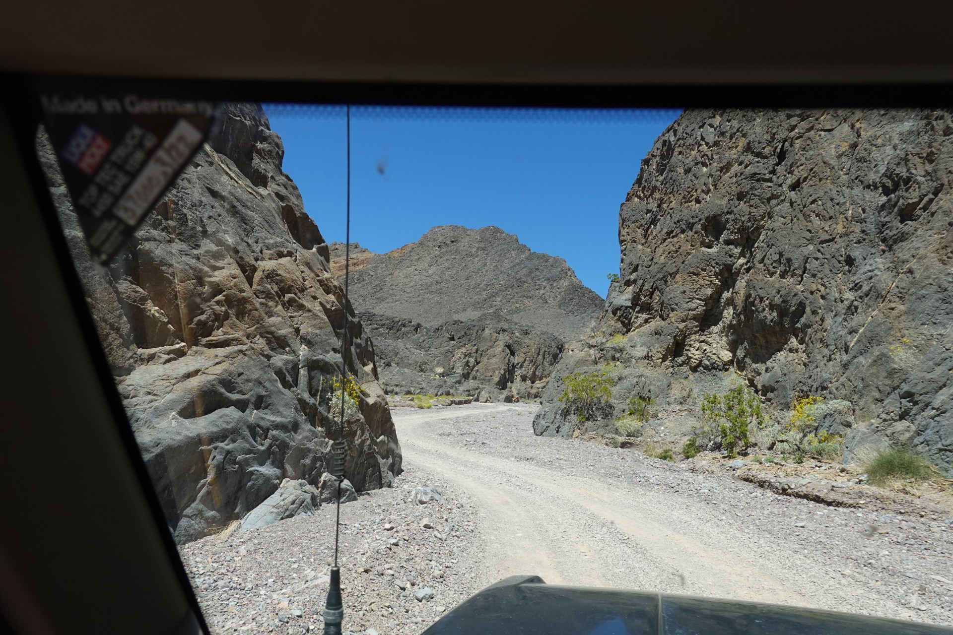
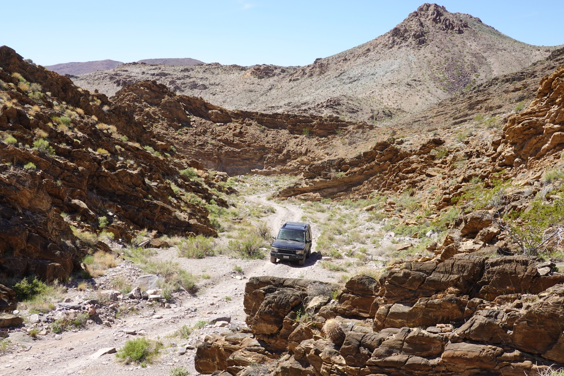
The road now becomes a series of waterfalls, with 1-2 foot ledges (all at an angle to the road), and with about one vehicle length between the waterfalls.
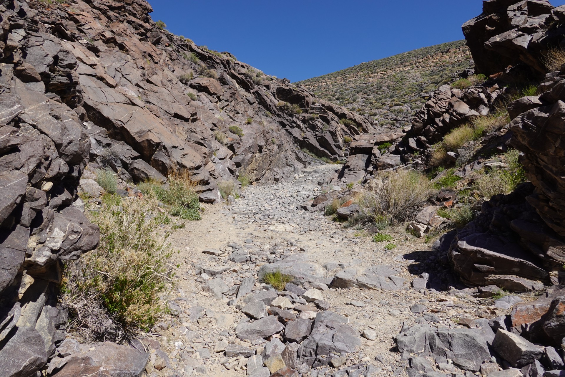
Chris and Brian are encouraging me to attempt to drive through the waterfalls, and I oblige - Brian takes the video:
It is already 4 in the afternoon, and we have about 10 miles left of this trail. The grand plans of making it quick to Rhyolite, Nevada, are discarded; it is clear that at a minimum two vehicles will require winching through just this section, and some degree of body damage is guaranteed.
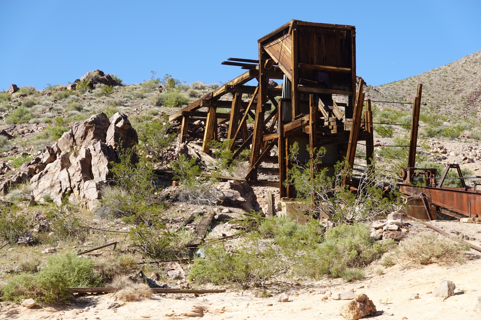
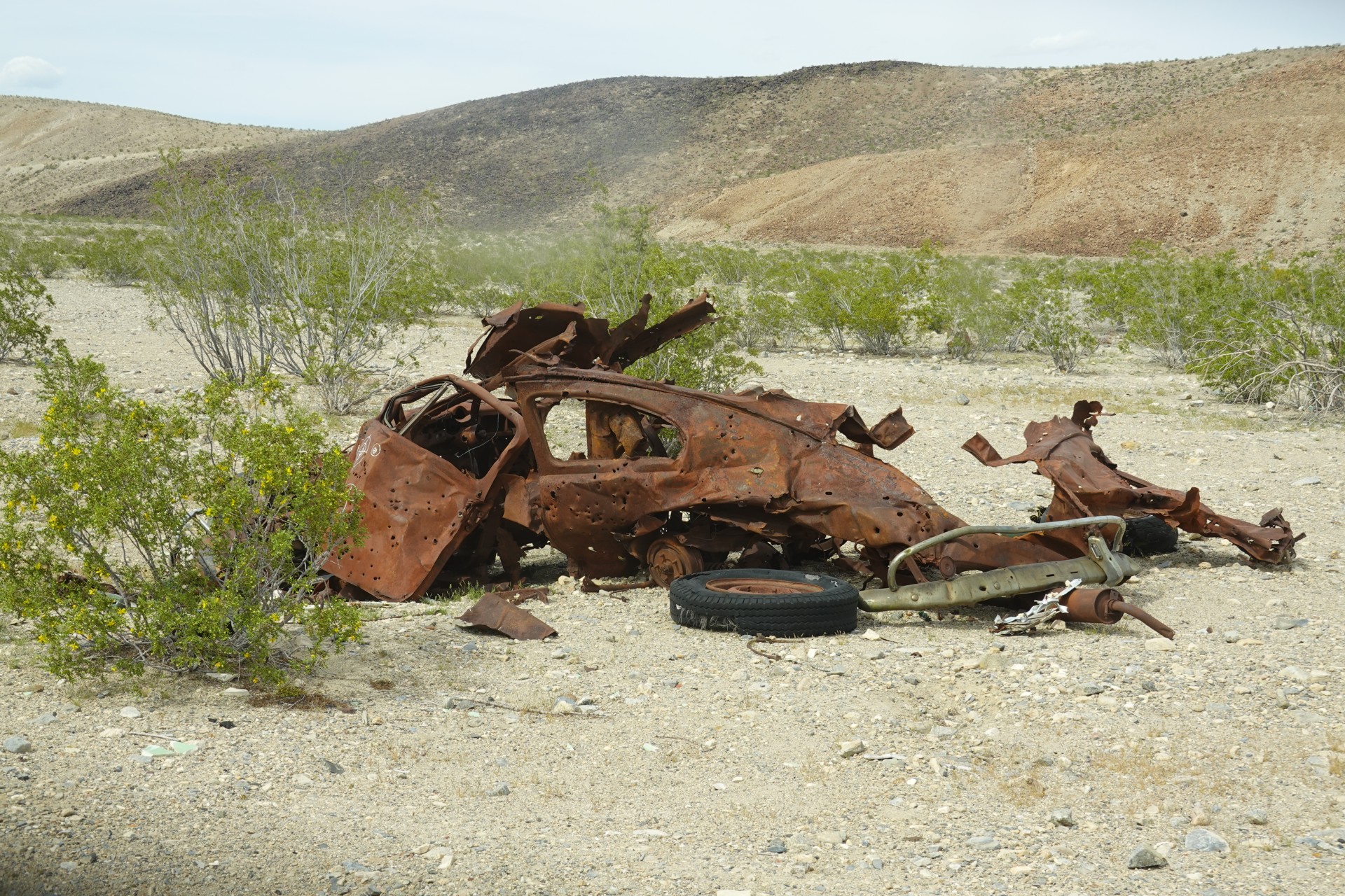
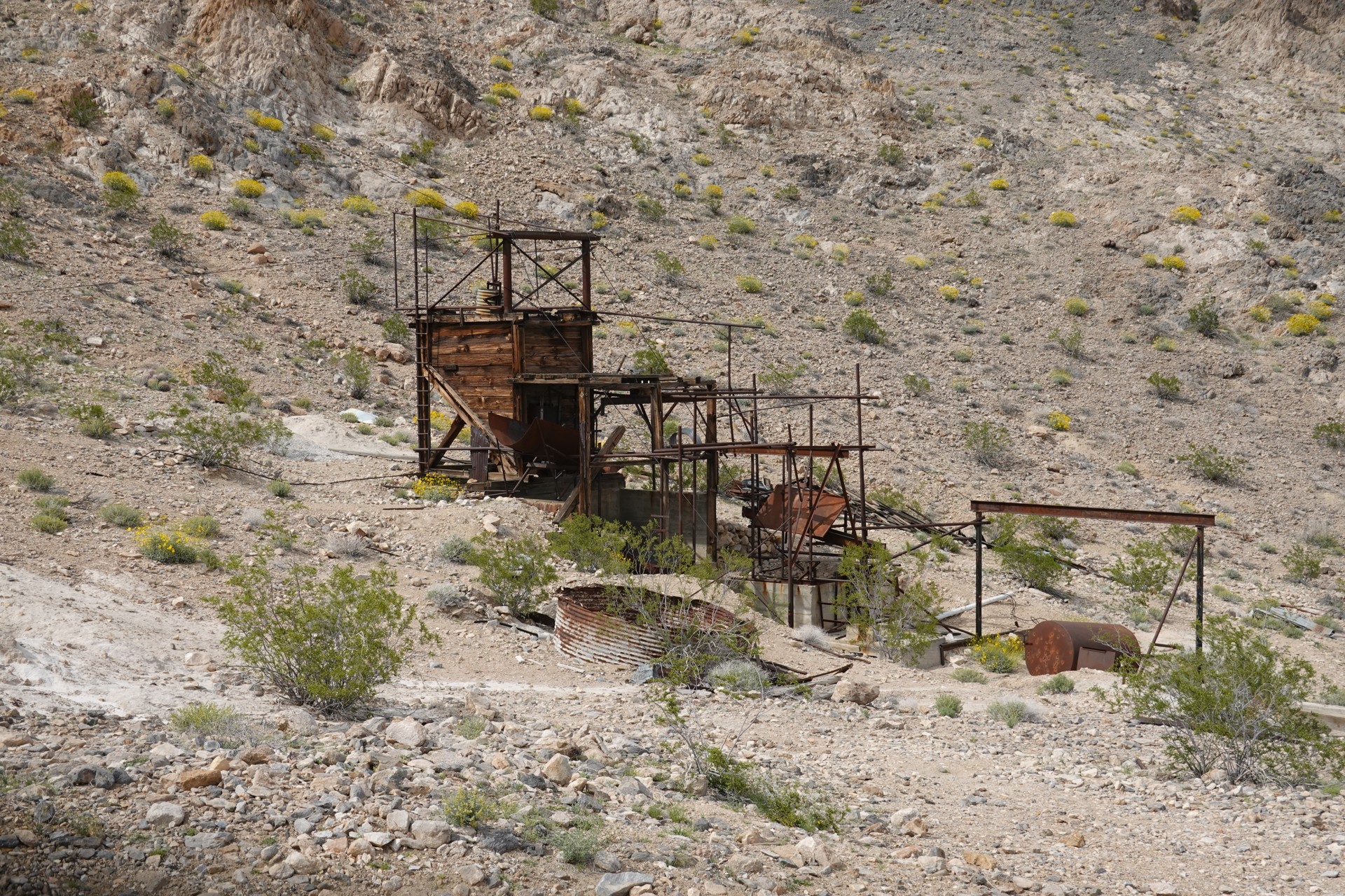
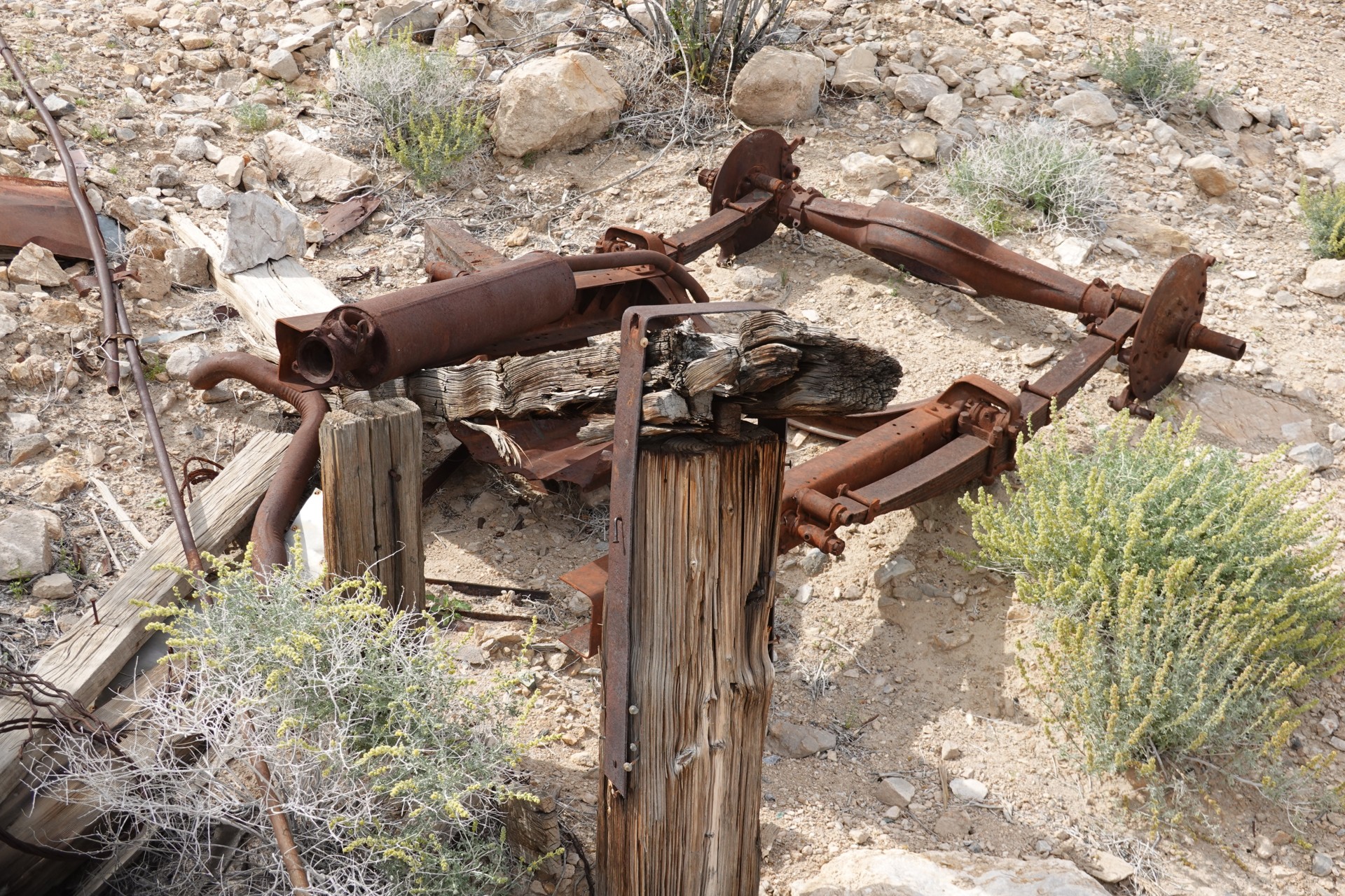
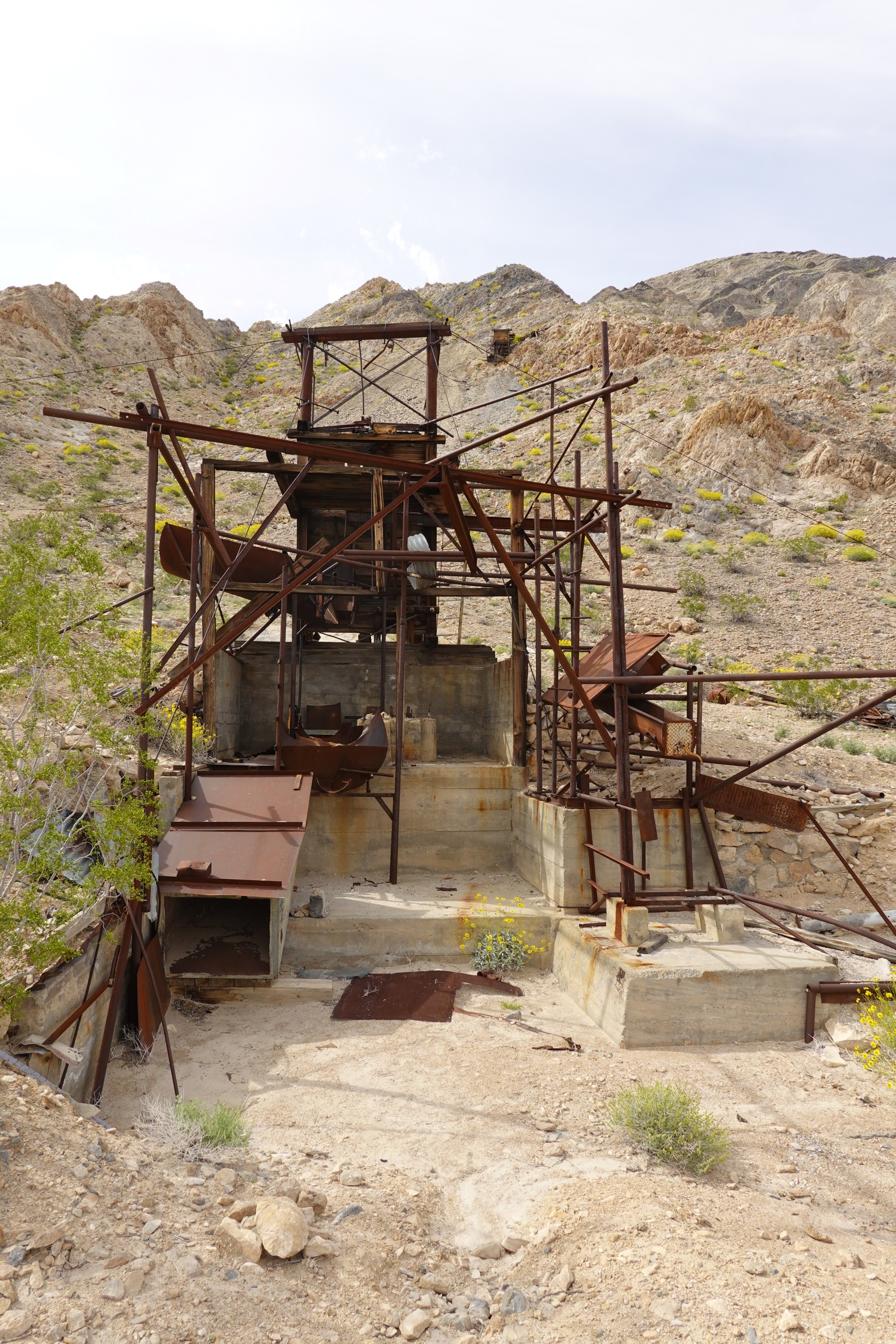
Here we exercise our best judgment... and turn around. As a consolation, we take our time to check out the Inyo Mine site.
Defeated by Echo Canyon, we're back on the flat ground. The future plans are of various degrees of ambition: (a) drive up to Ubehebe Crater, and take the Racetrack Road to Teakettle Junction and camp in Hidden Valley; and (b) drive to Stovepipe Wells, turn to Emigrant Canyon Road and find ourselves a place to camp somewhere in Panamint Mountains.
Since one vehicle is already without a spare tire, the Racetrack Road is out, and off we go to.
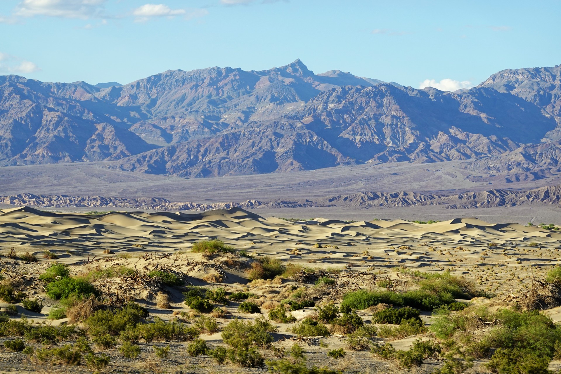
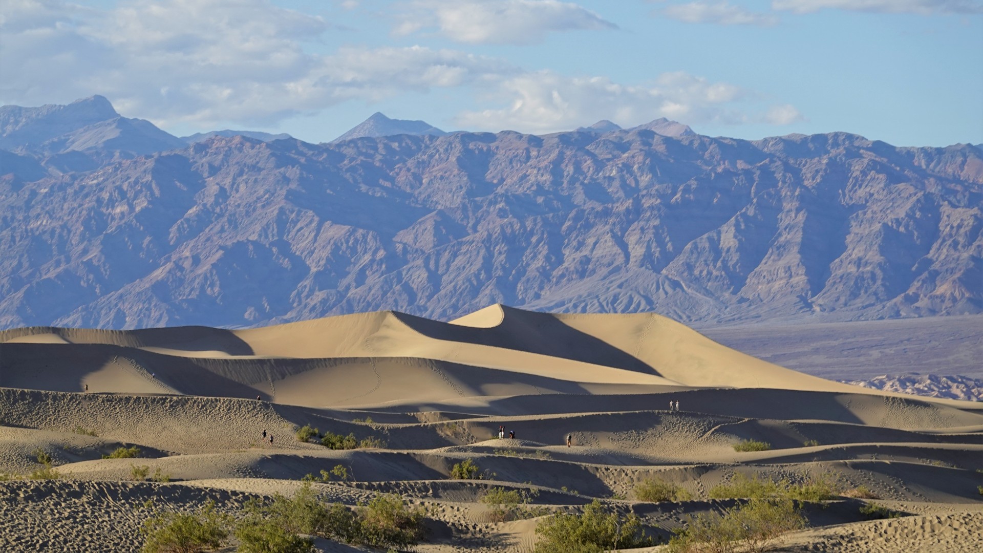
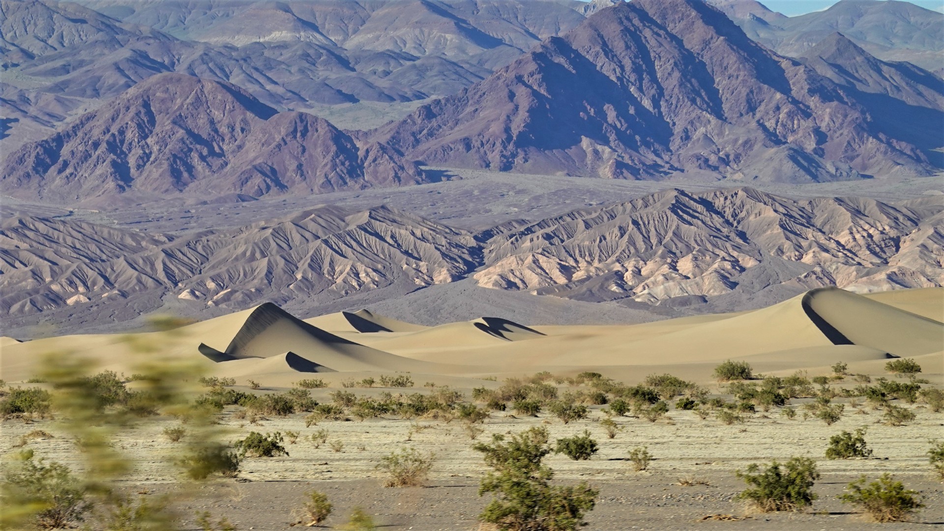
Mesquite Sand Dunes to Panamint Range
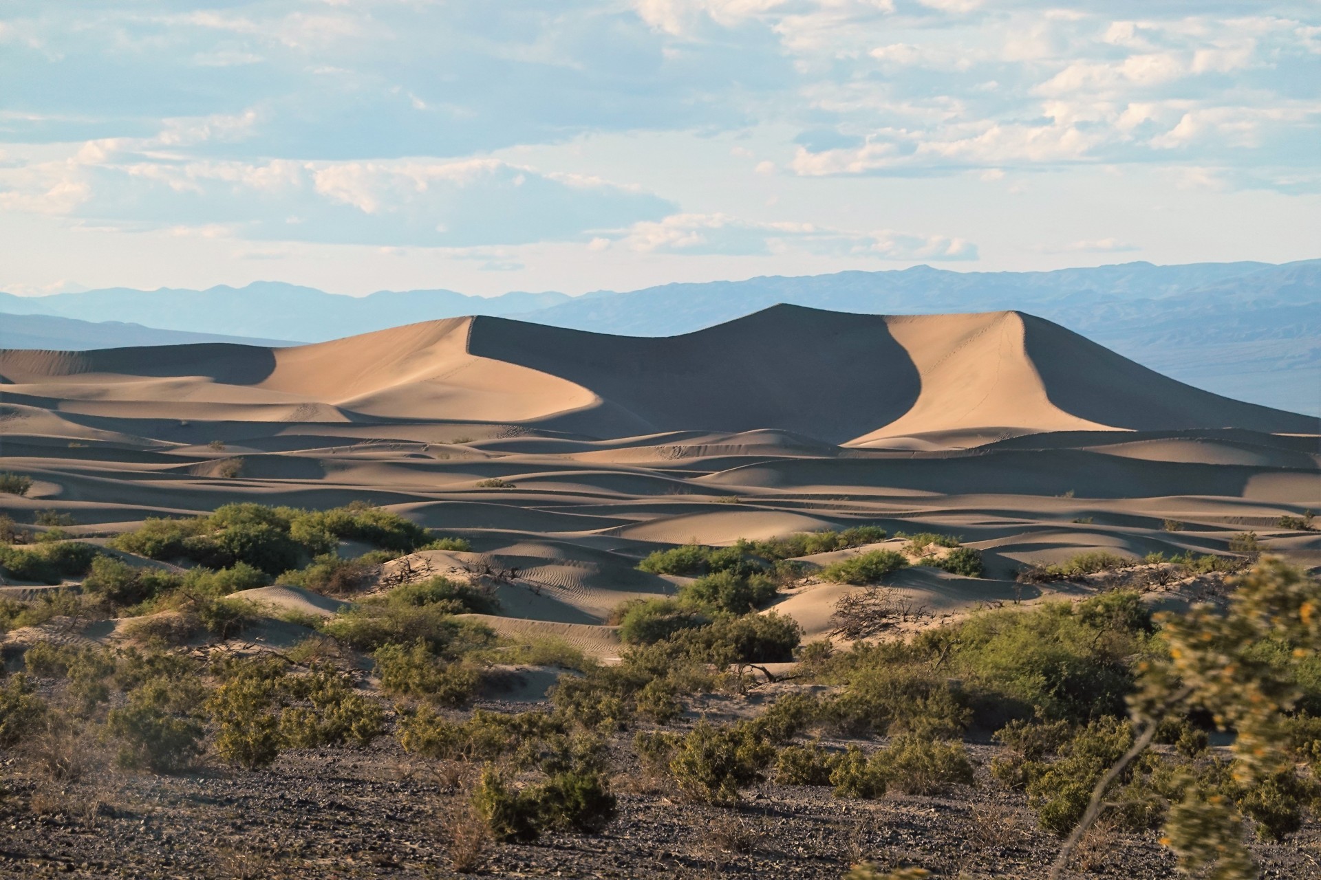
Along the way, we steal a glimpse of Mesquite Sand Dunes - very picturesque at early sunset.
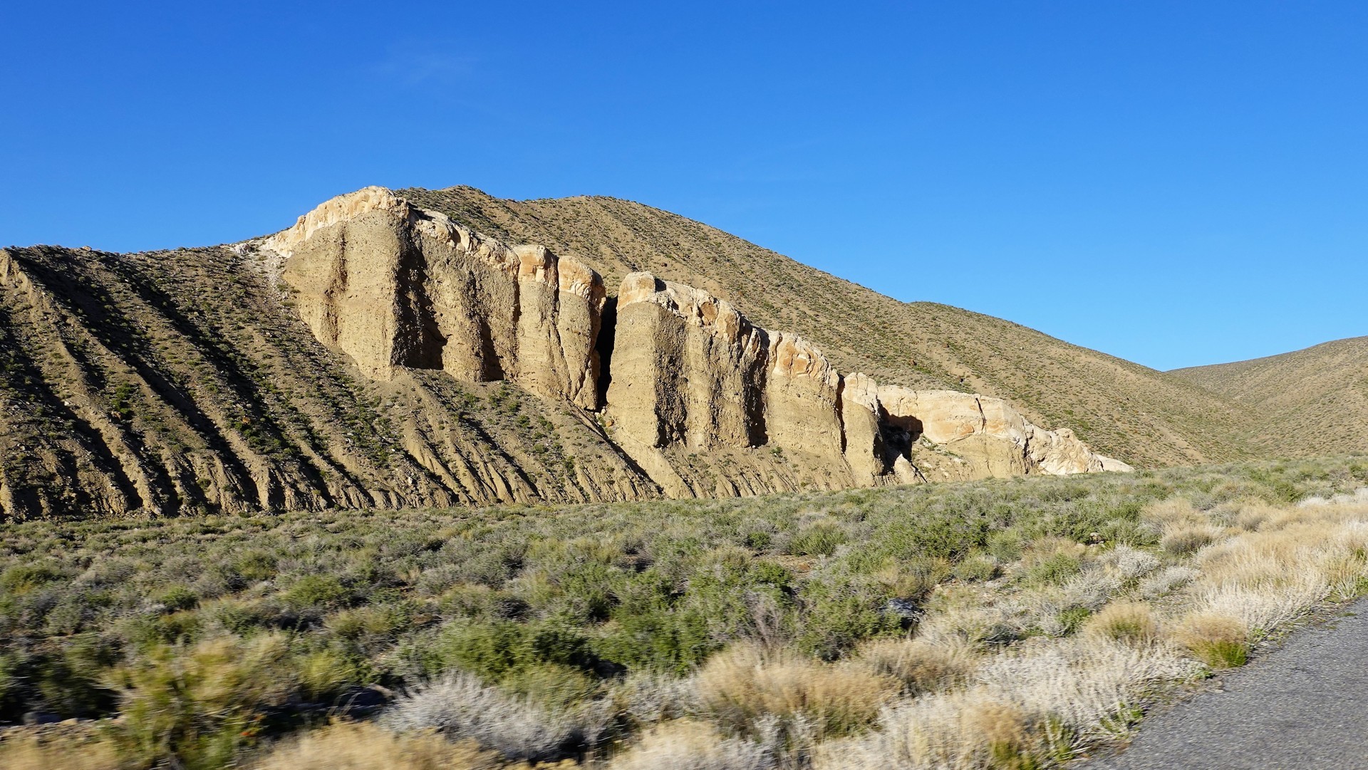
We pass Stovepipe Wells again without stopping for gas (regular only, anyway), and turn off to Emigrant Canyon. The scenery in places is pure Utah.
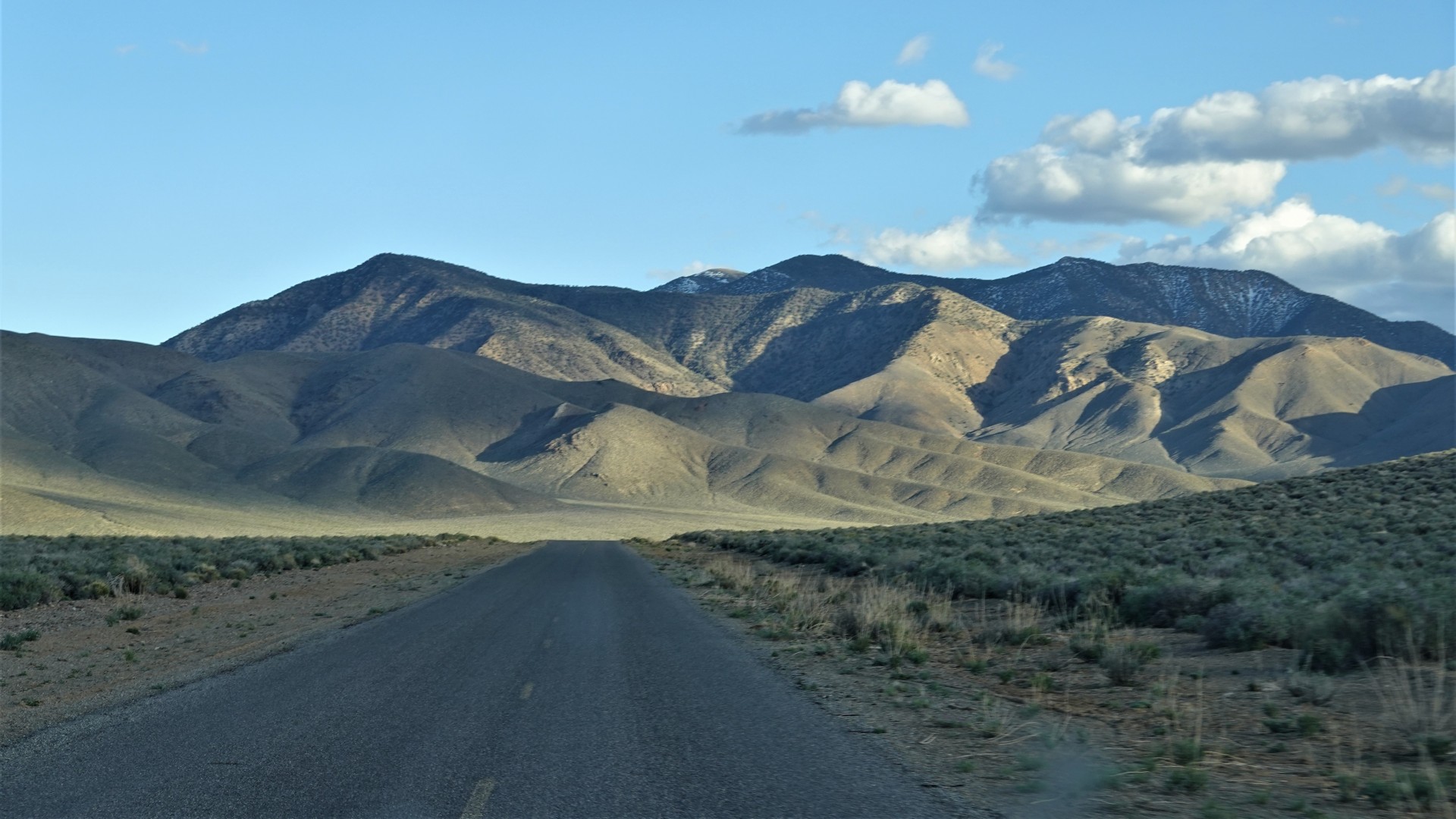
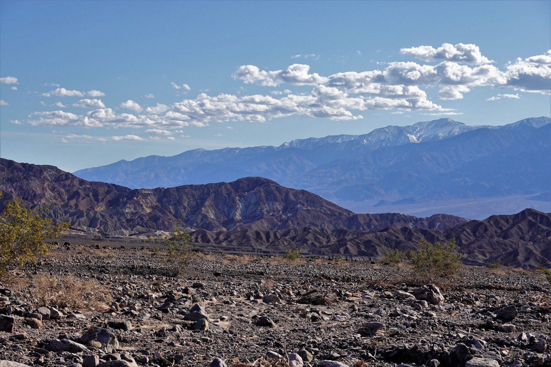
We get to see the Telescope Peak again, now from the opposite side. It is pretty.
Soon, we discover the side results of declaration of Death Valley a National Park in 1994: all side roads (leading to the potential campsites) are declared "Day use only, no camping."
We roll onwards, eventually reaching Wildrose Campground. The place is full of passive-aggressive people belonging in two vehicle classes - burly (but gigantic) Sprinter vans and the like, and Subaru tent campers. We hear them hissing along the way "where are these morons go? Can't they see the campground is full?"
We leave the campground and keep driving up Charcoal Kilns Road - until we see a little-used spur without any forbidding signs.
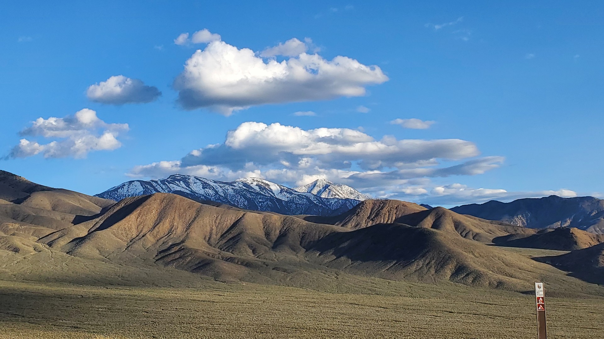
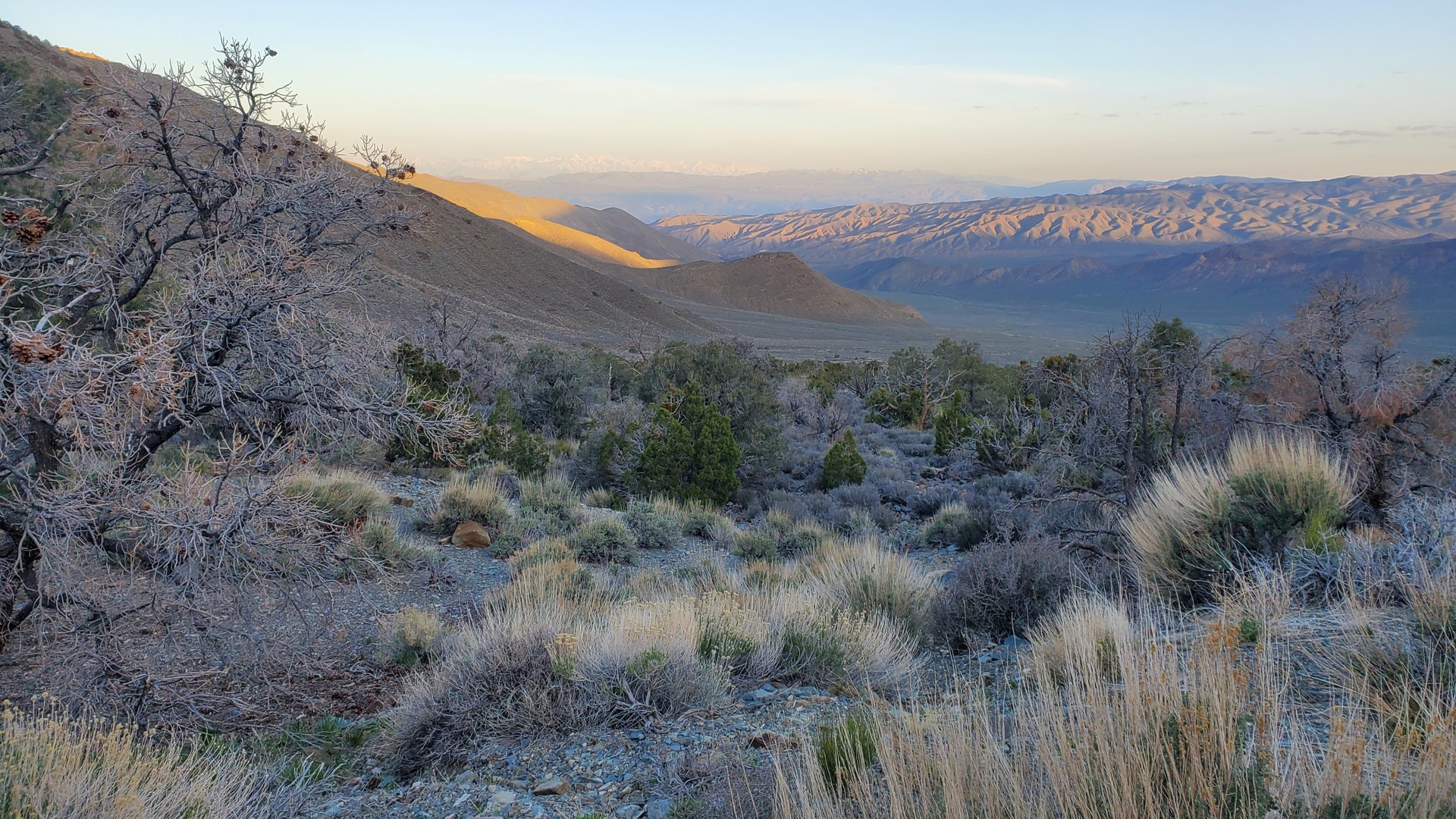
About a mile into it, we are at the best campsite in Death Valley, complete with a flat parking area and views of Sierra Nevada.
In the morning, we find out that the mountain in the middle is indeed Mount Whitney, the highest peak in continental U.S.
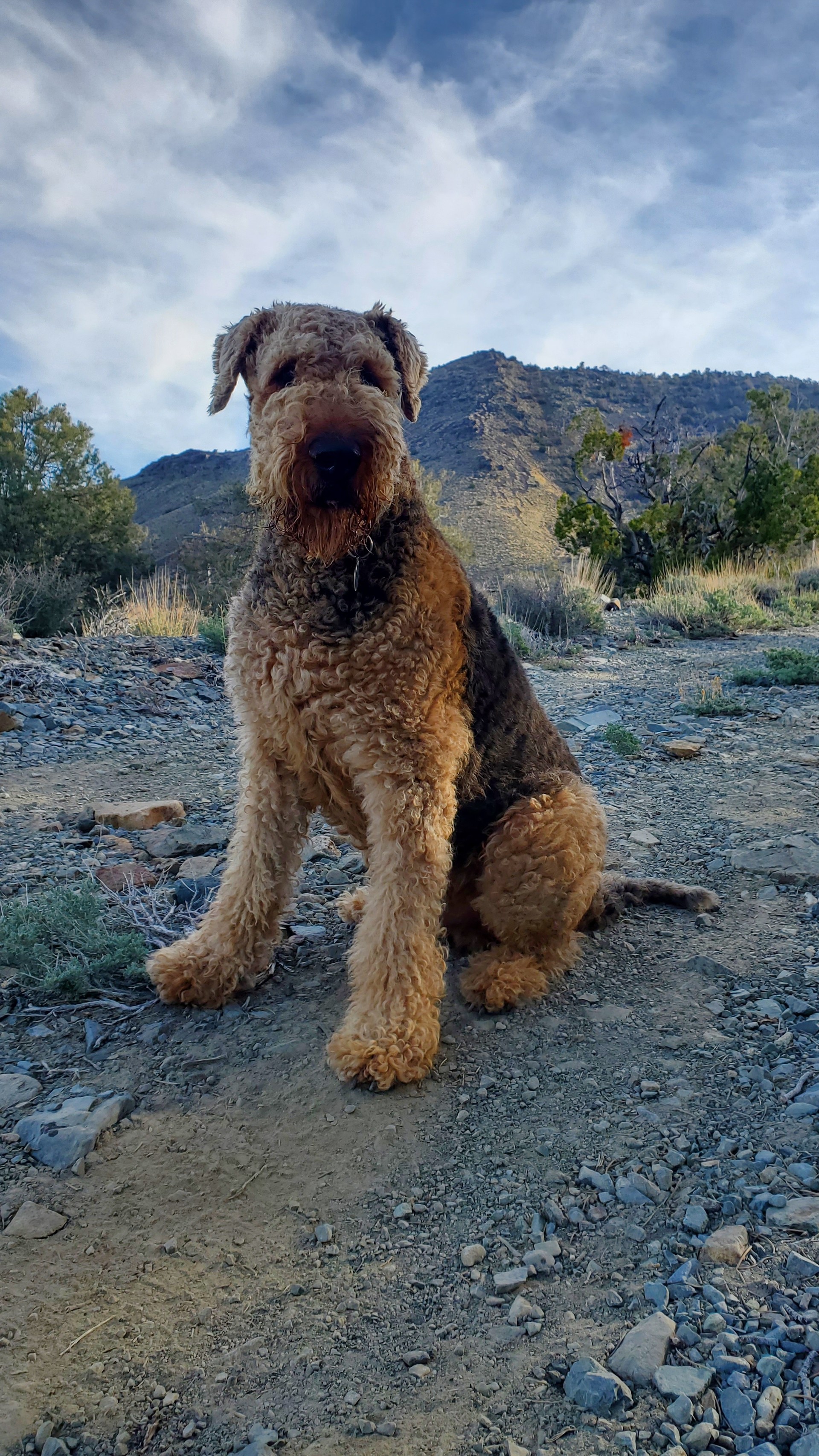
Jules is absolutely happy at 6500 feet, and doesn't want me to drive anywhere else.
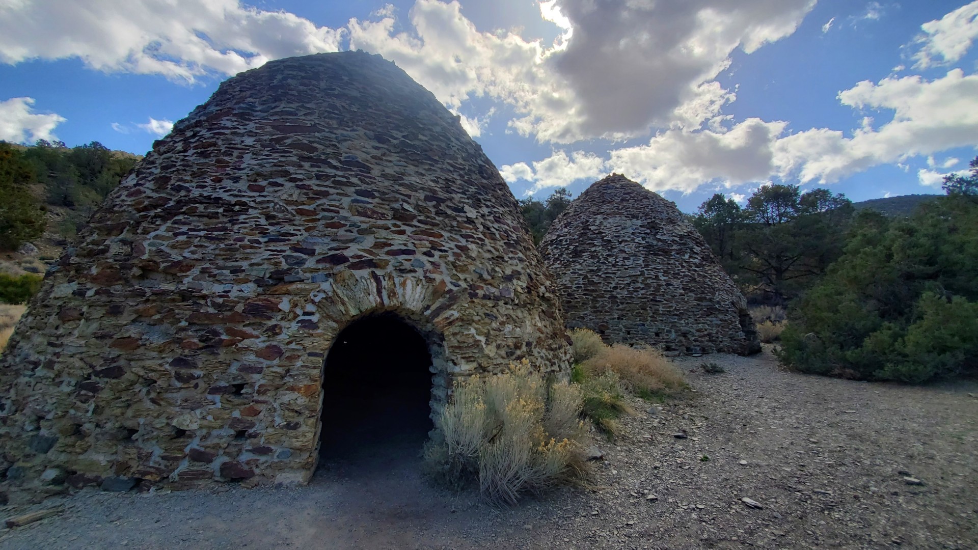
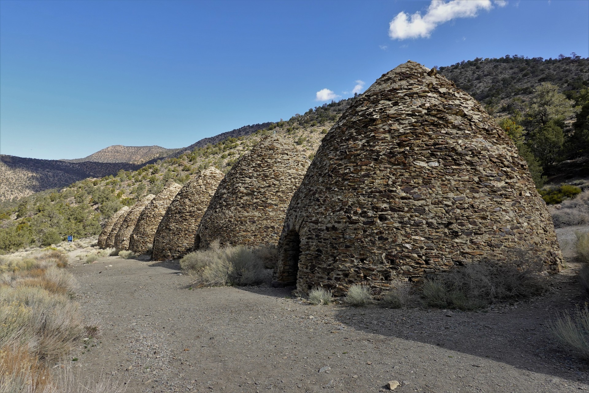
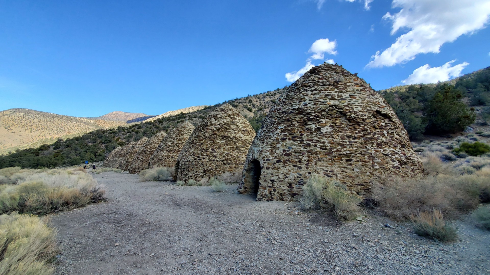
Our first drive in the morning is to the higher grounds, however - to the Charcoal Kilns.
A little bit of history: the kilns were built in 1977 by the Modock Consolidated Mining Company (partially owned by George Hearst, father of William Randolph Hearst), to provide fuel for the smelters serving lead-silver mines in Argus Range, west of Panamint Valley. The kilns are about 25 feet high. The process of converting local wood into charcoal involved heating wood above ~750F while limiting oxygen intake - which removes water, hydrogen, methane, and tar, leaving the "raw" fuel that weighs barely a quarter of the original weight of wood. It was a long ordeal, requiring many hours to get the process going and several more - for the charcoal to cool down enough to be removed from kilns and packed for transportation. For whatever reason, the Wildrose Charcoal Kilns weren't used for very long - barely for a couple of years, despine mines still being operational until ~1900.
Having seen enough of the kilns, we head downhill into Panamint Valley.
Once in the valley, Bob deems proceeding without a spare tire too risky, and parts ways with us. We turn north on Trona Wildrose Road, towards Panamint Springs Resort.
On our way, we stop to offer assistance or ride to the inhabitants of an overheated Dodge camper van; in Panamint Springs, gas turns out cheaper than in many locations before. We leave the lady owner of the van trying to place a call to a tow truck, and grab lunch at the restaurant.
The van owners seem to be somehow sorted out, and we leave Panamint Springs to take on Nadeau Road and try to get to Lookout City.
Nadeau Trail and Minnietta Mine
In mid-1800s, a French-Canadian pioneer Remi Nadeau established a route to haul supplies to, and silver from, Cerro Gordo mine, along the foothills of Argus Range bordering Panamint Valley. The trail is roughly parallel to present-day Trona Wildrose road, but closer to many former mine sites and towns in Argus Range. By the end of 1876, Nadeau's Cerro Gordo Freighting Company hauled about ten thousand of 90-pound silver bars worth nearly four million dollars.
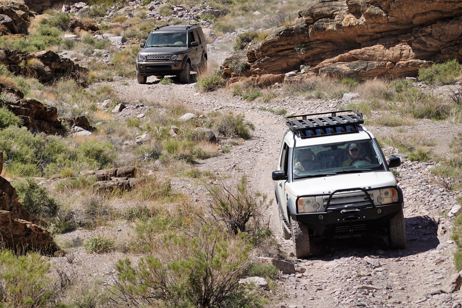
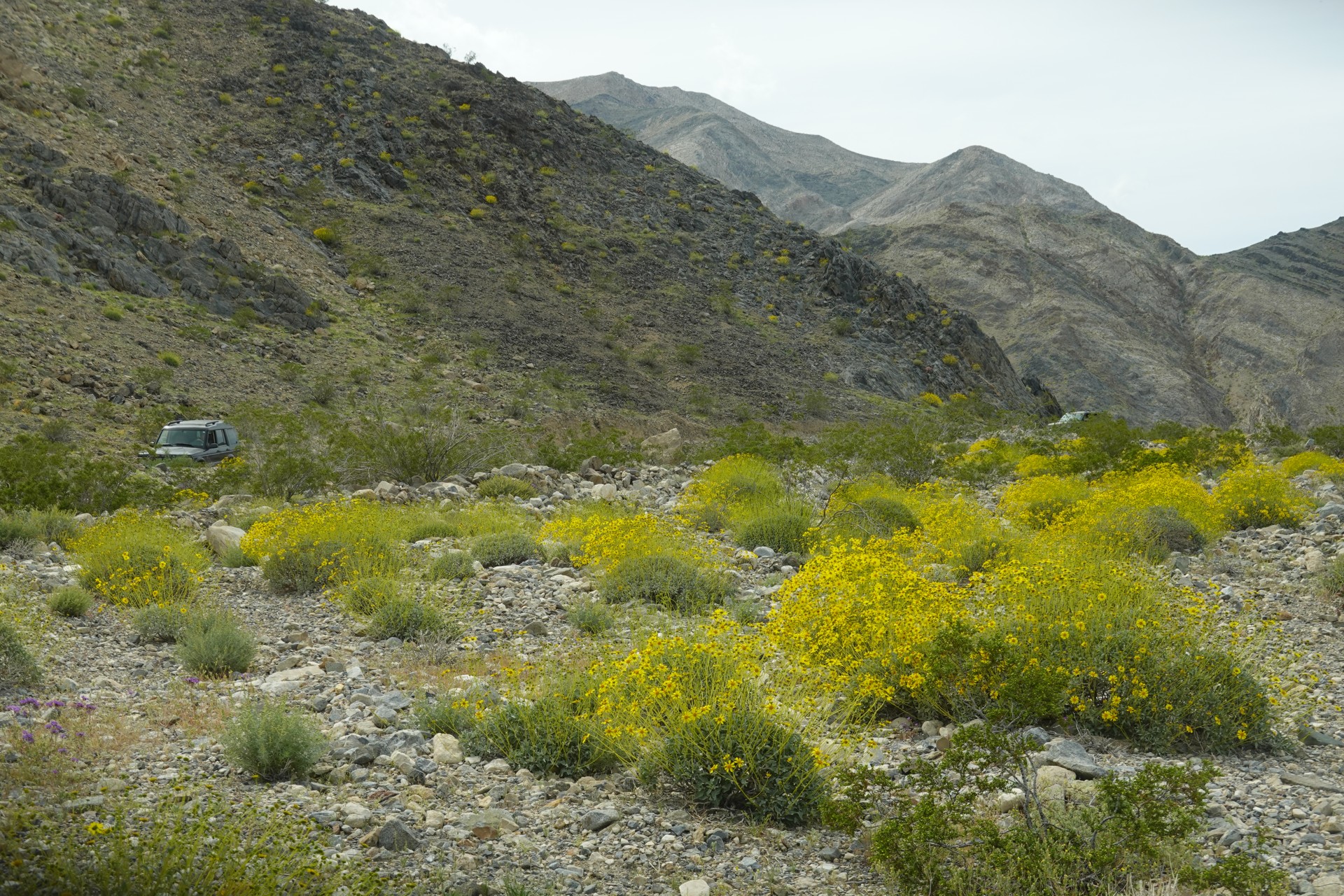
At present, the trail is nearly 28 miles long, but we aren't ambitious enough to drive its entire length. It can be pretty rough in places, including deep washouts, rocky and sandy areas, so those of us who aired up earlier elect to air down.
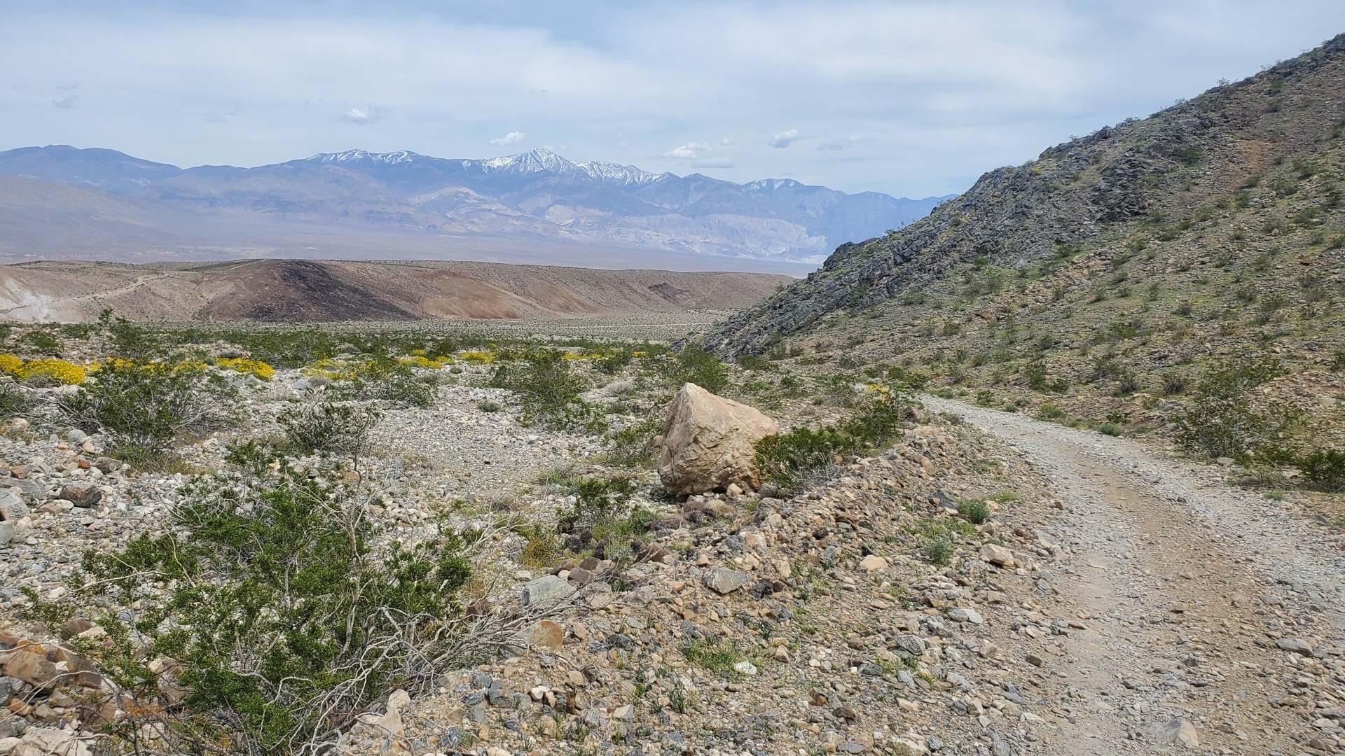
The wildflowers are all around us.
Our attempt to reach the Lookout City ghost town site expires at the first loose waterfall. As with our failed attempt to cross the entire Echo Canyon trail, we find ourselves staring into a difficult climb in mid-afternoon.
Jules suffers immensely from heat, so I decide to turn around, roll up the windows, and crank up the air conditioning.
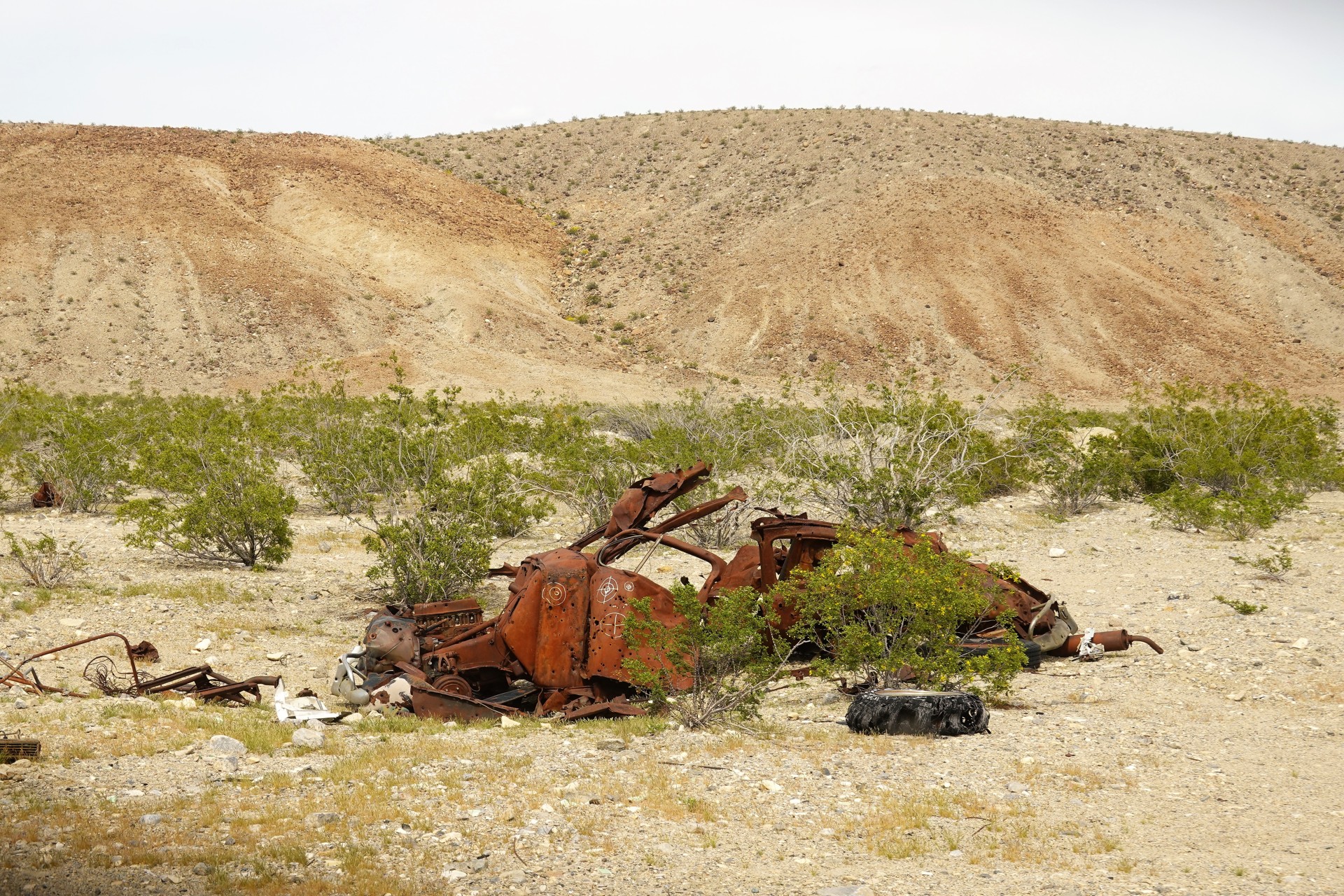
We follow the rougher branch of the trail tracing the foothills of Lookout Mountain that housed Lookout City as part of Modoc Mining district, going towards Minnietta Mine that was also part of the district.
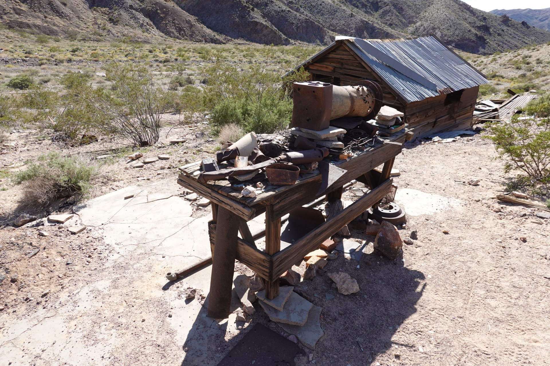
Minnietta Belle mine operated intermittently until 1915, and then reopened in 1924. It produced about a million dollars' worth of silver, lead, and gold, during its years.
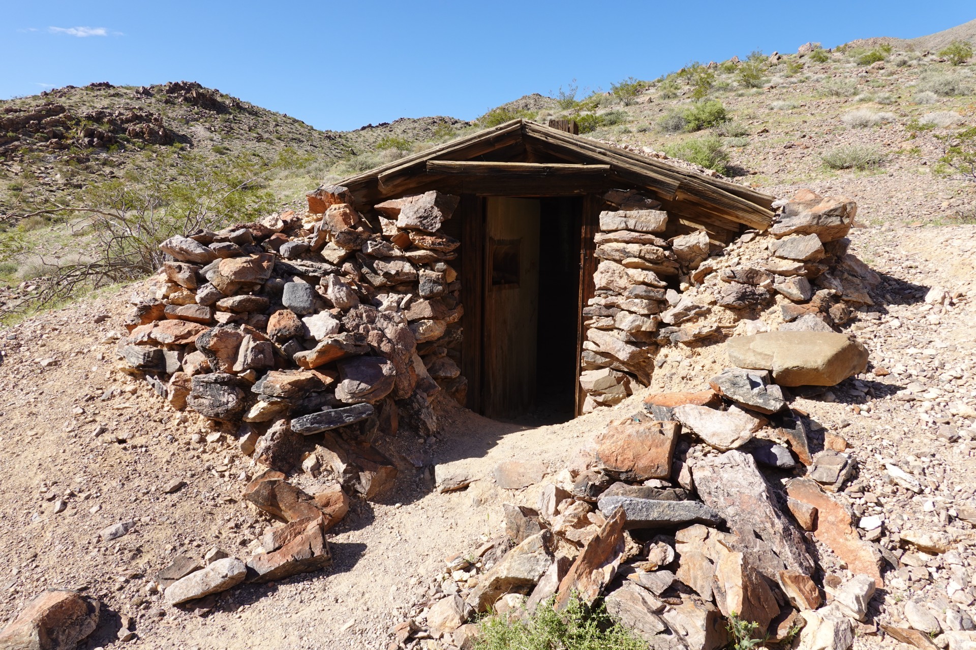
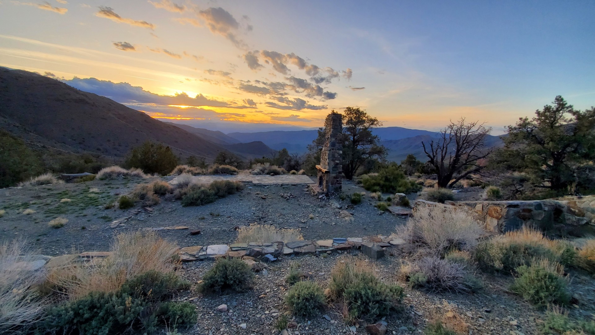
Now, multiple artifacts of the mine still exist, as well as one well-preserved cabin further up the canyon.

By about five in the afternoon, we have enough of the mine remains, and hit the road south - towards Trona Pinnacles.
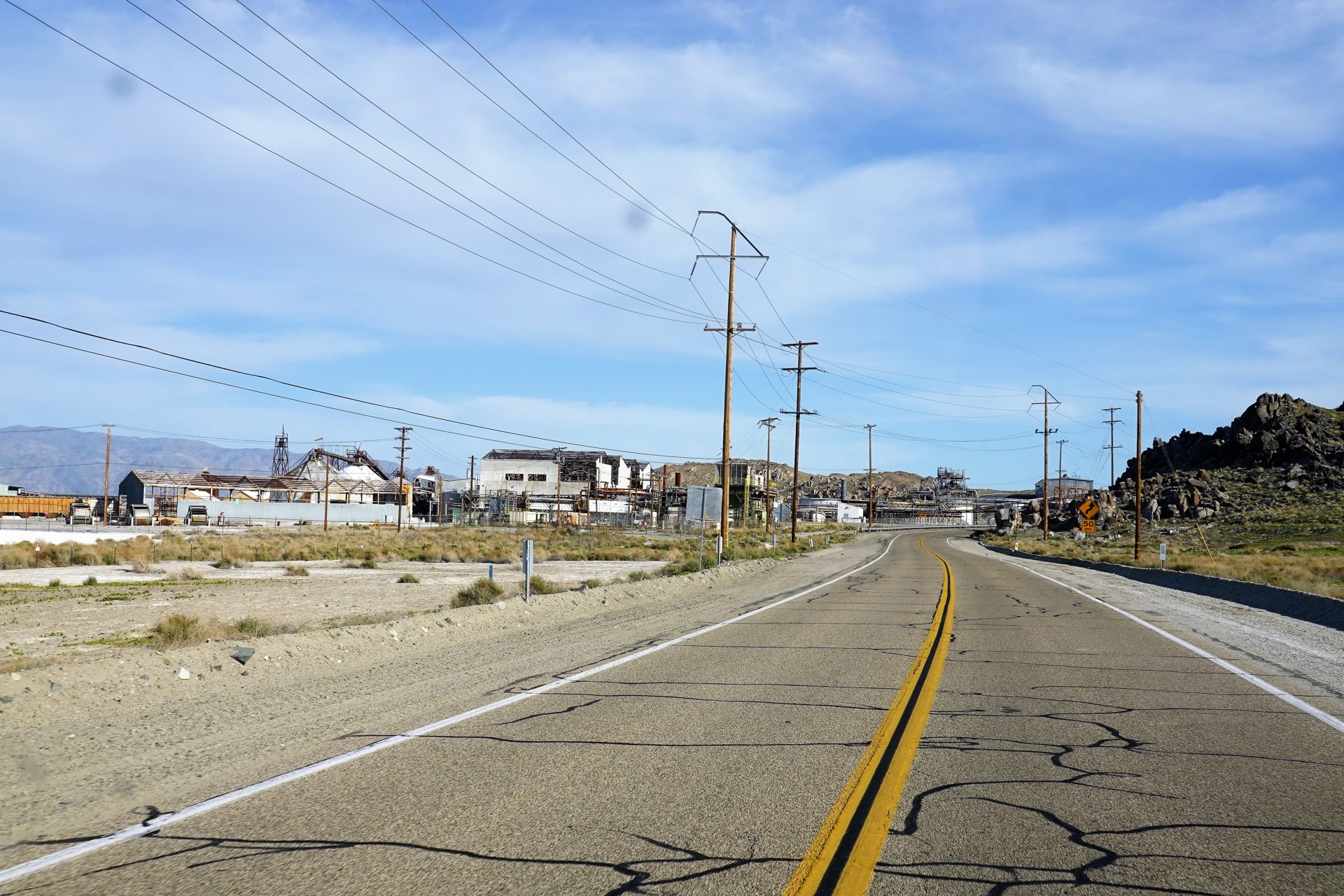
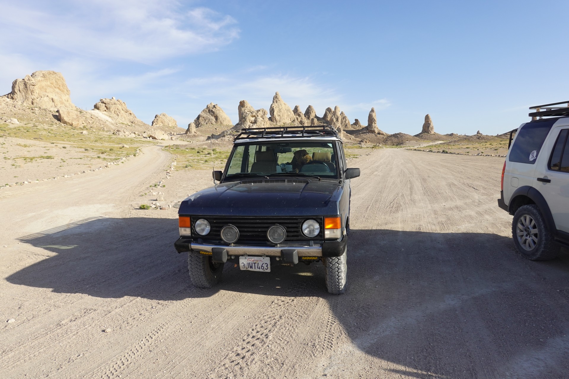
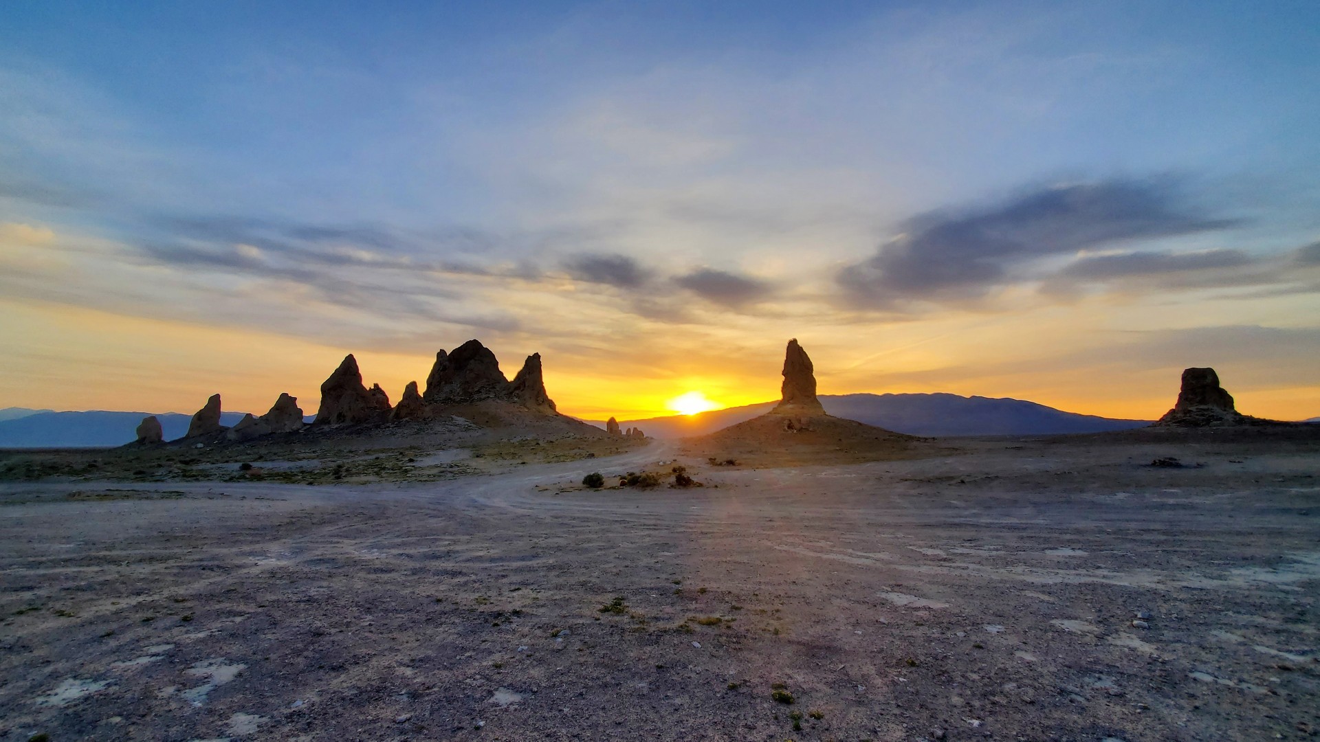
Trona Pinnacles
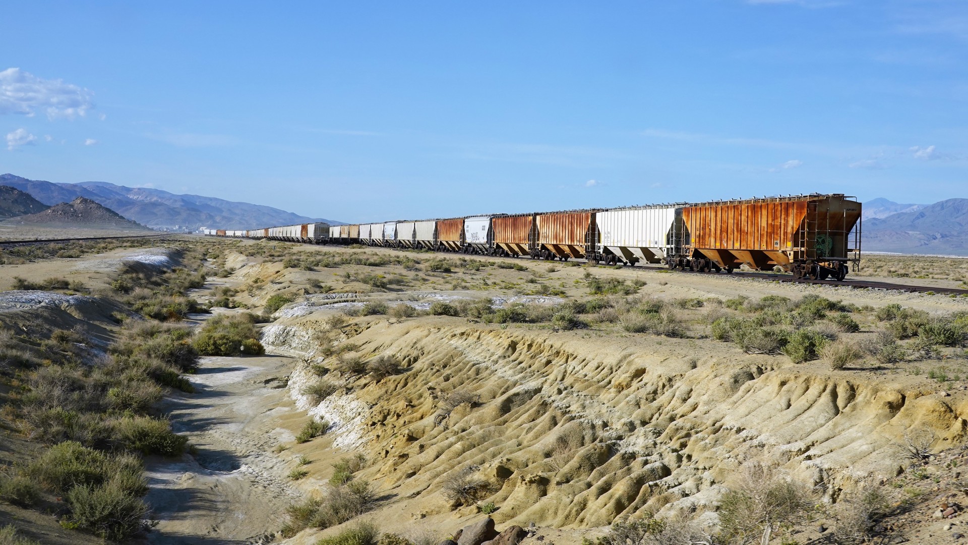
The road to the Pinnacles takes us through the town of Trona (read up on that!), with the immense Searles Valley Minerals processing plant. The company extracts and ships about 1.75 million tons of borax, boric acid, soda ash, salt cake, and salt, a year - using the company-owned Trona Railway.
The power for the company is delivered by the last operating coal-fired powerplant in the state of California - Argus Cogeneration Plant.
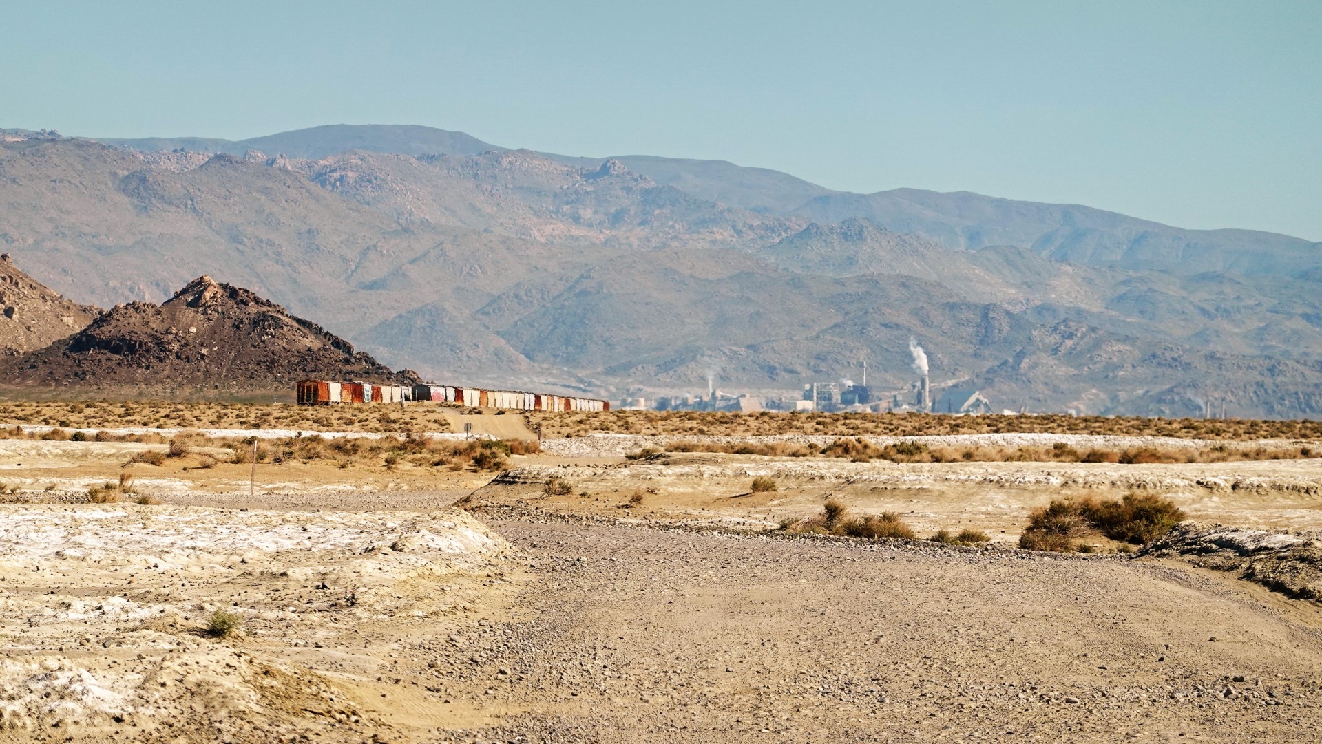
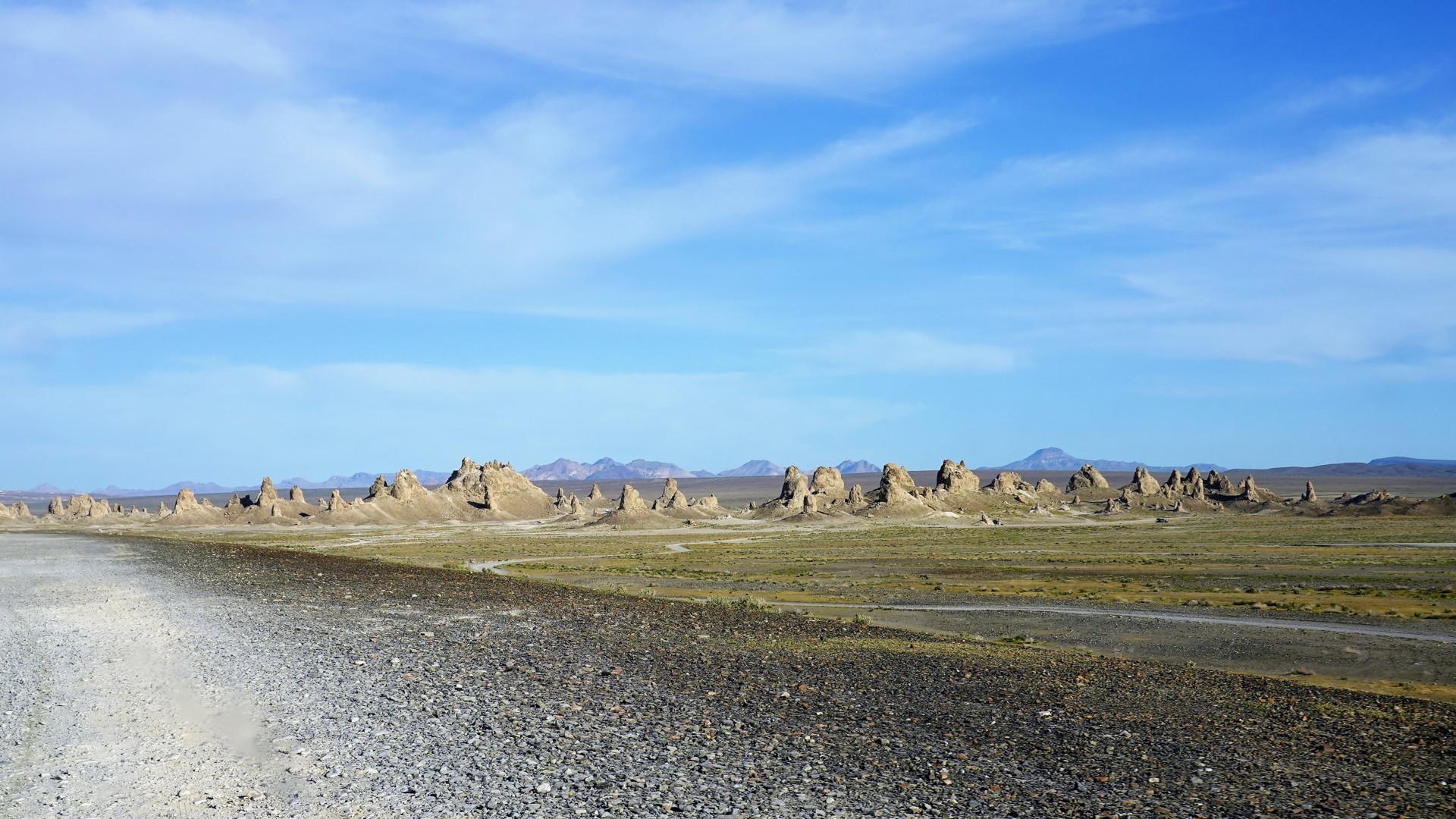
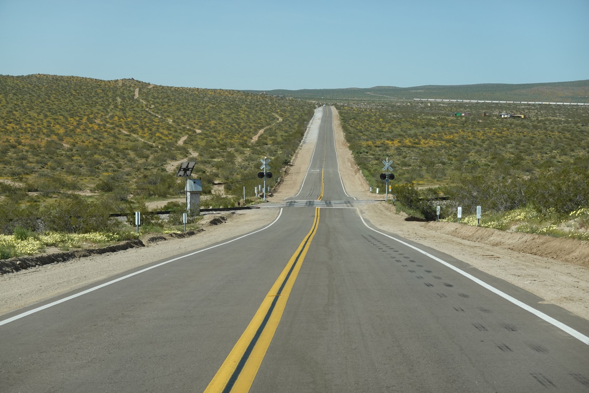
The Pinnacles are seen from pretty far away - but they really open up a mile after the railroad crossing.
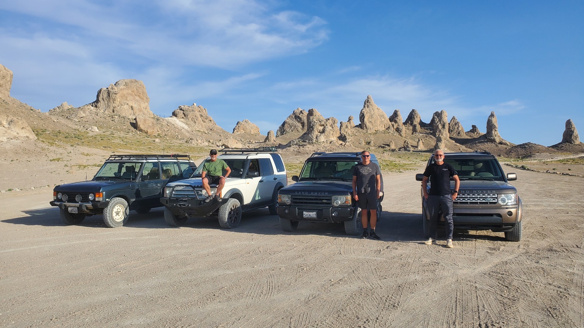
As a geological curiosity, they are of the same origin as Mono Lake Tufa towers - being deposits of hot carbonated water rising from the bed of old Searles Lake basin. These tufa spires reach up to 140 ft in height, and there are about 500 of them scattered around 14 square miles of the old lakebed. It is rather unusual that, despite its designation as a U.S. National Natural Landmark, the Pinnacles area remains entirely accessible by a vehicle, with little roads and trails snaking around the largest tufa formations. Camping is also allowed - so we spend some quality time looking for a site that is flat, somewhat in shade, and somewhat shielded from the wind.
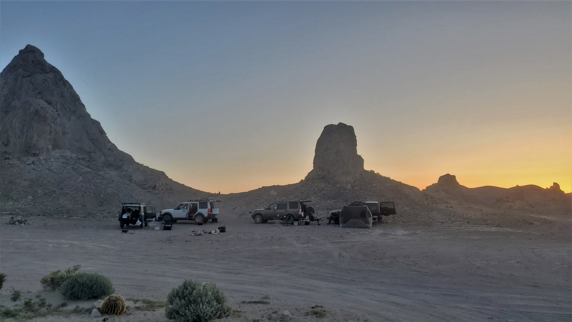
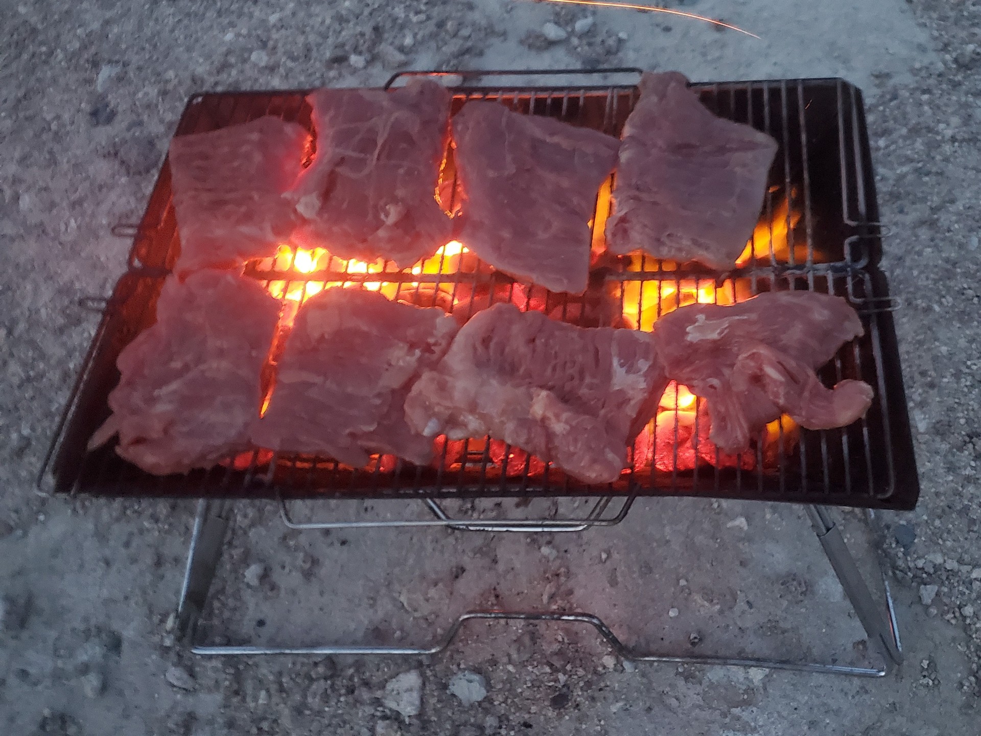
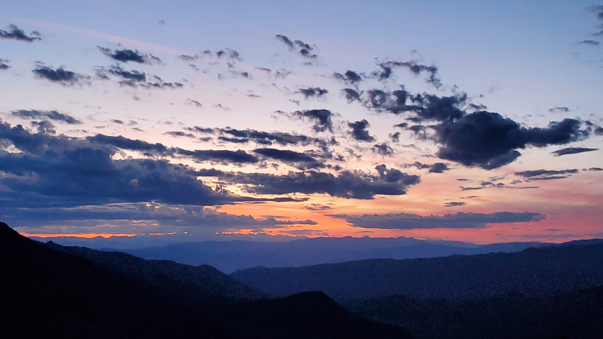
We enjoy not having to set up camp in the dark, and enjoy skirt steak, veggies, and drinks long after sunset.
The air in the evening cools off significantly, but Jules is still hyperventilating. I don't get much sleep that night.
Everyone gets up early in the morning, but we are not in a hurry to pack up and leave. Jules is in much better shape, too - we go for a long walk.
Once the camp is stricken, we are on our way home. However, halfway down Trona Road, our paths diverge again - Brian heads home, while Chris, Danny, and I still have a few things to check out.
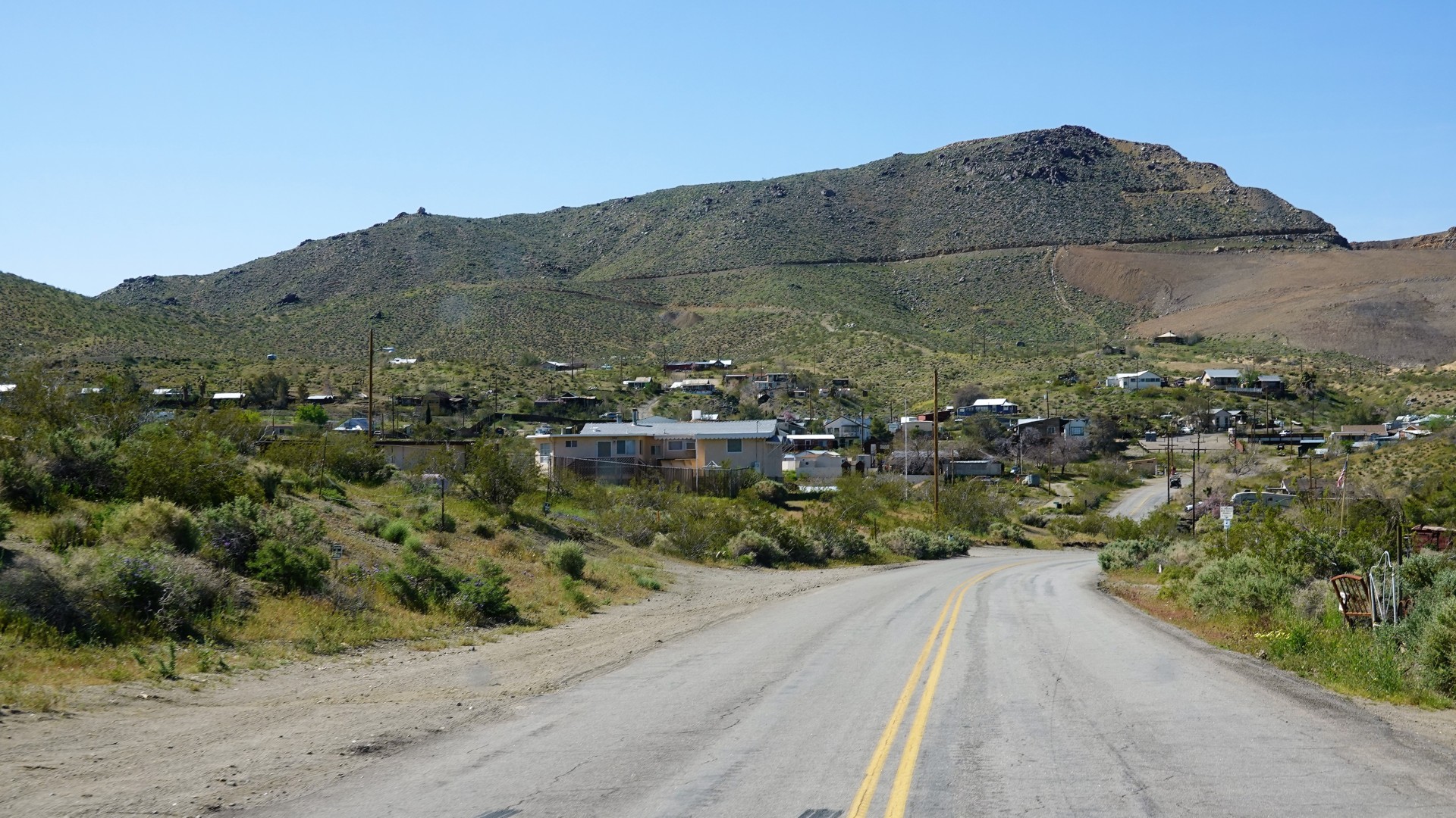
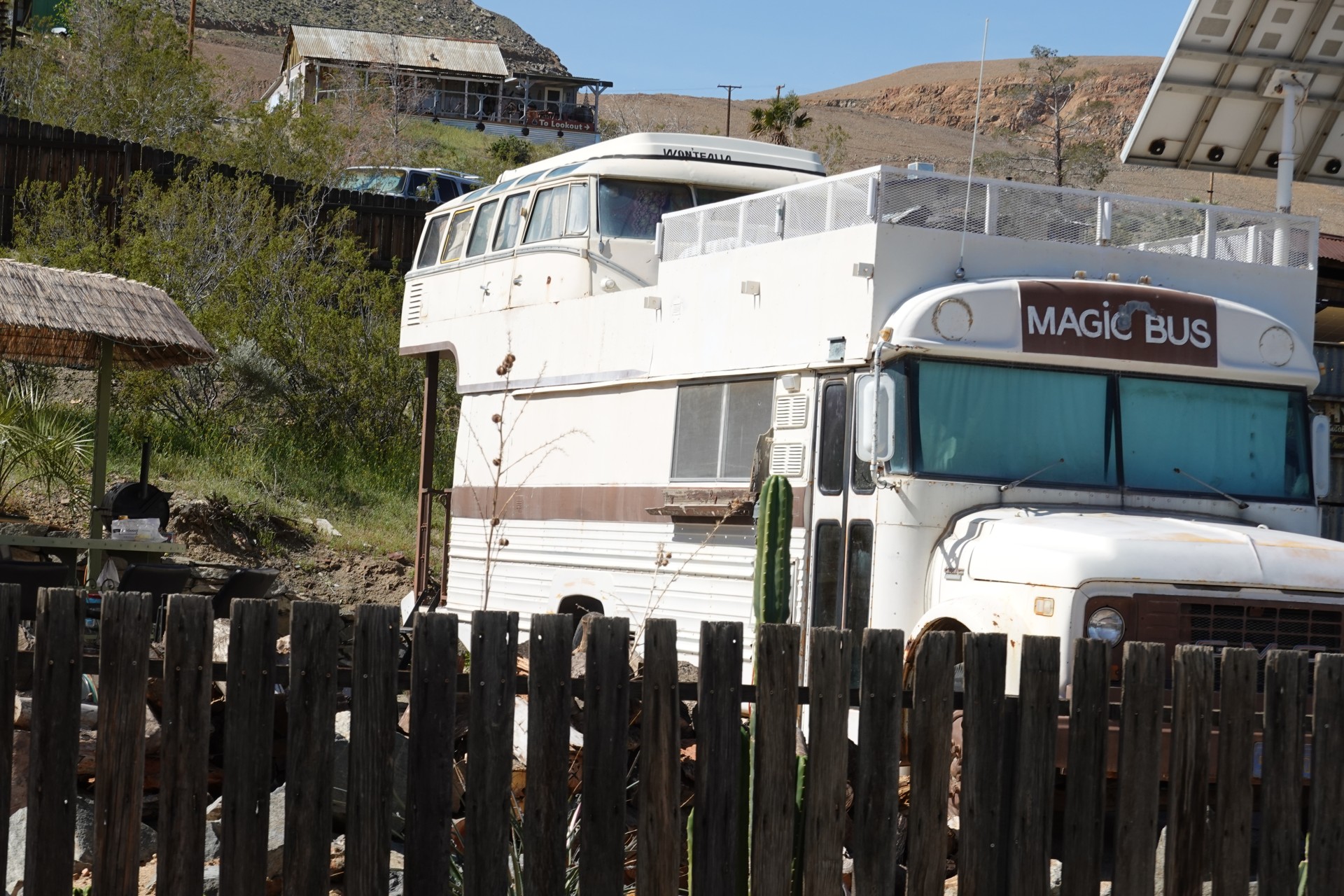
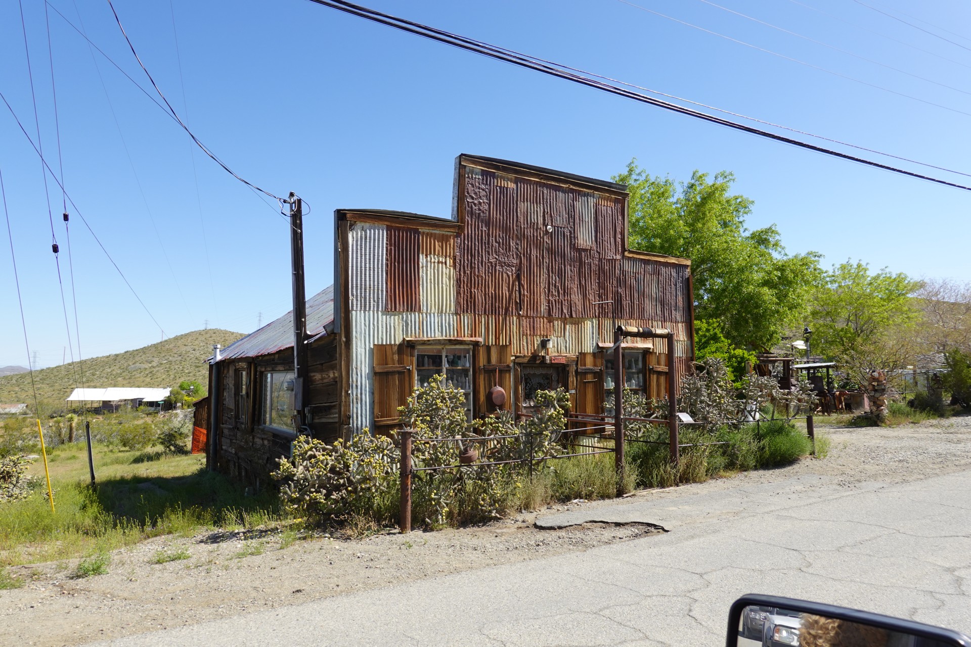
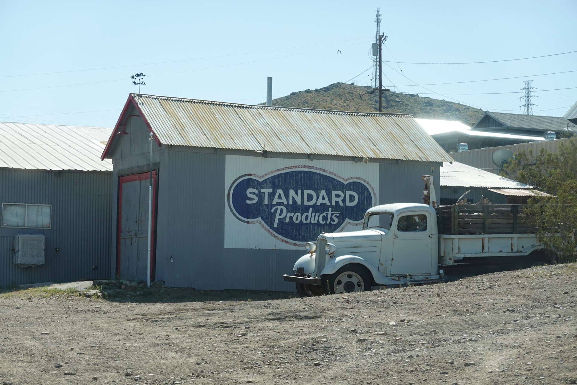
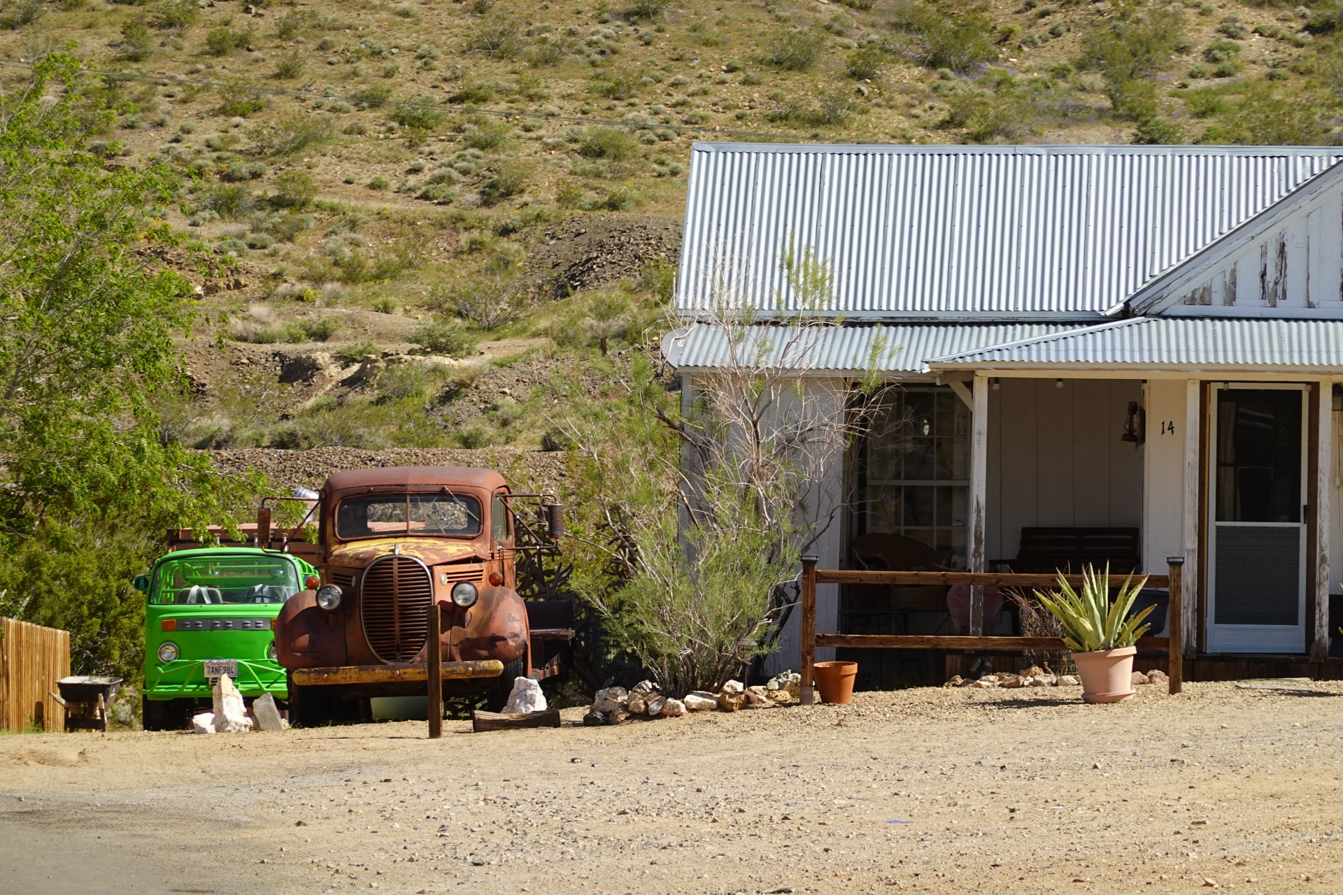
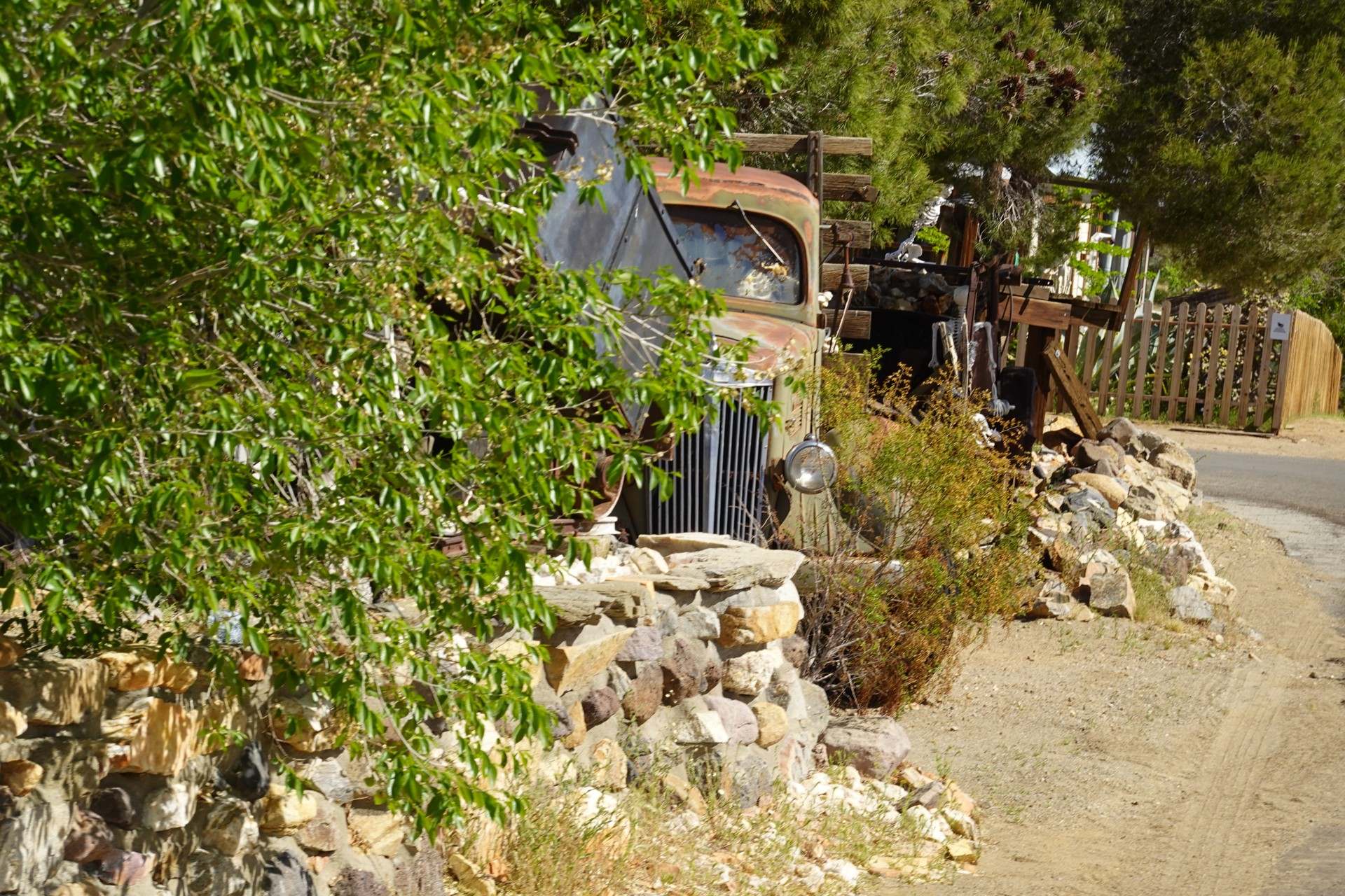
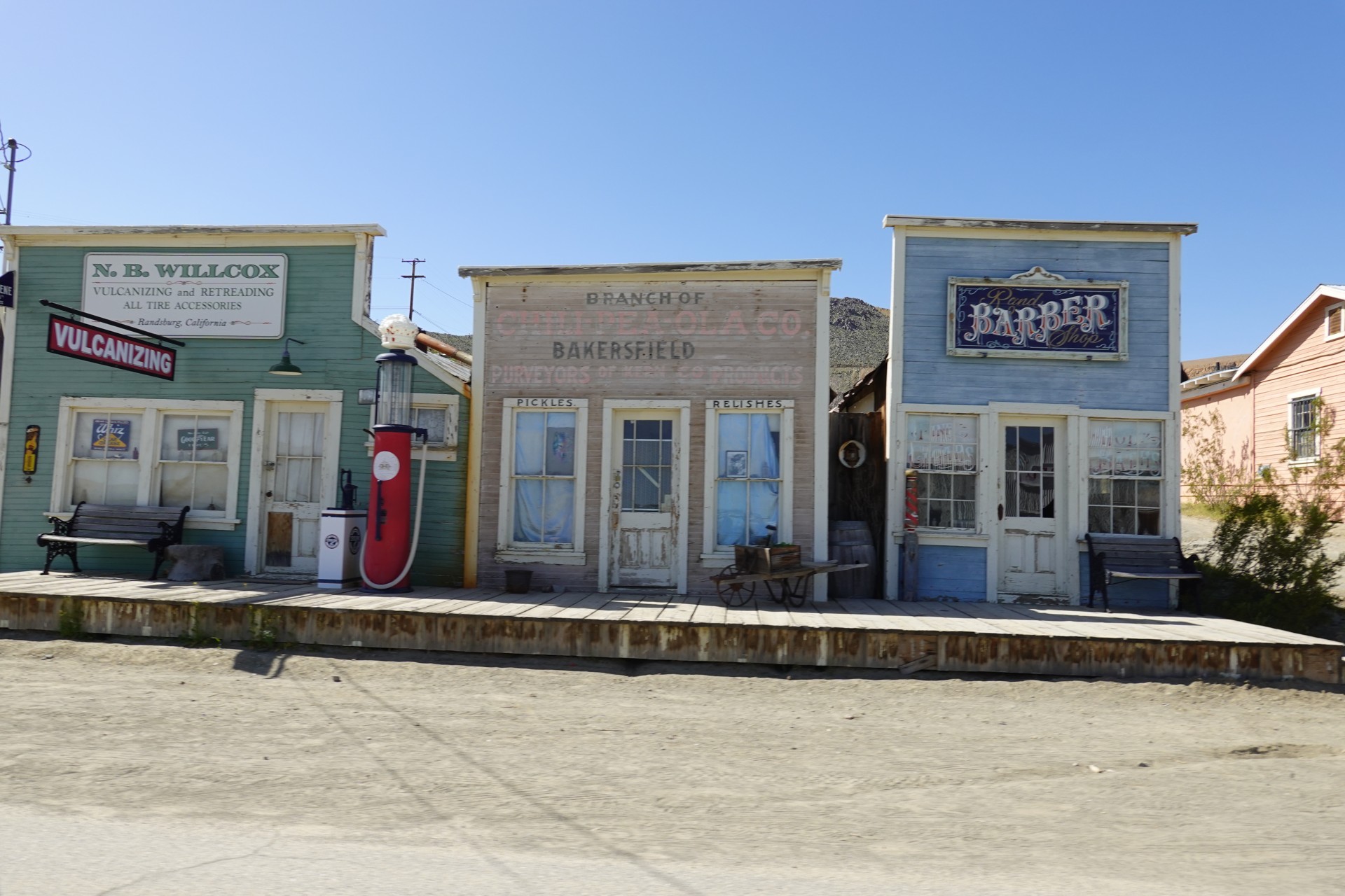
The town of Randsburg comes first.
Randsburg to Mojave
According to Wikipedia, in 1895 gold was discovered at Yellow Aster Mine, and a mining camp was built nearby. Both mine and camp were named after a similar gold mining location in South Africa. The Rand Mine has a distinction of having produced more silver than any other mine in California, but by 1929 it was no longer profitable and was closed.
The town is still alive, however, and houses about 60 or 70 "desert rats" of various walks of life. The main street is lined by buildings that are more than a hundred years old, including an Opera House.
We don't stop for a walk, but drive slowly back and forth to take in the views.

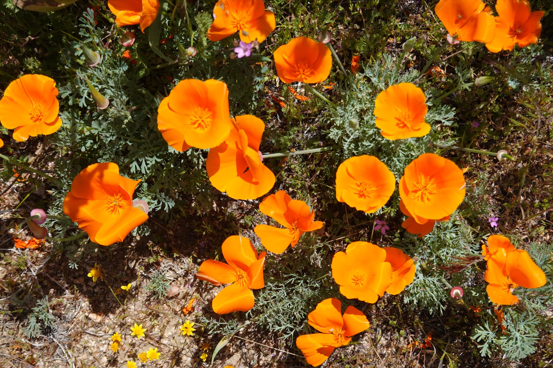
In the morning, while discussing plans for the day, we decide to check out the California Golden Poppy bloom in Antelope Valley; there's a neat way from Randsburg to Lancaster - Redrock Randsburg road. It starts off winding down the slopes of Red Mountain, and then beelines towards the Mojave desert town of Garlock.
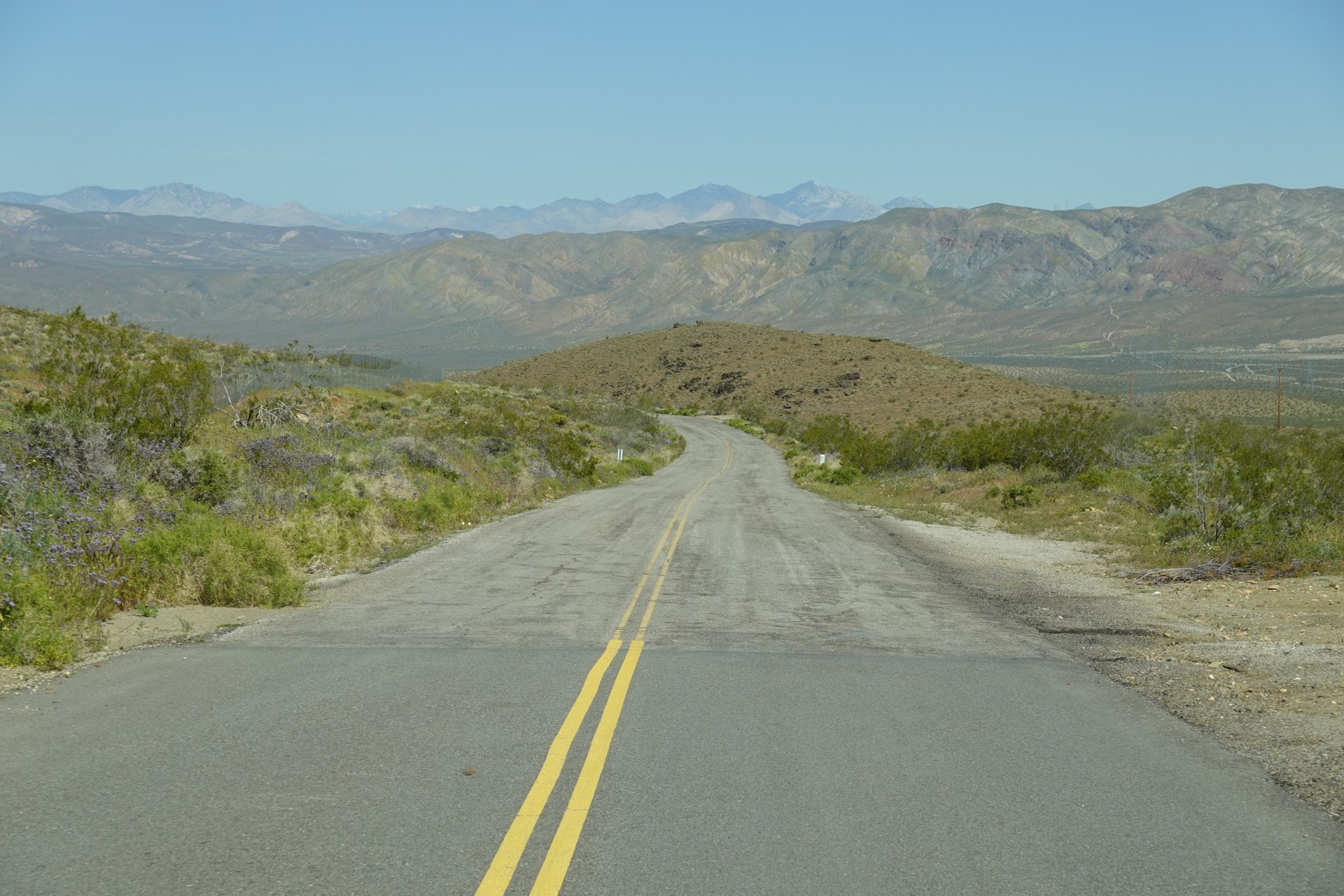
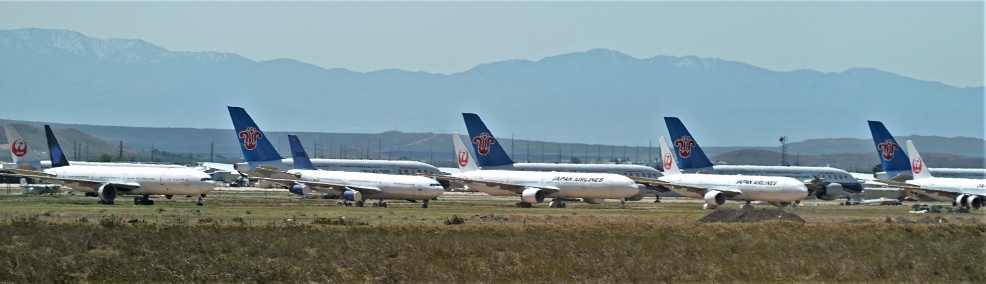
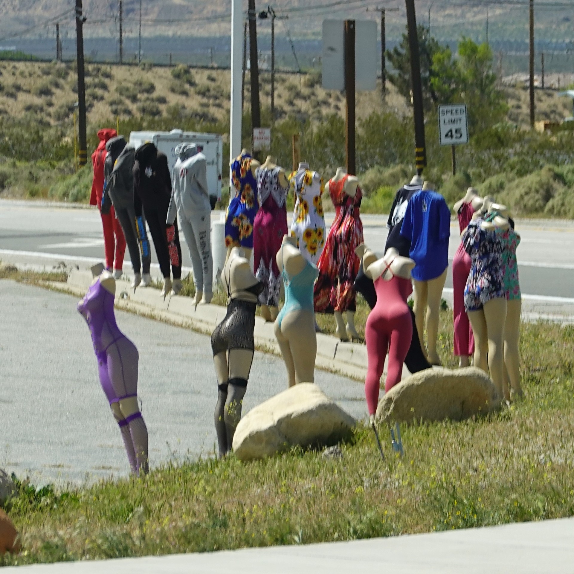
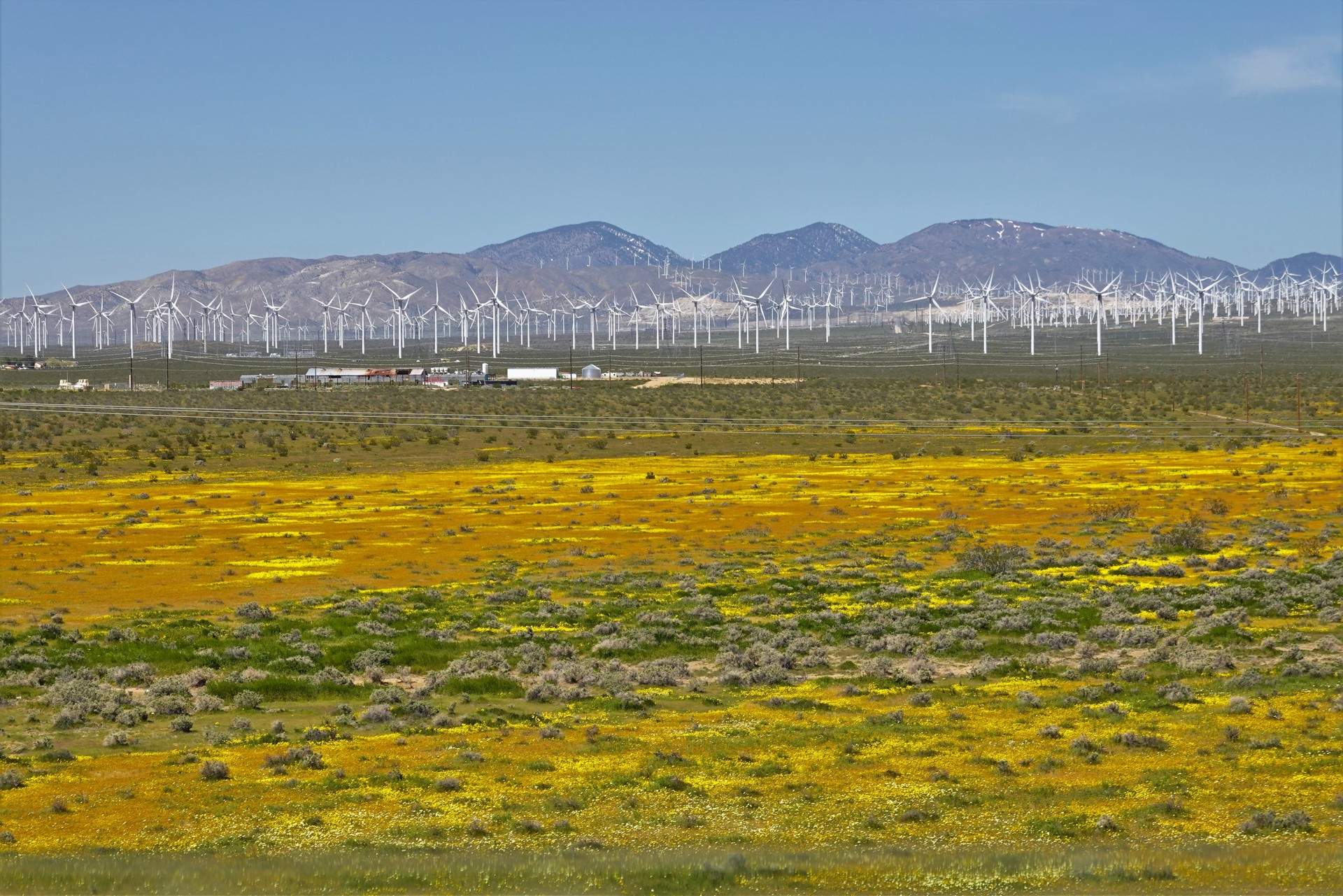
We hit California SR 14 just south of Red Rock Canyon state park, and pass through the attractions of town of Mojave.
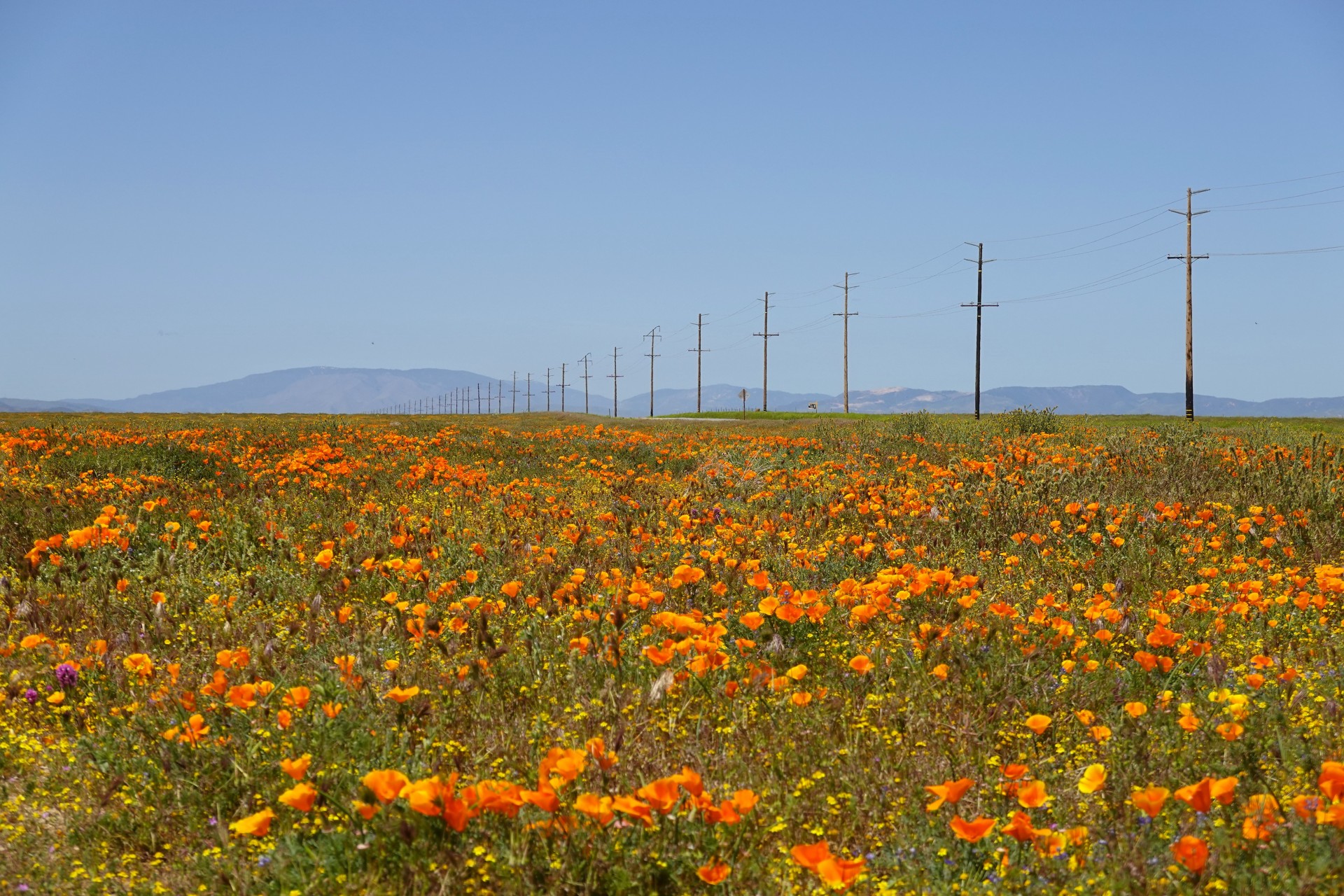
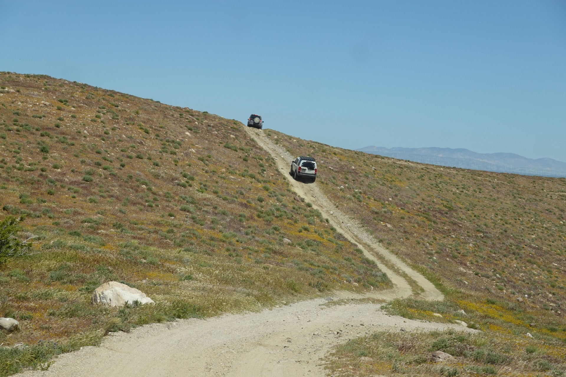
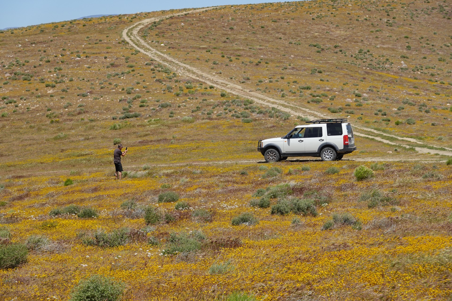
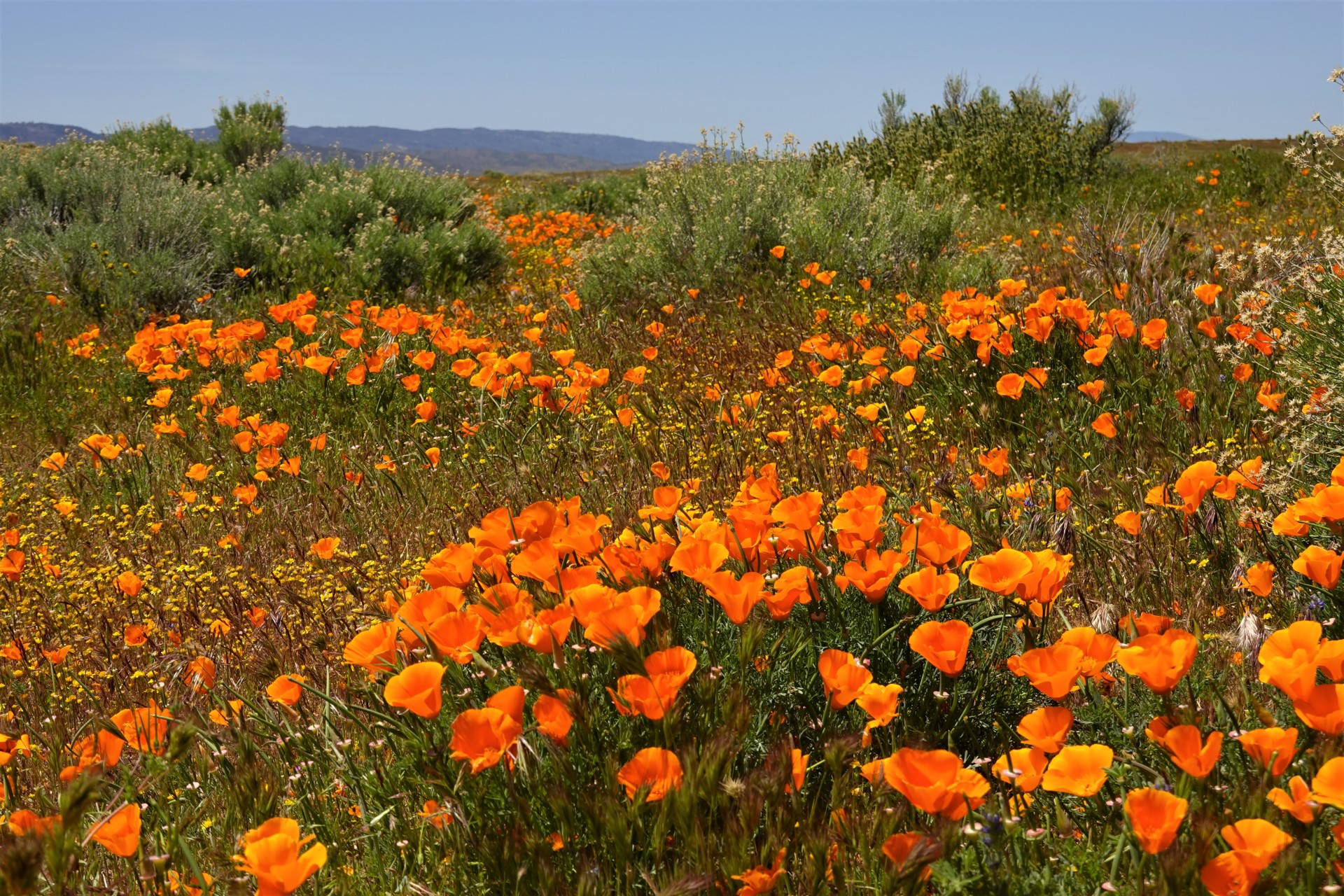
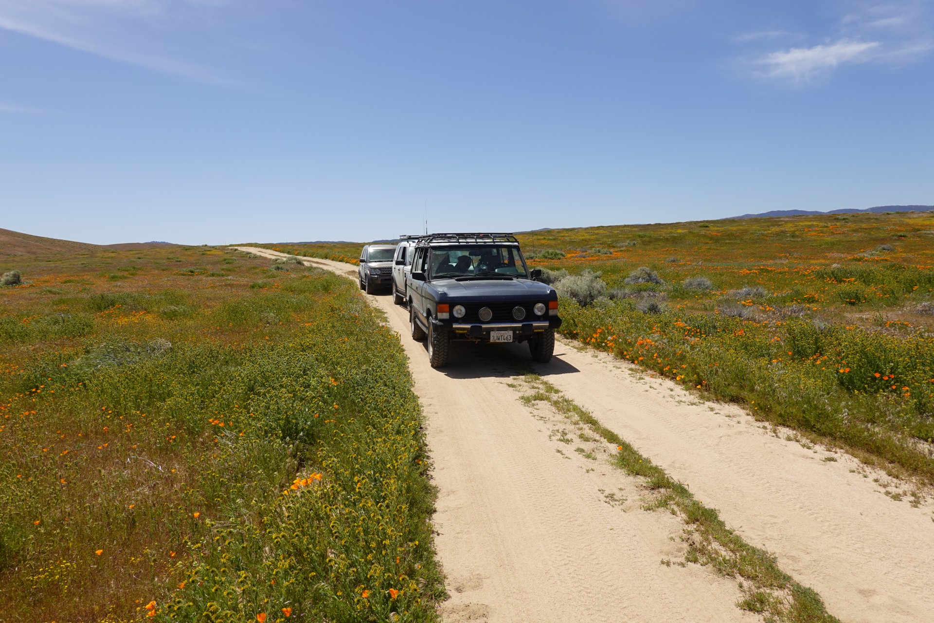
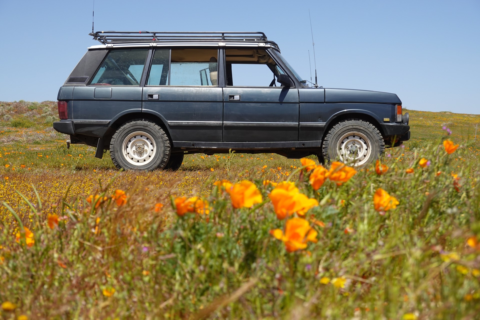
Before reaching Lancaster, we turn right on Highway 138, towards Antelope Valley. We leave the blacktop for a web of dirt roads covering the hilly terrain near the Antelope Valley California Poppy Reserve - the poppies make themselves seen right away.
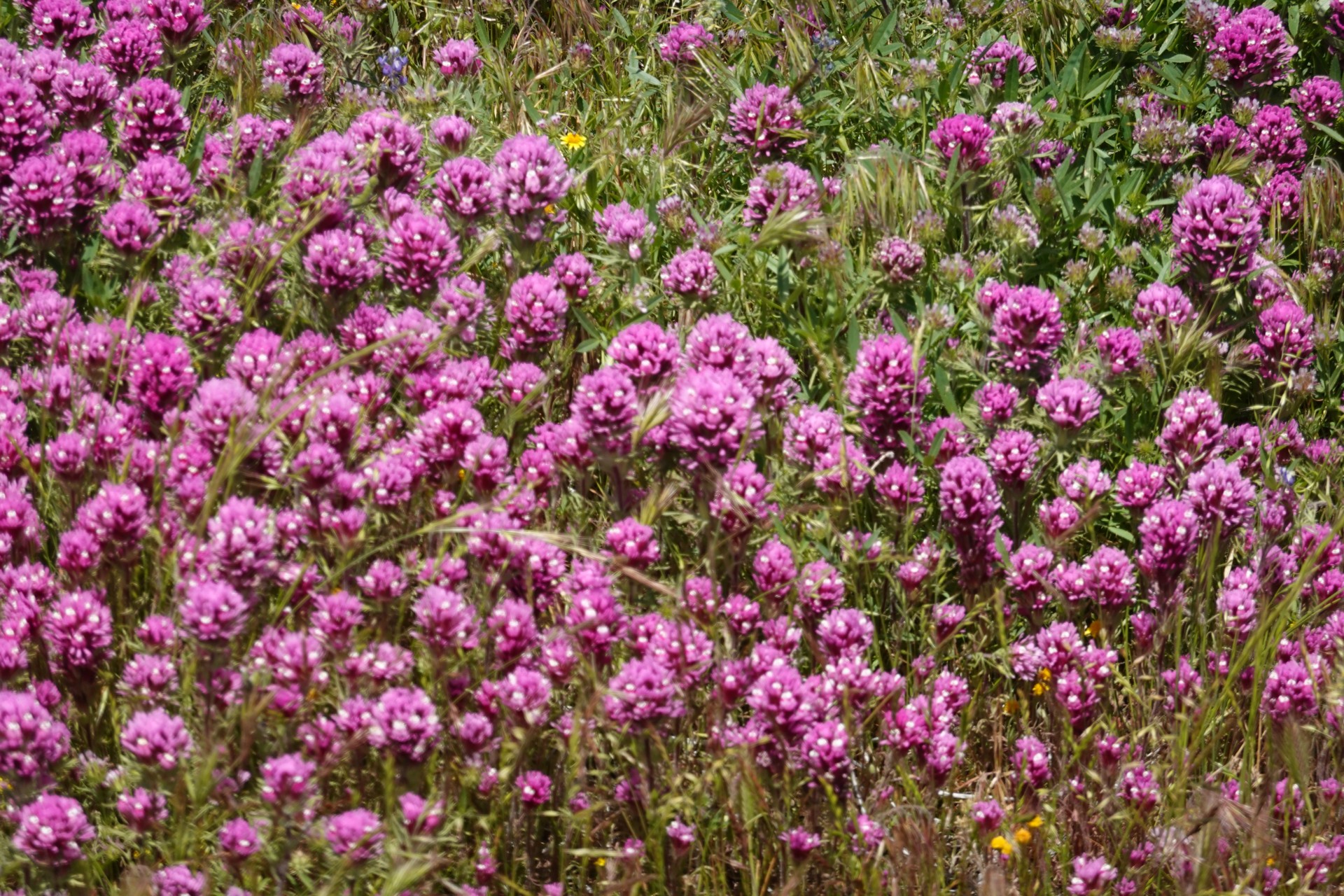
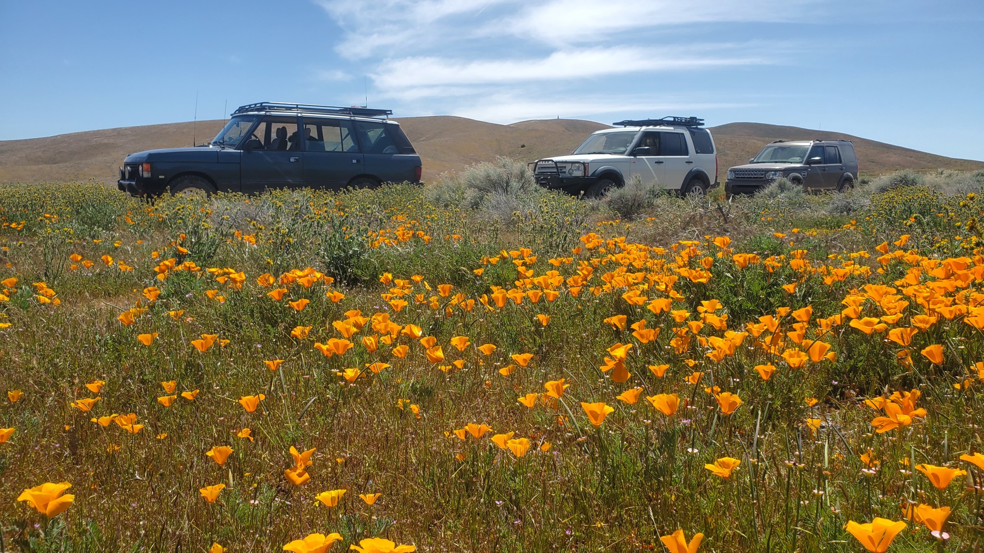
Antelope Valley Poppy Fields

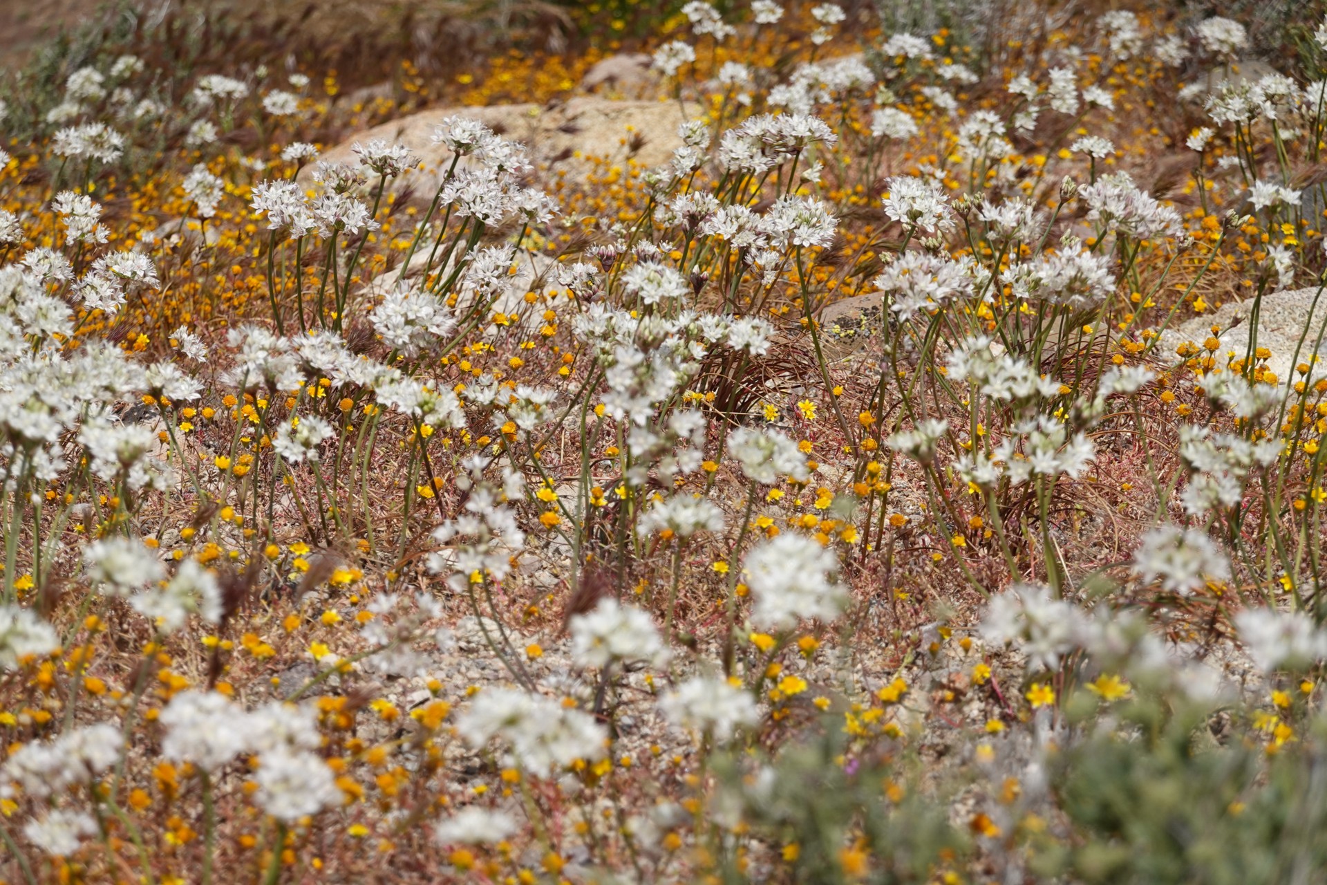
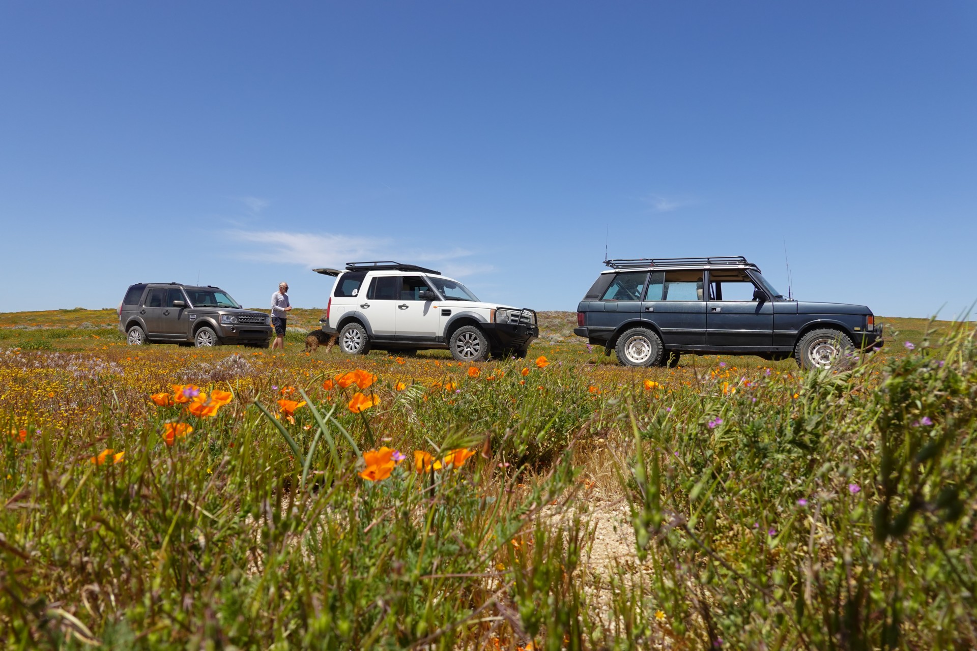
We stop for a group photo near a blooming tamarisk grove (with Fremont Butte in the background), and take our time to make the climb to the top of the butte.
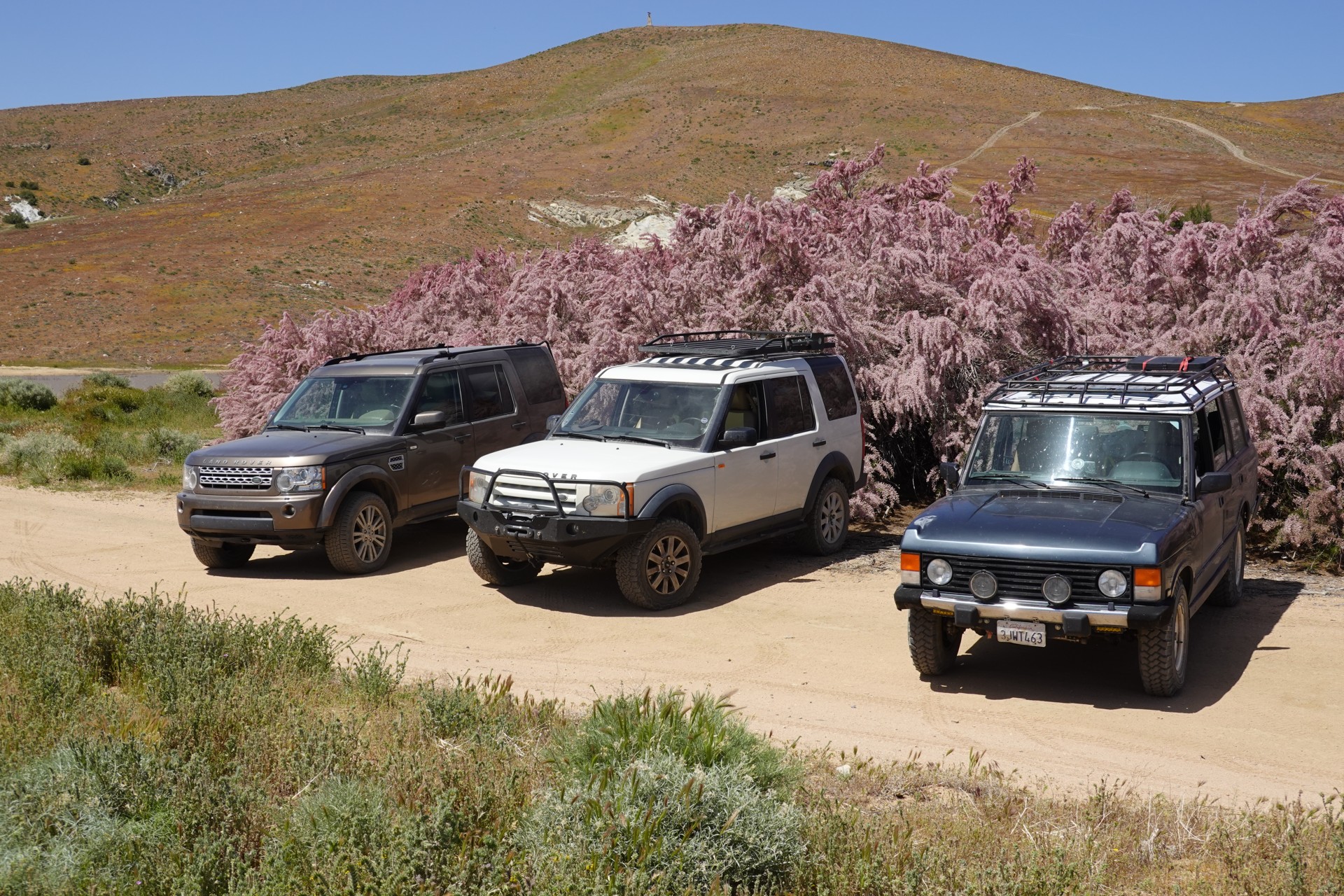
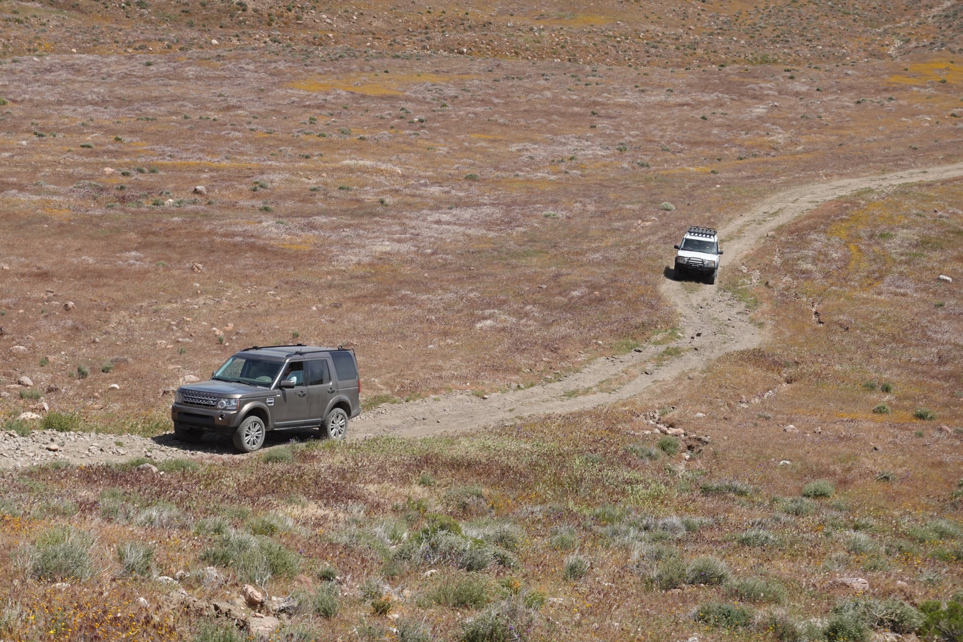
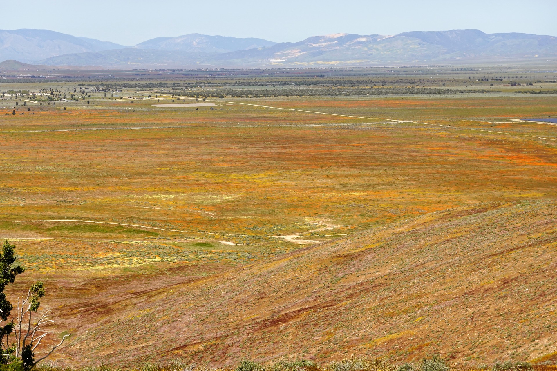

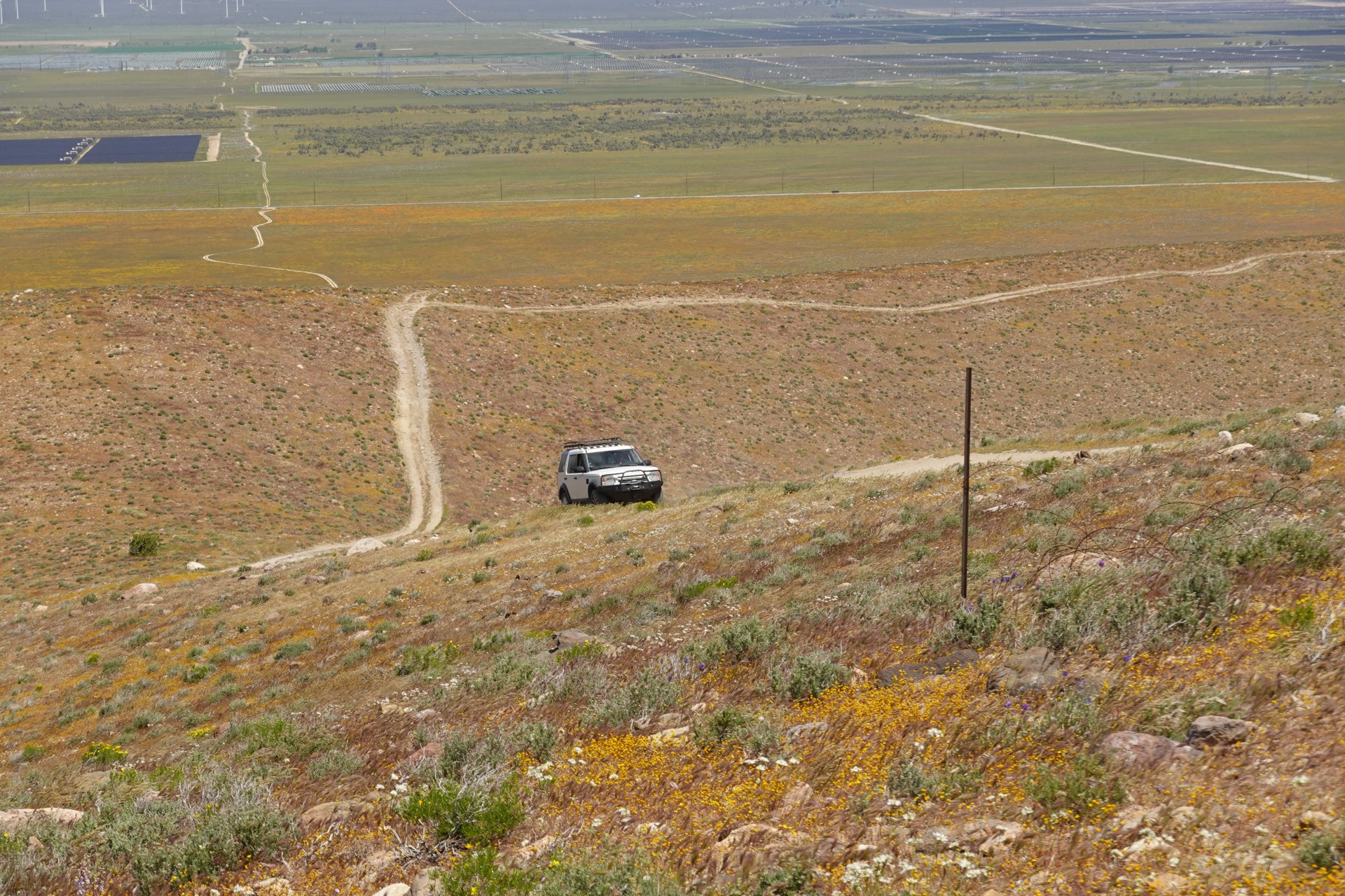
All sorts of flowers are everywhere. The place is incredibly beautiful - yet empty, we've only seen one vehicle nearby. It is nice to drive off pavement on Monday.
We stop for a quick lunch at the base of Fremont Butte, and head out to Highway 138 towards Interstate 15.
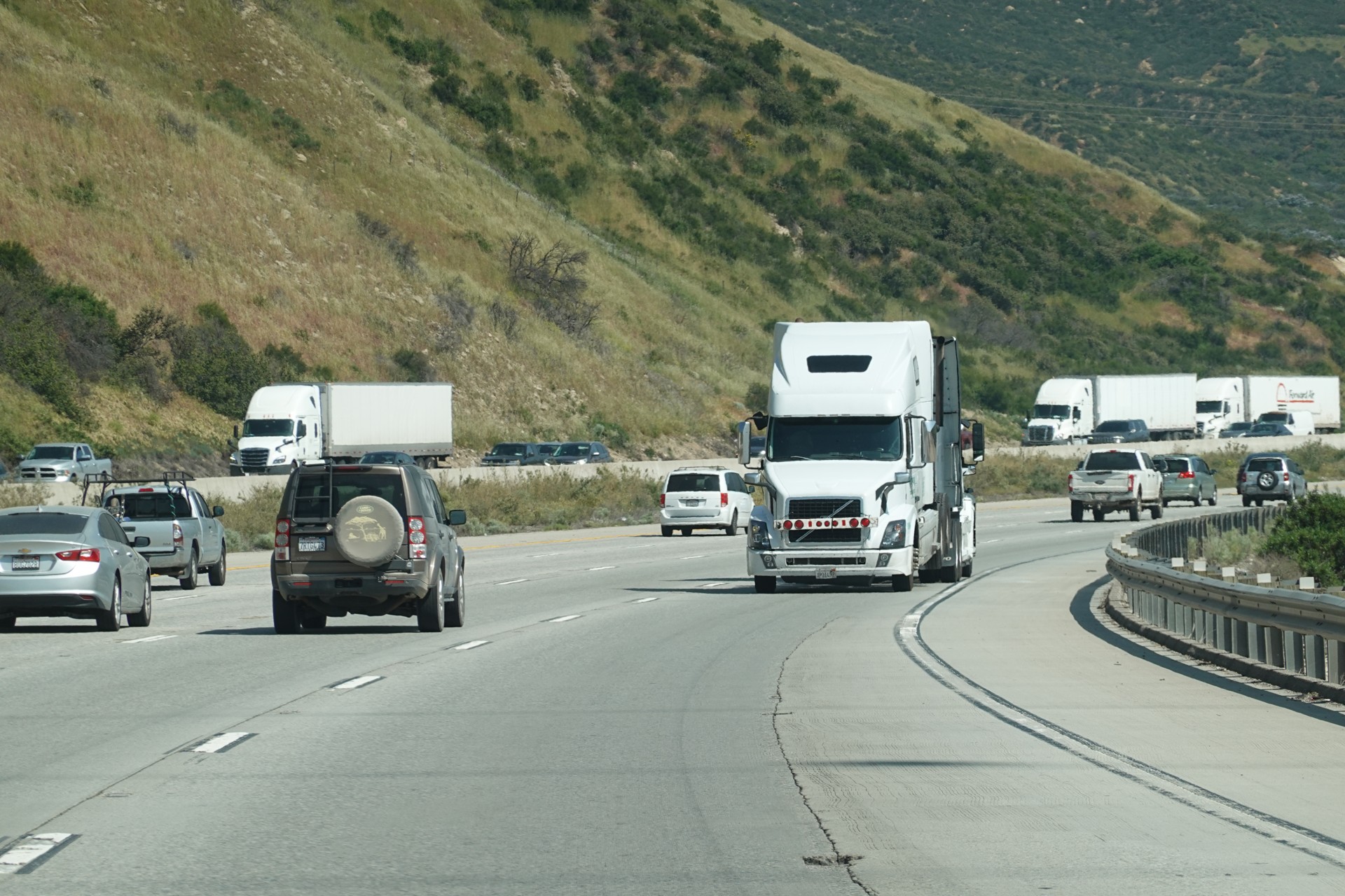
Fun on Fifteen
Unlike our experience going uphill, this time "fifteen" is not jammed up, and we make a good time. Things like this give us a chuckle.
Another LRCSD trip is behind us. It was great while it lasted! We have left so many things unseen - eastern descent from Inyo Mine, Rhyolite, Lookout City, Defense Mine - that could fill the entire next trip. Looking forward to it!