By Peter Matusov
What is about 140 miles long, doesn't have any pavement or services, and comes through an active bombing range, a National Wildlife reserve, and a National Monument?
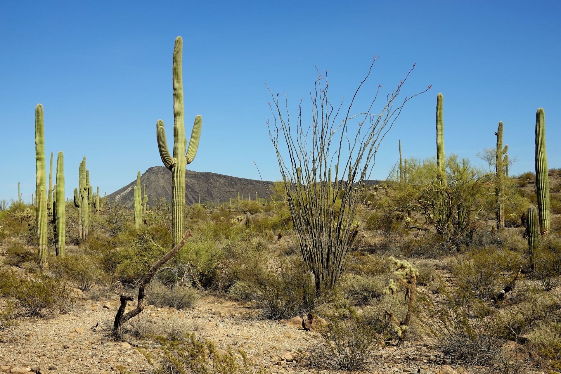
El Camino Del Diablo, of course. It is a remnant of an old - maybe thousands of years old - 250-mile-long trail crossing Sonoran Desert. It was revived in mid-1500s by Spanish conquistadors, and remained the main overland route from mainland Mexico to the tip of Gulf of California until the third quarter of the 19th century, when Southern Pacific Railroad reached Yuma in Arizona.
The extreme remoteness of the road, and harsh desert conditions - heat, lack of shade, and lack of running water - made it occasionally be referred to as El Camino Del Muerto, or Death Road.
In 1978, this route was added to the National Register of Historic Places in recognition of its historical significance.
At present, the road connects Yuma Foothills and either Ajo or Lukeville, in Arizona. There are multiple ways to cross it, resulting in varying distance estimates - from 120 to 150 miles, give or take some. The Western end of El Camino Del Diablo passes through a very active Barry M. Goldwater Air Force bombing range, so the passage along the route requires a permit from Luke Air Force Base. Further East, the road enters Cabesa Prieta National Wildlife Refuge, and then passes through Organ Pipe Cactus National Monument.
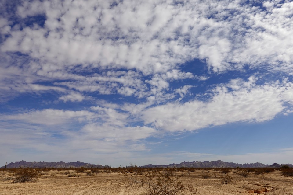
The road is passable in a high-clearance 2WD vehicle, although 4-wheel-drive is desirable, especially in any weather other than very dry. It offers almost all kinds of off-pavement entertainment - rocky sections, steep gullies, whoop-de-doos, heavy washboard, volcanic tableland with sharp rocks protruding from the road bed, sand. Some sections of the road turn into quagmires after rainstorms, so weather is of a great concern.
Summers are classic-Arizona-desert hot, with temperatures routinely beyond 100F, but monsoon season brings rainstorms (see above). Winter weather is usually very pleasant, but nights can be bitterly cold (down to mid-20s).
After a solo recon trip a year ago, we decided to traverse El Camino Del Diablo with Land Rover Club of San Diego.
We have a fairly diverse participation in the trip, vehicle-wise - a Range Rover Classic, three Discovery Series 2, a Disco 3 (LR3), a Disco 4 (LR4), two Range Rover Sports, and... a Toyota Tacoma, though driven by a co-owner of the largest non-commercial websites devoted to all things Land Rover.
Most of us meet early in the morning at Buckman Springs rest area near Interstate 8, and the rest of the crew (including the Toyota from Scottsdale, and an LR3 and Range Rover Sport from San Francisco Bay Area) join us at the edge of the dirt in Yuma.
We briefly stop at the remnants of Fortuna Mine for lunch, and continue on. Those with us with binoculars can see the bombed-out sea containers of Yodaville ("Population: 0, Home of Mark 76").
It is a fun place, with the dirt crunchy with fifty-cal shells.
Somewhere along the way, we encounter a section of the road that is perfectly positioned geometrically between a washboard and whoop-de-doos: vertical undulations with a period of about three to four feet. They make progress challenging - basically, "suck it up and drive" kind of a thing. Soon, however, they also claim the first and only mechanical victim: both front Bilstein shocks blow up in a spectacular display of hot oil and smoke on a Disco 2. There's ridiculously little - down to nothing - we can do about them; none of my spares fit a Disco 2, front or rear, and nobody is in the mood to turn around, se we decide to proceed - at somewhat reduced pace.
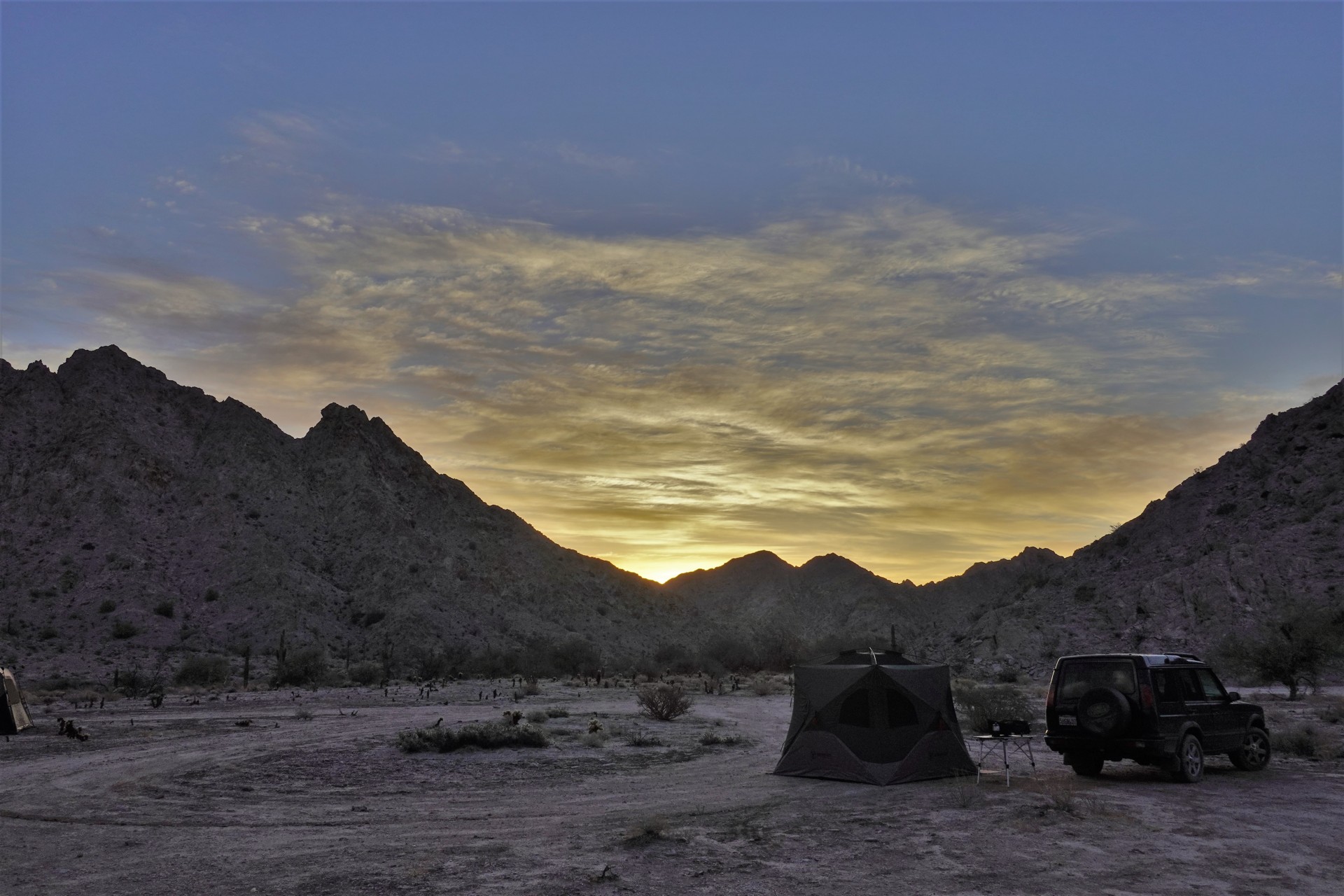
We go on to the area near Tinajas Altas Pass, and turn South to check out the Border Wall. After ample time to take photos and discuss the engineering behind the current wall design, we turn back towards the pass - but the area just before the climb is just too good to pass as a campsite: flat, not too overgrown with cholla cactus, with a good fire ring, and plenty of space for nine vehicles. By the time we camp, we have covered about 40 miles off pavement.
The evening passes in campfire chat and pulling the cholla needles from the side of Jules the Airedale.
The night is warm and quiet, but the nearly-full moon reveals all the wildlife to four dogs in our party - so sleep could have been better.
* * *
The morning is serene.
The plans for Saturday call for nearly 80 miles of the road - so we break the camp and sail out around 9.
We drive through Tinajas Altas Pass without stopping to walk up to the Tinajas Altas - The High Tanks - themselves; I kick myself for not drawing everyone's attention to these. These "tanks" are pretty deep and large cavities on the rock surface in the mountains, capturing whatever little rainfall happens in the area - up to the total of twenty thousand gallons; they have been used as a water source for indigenous people and explorers alike - some of which died trying to reach the tanks or finding them dry and void.
We enter Cabesa Prieta about 8.5 miles from camp - along a flat wide road. Here, El Camino Del Diablo was straightened, widened, and flattened, by Border Patrol to deliver the construction materials for the border wall, to the dismay of ECD die-hards and environmentalists. I appreciate their feelings - to the extent opposite of my Range Rover's appreciation for the smooth road surface. Here, we fill our Cabesa Prieta entry permits and carry on.
We have a quick stop to allow the rear guard to catch up with the main group, and proceed to Tule Well.
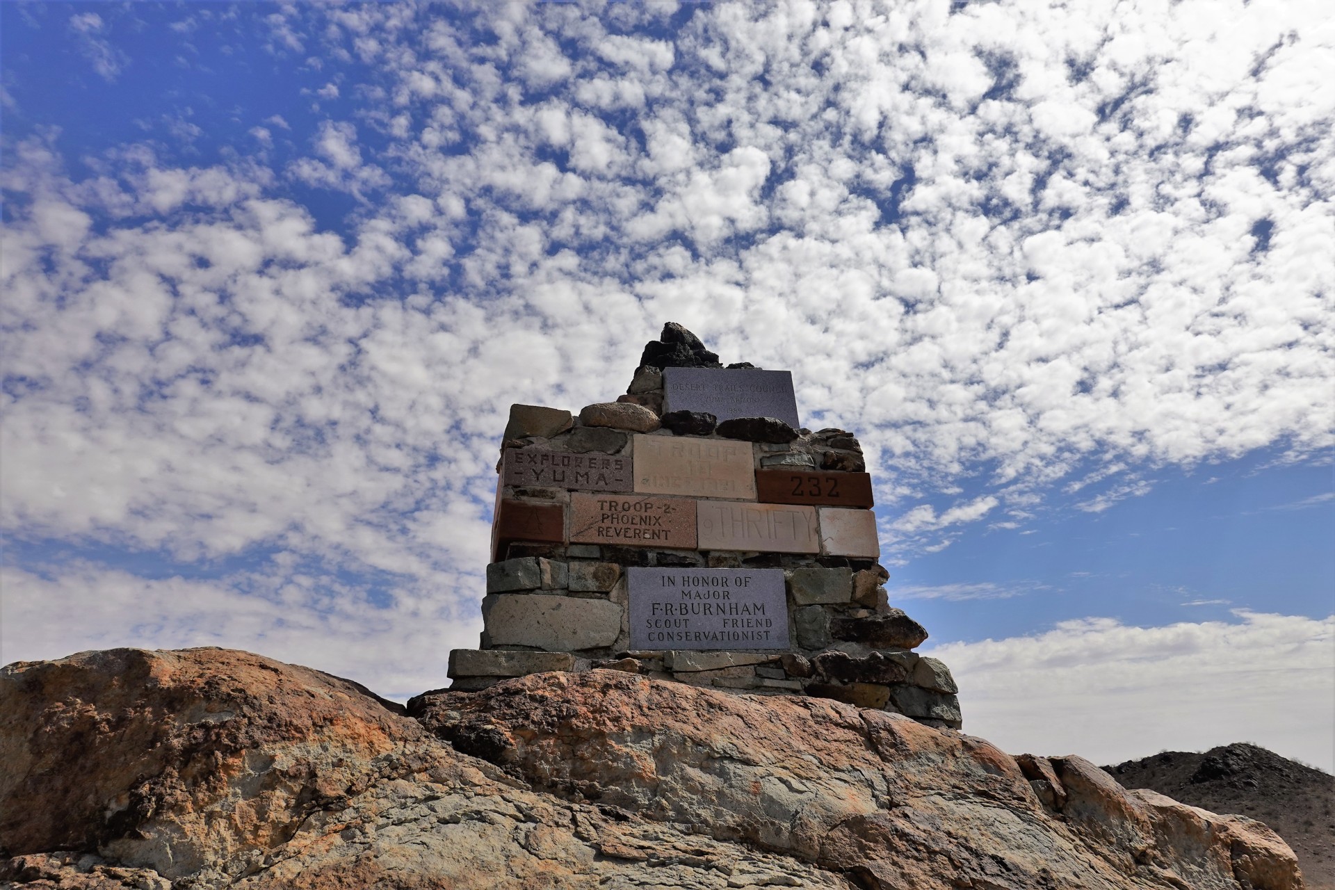
It is an old ranch site, with a cabin built in 1989 to replace the old 1949-era one, and a windmill-powered well pumping groundwater into a plastic storage tank with a spigot. Overlooking the well site there is a monument built by Boy Scouts to commemorate the establishment of Cabesa Prieta National Wildlife Refuge in 1939.
The cabin's door was nailed shut since our last visit to it a year ago; the well site is a good place to camp, with a couple of camping tables and even park-style barbecue pits. The water from the tank is not considered potable - but in a pinch, throughly boiled, could be used for cooking.
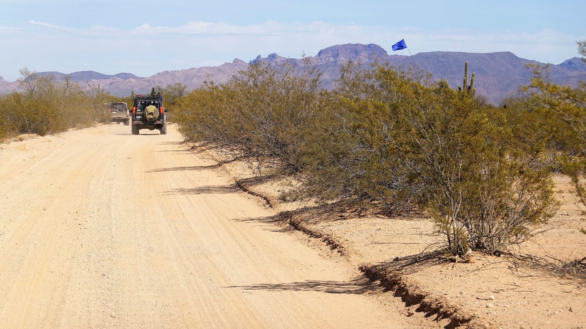
From this point, a rough road follows North through Christmas Pass towards Tacna on Interstate 8, about 48 miles away. Our path forward is East, however, along El Camino Del Diablo. In 15 miles or so, we climb slowly over Pinacate Lava Flow - the road is very rocky. A few very well defined volcanic craters can be seen all around.
The road continues with its diversity of terrain: shortly after crossing the lava flow, we're down to sand and dust: we are driving through an area of several dry lake beds, called "Las Playas."
The chatter on VHF picks up, with comments on how horrendous this section would be in or after a rainstorm. Yes it would be, despite the deep ruts we saw a year ago now bulldozed flat.
It is late afternoon already, and we still have ways to go - so the trip to Papago Mine is left for the future. We pass a bizarre wetland - with all sorts of vegetation on both sides of the road, before crossing into Organ Pipe Cactus National Monument. The sign advises us of having to pay a fee to visit the area - fortunately, toll booths are rare on El Camino Del Diablo.
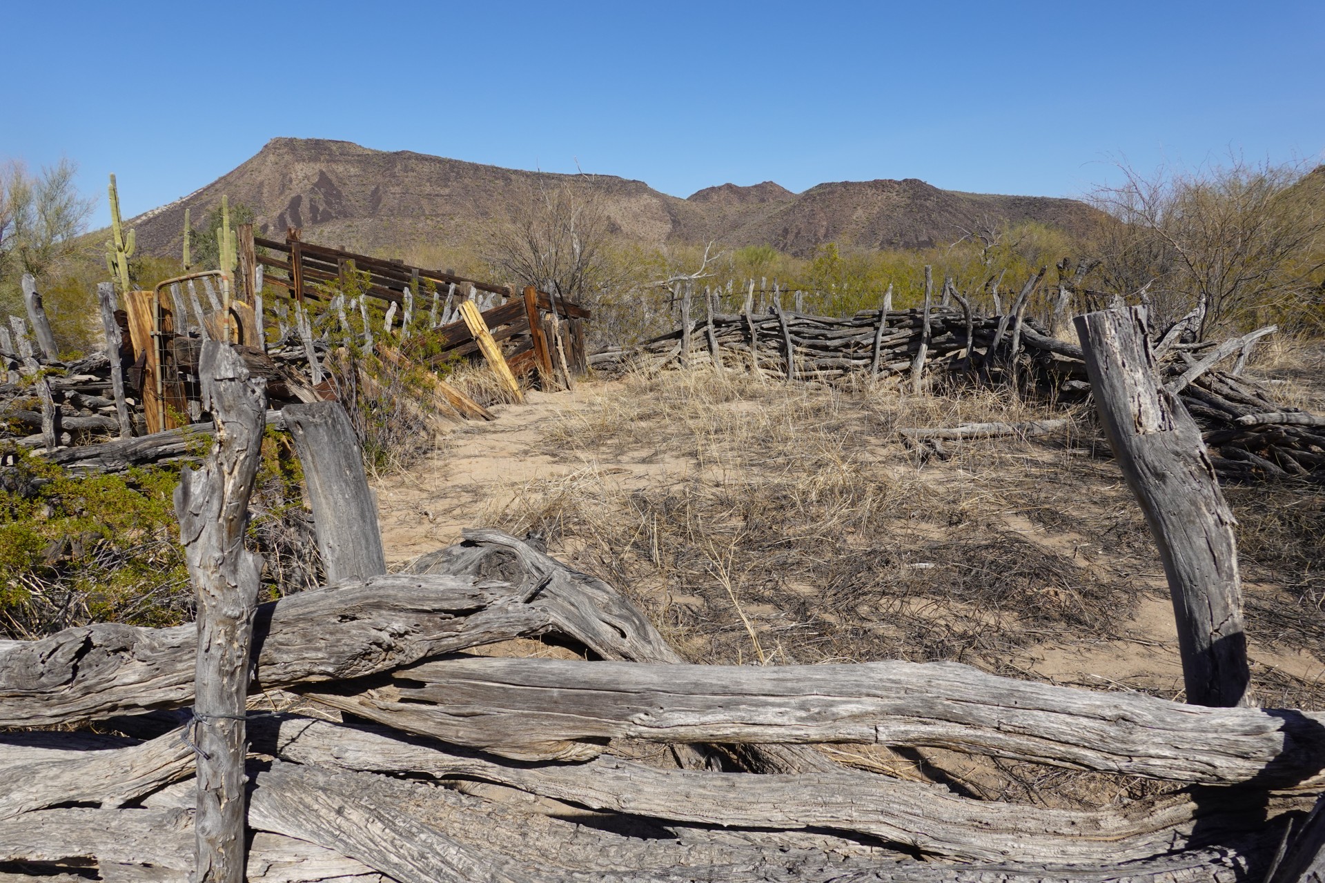
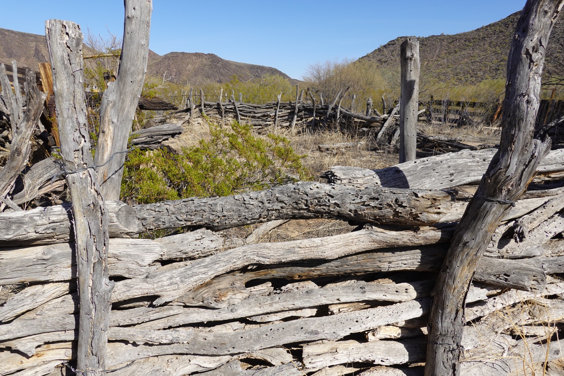
After about an hour of driving through cholla and saguaro "forests," we arrive to the site of Bates Well. This is one of the last places in this desert that had been a cattle ranch until mid-1970s, despite the land being a part of a National Monument for nearly forty years. The last hold-out, a farmer named Henry Gray, died in 1976 - and with that, the cattle were gone.
Today, a couple of corrals, a few cabins, and a windmill-powered well pump still stand. One of the cabins seems to have been rebuilt recently, although I am not sure if I'd camp inside.
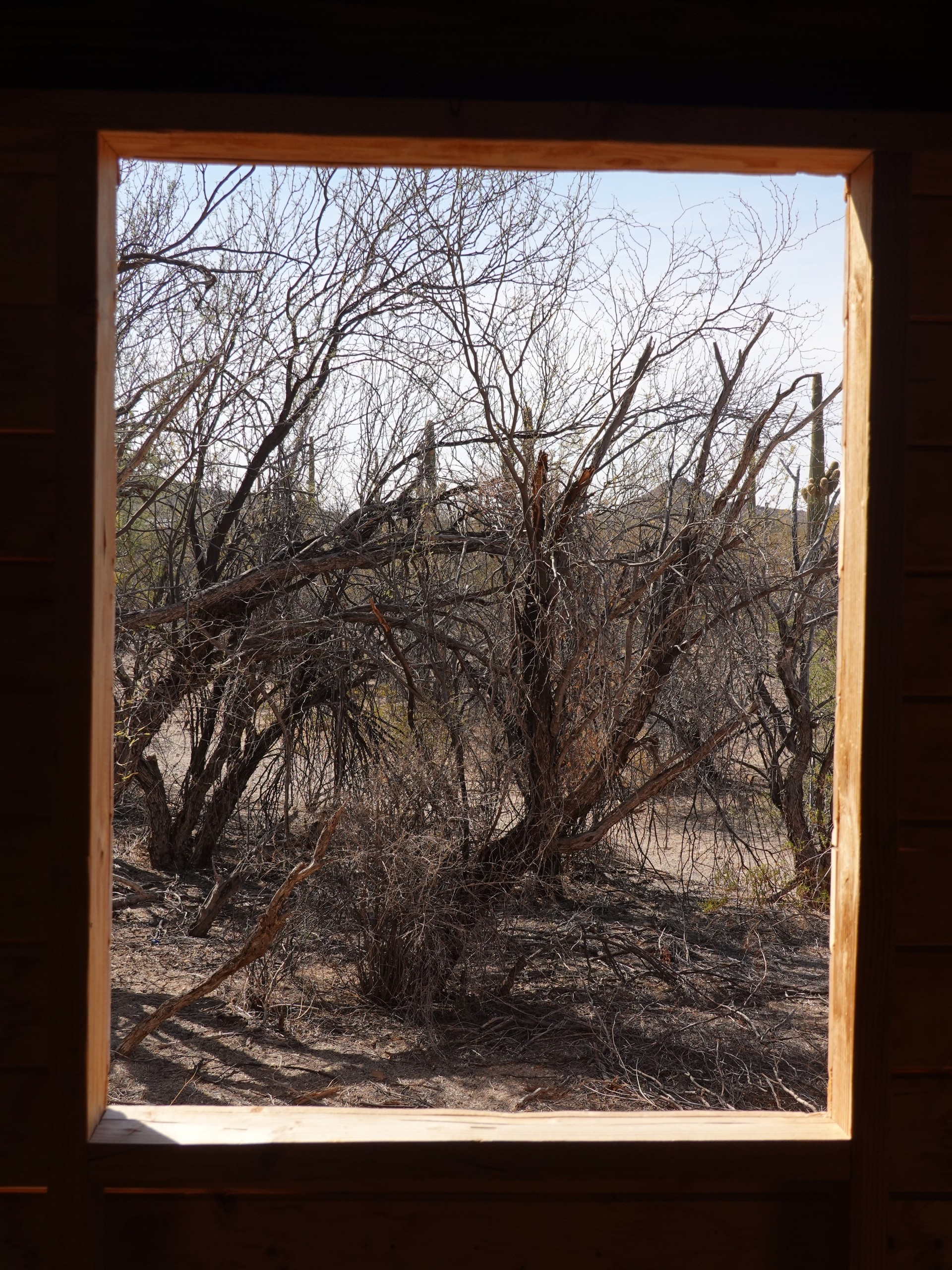
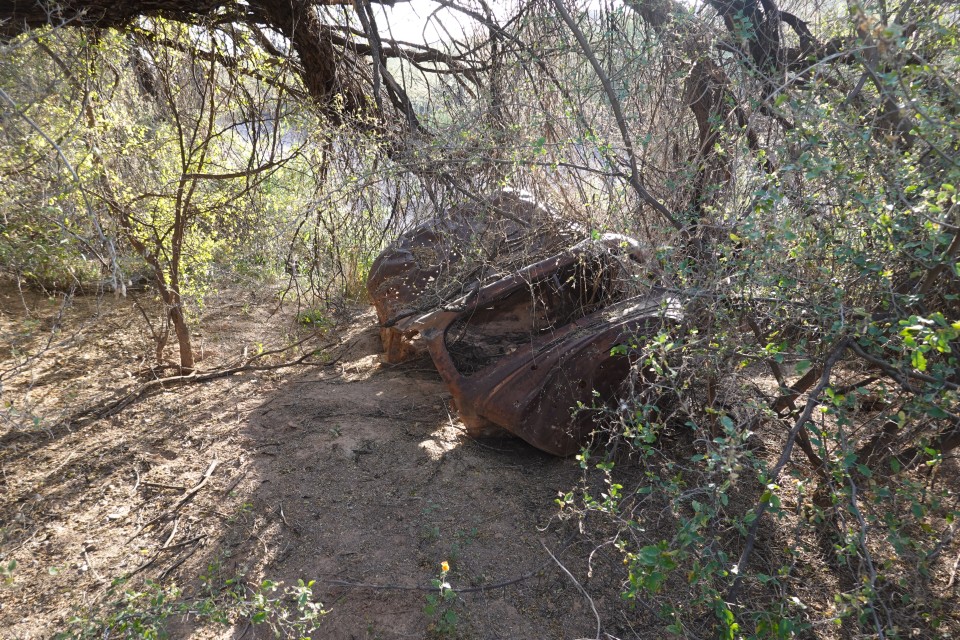
Four miles later, we leave the boundaries of Organ Pipe NM, and start looking for a suitable campsite in the foothills of the Scarface Mountain. The area is overgrown with cholla, and we find not a single wide or flat area. We return on the main Bates Well road, and meander for another five or six miles until we come across a gorgeous group campsite near Eastern slope of John the Baptist Mountains. Here, we can really spread out; the fire ring is enormous and has to be emptied of old ashes. Close by, there's a gravesite of one Dave Harrison, who called it quits in 1994. Not far from it, we find remains of a 1930s Ford panel van, and attempt to winch it out to the open - without much success.
Soon, tents are set up, food is cooking, whiskey's out, and campfire - roaring. Life is great.
* * *
We all seem to have had a great night of sleep - most of the crew wakes up early. By nine, all but our friends from the Bay Area are ready to hit the road - so we part ways and take what we think is a nice and straight cut to the main road.
It turns out nothing like it - with deep gullies, sand, and overgrown with brush and palo verde. Some pinstriping is definitely added to the Land Rover body panels, low range is needed, and center diff lock is occasionally helpful.
But it was short - and we left with about 12 miles of Bates Well road until the familiar sight of a copper mine tailings if in front of us.
We don't know that the yellowish-gray wall in front of us is New Cornelia Mine Tailings deposit is considered the largest dam structure in the United States, with a volume of 7.4 billion cubic feet. The mine, as many others in Arizona, belonged to Phelps Dodge from 1931 to 2007, and was taken over by Freeport McMoran mining conglomerates. The mine has a distinction of being the first copper mine in the state of Arizona - something I also learn way after the trip.
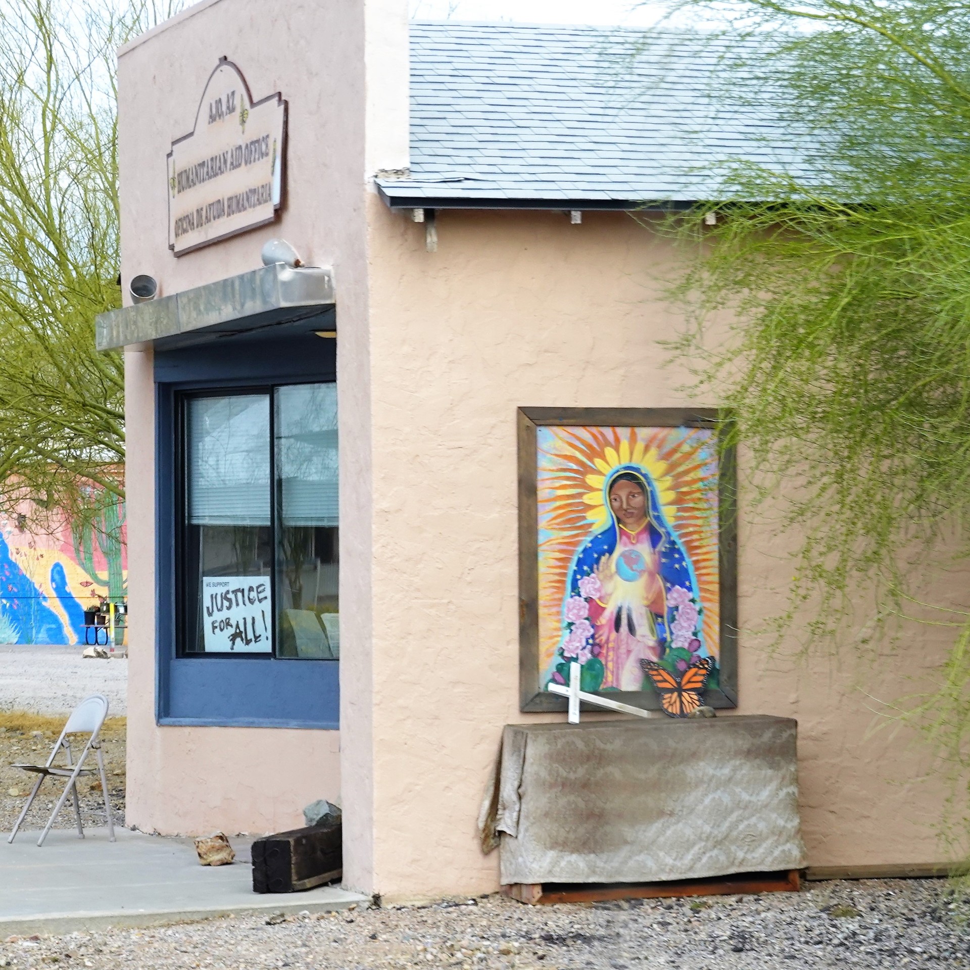
It takes us a long while to drive around the tailings, and we roll through a nice town of Ajo, with very Spanish-looking Immaculate Conception Churche and a proper Plaza de Armas.
Our quest for a pair of front shock absorbers for a Disco 2 goes nowhere with the only Napa Auto Parts store closed for Sunday, so we continue North on highway 85 all the way to Gila Bend.
Here we part ways with quick highway gobblers like Range Rover Sport or an LR4, and trundle home to San Diego only fast enough for the un-damped Disco 2 to remain stable. I note the fact that I've been driving along the same route about three weeks earlier behind a Defender 110 powered by a 300TDi turbo-diesel, at about the same pace. This time, the stiff headwind ruins my chance to post another gas mileage record for a V8-powered Range Rover Classic with badly-working automatic.
Now's time to plan another trip - to visit all the places we missed.
* * *