|
Backroads of Utah
story: Peter Matusov photos: Mike Gorbunov and Peter Matusov Back to introduction | slide show | On to Elephant Hill |
|
The plan for the first day of our trip began with its end: I booked a room at a Best Western in St.George, Utah. Since it's only 450 miles from home, we were in no hurry to take off, and enjoyed doing nothing until about about 2pm. Just in case you are unfamiliar with Interstate 15 between San Diego and St.George, Utah, and don't plan on stopping in Las Vegas, the only thing deserving attention is a 30-mile winded stretch crossing the very North-Western tip of Arizona. And that happened after dark, so that leaves absolutely nothing to mention, besides a small transfer case oil leak that was gradually rust-proofing the rear of the truck. As an honorable mention, that stretch marked the second time since 2001 when I needed the second gear on an Interstate Highway... Next morning, woke up late - we've only had 400 or so miles to cover. A water leak in the hotel denied me the pleasure of flushing the head the very last time, but rewarded with half-off discount on our night's stay. A quick dive under the truck revealed that the most of the oil was still present in the transfer case, and off we went, back to I-15, for some 50 miles. We wouldn't get back to an Interstate until late in the day. In Cedar City, we split off to Utah state Hwy.14 towards U.S. 89. The road wastes no time to start a steep climb to more than 9000 ft, winding its way through a narrow canyon lined with conifers and aspens. I realized that it was the very first time I've been in Utah in the fall - the flaming yellow patches of aspens made me pull over and take pictures every couple of miles. There's also a pull-over on this road with a view of the backside of Zion National Park. We've travelled on this road before, in the opposite direction, in April of 2006. This time, Mike had a different design. Halfway through, we turned North on Hwy.148 through Cedar Breaks National Monument. The road was largely empty; we stopped at the Park central area to enjoy the views that rivalled those of Bryce Canyon. The road climbs from 9000 to about 10500 ft, and hovers within a couple of hundred feet of this elevation for several miles. Halfway through the park, we turned East on Hwy.143 towards Panguitch. Drove by Panguitch Lake - it was largely deserted, with a few fishermen around. Stopped for lunch in Panguitch; the only open restaurant was mobbed by dozens of fairly senior citizens touring the Utah backroads (or, maybe, on their way to or from Bryce Canyon). I've had an unusual meeting with a fellow who worked at Scripps Institution of Oceanography long ago - we've remembered a few people who we both knew, and he shared with me his fascination with global warming and strong dislike for President Bush. After lunch, we pulled out to Hwy.89 North, and took off. Mike took the helm, and I tried to take my eyes off the oncoming traffic and our own position with respect to the dashed yellow line. A lifted Discovery on tall rubber has some common character traits with an Airedale terrier - that is, strong opinions about where we should be going. And, like an Airedale, it needs constant attention and rather decisive hand to keep under control. We held on to U.S.89 until Circleville, and a few miles later turned East on Hwy.62 through Kingston. In Koosharem, we took the Browns Lane shortcut to State Rte.24. The road didn't waste any time leaving the valley floor at 7000 ft, and picked up some 1400 ft in elevation in a few miles. Near the little town of Loa, we resisted temptation to cut short to Interstate 70 using Hwy.72, and stayed on the Hwy.24 all the way through Capitol Reef National Monument. At a risk of disclosing a Utah State secret, let's say that the beauty of the Red Rock country can be seen in its full extent without a mandatory visit to a toll booth at Bryce Canyon, Arches, Zion, and many other National Parks scattered across the state. Moreover, travelling Utah backroads gives you a chance not to litter our informational superhighway by repeatedly taking exactly the same photos as those already printed in glossy calendars and magazines (unless, of course, you consider Photoshop cheating and insist on having your own photo on some famous background.) Come to think about, they might just introduce that littering ordinance, right after taxing the Internet access... Meanwhile, we are just as guilty of that as anyone - but it feels nice to pretend to be original. We would revisit this concept in Monument Valley in a few days. Around Hanksville, UT, Highway 24 gradually turned North-East, towards Interstate 70. Red scenery was replaced with orange, then yellow, then turned gray and stayed that way until the I-70. We've hit I-70 East, ignored the pleas of Green River to stop by, fuel up, and have lunch, and marched on to U.S.191 interchange. From there, there's only 32 short miles to Moab. The scenery gradually recaptured its color content, and we hit the town right before sunset. A pleasant surprise was in store for us - Joe Aiello from LRCSD spotted my white Disco rolling by while he and the rest of LRCSD gang was waiting for their table at Moab Brewery, and summoned me on the cell phone. The timing could not possibly have been better! At dinner, we met with the rest of San Diego crew and Dan Mick. Two Polygamy Porters later, we hit the rack at La Quinta Inn, just across the street from the Brewery. Back to introduction | slide show | On to Elephant Hill |
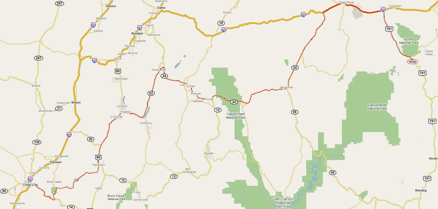 Sneaking up on Moab
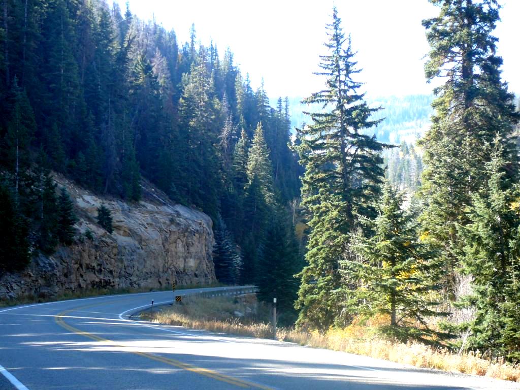 Utah Highway 14 East of Cedar City.
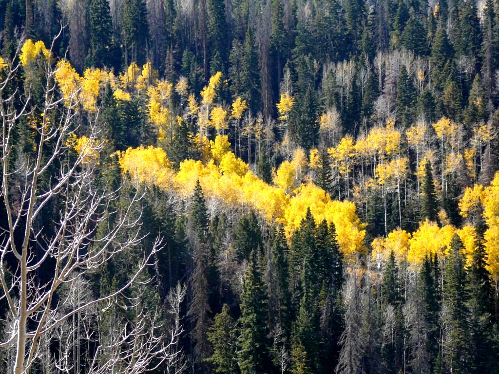 Bright yellow flashes of aspens followed us all the way to Moab
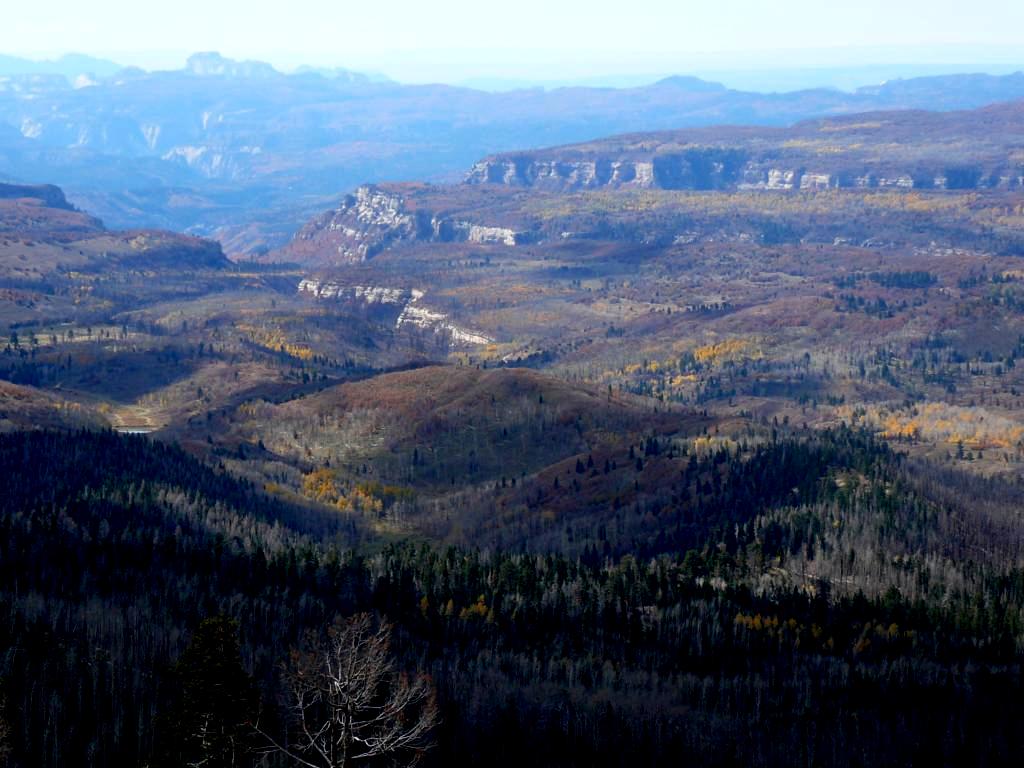 Zion Canyon overlook
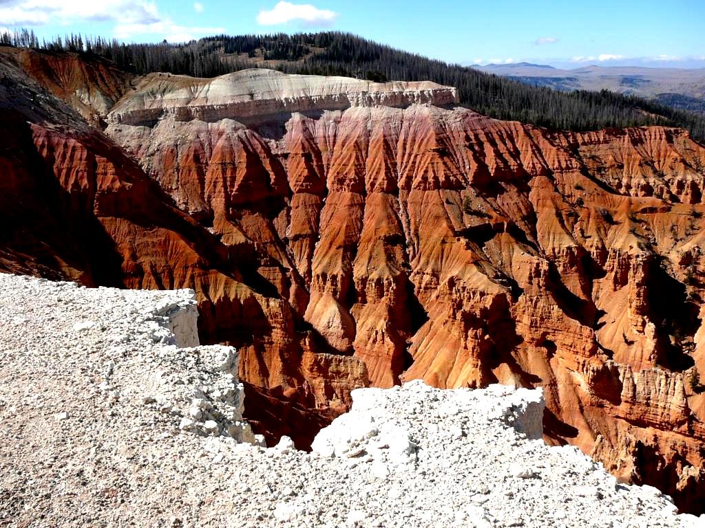 Cedar Breaks National Monument (Hwy.148)
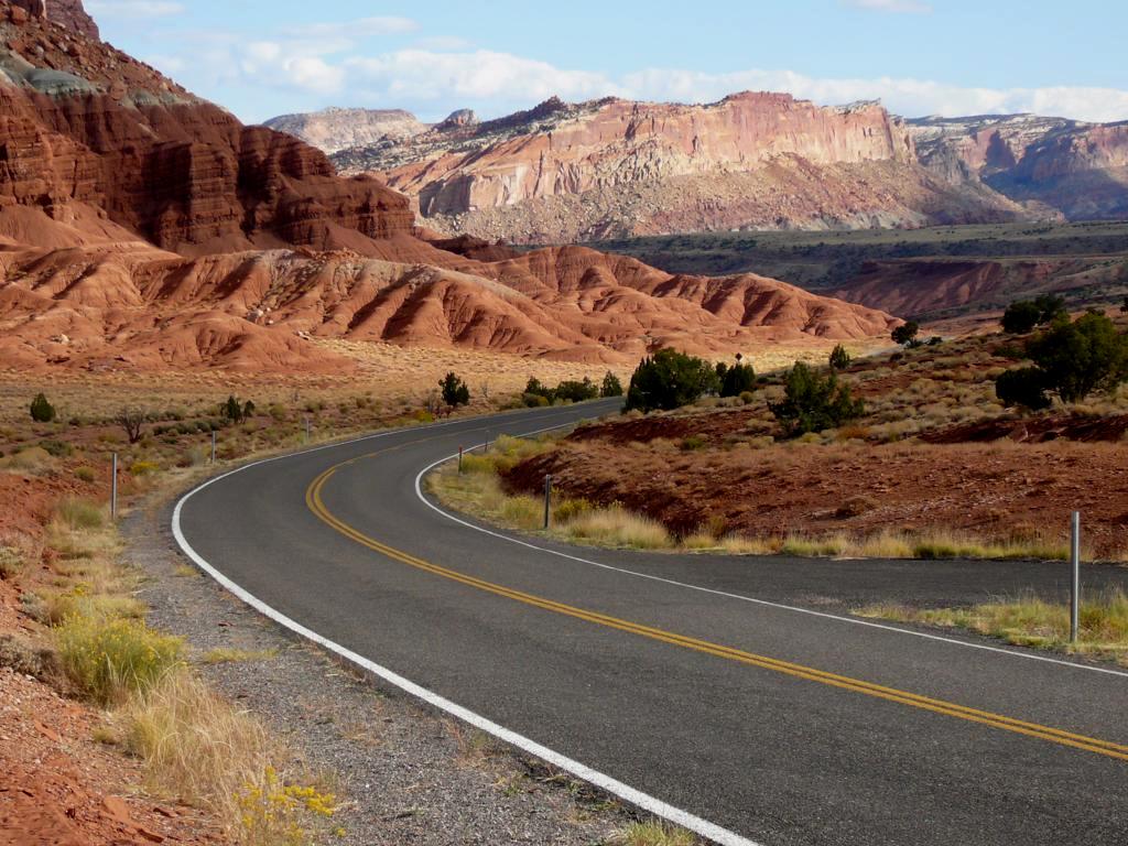 Capitol Reef National Monument (Hwy.24)
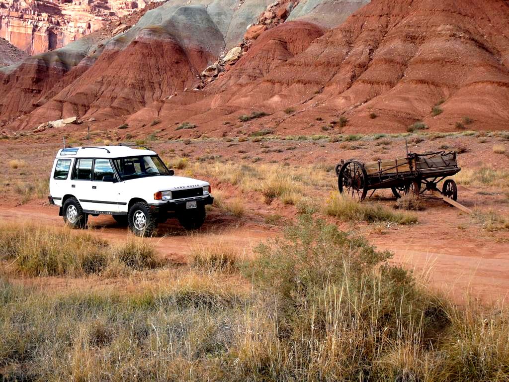 Now, we finally hit the red dirt!
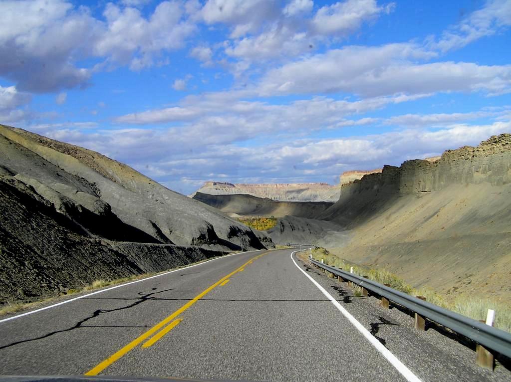 Utah Highway 24 between Hanksville and Interstate 70.
|